Twin Lakes is a census-designated place in Ferry County, Washington, United States.
| Name: | Twin Lakes CDP |
|---|---|
| LSAD Code: | 57 |
| LSAD Description: | CDP (suffix) |
| State: | Washington |
| County: | Ferry County |
| Elevation: | 2,590 ft (790 m) |
| Total Area: | 4.2 sq mi (10.8 km²) |
| Land Area: | 4.2 sq mi (10.8 km²) |
| Water Area: | 0.0 sq mi (0.0 km²) |
| Total Population: | 59 |
| Population Density: | 14/sq mi (5.5/km²) |
| Area code: | 360 |
| FIPS code: | 5373065 |
Online Interactive Map
Click on ![]() to view map in "full screen" mode.
to view map in "full screen" mode.
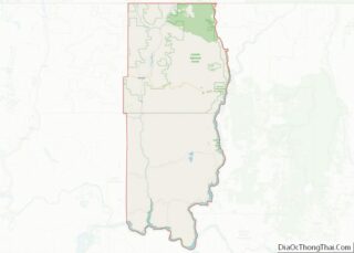
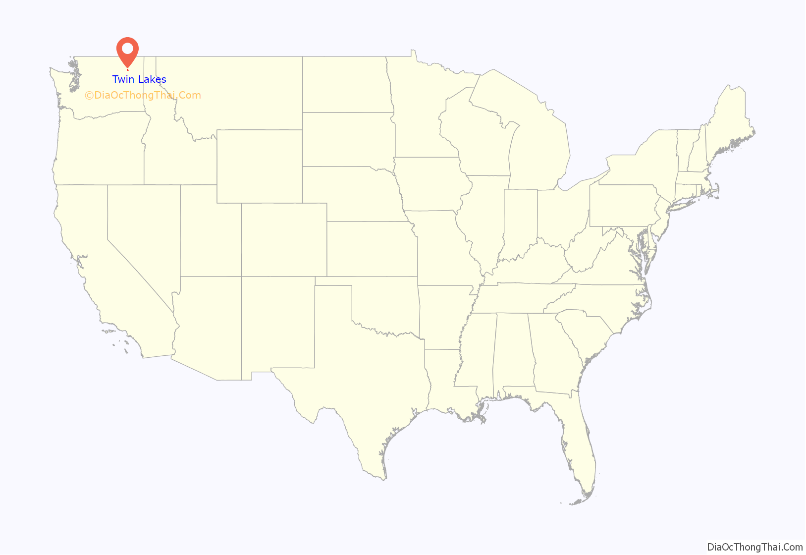
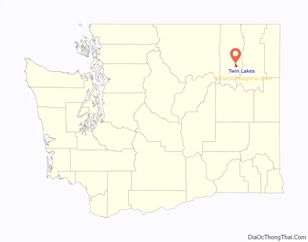
Twin Lakes location map. Where is Twin Lakes CDP?
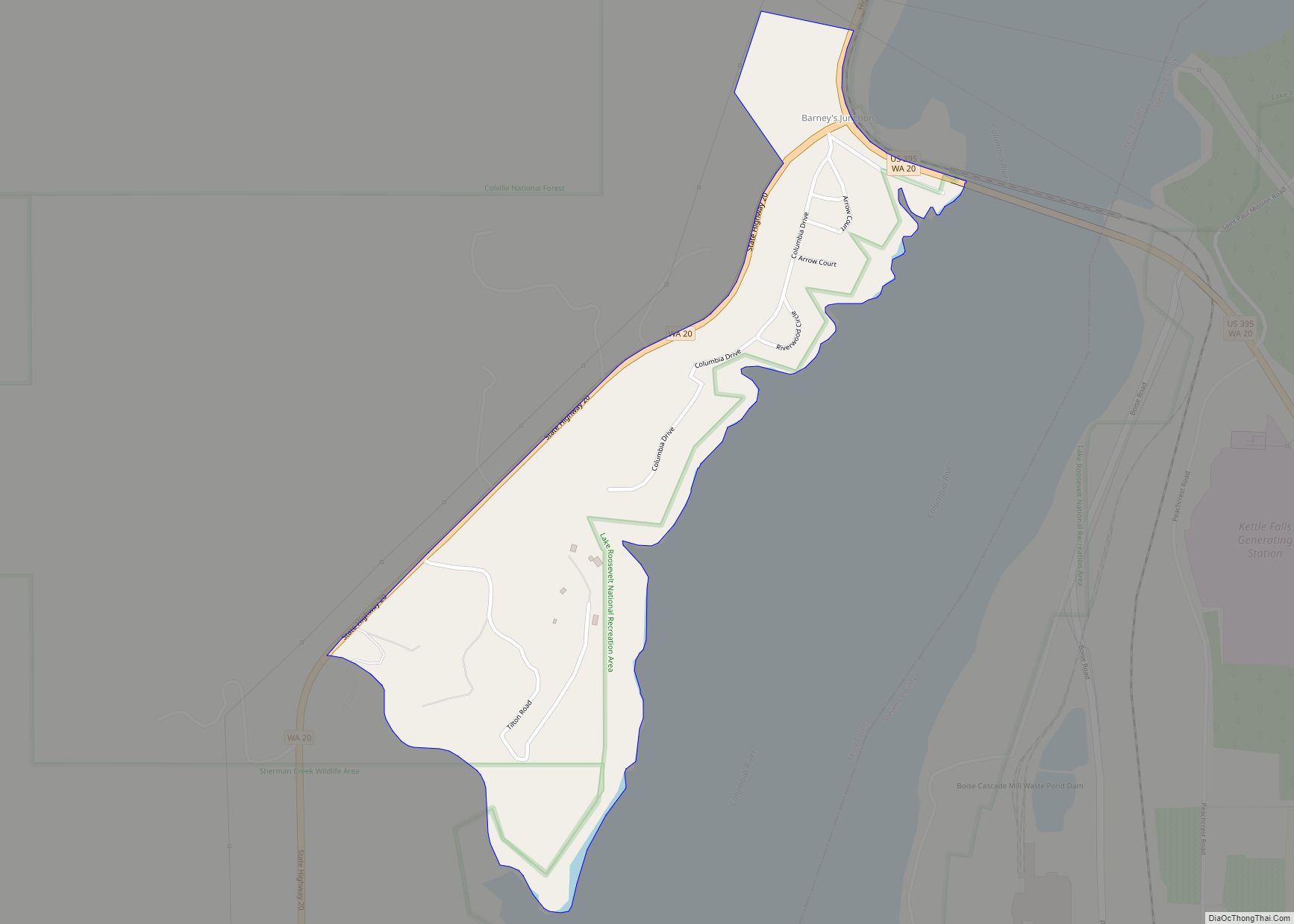
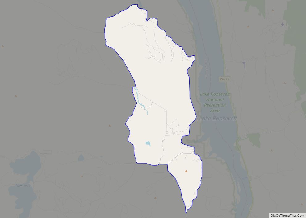
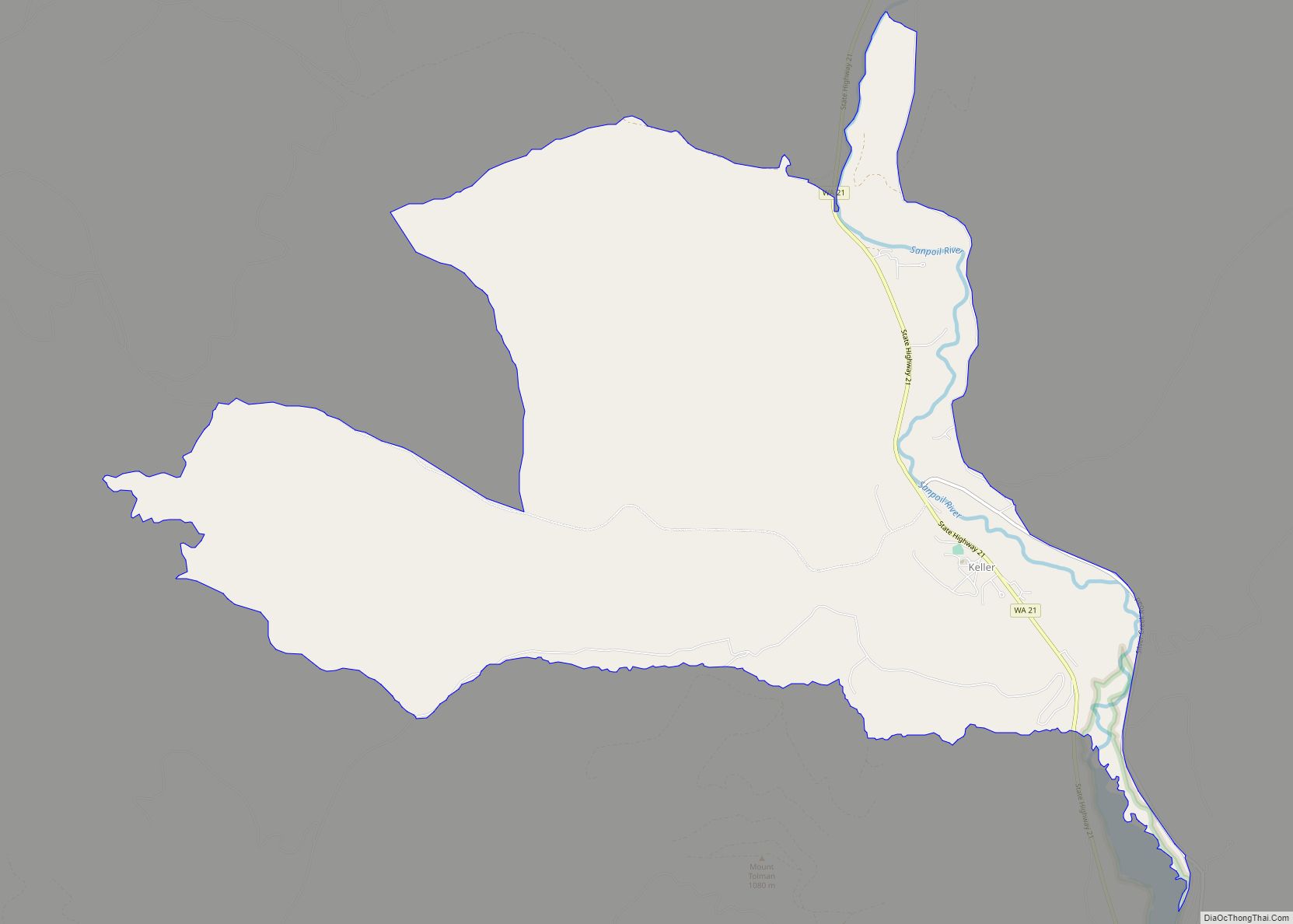
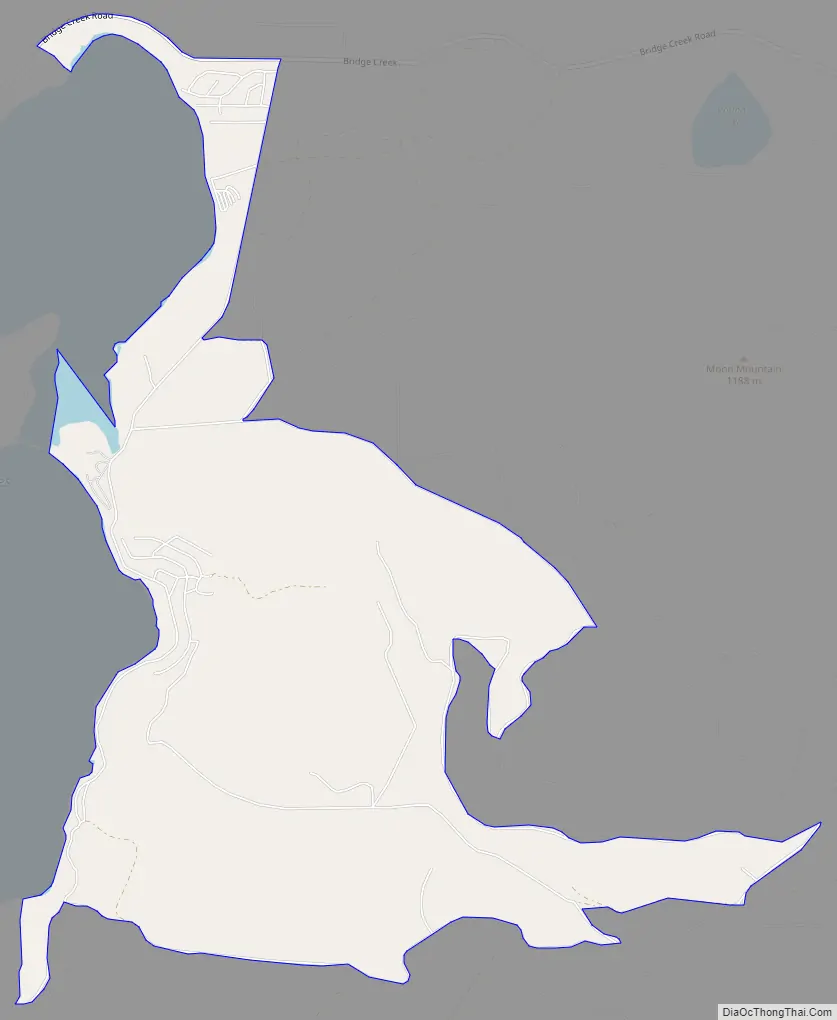
Twin Lakes Road Map
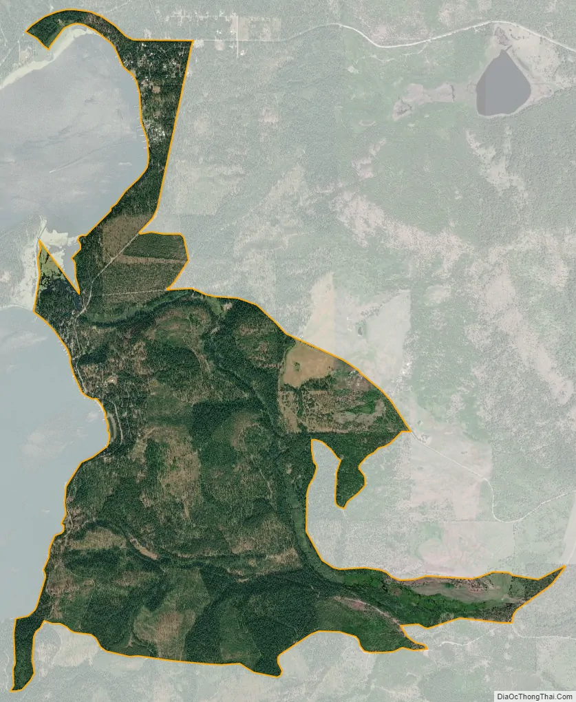
Twin Lakes city Satellite Map
Geography
Twin Lakes is located in southeastern Ferry County at coordinates 48°15′44″N 118°21′32″W, on the east side of North and South Twin Lakes. The lakes’ outlet is Cornstalk Creek, which leaves the north end of North Twin Lake and flows east to the Columbia River at Inchelium. Bridge Creek Road leads east 8 miles (13 km) from North Twin Lake to Inchelium and west across Gold Mountain Ridge 22 miles (35 km) to Washington State Route 21 in the Sanpoil River valley.
According to the U.S. Census Bureau, the Twin Lakes CDP has a total area of 4.2 square miles (10.8 km), all of it land.
See also
Map of Washington State and its subdivision:- Adams
- Asotin
- Benton
- Chelan
- Clallam
- Clark
- Columbia
- Cowlitz
- Douglas
- Ferry
- Franklin
- Garfield
- Grant
- Grays Harbor
- Island
- Jefferson
- King
- Kitsap
- Kittitas
- Klickitat
- Lewis
- Lincoln
- Mason
- Okanogan
- Pacific
- Pend Oreille
- Pierce
- San Juan
- Skagit
- Skamania
- Snohomish
- Spokane
- Stevens
- Thurston
- Wahkiakum
- Walla Walla
- Whatcom
- Whitman
- Yakima
- Alabama
- Alaska
- Arizona
- Arkansas
- California
- Colorado
- Connecticut
- Delaware
- District of Columbia
- Florida
- Georgia
- Hawaii
- Idaho
- Illinois
- Indiana
- Iowa
- Kansas
- Kentucky
- Louisiana
- Maine
- Maryland
- Massachusetts
- Michigan
- Minnesota
- Mississippi
- Missouri
- Montana
- Nebraska
- Nevada
- New Hampshire
- New Jersey
- New Mexico
- New York
- North Carolina
- North Dakota
- Ohio
- Oklahoma
- Oregon
- Pennsylvania
- Rhode Island
- South Carolina
- South Dakota
- Tennessee
- Texas
- Utah
- Vermont
- Virginia
- Washington
- West Virginia
- Wisconsin
- Wyoming