Vader is a city in Lewis County, Washington, United States. The population was 629 at the 2020 census.
| Name: | Vader city |
|---|---|
| LSAD Code: | 25 |
| LSAD Description: | city (suffix) |
| State: | Washington |
| County: | Lewis County |
| Elevation: | 161 ft (49 m) |
| Total Area: | 0.93 sq mi (2.41 km²) |
| Land Area: | 0.93 sq mi (2.41 km²) |
| Water Area: | 0.00 sq mi (0.00 km²) |
| Total Population: | 629 |
| Population Density: | 721.21/sq mi (278.47/km²) |
| ZIP code: | 98593 |
| Area code: | 360 |
| FIPS code: | 5373780 |
| GNISfeature ID: | 1512755 |
| Website: | vaderwa.org |
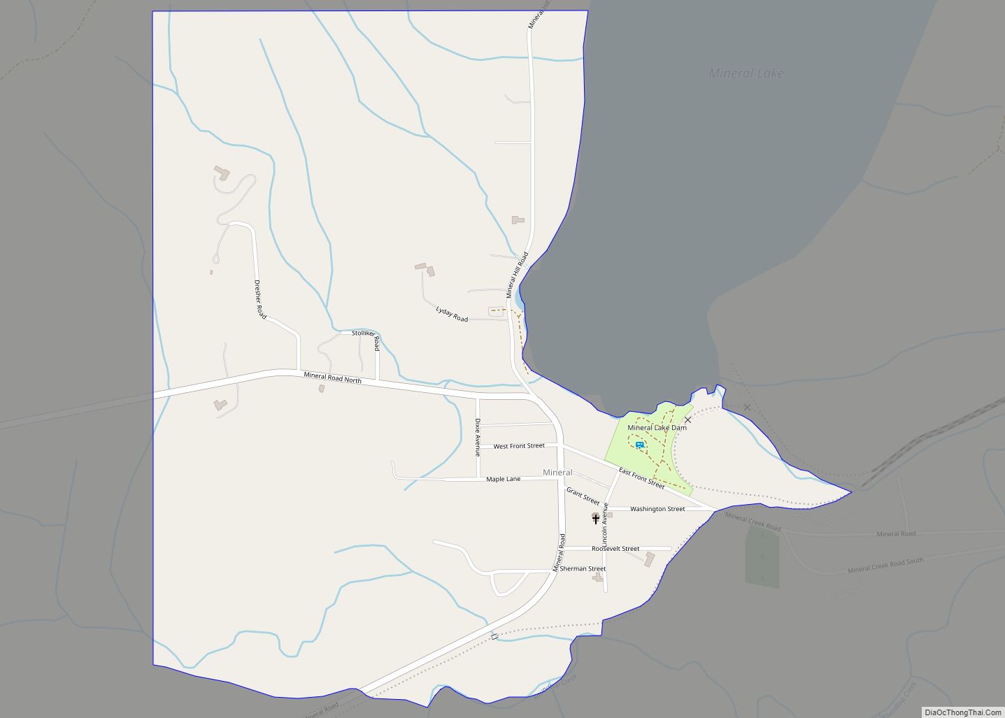
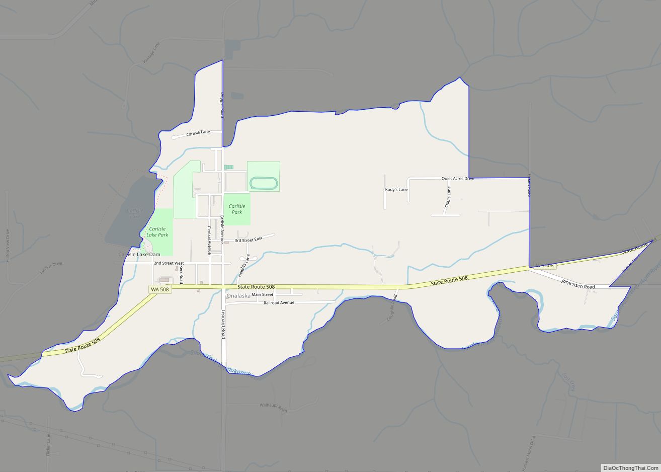
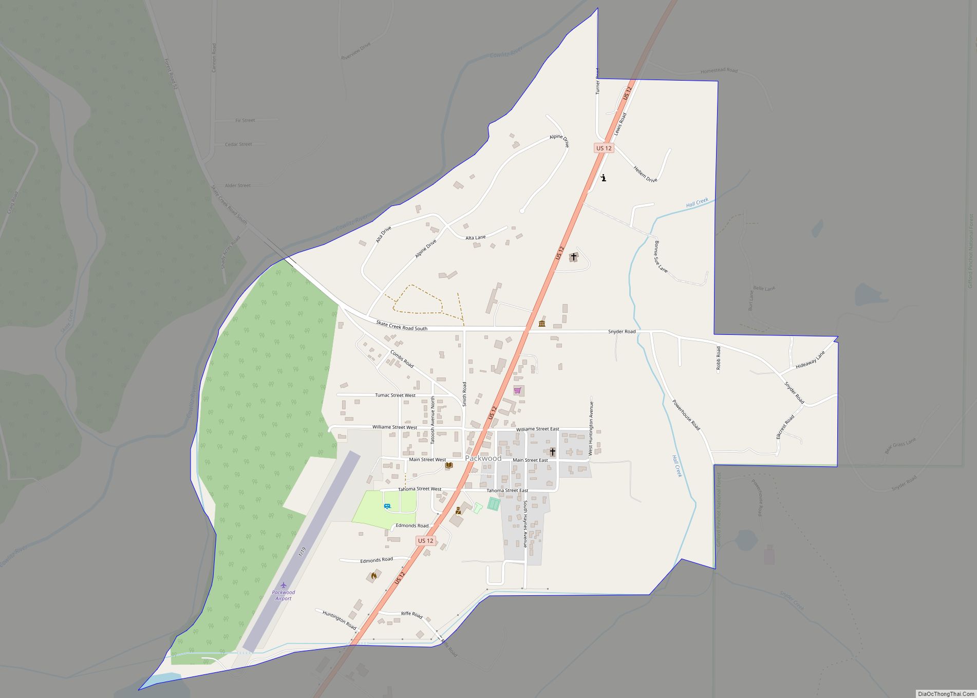
Online Interactive Map
Click on ![]() to view map in "full screen" mode.
to view map in "full screen" mode.
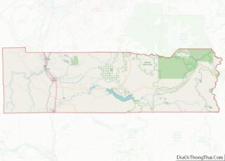
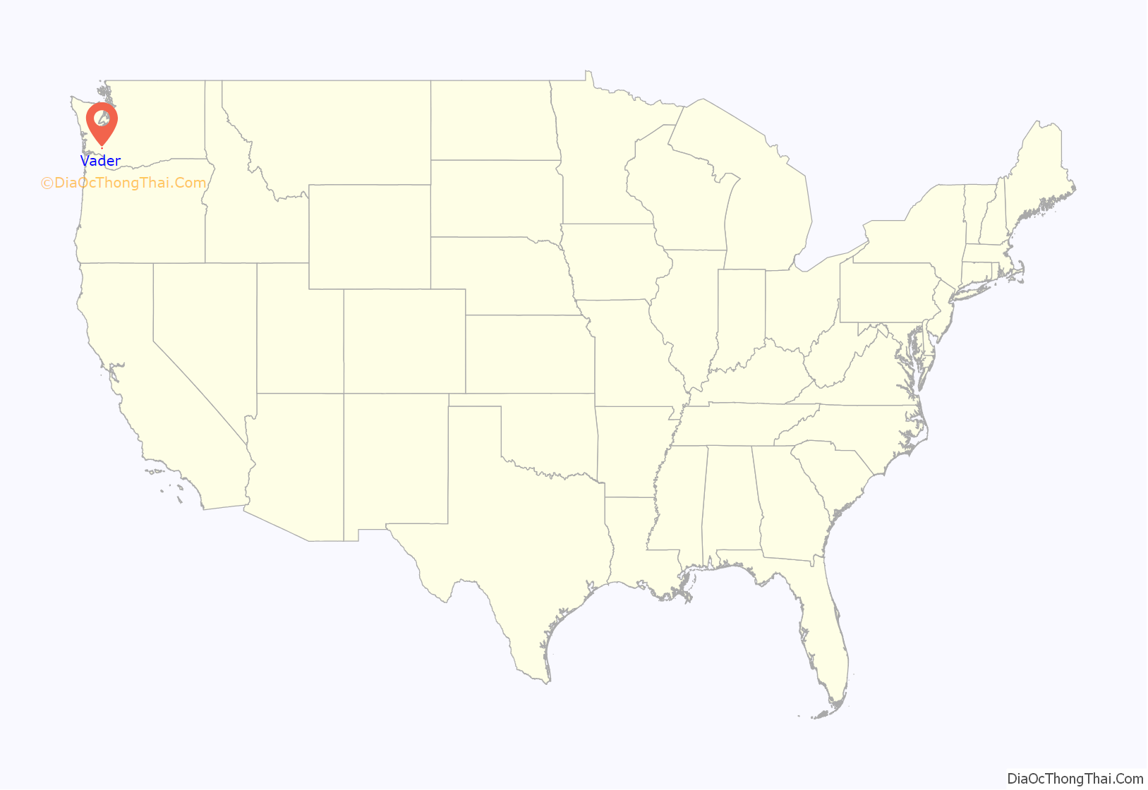
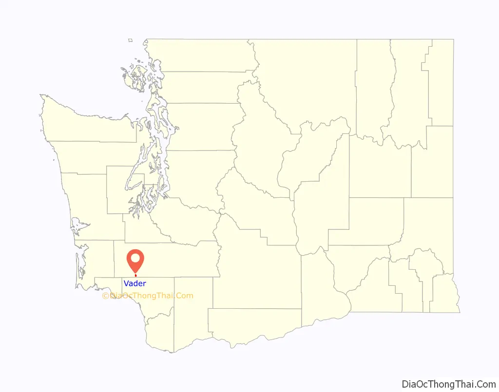
Vader location map. Where is Vader city?
History
Vader was originally named Little Falls and incorporated on January 12, 1906. The name was changed to Sopenah by the Northern Pacific Railway because there was already a Little Falls on their rail lines, Little Falls, Minnesota. The townspeople were unsatisfied with the new name and petitioned the Washington State Legislature to change it to Toronto. A dispute then arose which was resolved by a compromise agreement to name the town after a German resident (and Civil War veteran) named Martin Vader. The town name was changed to Vader by the legislature on March 25, 1913. Vader later moved to Florida.
More recently, a motion was made to change the name back to its original name, Little Falls. The motion was placed on the November 3, 2015 ballot to determine voter approval. But as of the last count (November 4, 2015), residents chose to retain Vader as the town name by a 3-to-2 margin.
Vader is the birthplace of the novelist and critic Robert Cantwell and silent film actor Herbert Heyes.
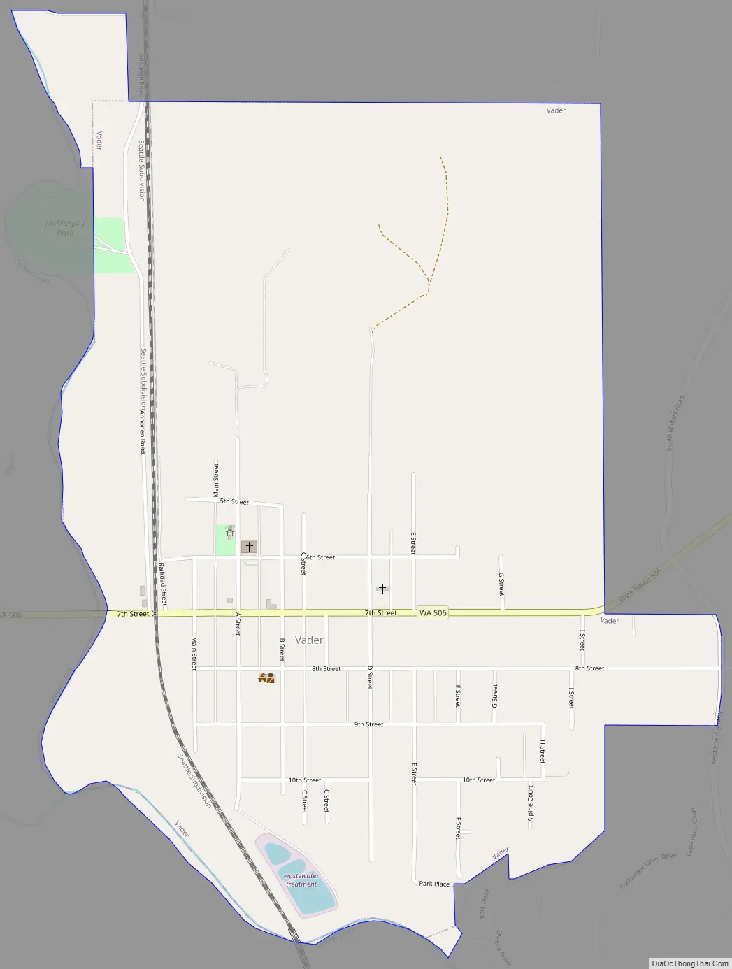
Vader Road Map
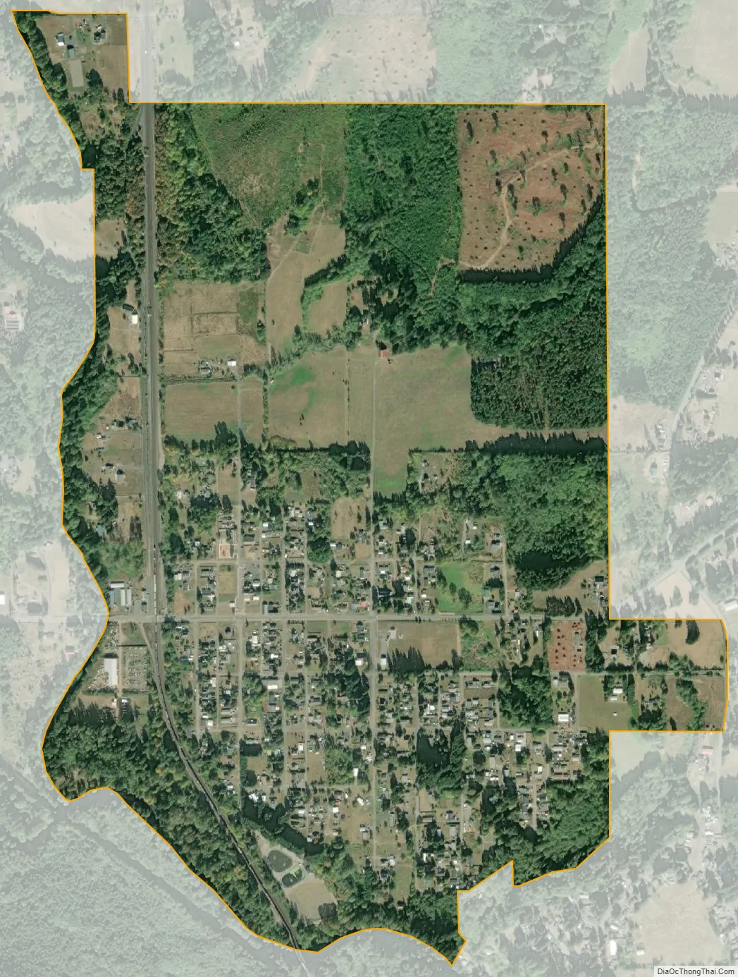
Vader city Satellite Map
Geography
Vader is located at 46°24′5″N 122°57′29″W / 46.40139°N 122.95806°W / 46.40139; -122.95806 (46.401425, -122.958090).
According to the United States Census Bureau, the city has a total area of 0.93 square miles (2.41 km), all of it land.
See also
Map of Washington State and its subdivision:- Adams
- Asotin
- Benton
- Chelan
- Clallam
- Clark
- Columbia
- Cowlitz
- Douglas
- Ferry
- Franklin
- Garfield
- Grant
- Grays Harbor
- Island
- Jefferson
- King
- Kitsap
- Kittitas
- Klickitat
- Lewis
- Lincoln
- Mason
- Okanogan
- Pacific
- Pend Oreille
- Pierce
- San Juan
- Skagit
- Skamania
- Snohomish
- Spokane
- Stevens
- Thurston
- Wahkiakum
- Walla Walla
- Whatcom
- Whitman
- Yakima
- Alabama
- Alaska
- Arizona
- Arkansas
- California
- Colorado
- Connecticut
- Delaware
- District of Columbia
- Florida
- Georgia
- Hawaii
- Idaho
- Illinois
- Indiana
- Iowa
- Kansas
- Kentucky
- Louisiana
- Maine
- Maryland
- Massachusetts
- Michigan
- Minnesota
- Mississippi
- Missouri
- Montana
- Nebraska
- Nevada
- New Hampshire
- New Jersey
- New Mexico
- New York
- North Carolina
- North Dakota
- Ohio
- Oklahoma
- Oregon
- Pennsylvania
- Rhode Island
- South Carolina
- South Dakota
- Tennessee
- Texas
- Utah
- Vermont
- Virginia
- Washington
- West Virginia
- Wisconsin
- Wyoming