West Richland is a city in Benton County, Washington. The population was 16,295 at the time of the 2020 census. The city is part of the Tri-Cities metropolitan area, whose principal cities (the Tri-Cities) are Richland, Kennewick, and Pasco.
| Name: | West Richland city |
|---|---|
| LSAD Code: | 25 |
| LSAD Description: | city (suffix) |
| State: | Washington |
| County: | Benton County |
| Incorporated: | June 13, 1955 |
| Elevation: | 413 ft (126 m) |
| Total Area: | 22.28 sq mi (57.71 km²) |
| Land Area: | 22.11 sq mi (57.28 km²) |
| Water Area: | 0.17 sq mi (0.43 km²) |
| Total Population: | 16,295 |
| Population Density: | 730/sq mi (280/km²) |
| ZIP code: | 99352-99353 |
| Area code: | 509 |
| FIPS code: | 5377665 |
| GNISfeature ID: | 1512794 |
| Website: | westrichland.org |
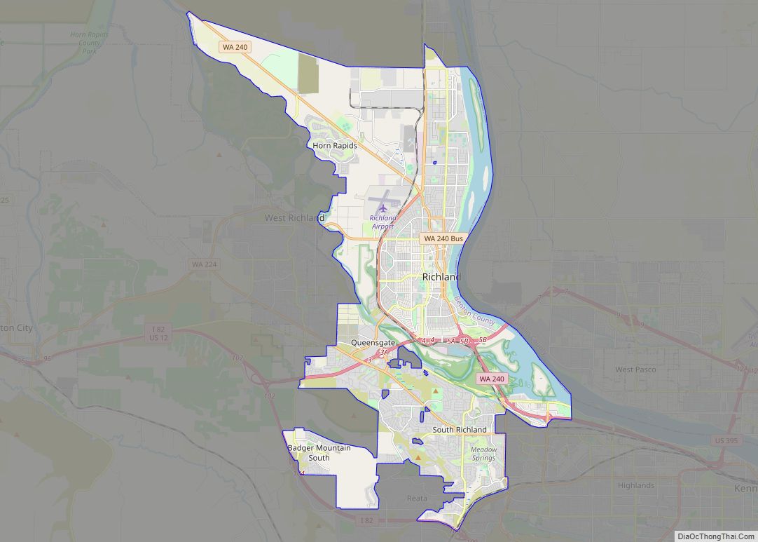
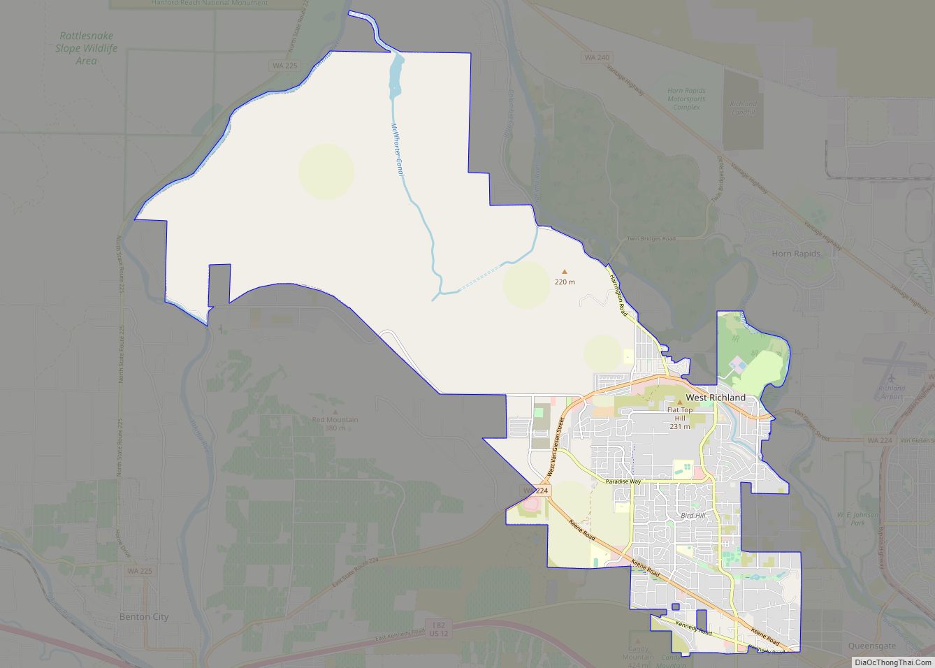
Online Interactive Map
Click on ![]() to view map in "full screen" mode.
to view map in "full screen" mode.
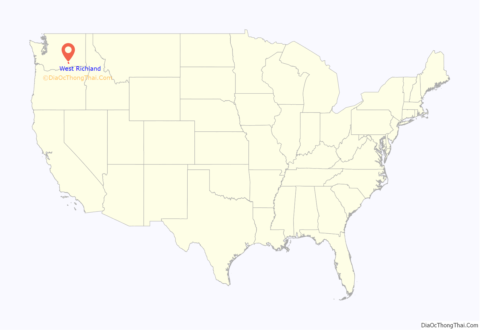
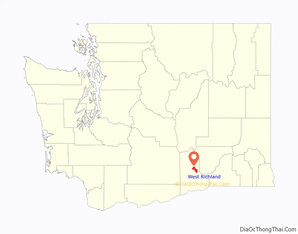
West Richland location map. Where is West Richland city?
History
The original people of the region were the Chemnapum Indians (closely related to the Wanapum tribe), living near the mouth of the Yakima River. Lewis and Clark passed through the area in 1805, and an expedition of the Army Corps of Topographical Engineers headed by Robert E Johnson mapped the Yakima Valley in 1841.
In 1853, a road was authorized by Congress to pass through the Yakima Valley, and passed through present-day West Richland; however, settlement did not properly begin until the late 1870s. The first schoolhouse was built in 1896 on the Van Horn Property just south of what is now Van Giesen Street. Benton County was created in 1905, Richland was incorporated in 1906, and the West Richland area was known as ‘Lower Yakima’.
An irrigation canal from the north side of Horn Rapids Dam was built in 1908 to bring water into Richland.
The Yellowstone Trail, a national highway stretching from Albany, New York, to Seattle, was located through the Yakima Valley in 1917 and 1918. It crossed the Fallon Bridge between Richland and West Richland and then proceeded directly west to Kiona.
During the 1940s, the city of Richland was built, run and maintained by the War Department for the duration of the Manhattan Project. A number of residents had chafed at the government’s regulations, and as a result many of them had moved across the Yakima River, where it was possible to purchase land and own (rather than rent) a house.
Carl Heminger purchased some 80 acres (320,000 m) in 1948, and laid out plans for a city. It was proposed that it be named Heminger City (presumably after himself), but in 1949 the townspeople chose the name Enterprise instead. Heminger moved a mile down the road in protest, and platted a small community there called Heminger City. This was eventually incorporated in the West Richland City limits. When the time came in 1955 to incorporate the town, it was decided to rename to West Richland, taking advantage of the already well-known status of nearby Richland. West Richland was officially incorporated on June 17, 1955, combining the two towns of Heminger City and Enterprise.
In 2008, West Richland was the location of the speed test for the fastest production car in the world (the Aero SSC TT) at over 250 mph (400 km/h).
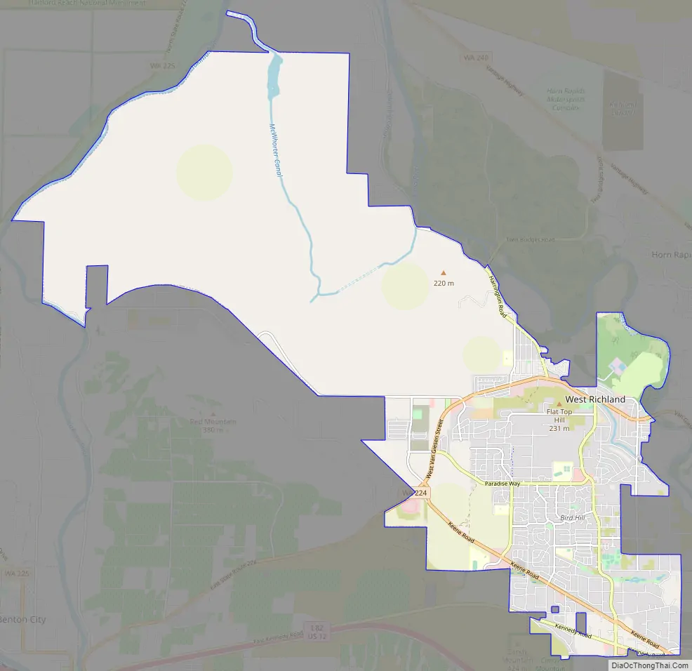
West Richland Road Map
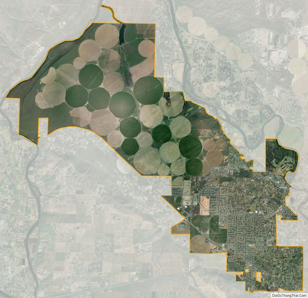
West Richland city Satellite Map
Geography
West Richland is located at 46°17′32″N 119°21′16″W / 46.29222°N 119.35444°W / 46.29222; -119.35444 (46.292085, -119.354417). According to the United States Census Bureau, the city has a total area of 22.12 square miles (57.29 km), of which, 21.92 square miles (56.77 km) is land and 0.20 square miles (0.52 km) is water.
Climate
According to the Köppen Climate Classification system, West Richland has a semi-arid climate, abbreviated “BSk” on climate maps, falling slightly short of being classified as a desert climate.
See also
Map of Washington State and its subdivision:- Adams
- Asotin
- Benton
- Chelan
- Clallam
- Clark
- Columbia
- Cowlitz
- Douglas
- Ferry
- Franklin
- Garfield
- Grant
- Grays Harbor
- Island
- Jefferson
- King
- Kitsap
- Kittitas
- Klickitat
- Lewis
- Lincoln
- Mason
- Okanogan
- Pacific
- Pend Oreille
- Pierce
- San Juan
- Skagit
- Skamania
- Snohomish
- Spokane
- Stevens
- Thurston
- Wahkiakum
- Walla Walla
- Whatcom
- Whitman
- Yakima
- Alabama
- Alaska
- Arizona
- Arkansas
- California
- Colorado
- Connecticut
- Delaware
- District of Columbia
- Florida
- Georgia
- Hawaii
- Idaho
- Illinois
- Indiana
- Iowa
- Kansas
- Kentucky
- Louisiana
- Maine
- Maryland
- Massachusetts
- Michigan
- Minnesota
- Mississippi
- Missouri
- Montana
- Nebraska
- Nevada
- New Hampshire
- New Jersey
- New Mexico
- New York
- North Carolina
- North Dakota
- Ohio
- Oklahoma
- Oregon
- Pennsylvania
- Rhode Island
- South Carolina
- South Dakota
- Tennessee
- Texas
- Utah
- Vermont
- Virginia
- Washington
- West Virginia
- Wisconsin
- Wyoming