El Mirage is a city in Maricopa County, Arizona, United States. As of the 2020 census, the population of the city was 35,805, up from 31,797 in 2010.
| Name: | El Mirage city |
|---|---|
| LSAD Code: | 25 |
| LSAD Description: | city (suffix) |
| State: | Arizona |
| County: | Maricopa County |
| Elevation: | 1,283 ft (391 m) |
| Total Area: | 9.95 sq mi (25.78 km²) |
| Land Area: | 9.90 sq mi (25.63 km²) |
| Water Area: | 0.06 sq mi (0.15 km²) |
| Total Population: | 35,805 |
| Population Density: | 3,617.40/sq mi (1,396.72/km²) |
| ZIP code: | 85335 |
| Area code: | 623 |
| FIPS code: | 0422220 |
| GNISfeature ID: | 24845 |
| Website: | www.cityofelmirage.org |
Online Interactive Map
Click on ![]() to view map in "full screen" mode.
to view map in "full screen" mode.
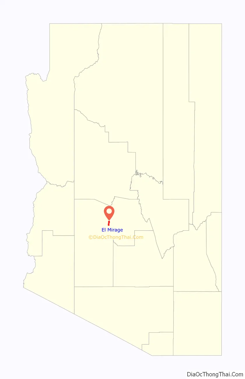
El Mirage location map. Where is El Mirage city?

History
The Hohokam Native American tribe were the earliest inhabitants of the area that is now El Mirage. The ingenious Hohokam developed an elaborate irrigation network using only stone instruments and organized labor. They were commonly known as the “Canal Builders”.
During the early 1930s, migrant farm workers settled in El Mirage on the west bank of the Agua Fria River. Mexican migrants came to El Mirage to help build the canals and harvest the first crops. Farming and agriculture remain central to El Mirage’s economy, but it has witnessed a robust industry growth over the past few decades, emerging as a diverse urban community.
The city became incorporated in 1951, and has continued to grow since.
El Mirage Road Map
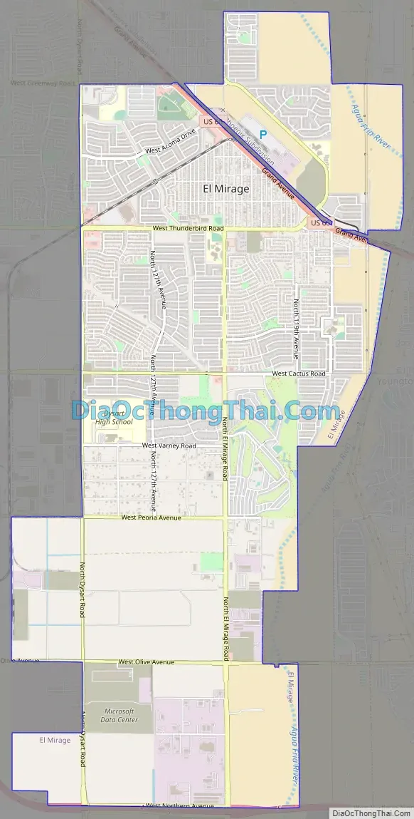
El Mirage city Satellite Map

Geography
El Mirage is located along the Agua Fria River and U.S. Route 60 within the northwestern part of the Phoenix metropolitan area. It is bordered to the east by Youngtown, to the south by Glendale, to the northwest by Surprise, and to the northeast by unincorporated Sun City. Downtown Phoenix is 19 miles (31 km) to the southeast via US 60.
According to the United States Census Bureau, the city has a total area of 9.95 square miles (25.8 km), of which 0.06 square miles (0.16 km), or 0.56%, are water.
Climate
See also
Map of Arizona State and its subdivision: Map of other states:- Alabama
- Alaska
- Arizona
- Arkansas
- California
- Colorado
- Connecticut
- Delaware
- District of Columbia
- Florida
- Georgia
- Hawaii
- Idaho
- Illinois
- Indiana
- Iowa
- Kansas
- Kentucky
- Louisiana
- Maine
- Maryland
- Massachusetts
- Michigan
- Minnesota
- Mississippi
- Missouri
- Montana
- Nebraska
- Nevada
- New Hampshire
- New Jersey
- New Mexico
- New York
- North Carolina
- North Dakota
- Ohio
- Oklahoma
- Oregon
- Pennsylvania
- Rhode Island
- South Carolina
- South Dakota
- Tennessee
- Texas
- Utah
- Vermont
- Virginia
- Washington
- West Virginia
- Wisconsin
- Wyoming


