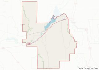
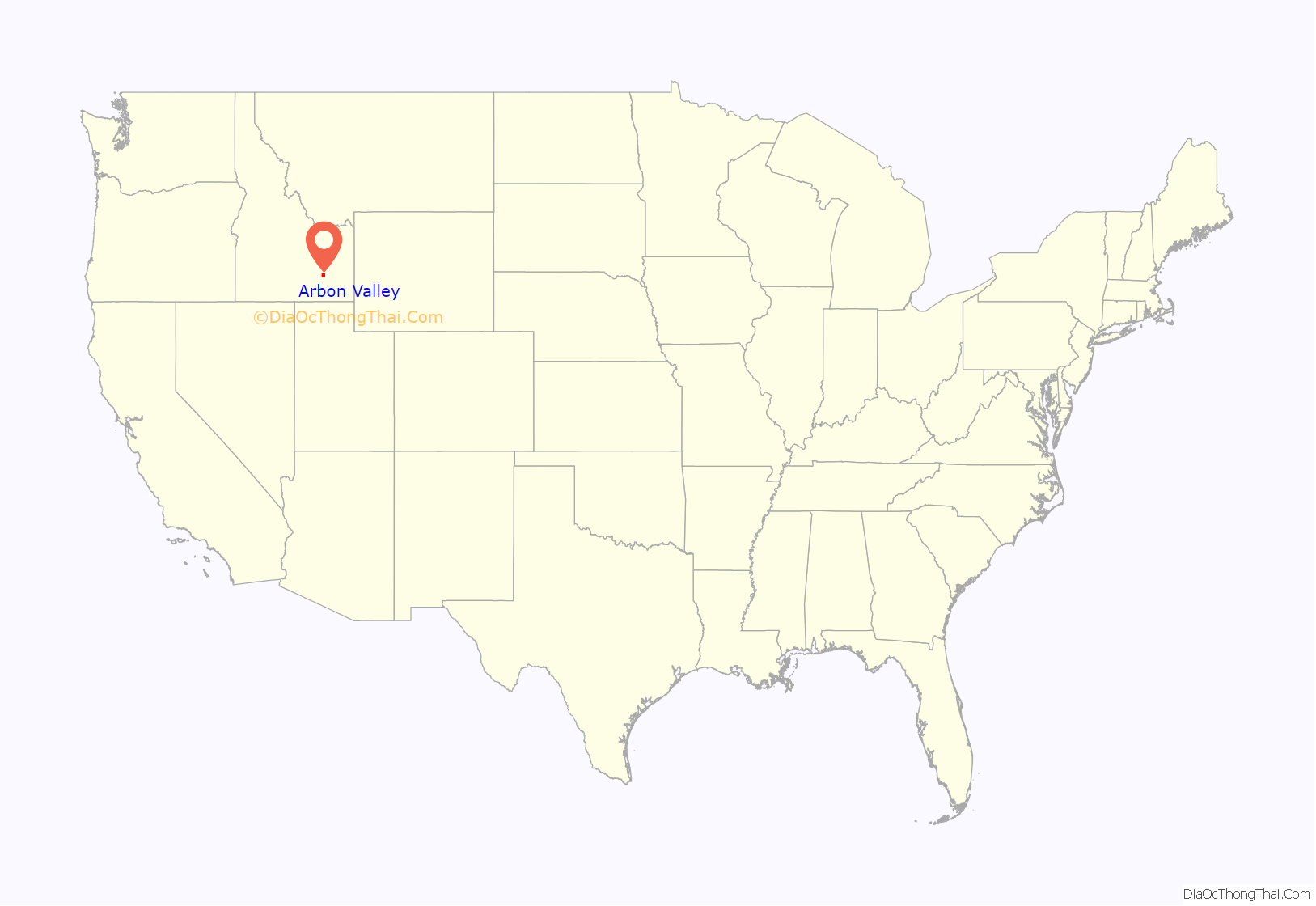
Arbon Valley is a census-designated place (CDP) in Power County, Idaho, in the United States. As of the 2010 census, the CDP population was 599. It lies within the Fort Hall Indian Reservation, just west of the city of Pocatello.
| Name: | Arbon Valley CDP |
|---|---|
| LSAD Code: | 57 |
| LSAD Description: | CDP (suffix) |
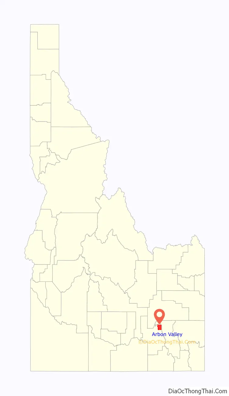
| State: | Idaho |
| County: | Power County |
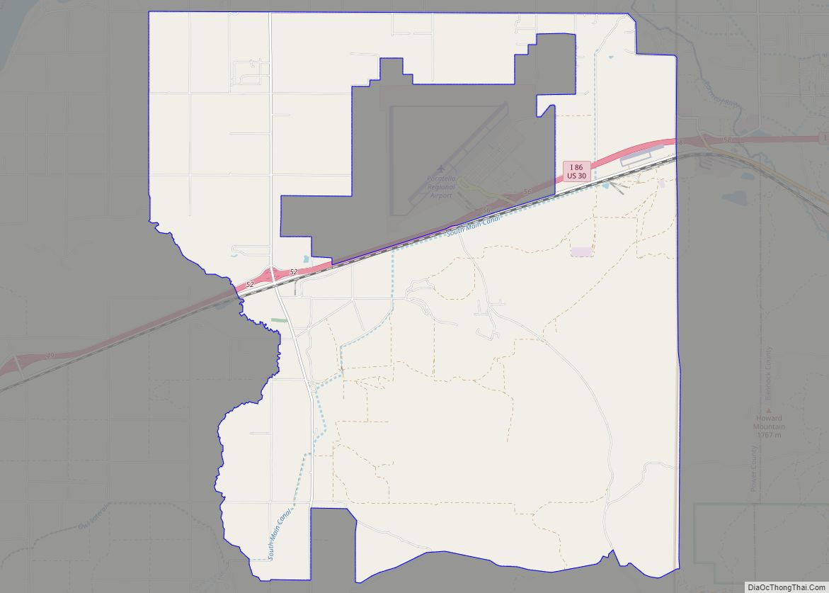
| Total Area: | 34.1 sq mi (88 km²) |
| Land Area: | 34.1 sq mi (88 km²) |
| Water Area: | 0.04 sq mi (0.1 km²) |
| Total Population: | 599 |
| Population Density: | 18/sq mi (6.8/km²) |
| FIPS code: | 1602935 |
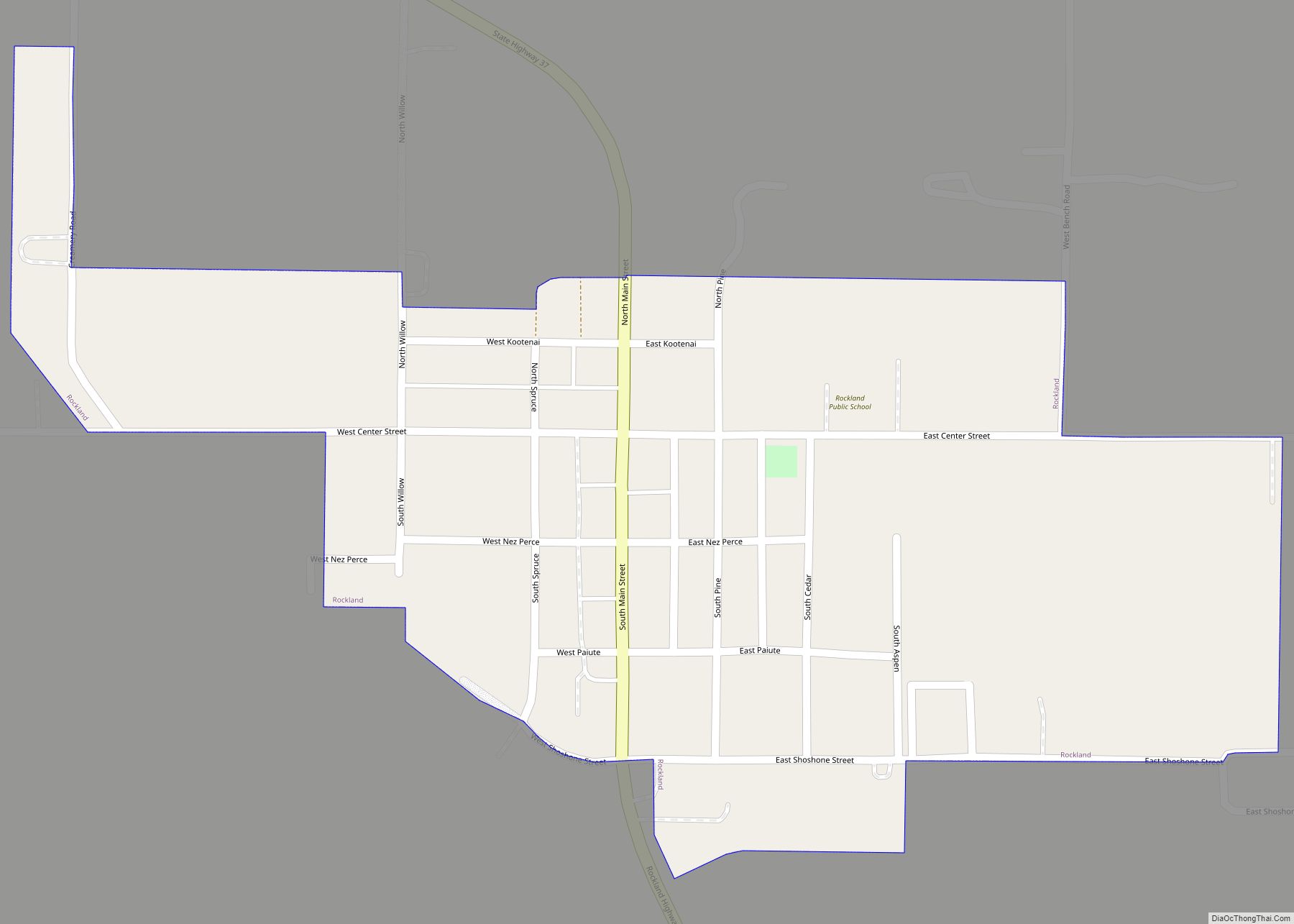
Online Interactive Map
Click on ![]() to view map in "full screen" mode.
to view map in "full screen" mode.
Arbon Valley location map. Where is Arbon Valley CDP?
History
The valley in which Arbon Valley is located was named after George Nicholas Arbon, an early settler.
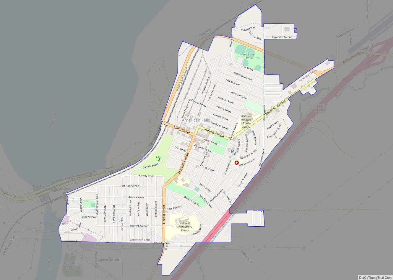
Arbon Valley Road Map
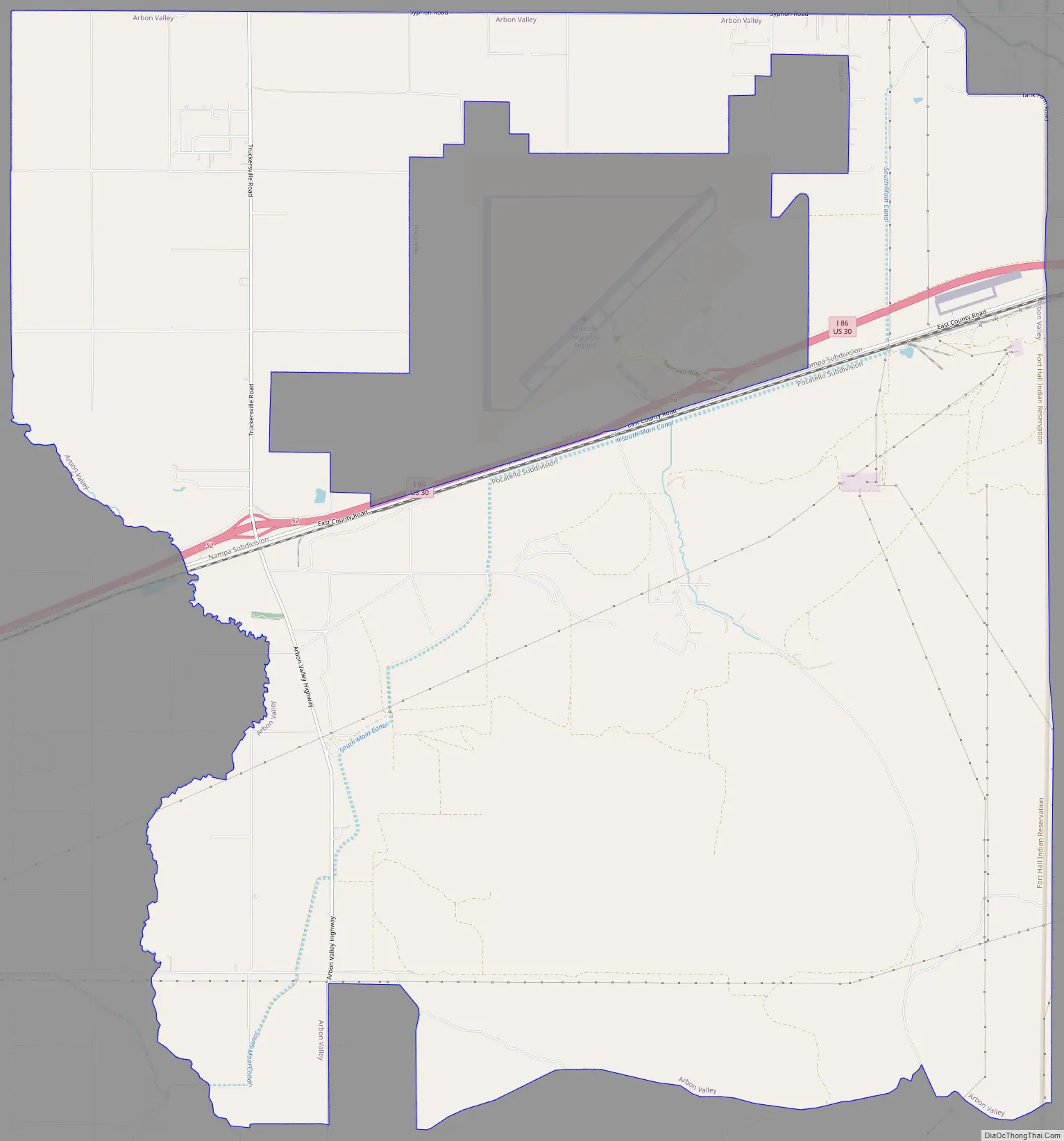
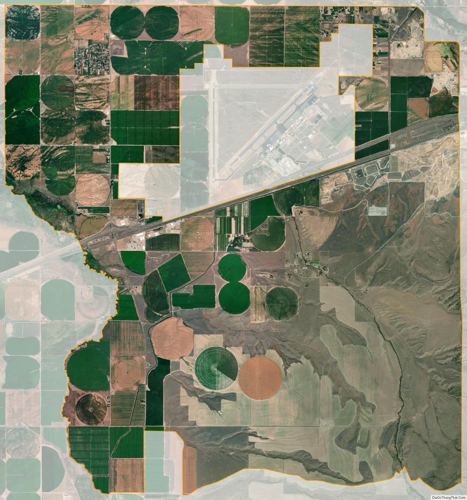
Arbon Valley city Satellite Map
Geography
Arbon Valley is located at 42°53′30″N 112°36′31″W / 42.89167°N 112.60861°W / 42.89167; -112.60861 (42.891629, -112.608711).
According to the United States Census Bureau, the CDP has a total area of 34.1 square miles (88 km), of which, 34.1 square miles (88 km) of it is land and 0.1 square miles (0.26 km) of it (0.18%) is water.
Climate
According to the Köppen Climate Classification system, Arbon Valley has a semi-arid climate, abbreviated “BSk” on climate maps.
See also
Map of Idaho State and its subdivision:- Ada
- Adams
- Bannock
- Bear Lake
- Benewah
- Bingham
- Blaine
- Boise
- Bonner
- Bonneville
- Boundary
- Butte
- Camas
- Canyon
- Caribou
- Cassia
- Clark
- Clearwater
- Custer
- Elmore
- Franklin
- Fremont
- Gem
- Gooding
- Idaho
- Jefferson
- Jerome
- Kootenai
- Latah
- Lemhi
- Lewis
- Lincoln
- Madison
- Minidoka
- Nez Perce
- Oneida
- Owyhee
- Payette
- Power
- Shoshone
- Teton
- Twin Falls
- Valley
- Washington
- Alabama
- Alaska
- Arizona
- Arkansas
- California
- Colorado
- Connecticut
- Delaware
- District of Columbia
- Florida
- Georgia
- Hawaii
- Idaho
- Illinois
- Indiana
- Iowa
- Kansas
- Kentucky
- Louisiana
- Maine
- Maryland
- Massachusetts
- Michigan
- Minnesota
- Mississippi
- Missouri
- Montana
- Nebraska
- Nevada
- New Hampshire
- New Jersey
- New Mexico
- New York
- North Carolina
- North Dakota
- Ohio
- Oklahoma
- Oregon
- Pennsylvania
- Rhode Island
- South Carolina
- South Dakota
- Tennessee
- Texas
- Utah
- Vermont
- Virginia
- Washington
- West Virginia
- Wisconsin
- Wyoming