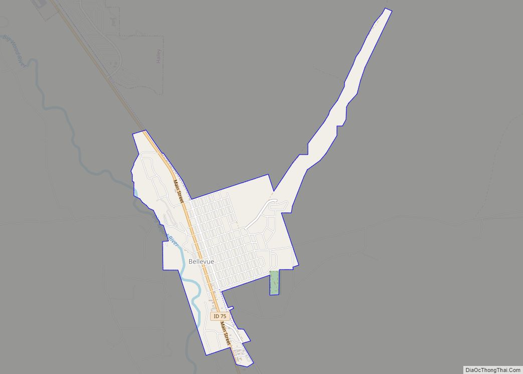
Bellevue is a city in Blaine County in the central part of the U.S. state of Idaho. The population was 2,287 at the 2010 census, up from 1,876 in 2000.
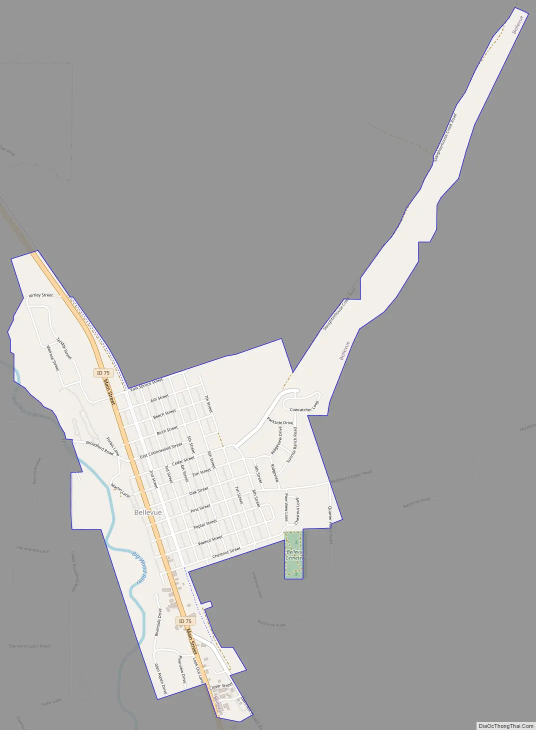
It is located in the Wood River Valley, about 18 miles (29 km) south of the resort area of Ketchum and Sun Valley. The city of Hailey and the Friedman Memorial Airport are a few miles north of Bellevue. The Big Wood River flows near downtown.
The Bellevue Historic District and the Henry Miller House are both listed on the National Register of Historic Places.
| Name: | Bellevue city |
|---|---|
| LSAD Code: | 25 |
| LSAD Description: | city (suffix) |
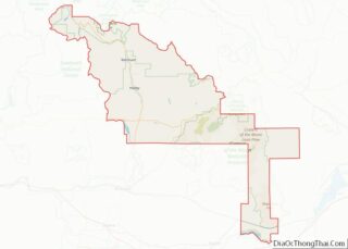
| State: | Idaho |
| County: | Blaine County |
| Elevation: | 5,167 ft (1,575 m) |
| Total Area: | 1.51 sq mi (3.92 km²) |
| Land Area: | 1.47 sq mi (3.81 km²) |
| Water Area: | 0.04 sq mi (0.11 km²) |
| Total Population: | 2,287 |
| Population Density: | 1,668.48/sq mi (644.15/km²) |
| ZIP code: | 83313 |
| FIPS code: | 1606220 |
| GNISfeature ID: | 0397425 |
| Website: | www.bellevueidaho.us |
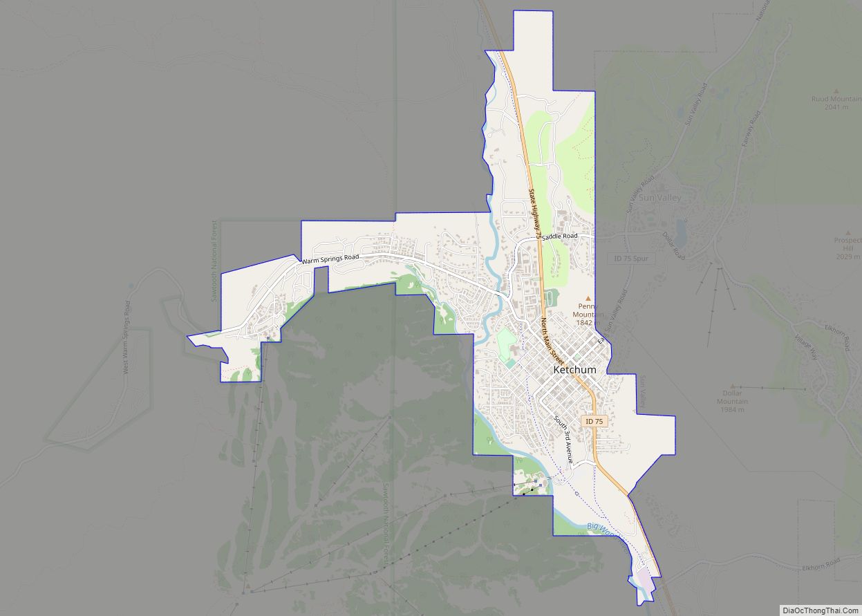
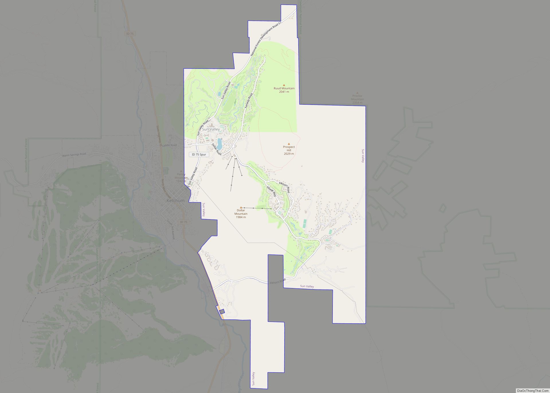
Online Interactive Map
Click on ![]() to view map in "full screen" mode.
to view map in "full screen" mode.
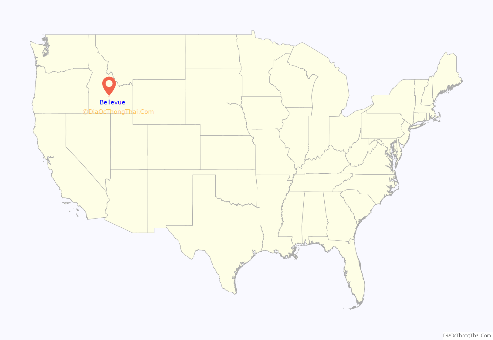
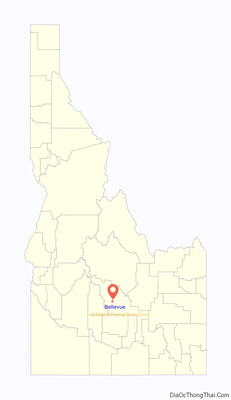
Bellevue location map. Where is Bellevue city?
History
The Bellevue area was explored by fur trader Alexander Ross in 1824.
Bellevue was settled and chartered in 1882. The city is located on a mile-wide plateau noted for its rich soil suitable for fruit growing. The nearby lands are also rich with resources, and Bellevue grew as a mining town. Between 1881 and the 1893 crash of the silver market, the mines near Bellevue produced more than $60 million worth of silver, lead and gold. Some of Bellevue’s mines included Keystone, Palmas, Antelope, Big Camus, Phoenix, Paymaster, Silver Tide, and Monday Mine.
The community soon had two newspapers, The Bellevue Daily Sun and The Bellevue Chronicle. In 1880, the Bellevue M.E. Church was established, as was Bellevue IOOF Lodge No. 9. The International Hotel was built at Main and Oak, and could accommodate 75 guests. A mining smelter was also constructed.
From 1889 to 1895, it was the county seat of the short-lived Logan County.
A devastating fire engulfed the city’s business district in 1905, started when the Seymour Saloon’s bartender lit a match to investigate a gasoline leak. In 1957, windows in Bellevue were shattered and the city was rocked when 8 tons of dynamite and 56 rounds of artillery shells accidentally detonated at a mine west of the city.
The Wood River Rock Festival took place in 1971 in nearby Slaughterhouse Gulch. The festival was plagued by faulty sound equipment, cold weather, inadequate facilities, poor attendance, and grasshoppers. Eight people were arrested for drug possession, and three for drunk driving.
In 2003, Bellevue was the location of the murder of Diane and Alan Scott Johnson. In 2012, Jon Anderson, a former mayor of Bellevue, committed a murder-suicide, killing his ex-wife and then himself.
In 2009, Bellevue’s city clerk, Lacey Ann Loughmiller, was sentenced to 180 days in jail after being convicted of embezzling almost $14,000 from the city.
Bellevue Road Map
Bellevue city Satellite Map
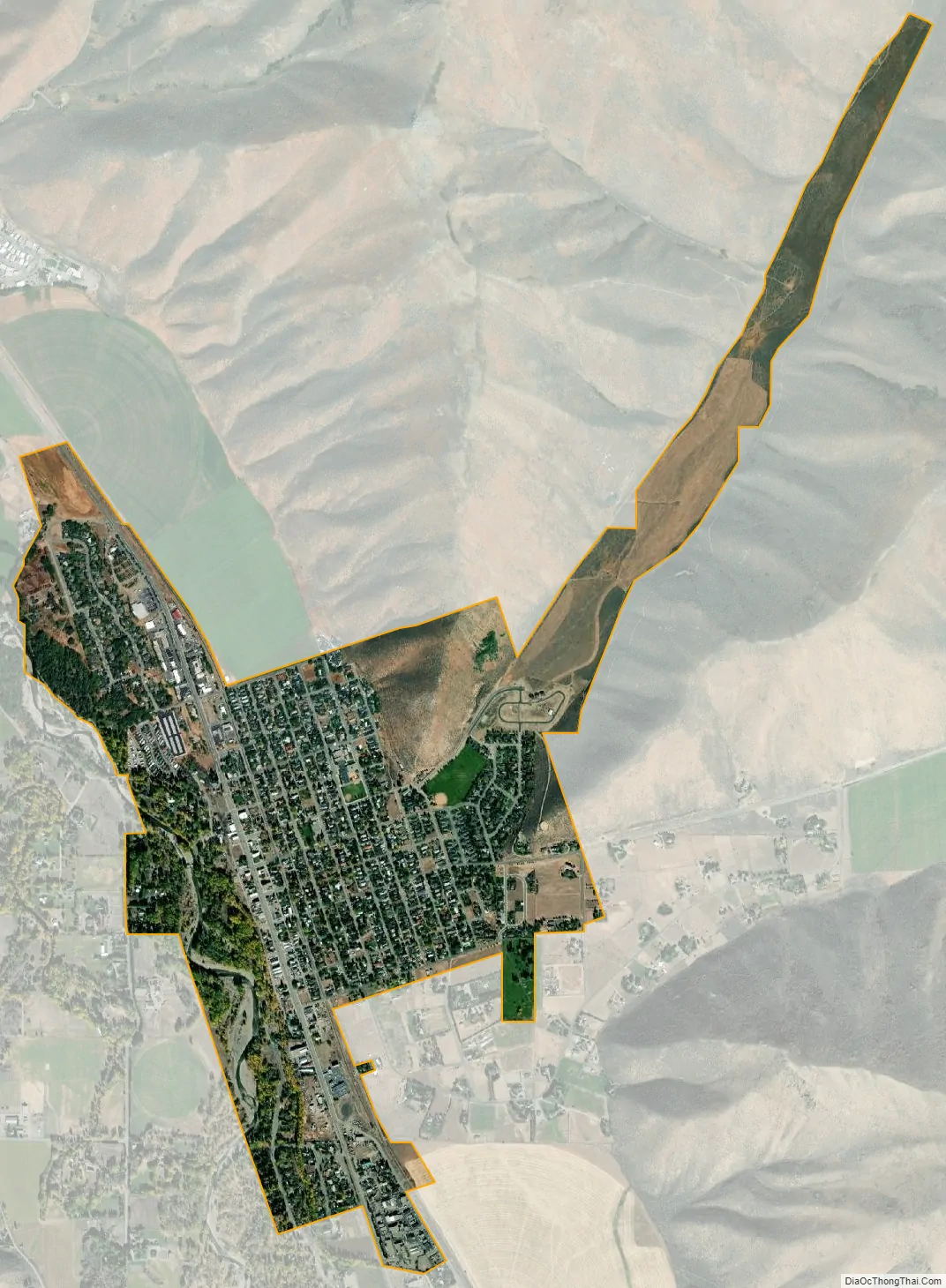
Geography
Bellevue is located at 43°27′54″N 114°15′24″W / 43.46500°N 114.25667°W / 43.46500; -114.25667 (43.465019, -114.256755), at an elevation of 5,170 feet (1,576 m) above sea level.
According to the United States Census Bureau, the city has a total area of 1.51 square miles (3.91 km), of which 1.47 square miles (3.81 km) is land and 0.04 square miles (0.10 km) is water.
Climate
See also
Map of Idaho State and its subdivision:- Ada
- Adams
- Bannock
- Bear Lake
- Benewah
- Bingham
- Blaine
- Boise
- Bonner
- Bonneville
- Boundary
- Butte
- Camas
- Canyon
- Caribou
- Cassia
- Clark
- Clearwater
- Custer
- Elmore
- Franklin
- Fremont
- Gem
- Gooding
- Idaho
- Jefferson
- Jerome
- Kootenai
- Latah
- Lemhi
- Lewis
- Lincoln
- Madison
- Minidoka
- Nez Perce
- Oneida
- Owyhee
- Payette
- Power
- Shoshone
- Teton
- Twin Falls
- Valley
- Washington
- Alabama
- Alaska
- Arizona
- Arkansas
- California
- Colorado
- Connecticut
- Delaware
- District of Columbia
- Florida
- Georgia
- Hawaii
- Idaho
- Illinois
- Indiana
- Iowa
- Kansas
- Kentucky
- Louisiana
- Maine
- Maryland
- Massachusetts
- Michigan
- Minnesota
- Mississippi
- Missouri
- Montana
- Nebraska
- Nevada
- New Hampshire
- New Jersey
- New Mexico
- New York
- North Carolina
- North Dakota
- Ohio
- Oklahoma
- Oregon
- Pennsylvania
- Rhode Island
- South Carolina
- South Dakota
- Tennessee
- Texas
- Utah
- Vermont
- Virginia
- Washington
- West Virginia
- Wisconsin
- Wyoming