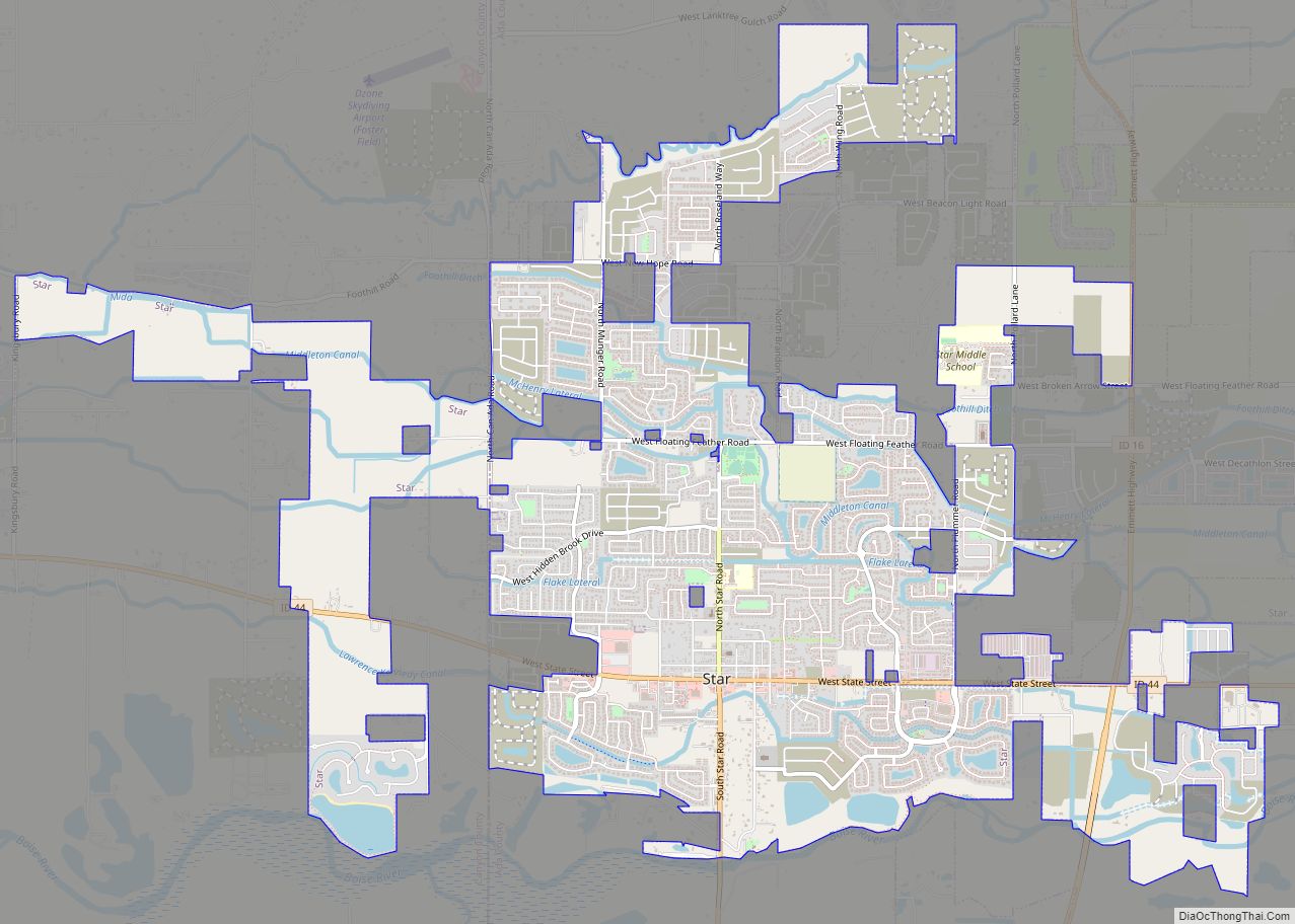
| Name: | Boise City city |
|---|---|
| LSAD Code: | 25 |
| LSAD Description: | city (suffix) |
| State: | Idaho |
| County: | Ada County |
| FIPS code: | 1608830 |
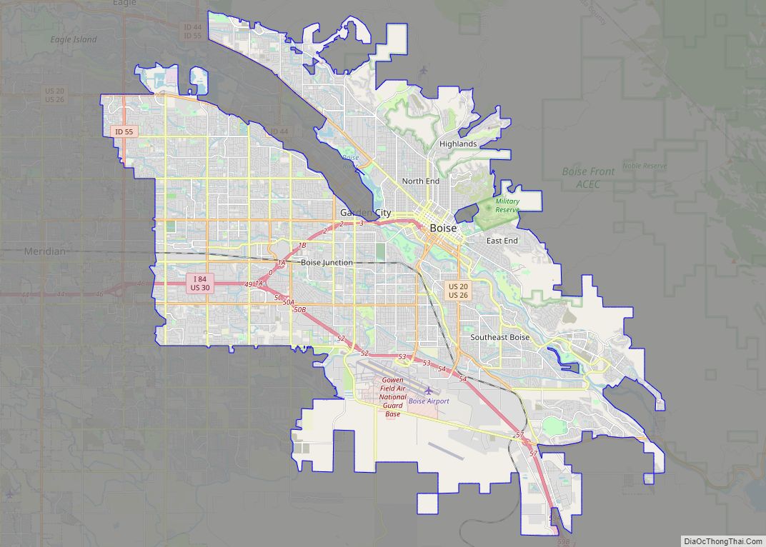
Discover the city of Boise, Idaho with our comprehensive map collection. We offer a range of maps that feature the city’s highway/road map, things to do, and a reference map of Boise. Our interactive map allows you to explore the city in detail, including its many amenities. Boise is the capital of Idaho and is the most populous city in the state. It is also nicknamed “The City of Trees” due to its canopy density and variety of trees in the city. The Boise Greenbelt runs through the heart of the city with a tree-lined pathway and scenic views. The city offers lots of amenities such as museums, libraries, parks, and restaurants. With a population of around 230,000 residents, it is also one of America’s fastest-growing urban areas. Get to know the best places to visit in Boise, Idaho with our Boise map collection.
Online Interactive Map
Click on ![]() to view map in "full screen" mode.
to view map in "full screen" mode.
Explore the city with this interactive map that displays everything from attractions and parks to businesses, restaurants, and places to stay. With information on every street, you’ll have everything you need when planning your next Boise adventure. Use our interactive map to find the best places to visit, stay and eat in Boise.
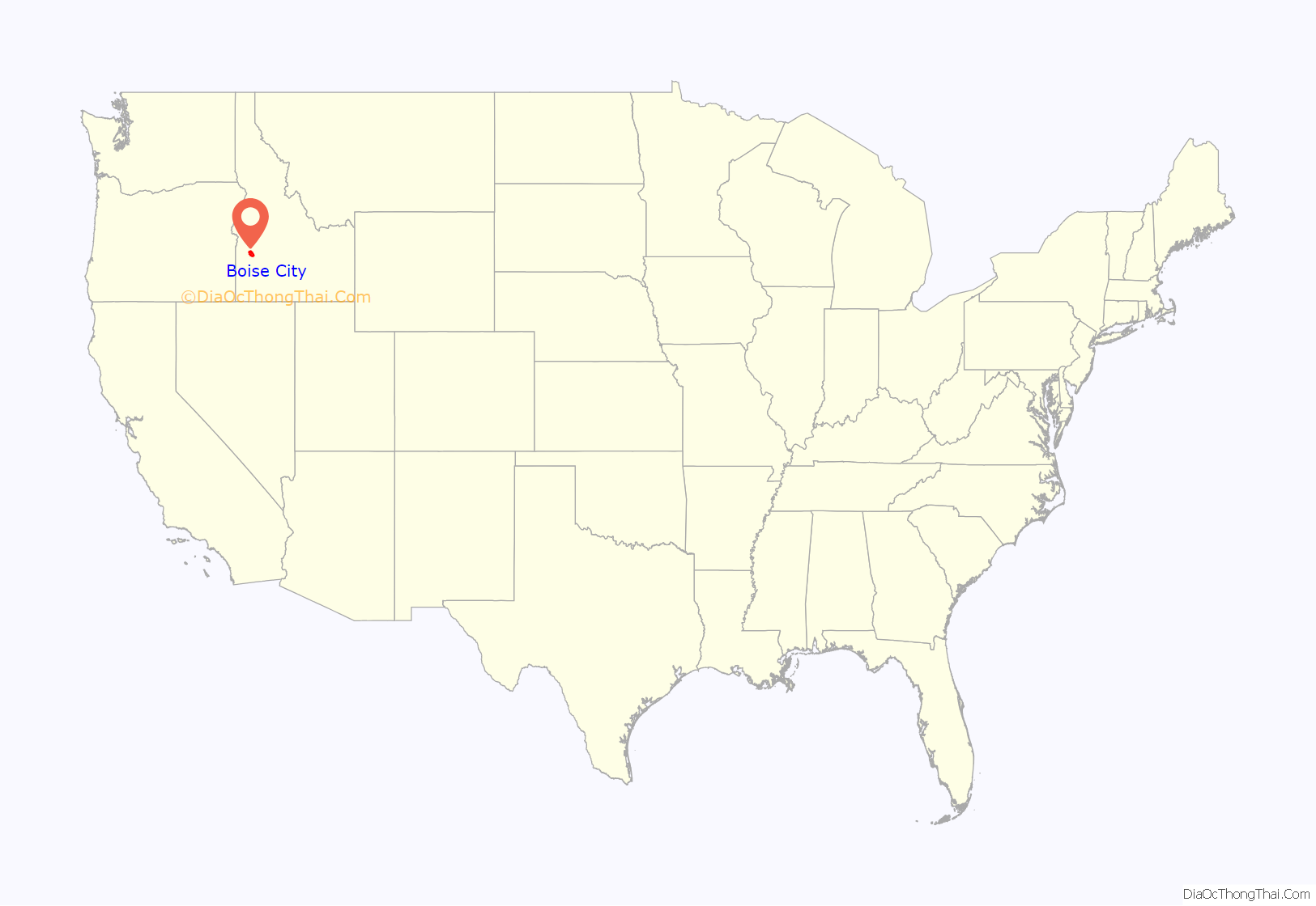
Boise City location map. Where is Boise City city?
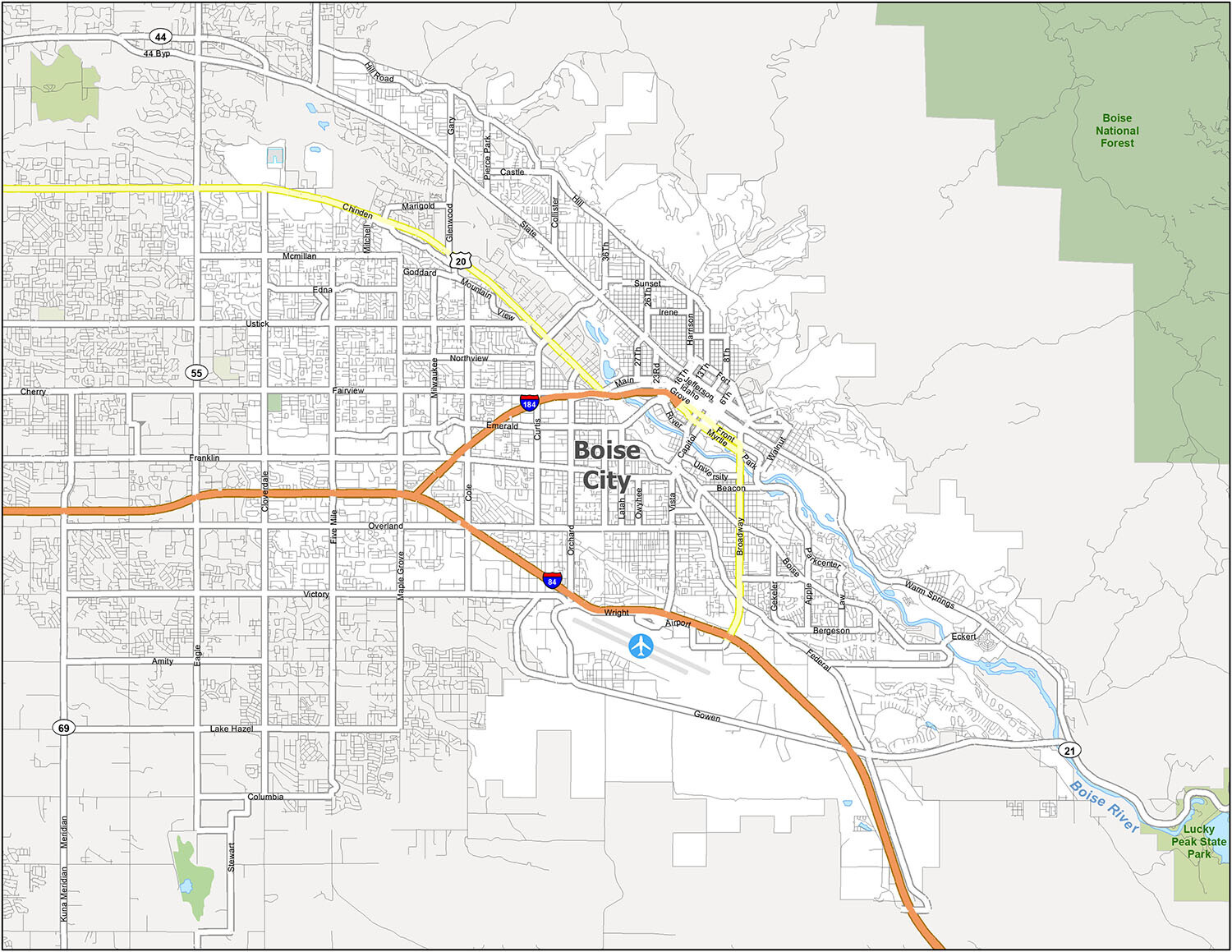
Boise City Road Map
Whether you’re heading out for a day trip or a week-long vacation, this printable map will be your guide to the major roads of Boise, Idaho. The two interstate highways that cut through Boise are the I-84 and I-184, while other important roads include US Highways 20, 21, and 55, as well as 27th St, 36th, Boise Ave, Broadway Ave, Chinden Blvd, Eagle Rd, Emerald St, Franklin Rd, Front St, Gekeler Ln, Gowen Rd, Myrtle St, Linden St, Orchard St, Overland Rd, Parkcenter Blvd, Northview St, Rose Hill St, State St, Vista Ave, and Warm Springs Ave. Boise is becoming a hub for outdoor recreational pursuits with its proximity to nature, so be sure to also check out the Idaho road map for more information.
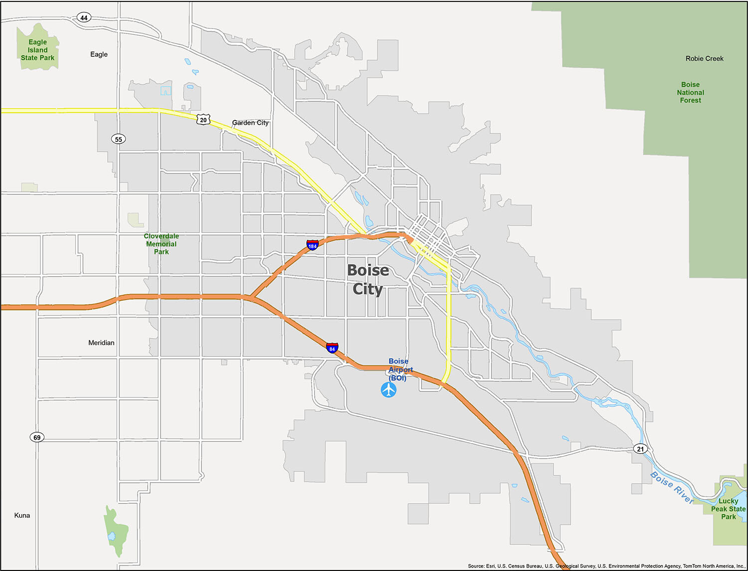
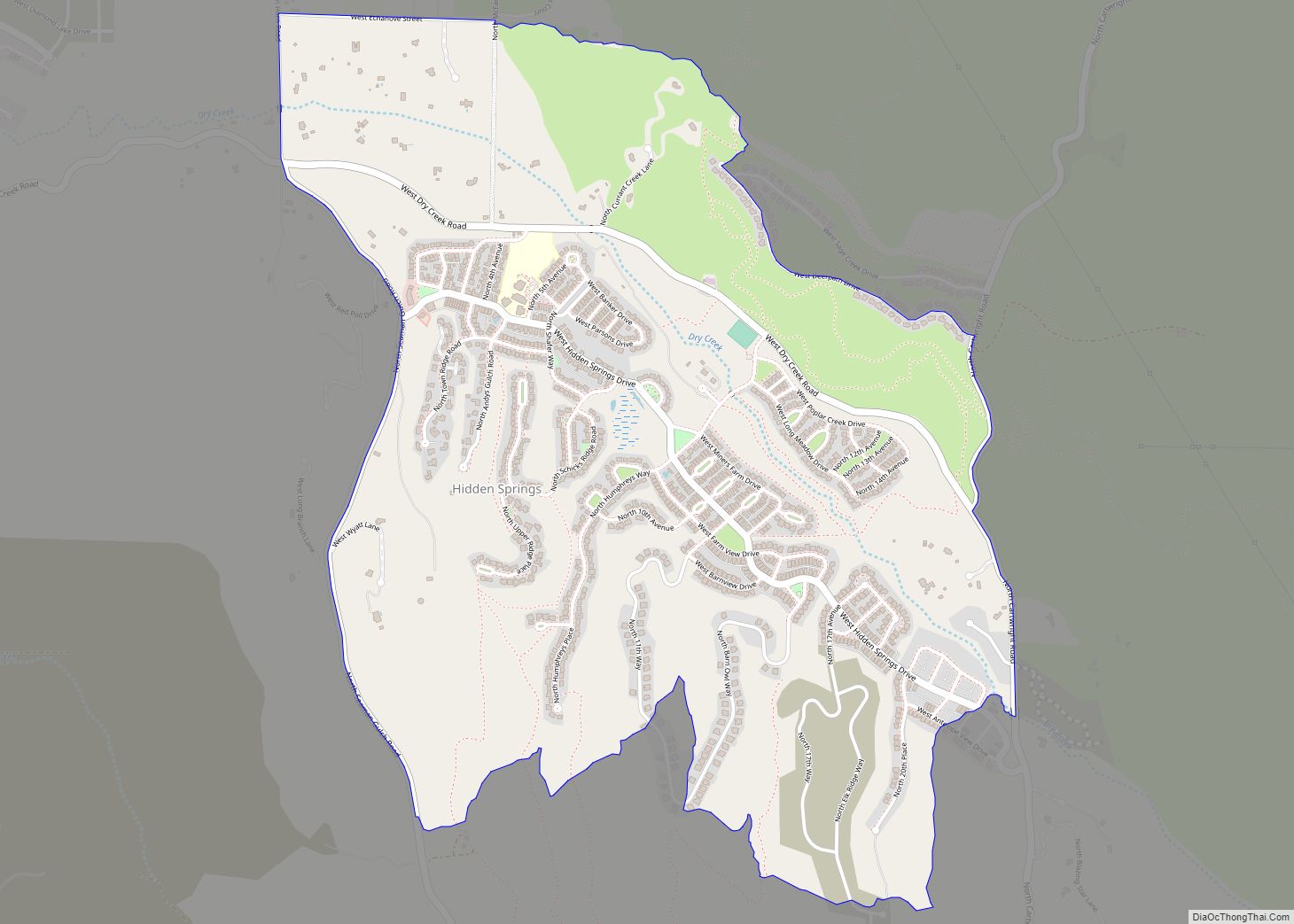
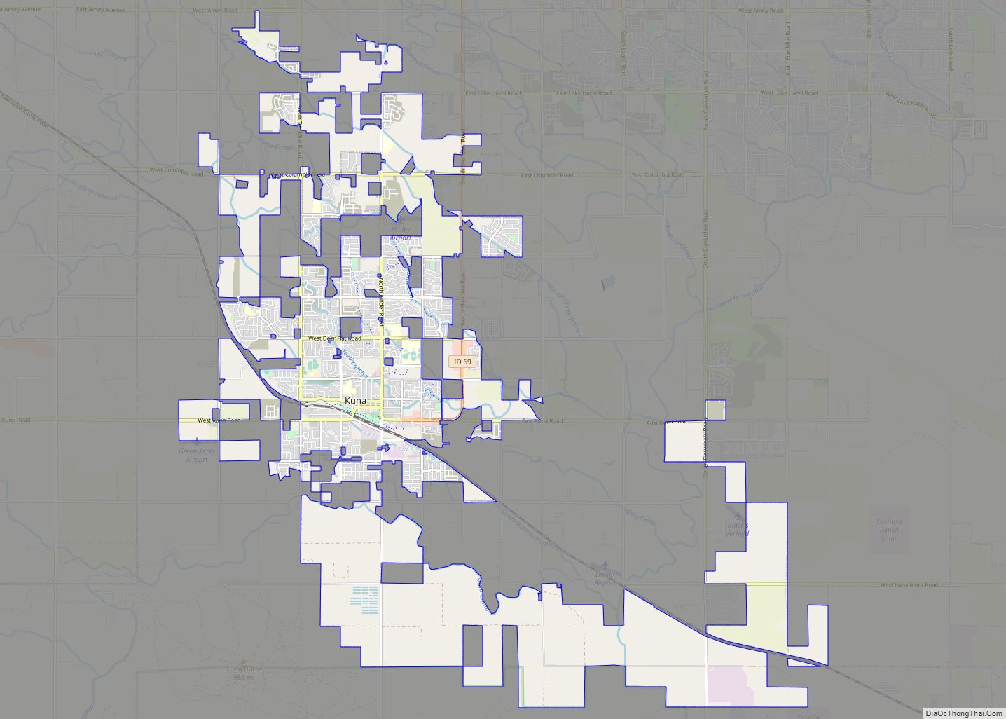
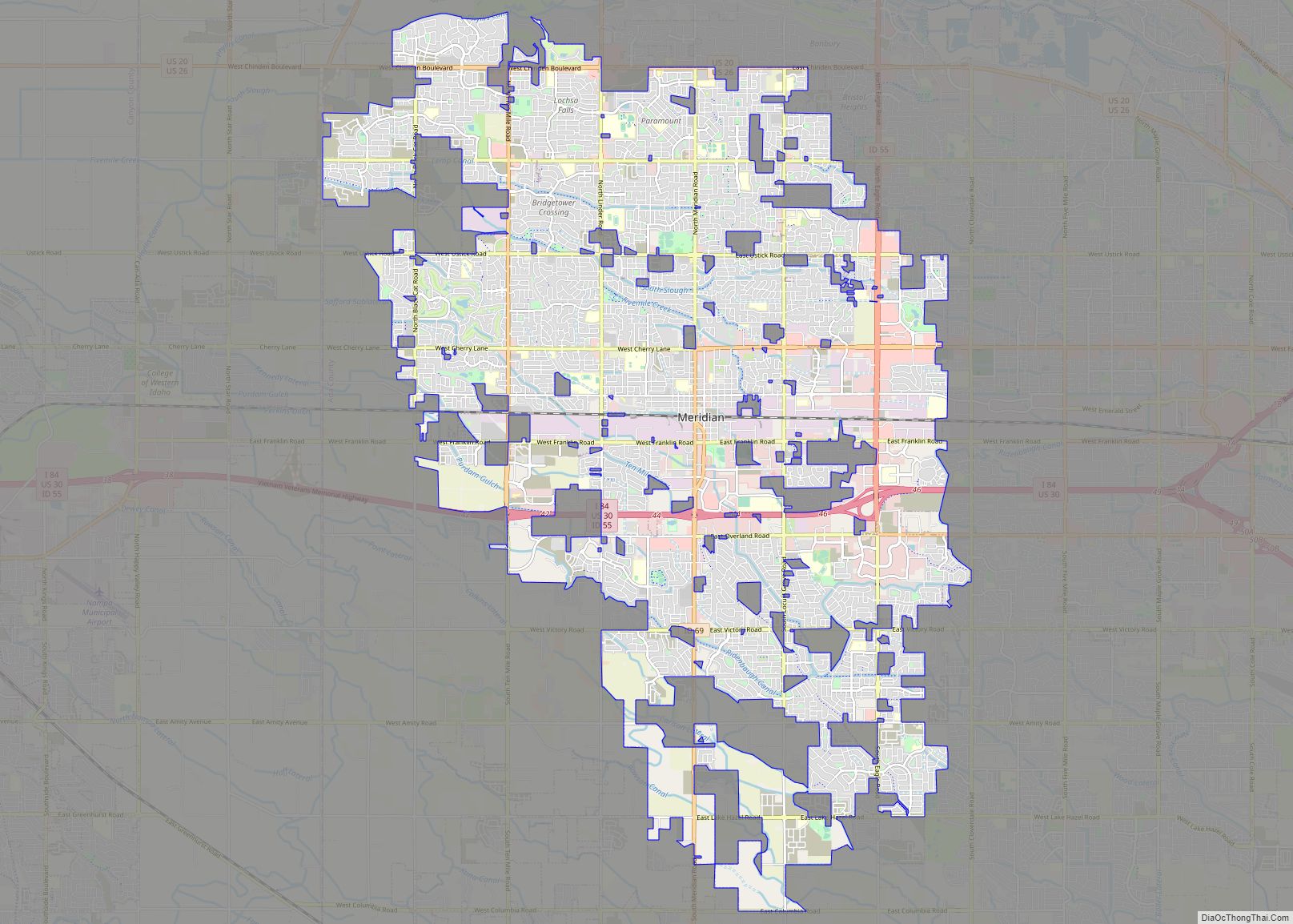
Boise, Idaho is the perfect place to be for those looking for a vibrant city with a great cost of living and a stunning natural landscape. With over 200 days of sunshine annually, Boise is a haven for outdoor enthusiasts, entrepreneurs, and retirees alike. The city is home to many major software and hardware development companies, and is the perfect place to capture that perfect photo opportunity. Boise Airport (BOI) is the city’s main airport, and the surrounding cities and Census-Designated Places (CDP) include Boise City, Eagle, Garden City, Kuna, Meridian, and Robie Creek.
10 things to do in Boise City city
Boise is an incredible city to explore, with something for everyone. From the breathtaking Boise River Greenbelt to the historic Old Idaho Penitentiary Site, the city is full of adventure and beauty. The Julia Davis Park and World Center for Birds of Prey are great places to explore the outdoors, while the Idaho State Capitol Building and Idaho Anne Frank Human Rights Memorial are perfect for those looking to learn more about the city’s rich history. For a bit of fun, the Idaho Botanical Garden, Zoo Boise, and Boise Depot are great options. Finally, Bogus Basin is a great place to ski or snowboard in the winter months.
Boise is a city of beauty and history, and it’s easy to see why so many people are drawn to this special place. From the stunning Boise River Greenbelt to the fascinating Old Idaho Penitentiary Site, there is something for everyone to enjoy. From the Idaho State Capitol Building to the Idaho Anne Frank Human Rights Memorial, visitors can explore the city’s past. For outdoor activities, the Julia Davis Park, World Center for Birds of Prey, Idaho Botanical Garden, Zoo Boise, and Bogus Basin offer a variety of options. Finally, the Boise Depot is a great place to experience the city’s past and present. Whether it’s a day trip or an extended stay, Boise has something for everyone.
Boise City city Satellite Map
See also
Map of Idaho State and its subdivision:- Ada
- Adams
- Bannock
- Bear Lake
- Benewah
- Bingham
- Blaine
- Boise
- Bonner
- Bonneville
- Boundary
- Butte
- Camas
- Canyon
- Caribou
- Cassia
- Clark
- Clearwater
- Custer
- Elmore
- Franklin
- Fremont
- Gem
- Gooding
- Idaho
- Jefferson
- Jerome
- Kootenai
- Latah
- Lemhi
- Lewis
- Lincoln
- Madison
- Minidoka
- Nez Perce
- Oneida
- Owyhee
- Payette
- Power
- Shoshone
- Teton
- Twin Falls
- Valley
- Washington
- Alabama
- Alaska
- Arizona
- Arkansas
- California
- Colorado
- Connecticut
- Delaware
- District of Columbia
- Florida
- Georgia
- Hawaii
- Idaho
- Illinois
- Indiana
- Iowa
- Kansas
- Kentucky
- Louisiana
- Maine
- Maryland
- Massachusetts
- Michigan
- Minnesota
- Mississippi
- Missouri
- Montana
- Nebraska
- Nevada
- New Hampshire
- New Jersey
- New Mexico
- New York
- North Carolina
- North Dakota
- Ohio
- Oklahoma
- Oregon
- Pennsylvania
- Rhode Island
- South Carolina
- South Dakota
- Tennessee
- Texas
- Utah
- Vermont
- Virginia
- Washington
- West Virginia
- Wisconsin
- Wyoming
