Carey is a city in Blaine County, Idaho, United States. The population was 604 at the 2010 census. Carey is primarily an agricultural city and is the location of the Blaine County Fairgrounds. Nearby recreational destinations include the Craters of the Moon National Monument, Carey Lake, Silver Creek and the Little Wood River. Further west is the Big Wood River Valley, leading to the Sun Valley resort. In recent years, the city of Carey has experienced significant growth.
| Name: | Carey city |
|---|---|
| LSAD Code: | 25 |
| LSAD Description: | city (suffix) |
| State: | Idaho |
| County: | Blaine County |
| Elevation: | 4,783 ft (1,458 m) |
| Total Area: | 3.45 sq mi (8.94 km²) |
| Land Area: | 3.45 sq mi (8.94 km²) |
| Water Area: | 0.00 sq mi (0.01 km²) |
| Total Population: | 604 |
| Population Density: | 186.96/sq mi (72.18/km²) |
| ZIP code: | 83320 |
| Area code: | 208, 986 |
| FIPS code: | 1612790 |
| GNISfeature ID: | 0396234 |
| Website: | cityofcarey.org |
Online Interactive Map
Click on ![]() to view map in "full screen" mode.
to view map in "full screen" mode.
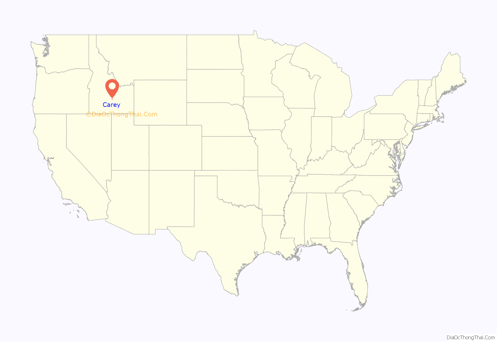
Carey location map. Where is Carey city?
History
Carey was founded ca. 1884 by a colony of members of the Church of Jesus Christ of Latter-day Saints. The community was named after James Carey, a pioneer settler.
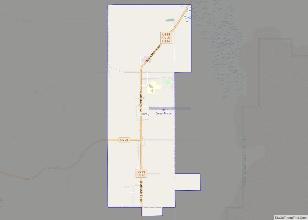
Carey Road Map
Carey city Satellite Map
Geography
Carey is located in southern Blaine County along the Little Wood River and northwest of the Snake River lava fields. U. S. highways 20, 26, and 93 pass through the community.
According to the United States Census Bureau, the city has a total area of 3.31 square miles (8.57 km), all of it land.
Climate
This climatic region is typified by large seasonal temperature differences, with warm to hot (and often humid) summers and cold (sometimes severely cold) winters. According to the Köppen Climate Classification system, Carey has a humid continental climate, abbreviated “Dfb” on climate maps.
See also
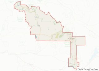
Map of Idaho State and its subdivision:- Ada
- Adams
- Bannock
- Bear Lake
- Benewah
- Bingham
- Blaine
- Boise
- Bonner
- Bonneville
- Boundary
- Butte
- Camas
- Canyon
- Caribou
- Cassia
- Clark
- Clearwater
- Custer
- Elmore
- Franklin
- Fremont
- Gem
- Gooding
- Idaho
- Jefferson
- Jerome
- Kootenai
- Latah
- Lemhi
- Lewis
- Lincoln
- Madison
- Minidoka
- Nez Perce
- Oneida
- Owyhee
- Payette
- Power
- Shoshone
- Teton
- Twin Falls
- Valley
- Washington
- Alabama
- Alaska
- Arizona
- Arkansas
- California
- Colorado
- Connecticut
- Delaware
- District of Columbia
- Florida
- Georgia
- Hawaii
- Idaho
- Illinois
- Indiana
- Iowa
- Kansas
- Kentucky
- Louisiana
- Maine
- Maryland
- Massachusetts
- Michigan
- Minnesota
- Mississippi
- Missouri
- Montana
- Nebraska
- Nevada
- New Hampshire
- New Jersey
- New Mexico
- New York
- North Carolina
- North Dakota
- Ohio
- Oklahoma
- Oregon
- Pennsylvania
- Rhode Island
- South Carolina
- South Dakota
- Tennessee
- Texas
- Utah
- Vermont
- Virginia
- Washington
- West Virginia
- Wisconsin
- Wyoming
