Cascade is a rural city in and the county seat of Valley County, Idaho, United States. The population was 939 at the 2010 census, down from 997 in 2000.
| Name: | Cascade city |
|---|---|
| LSAD Code: | 25 |
| LSAD Description: | city (suffix) |
| State: | Idaho |
| County: | Valley County |
| Elevation: | 4,760 ft (1,450 m) |
| Total Area: | 4.71 sq mi (12.19 km²) |
| Land Area: | 4.12 sq mi (10.68 km²) |
| Water Area: | 0.58 sq mi (1.51 km²) |
| Total Population: | 939 |
| Population Density: | 248.55/sq mi (95.97/km²) |
| ZIP code: | 83611 |
| Area code: | 208, 986 |
| FIPS code: | 1613150 |
| GNISfeature ID: | 0396241 |
| Website: | cascadeid.us |
Online Interactive Map
Click on ![]() to view map in "full screen" mode.
to view map in "full screen" mode.
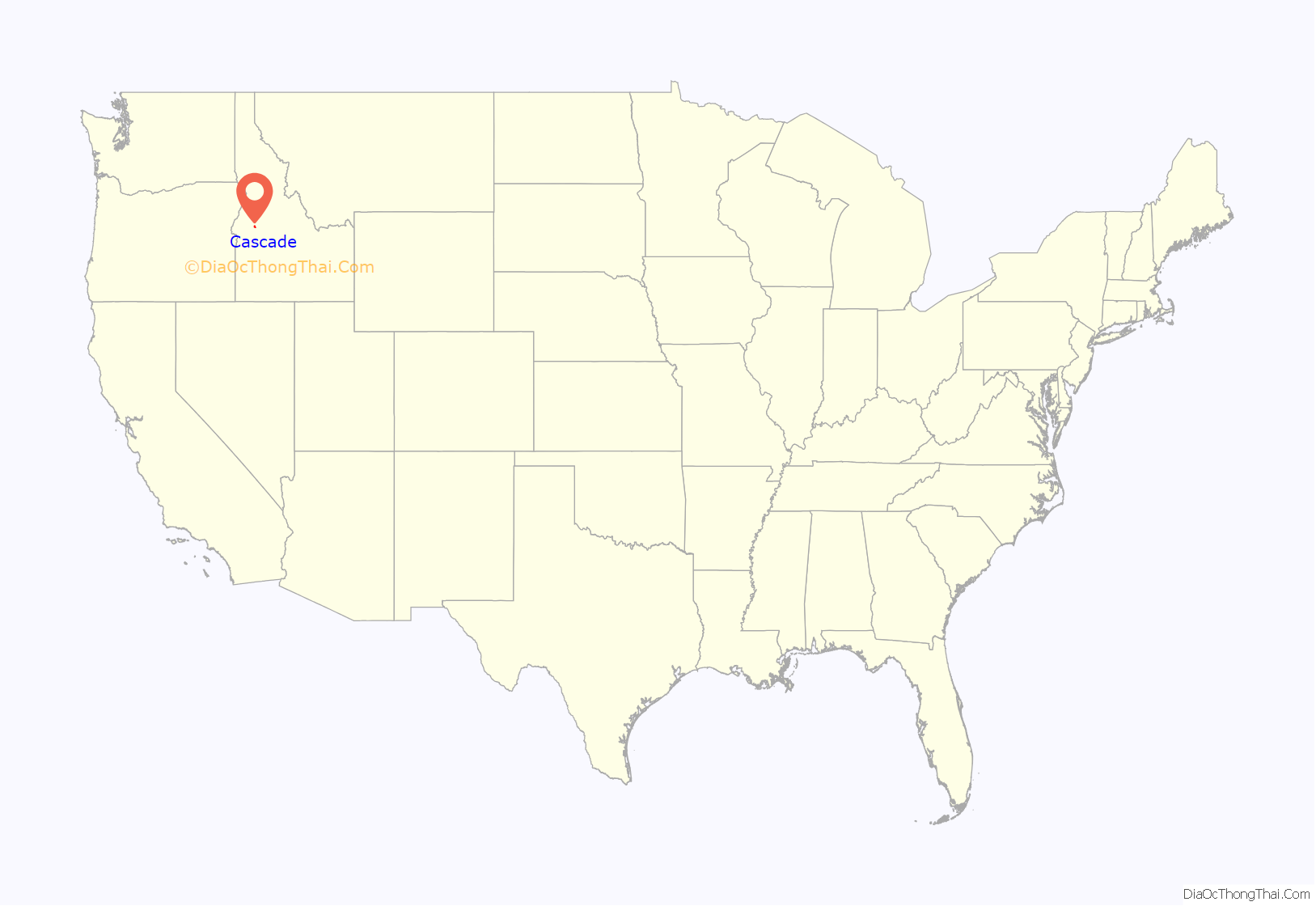
Cascade location map. Where is Cascade city?
History
The Cascade Dam across the Payette River was completed in 1948, and is located in the north end of the city. The dam created Cascade Reservoir along the west side of the city. With the introduction of nearby Tamarack Resort in 2004, the name was officially changed to Lake Cascade for marketing reasons.
Cascade was the home of a sizable Boise Cascade sawmill, which closed in May 2001.
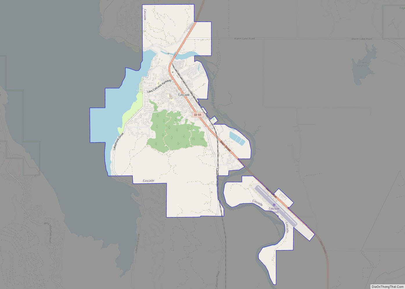
Cascade Road Map
Cascade city Satellite Map
Geography
According to the United States Census Bureau, the city has a total area of 4.86 square miles (12.59 km), of which, 4.17 square miles (10.80 km) is land and 0.69 square miles (1.79 km) is water.
Minor earthquake
A minor earthquake here in 1977 measured 4.5 on the Richter scale and lasted over a minute; felt across the region, it was centered near Cascade and occurred in the early hours of Sunday, November 27.
Climate
Cascade experiences a humid continental climate (Köppen abbreviation Dsb) with long, cold, snowy winters and short, warm, dry summers.
See also
Map of Idaho State and its subdivision:- Ada
- Adams
- Bannock
- Bear Lake
- Benewah
- Bingham
- Blaine
- Boise
- Bonner
- Bonneville
- Boundary
- Butte
- Camas
- Canyon
- Caribou
- Cassia
- Clark
- Clearwater
- Custer
- Elmore
- Franklin
- Fremont
- Gem
- Gooding
- Idaho
- Jefferson
- Jerome
- Kootenai
- Latah
- Lemhi
- Lewis
- Lincoln
- Madison
- Minidoka
- Nez Perce
- Oneida
- Owyhee
- Payette
- Power
- Shoshone
- Teton
- Twin Falls
- Valley
- Washington
- Alabama
- Alaska
- Arizona
- Arkansas
- California
- Colorado
- Connecticut
- Delaware
- District of Columbia
- Florida
- Georgia
- Hawaii
- Idaho
- Illinois
- Indiana
- Iowa
- Kansas
- Kentucky
- Louisiana
- Maine
- Maryland
- Massachusetts
- Michigan
- Minnesota
- Mississippi
- Missouri
- Montana
- Nebraska
- Nevada
- New Hampshire
- New Jersey
- New Mexico
- New York
- North Carolina
- North Dakota
- Ohio
- Oklahoma
- Oregon
- Pennsylvania
- Rhode Island
- South Carolina
- South Dakota
- Tennessee
- Texas
- Utah
- Vermont
- Virginia
- Washington
- West Virginia
- Wisconsin
- Wyoming
