Donnelly is a city in rural Valley County, Idaho, United States. The population was 152 at the 2010 census.
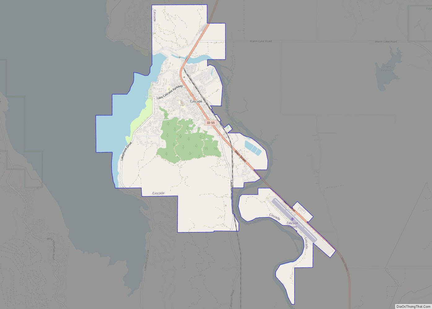
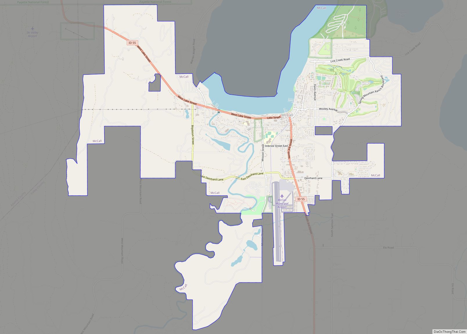
Donnelly is in the Long Valley of Valley County, on the northeast shore of Lake Cascade (Cascade Reservoir), between the two major cities in the county. McCall is 13 miles (21 km) north, and Cascade is 16 miles (26 km) to the south, via Highway 55. Tamarack Resort is across the reservoir to the southwest. The City of Donnelly, named after a prominent railroad man, was incorporated in 1914.
Donnelly is the world headquarters of the celebrated Donnelly Show Ski Team which was established in 2008.
| Name: | Donnelly city |
|---|---|
| LSAD Code: | 25 |
| LSAD Description: | city (suffix) |
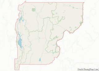
| State: | Idaho |
| County: | Valley County |
| Incorporated: | 1914 |
| Elevation: | 4,865 ft (1,483 m) |
| Total Area: | 0.72 sq mi (1.86 km²) |
| Land Area: | 0.71 sq mi (1.85 km²) |
| Water Area: | 0.00 sq mi (0.01 km²) |
| Total Population: | 152 |
| Population Density: | 305.32/sq mi (117.95/km²) |
| ZIP code: | 83615 |
| Area code: | 208, 986 |
| FIPS code: | 1622330 |
| GNISfeature ID: | 0396410 |
| Website: | www.cityofdonnelly.org |
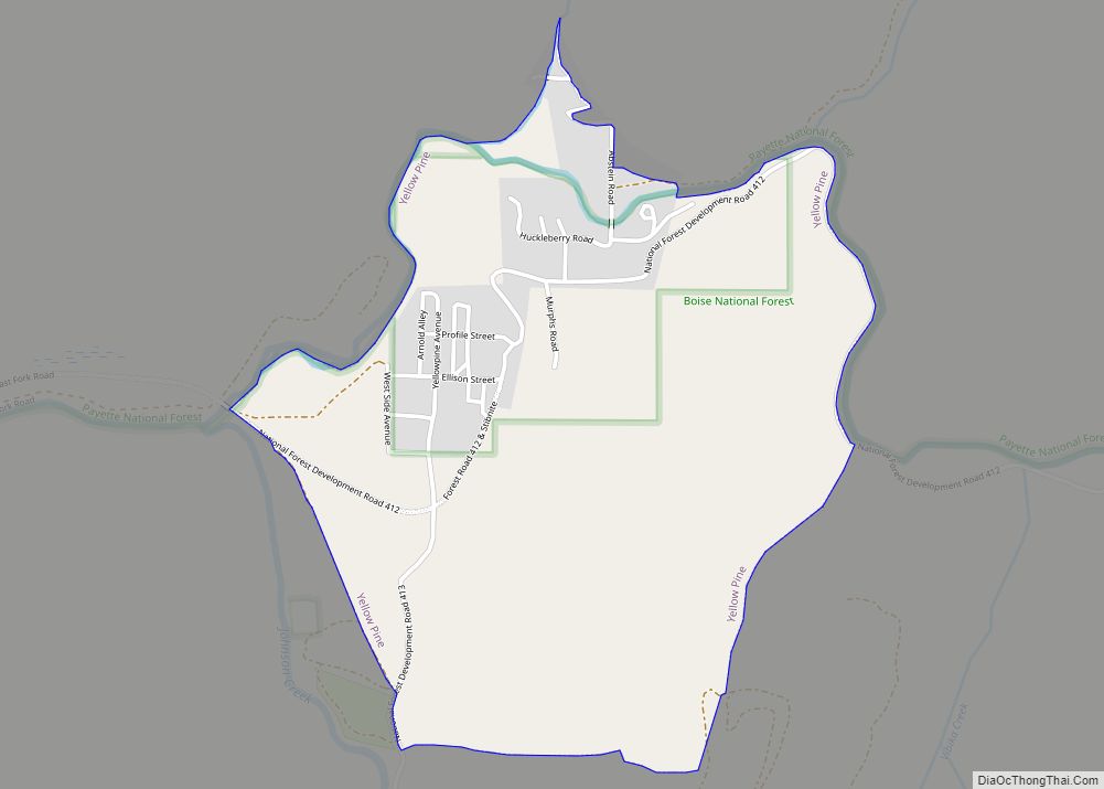
Online Interactive Map
Click on ![]() to view map in "full screen" mode.
to view map in "full screen" mode.
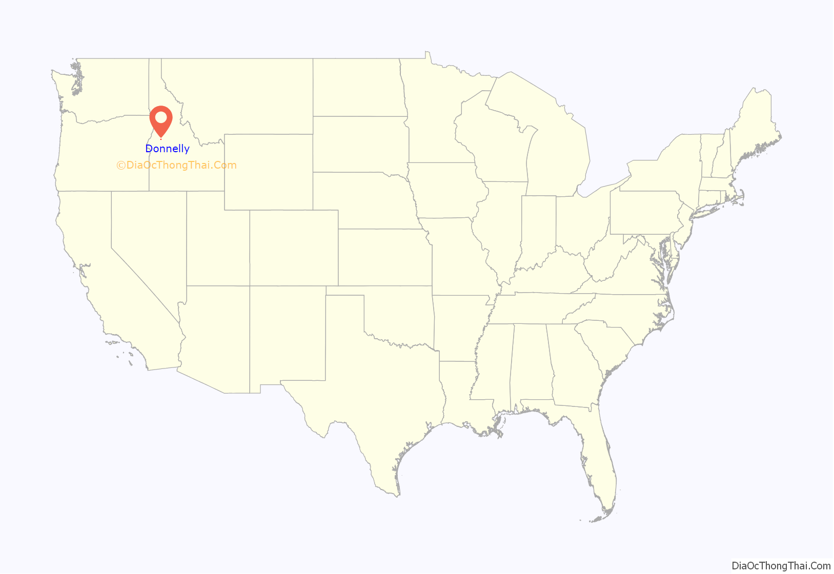
Donnelly location map. Where is Donnelly city?
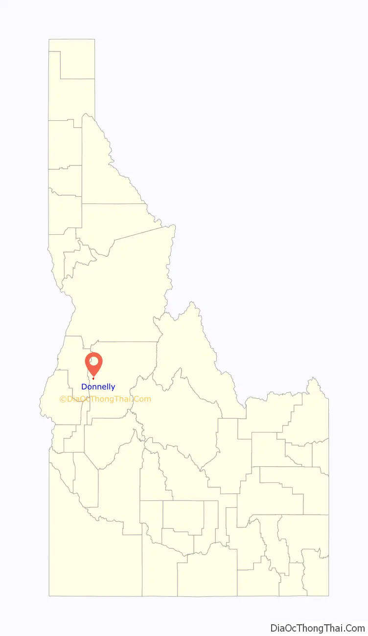
Donnelly Road Map
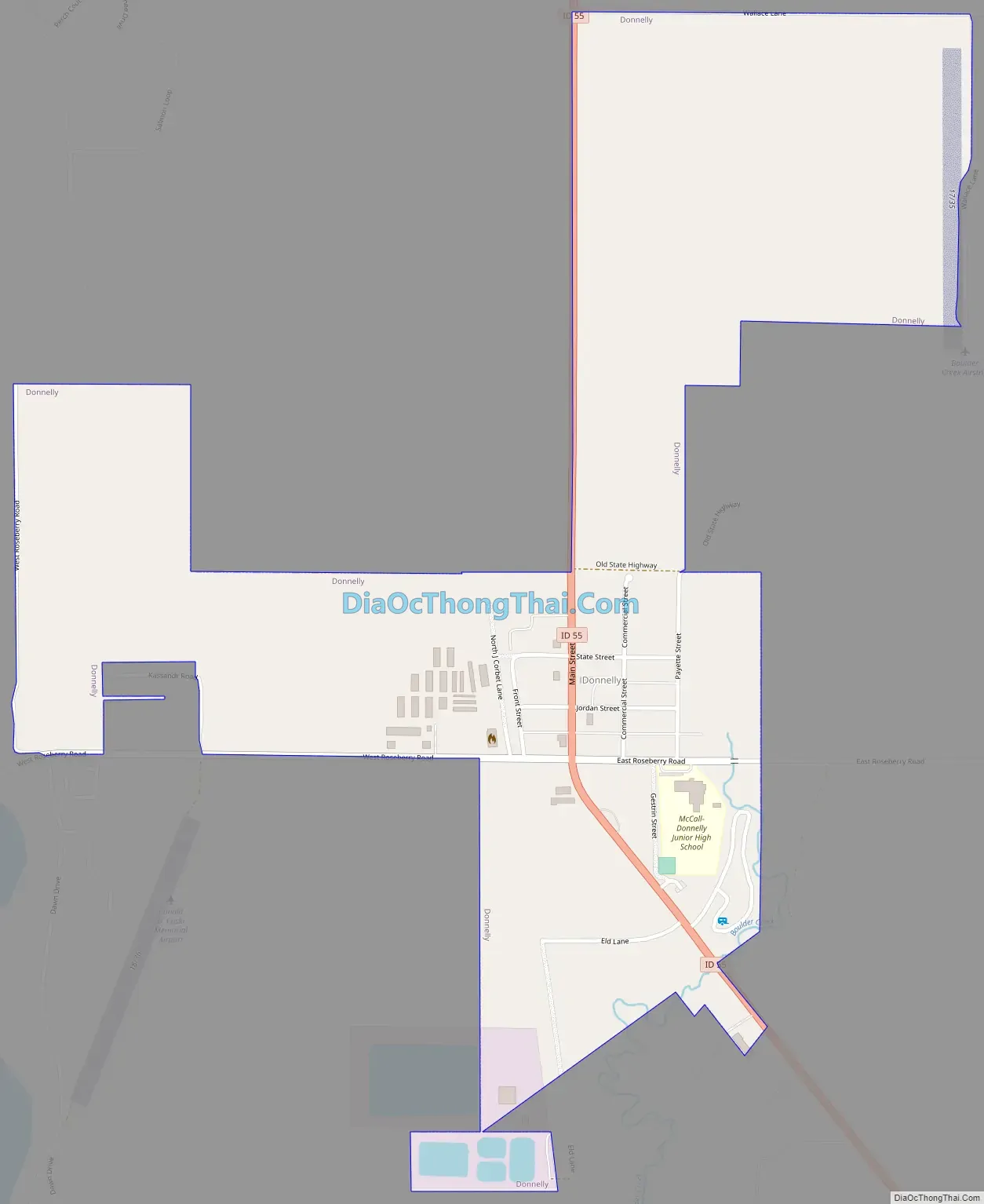
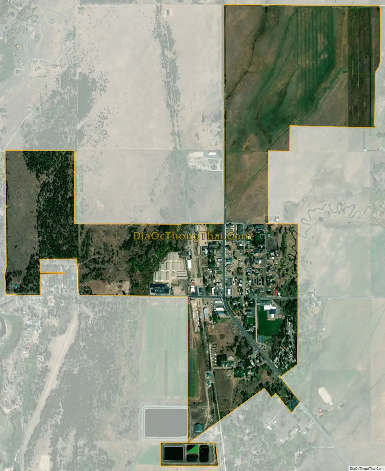
Donnelly city Satellite Map
Geography
Donnelly is located at 44°43′49″N 116°4′37″W / 44.73028°N 116.07694°W / 44.73028; -116.07694, at an elevation of 4,865 feet (1,483 m) above sea level. According to the United States Census Bureau, the city has a total area of 0.45 square miles (1.17 km), all of it land.
Donnelly is the gateway community for Tamarack Resort, which in 2014 emerged from foreclosure and restarted recreation activities.
See also
Map of Idaho State and its subdivision:- Ada
- Adams
- Bannock
- Bear Lake
- Benewah
- Bingham
- Blaine
- Boise
- Bonner
- Bonneville
- Boundary
- Butte
- Camas
- Canyon
- Caribou
- Cassia
- Clark
- Clearwater
- Custer
- Elmore
- Franklin
- Fremont
- Gem
- Gooding
- Idaho
- Jefferson
- Jerome
- Kootenai
- Latah
- Lemhi
- Lewis
- Lincoln
- Madison
- Minidoka
- Nez Perce
- Oneida
- Owyhee
- Payette
- Power
- Shoshone
- Teton
- Twin Falls
- Valley
- Washington
- Alabama
- Alaska
- Arizona
- Arkansas
- California
- Colorado
- Connecticut
- Delaware
- District of Columbia
- Florida
- Georgia
- Hawaii
- Idaho
- Illinois
- Indiana
- Iowa
- Kansas
- Kentucky
- Louisiana
- Maine
- Maryland
- Massachusetts
- Michigan
- Minnesota
- Mississippi
- Missouri
- Montana
- Nebraska
- Nevada
- New Hampshire
- New Jersey
- New Mexico
- New York
- North Carolina
- North Dakota
- Ohio
- Oklahoma
- Oregon
- Pennsylvania
- Rhode Island
- South Carolina
- South Dakota
- Tennessee
- Texas
- Utah
- Vermont
- Virginia
- Washington
- West Virginia
- Wisconsin
- Wyoming