Downey is a city in the Marsh Valley in southern Bannock County, Idaho, United States. It is part of the Pocatello Metropolitan Statistical Area. The population was 625 at the 2010 census.
The community was reportedly named after one Mr. Downey, a director of the Union Pacific Railroad. However, researchers have been unable verify existence of said Mr. Downey. Notwithstanding, some have asserted he was a track worker, not a director.
| Name: | Downey city |
|---|---|
| LSAD Code: | 25 |
| LSAD Description: | city (suffix) |
| State: | Idaho |
| County: | Bannock County |
| Elevation: | 4,865 ft (1,483 m) |
| Total Area: | 0.98 sq mi (2.53 km²) |
| Land Area: | 0.98 sq mi (2.53 km²) |
| Water Area: | 0.00 sq mi (0.00 km²) |
| Total Population: | 625 |
| Population Density: | 647.24/sq mi (249.80/km²) |
| ZIP code: | 83234 |
| Area code: | 208, 986 |
| FIPS code: | 1622600 |
| GNISfeature ID: | 2410353 |
| Website: | www.downeyidaho.us |
Online Interactive Map
Click on ![]() to view map in "full screen" mode.
to view map in "full screen" mode.
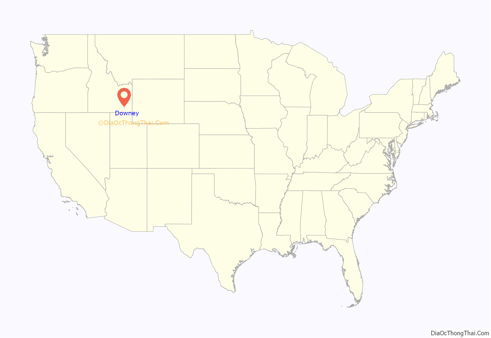
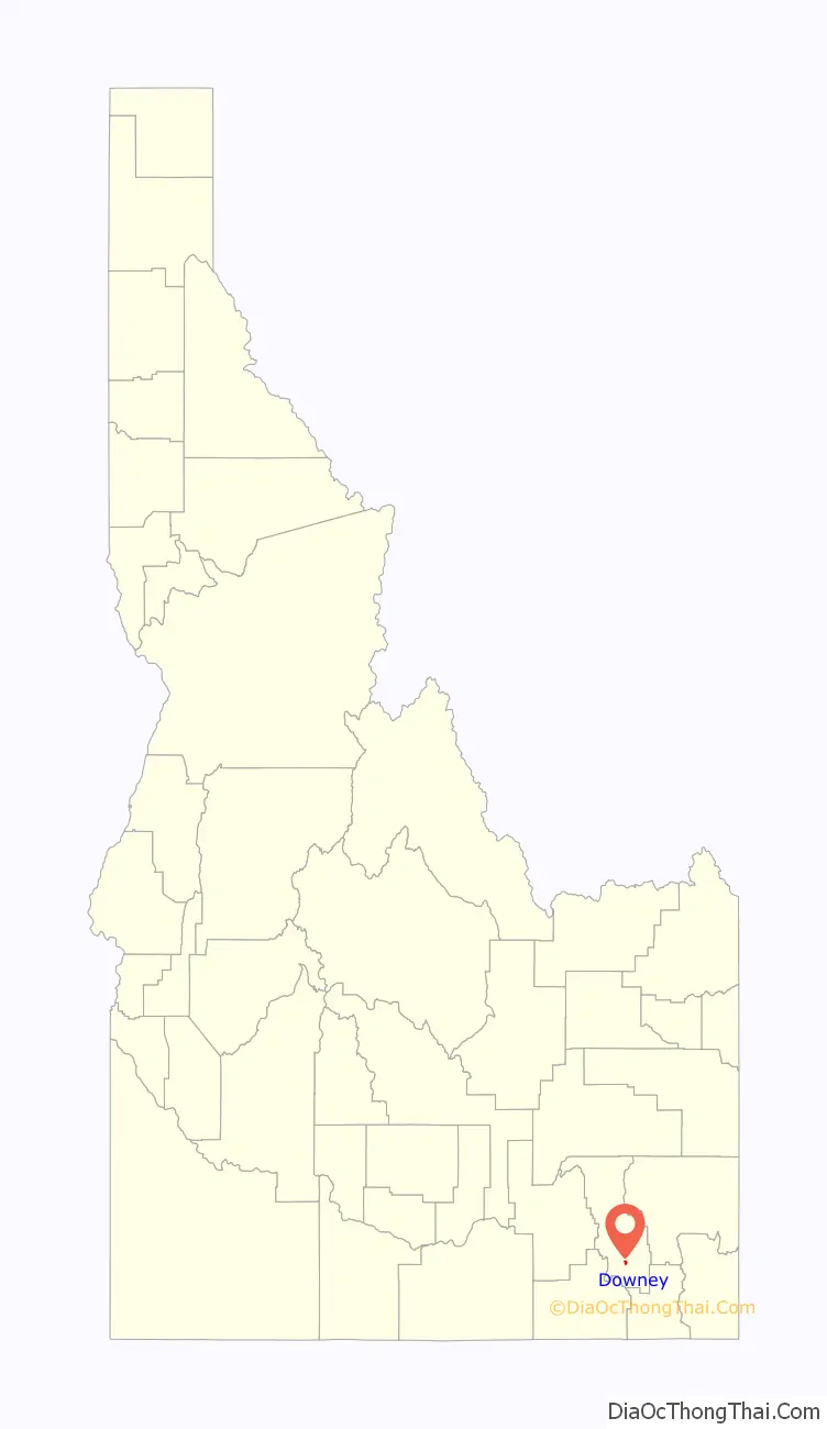
Downey location map. Where is Downey city?
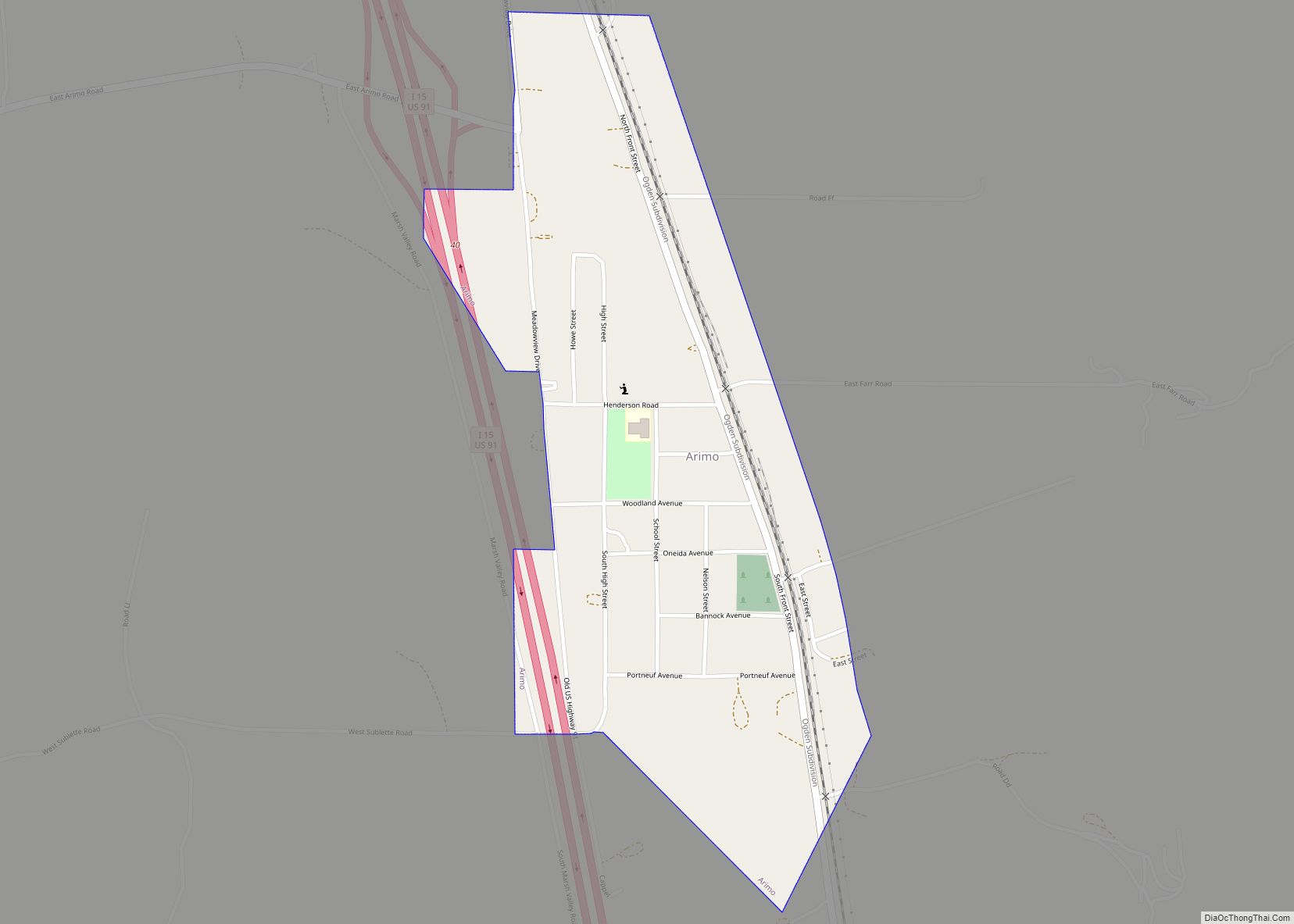
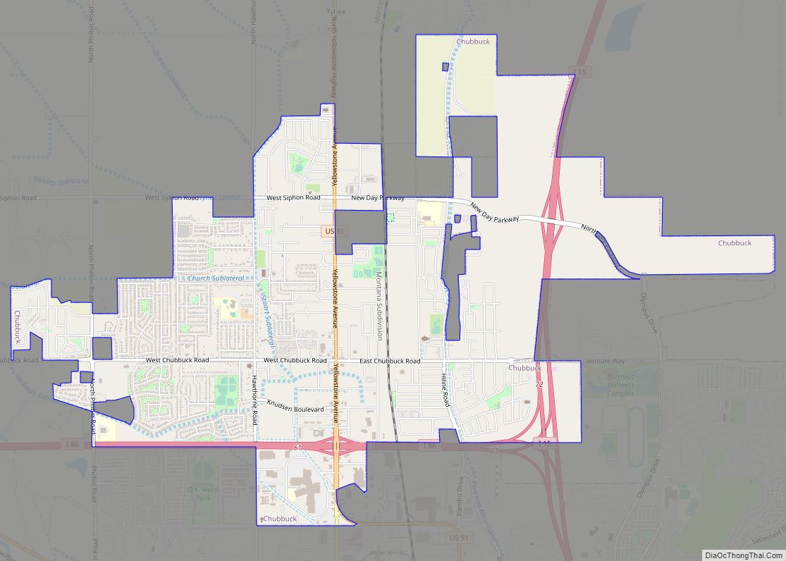
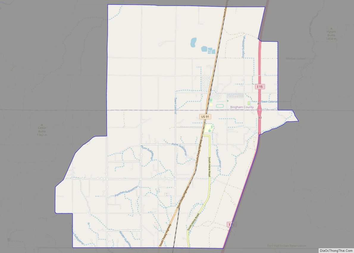
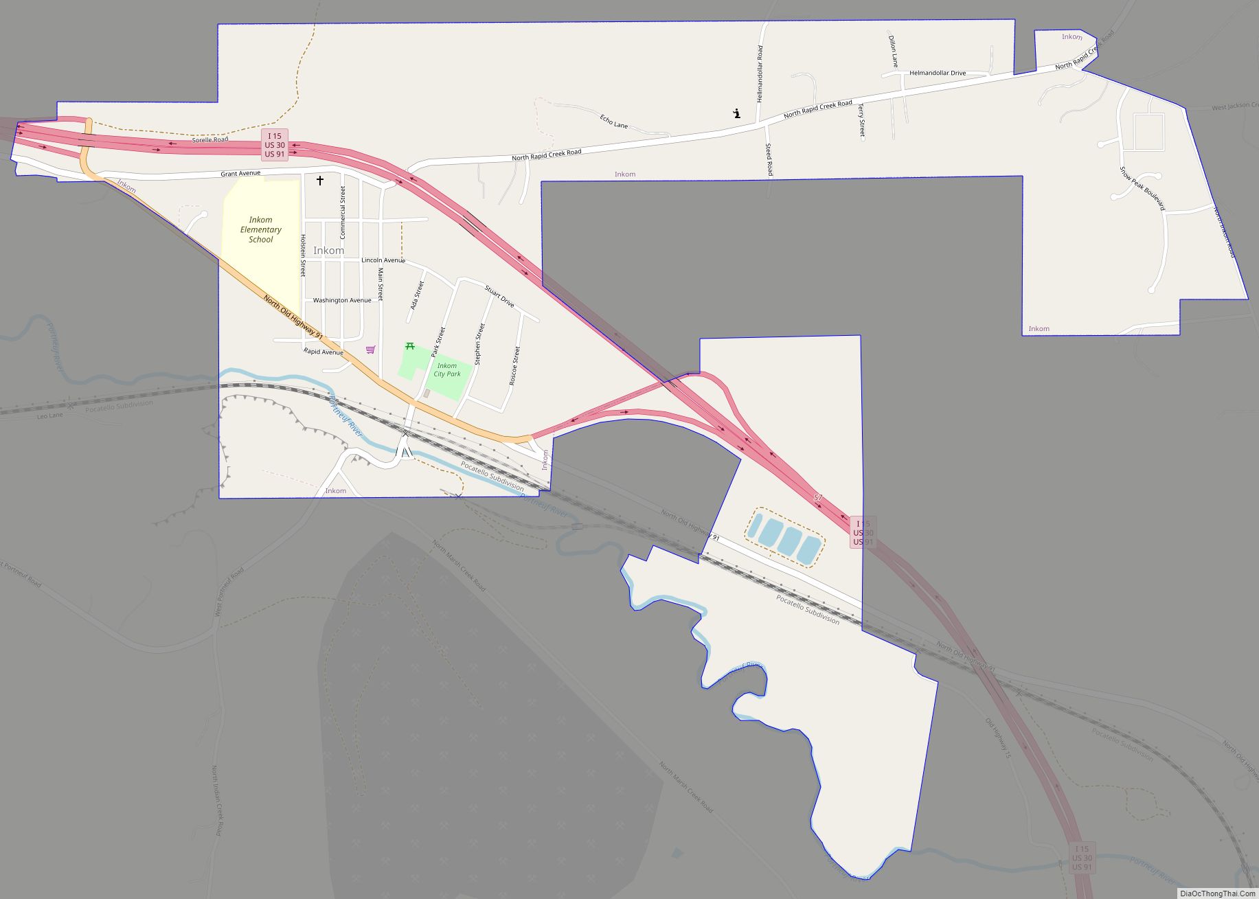
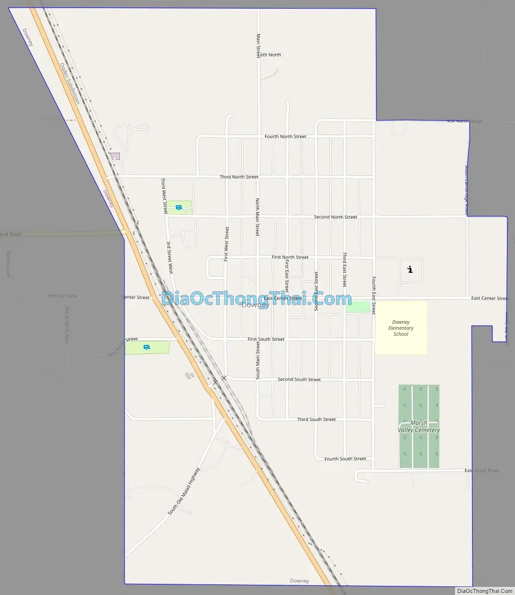
Downey Road Map
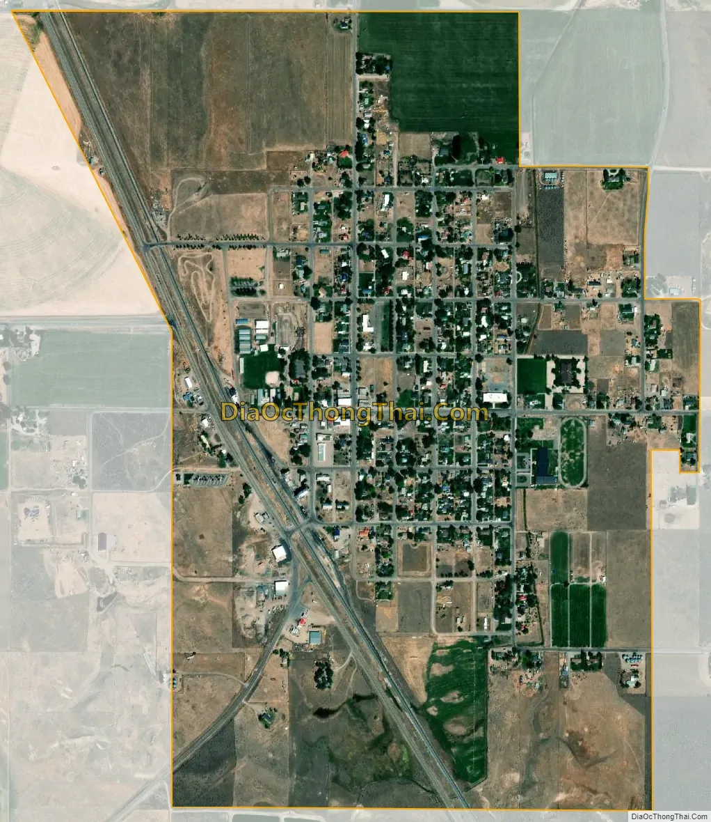
Downey city Satellite Map
Geography
Downey is located at 42°25′46″N 112°7′21″W / 42.42944°N 112.12250°W / 42.42944; -112.12250 (42.429312, -112.122397), at 4,860 feet (1,480 m) in Marsh Valley. It lies on the route of U.S. Highway 91.
According to the United States Census Bureau, the city has a total area of 0.99 square miles (2.56 km), all of it land.
See also
Map of Idaho State and its subdivision:- Ada
- Adams
- Bannock
- Bear Lake
- Benewah
- Bingham
- Blaine
- Boise
- Bonner
- Bonneville
- Boundary
- Butte
- Camas
- Canyon
- Caribou
- Cassia
- Clark
- Clearwater
- Custer
- Elmore
- Franklin
- Fremont
- Gem
- Gooding
- Idaho
- Jefferson
- Jerome
- Kootenai
- Latah
- Lemhi
- Lewis
- Lincoln
- Madison
- Minidoka
- Nez Perce
- Oneida
- Owyhee
- Payette
- Power
- Shoshone
- Teton
- Twin Falls
- Valley
- Washington
- Alabama
- Alaska
- Arizona
- Arkansas
- California
- Colorado
- Connecticut
- Delaware
- District of Columbia
- Florida
- Georgia
- Hawaii
- Idaho
- Illinois
- Indiana
- Iowa
- Kansas
- Kentucky
- Louisiana
- Maine
- Maryland
- Massachusetts
- Michigan
- Minnesota
- Mississippi
- Missouri
- Montana
- Nebraska
- Nevada
- New Hampshire
- New Jersey
- New Mexico
- New York
- North Carolina
- North Dakota
- Ohio
- Oklahoma
- Oregon
- Pennsylvania
- Rhode Island
- South Carolina
- South Dakota
- Tennessee
- Texas
- Utah
- Vermont
- Virginia
- Washington
- West Virginia
- Wisconsin
- Wyoming