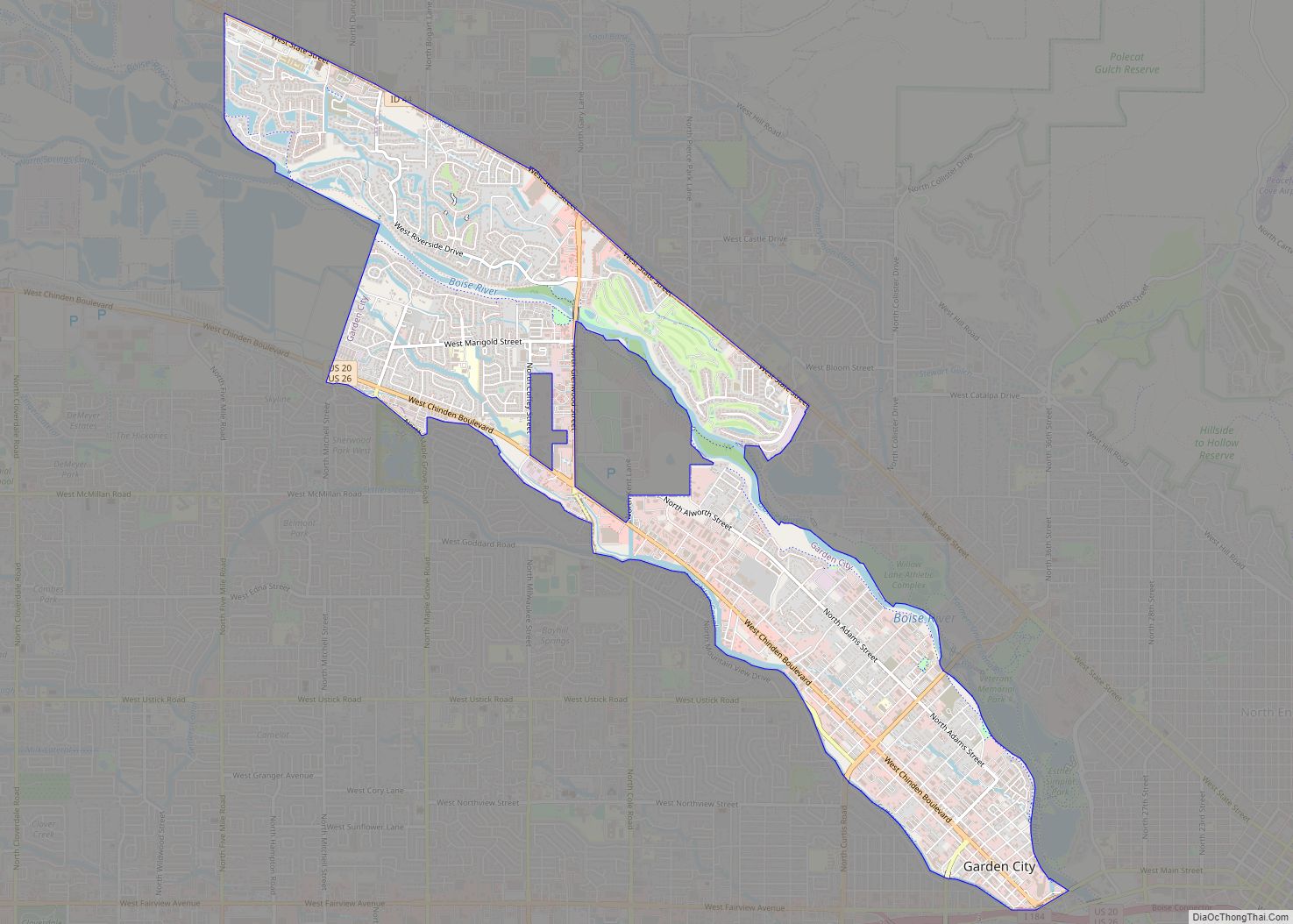
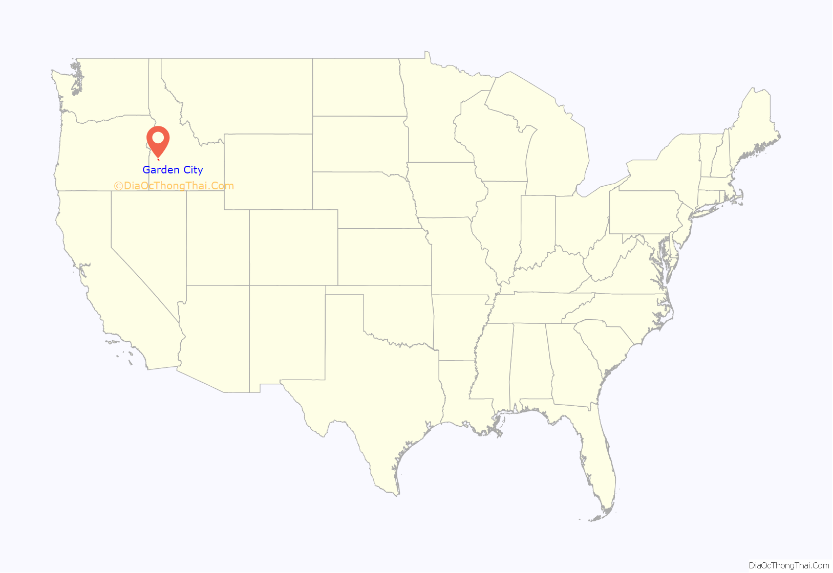
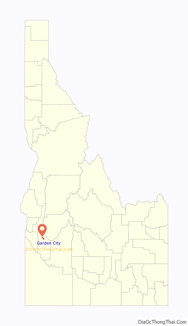
Garden City is a city in Ada County, Idaho. The population was 12,316 at the time of the 2020 census. Garden City is nearly surrounded by Boise but retains a separate municipal government.
Garden City was named for gardens raised by Chinese immigrants who lived in the area. The name of the city’s only main street, Chinden Boulevard, is a portmanteau of the words “China” and “garden.” In the second decade of the 21st century, it became a haven for artists’ studios.
Garden City is part of the Boise metropolitan area.
| Name: | Garden City city |
|---|---|
| LSAD Code: | 25 |
| LSAD Description: | city (suffix) |
| State: | Idaho |
| County: | Ada County |
| Elevation: | 2,674 ft (815 m) |
| Total Area: | 4.28 sq mi (11.07 km²) |
| Land Area: | 4.08 sq mi (10.57 km²) |
| Water Area: | 0.20 sq mi (0.50 km²) |
| Total Population: | 12,316 |
| Population Density: | 3,018/sq mi (1,165/km²) |
| ZIP code: | 83703, 83714 |
| Area code: | 208, 986 |
| FIPS code: | 1629620 |
| GNISfeature ID: | 0396529 |
| Website: | gardencityidaho.org |
Online Interactive Map
Click on ![]() to view map in "full screen" mode.
to view map in "full screen" mode.
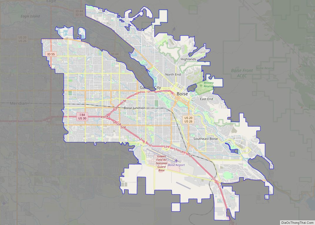
Garden City location map. Where is Garden City city?
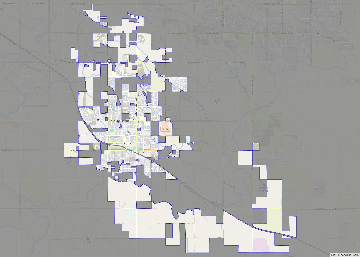
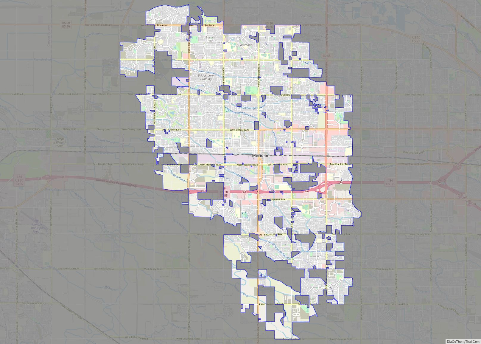
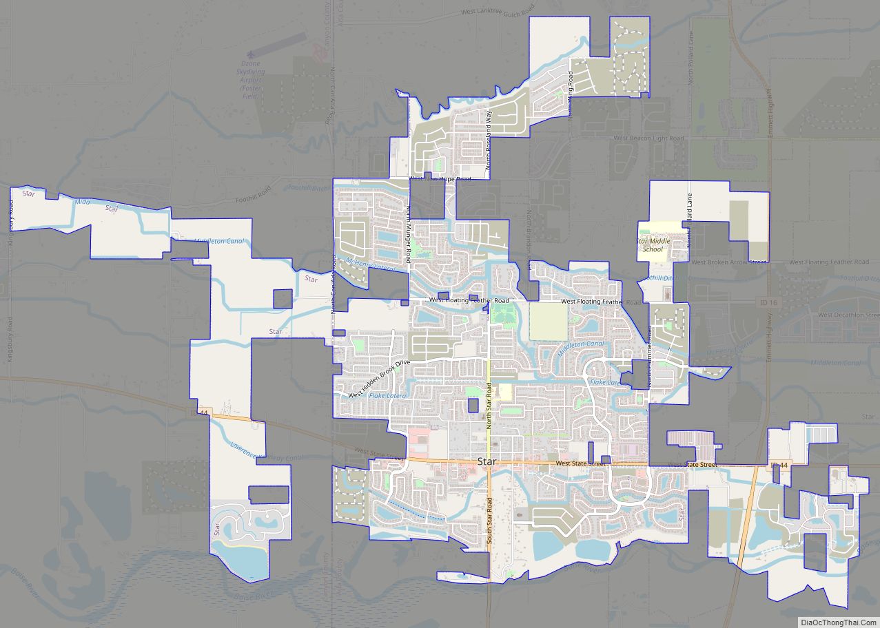
Garden City Road Map

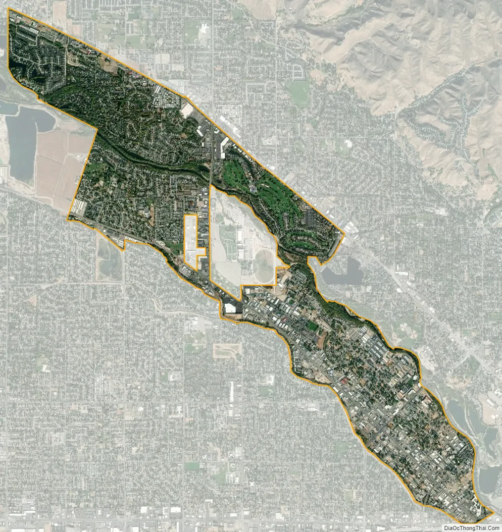
Garden City city Satellite Map
Geography
Garden City is located at 43°38′44″N 116°15′58″W / 43.64556°N 116.26611°W / 43.64556; -116.26611 (43.645561, -116.266132), at an elevation of 2674 feet (815 m) above sea level.
According to the United States Census Bureau, the city has a total area of 4.17 square miles (10.80 km), of which 4.04 square miles (10.46 km) is land and 0.13 square miles (0.34 km) is water.
See also
Map of Idaho State and its subdivision:- Ada
- Adams
- Bannock
- Bear Lake
- Benewah
- Bingham
- Blaine
- Boise
- Bonner
- Bonneville
- Boundary
- Butte
- Camas
- Canyon
- Caribou
- Cassia
- Clark
- Clearwater
- Custer
- Elmore
- Franklin
- Fremont
- Gem
- Gooding
- Idaho
- Jefferson
- Jerome
- Kootenai
- Latah
- Lemhi
- Lewis
- Lincoln
- Madison
- Minidoka
- Nez Perce
- Oneida
- Owyhee
- Payette
- Power
- Shoshone
- Teton
- Twin Falls
- Valley
- Washington
- Alabama
- Alaska
- Arizona
- Arkansas
- California
- Colorado
- Connecticut
- Delaware
- District of Columbia
- Florida
- Georgia
- Hawaii
- Idaho
- Illinois
- Indiana
- Iowa
- Kansas
- Kentucky
- Louisiana
- Maine
- Maryland
- Massachusetts
- Michigan
- Minnesota
- Mississippi
- Missouri
- Montana
- Nebraska
- Nevada
- New Hampshire
- New Jersey
- New Mexico
- New York
- North Carolina
- North Dakota
- Ohio
- Oklahoma
- Oregon
- Pennsylvania
- Rhode Island
- South Carolina
- South Dakota
- Tennessee
- Texas
- Utah
- Vermont
- Virginia
- Washington
- West Virginia
- Wisconsin
- Wyoming