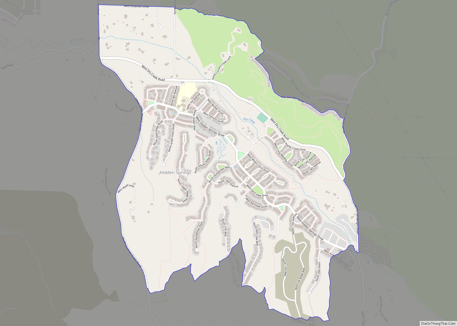
Hidden Springs is a master-planned community and census-designated place in the Dry Creek Valley of Ada County, Idaho. Its population was 2,280 as of the 2010 census.
The community manages more than 800 acres of permanently preserved open space and its own wastewater treatment facility.
Architecture is primarily in a neo-traditional style, with many homes having garages accessible through rear alleys. The result is a neighborhood that is generally more pedestrian-friendly than the typical suburban subdivision.
| Name: | Hidden Springs CDP |
|---|---|
| LSAD Code: | 57 |
| LSAD Description: | CDP (suffix) |
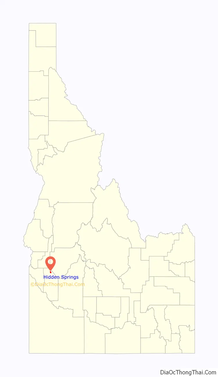
| State: | Idaho |
| County: | Ada County |
| Elevation: | 2,864 ft (873 m) |
| Total Area: | 2.536 sq mi (6.57 km²) |
| Land Area: | 2.524 sq mi (6.54 km²) |
| Water Area: | 0.012 sq mi (0.03 km²) |
| Total Population: | 2,280 |
| Population Density: | 900/sq mi (350/km²) |
| Area code: | 208, 986 |
| FIPS code: | 1637500 |
| GNISfeature ID: | 2585573 |
Online Interactive Map
Click on ![]() to view map in "full screen" mode.
to view map in "full screen" mode.
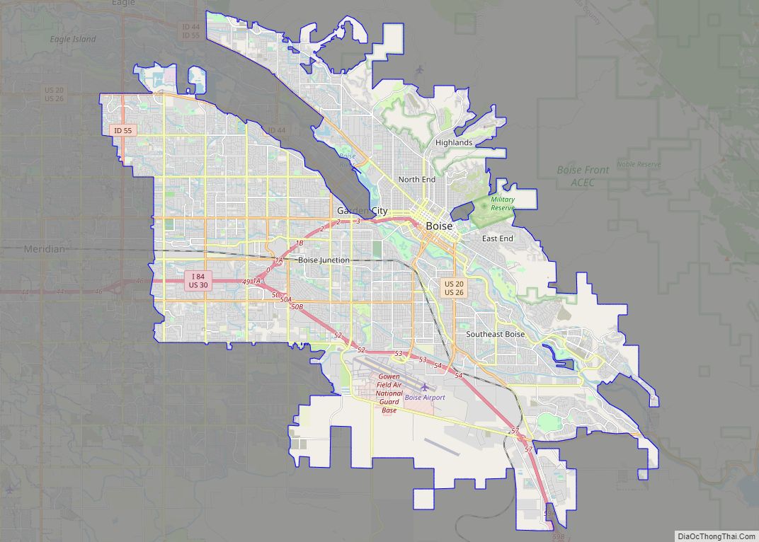
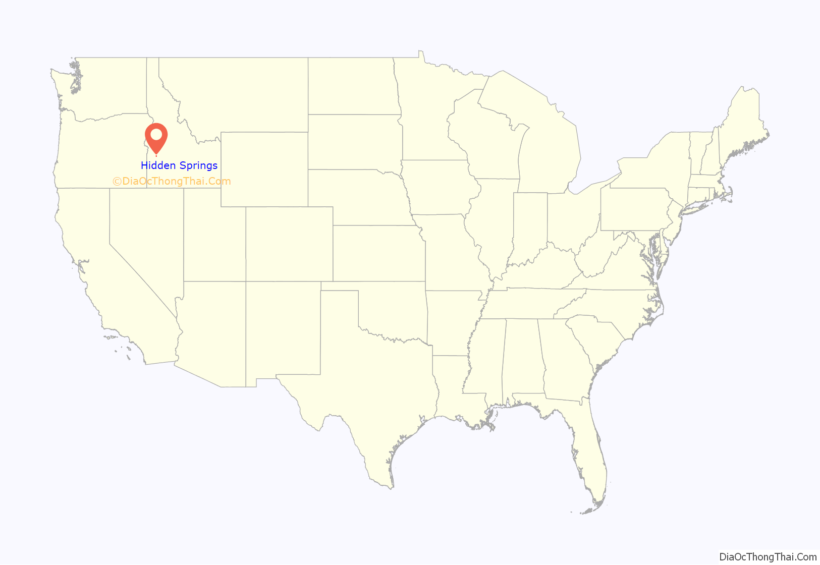
Hidden Springs location map. Where is Hidden Springs CDP?
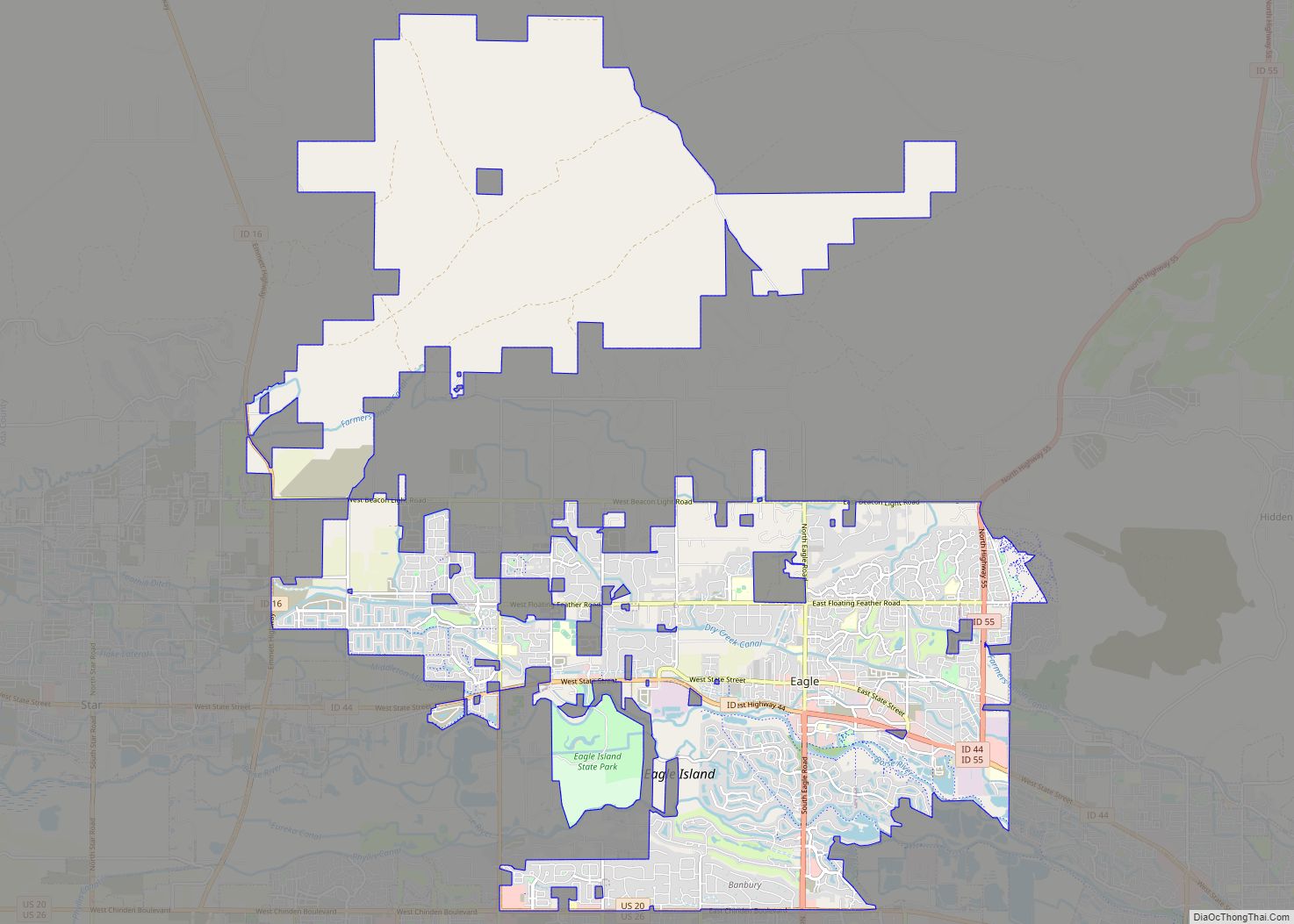
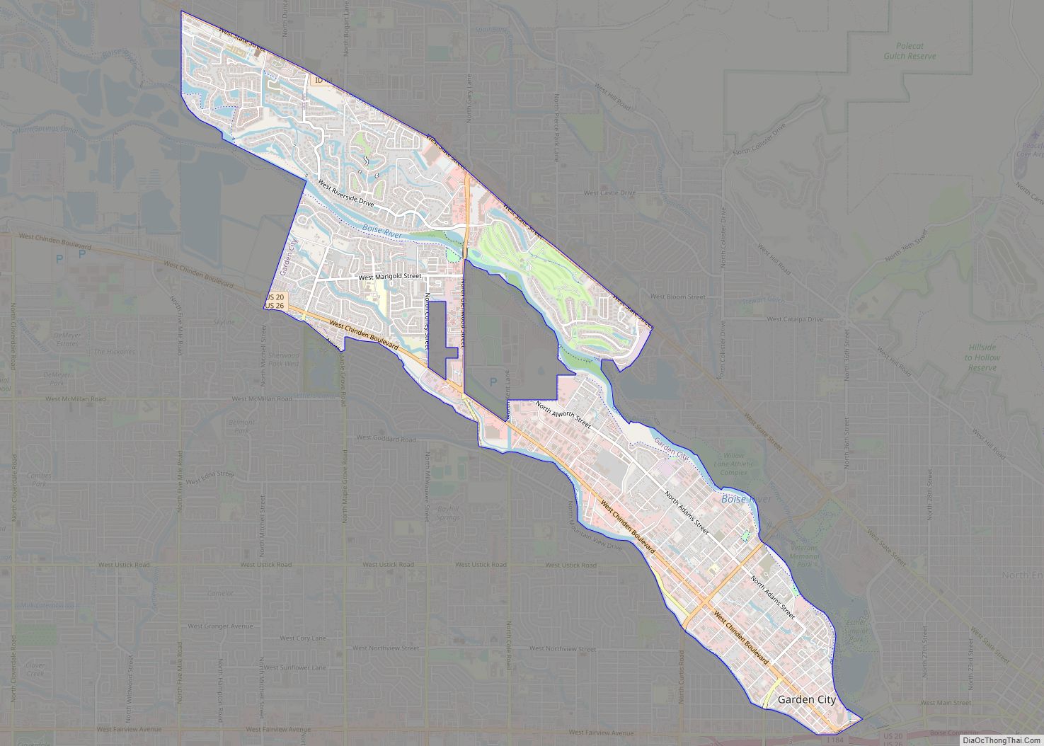
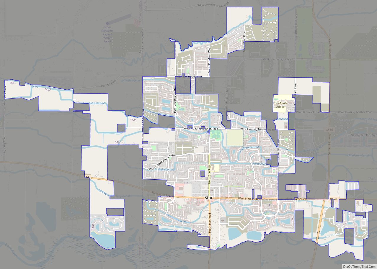
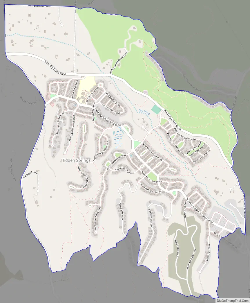
Hidden Springs Road Map
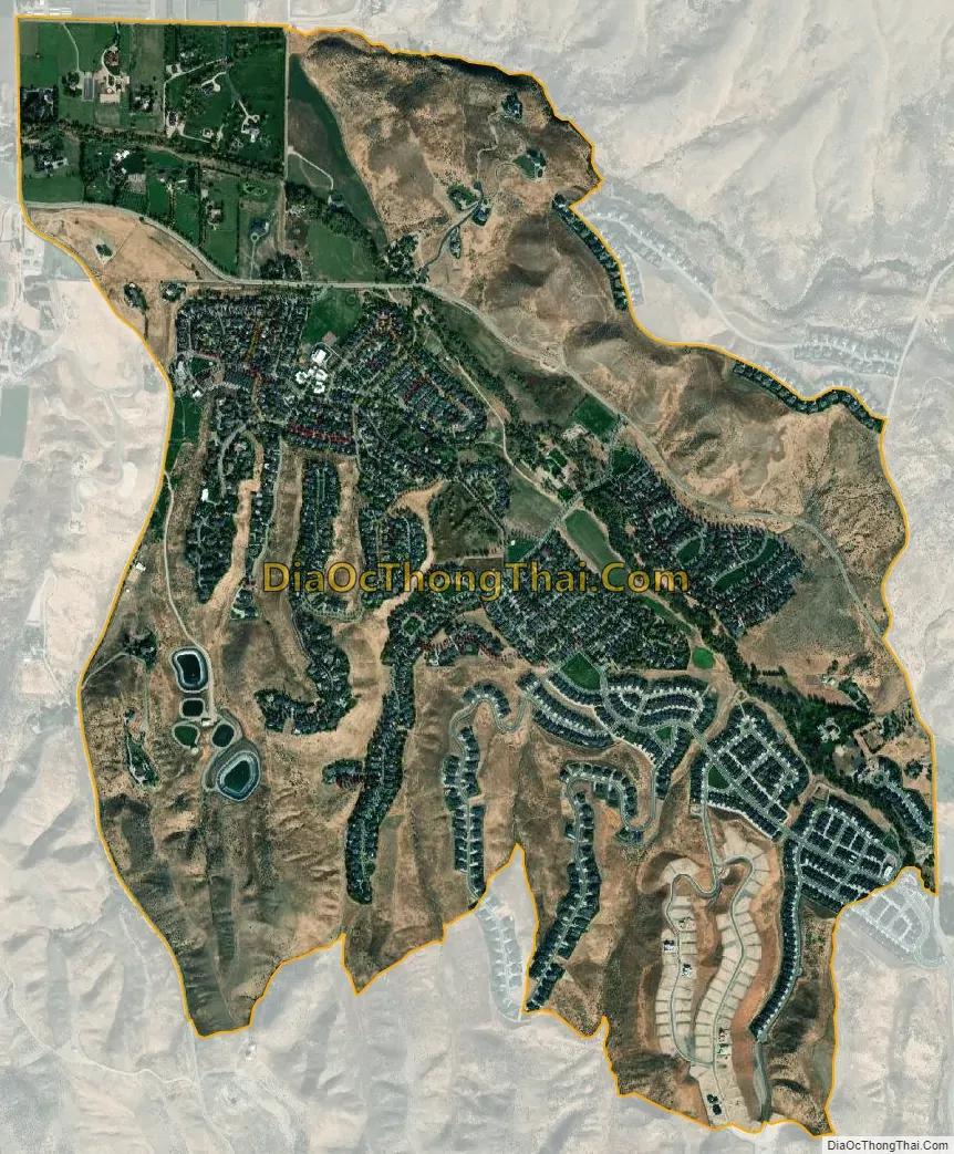
Hidden Springs city Satellite Map
See also
Map of Idaho State and its subdivision:- Ada
- Adams
- Bannock
- Bear Lake
- Benewah
- Bingham
- Blaine
- Boise
- Bonner
- Bonneville
- Boundary
- Butte
- Camas
- Canyon
- Caribou
- Cassia
- Clark
- Clearwater
- Custer
- Elmore
- Franklin
- Fremont
- Gem
- Gooding
- Idaho
- Jefferson
- Jerome
- Kootenai
- Latah
- Lemhi
- Lewis
- Lincoln
- Madison
- Minidoka
- Nez Perce
- Oneida
- Owyhee
- Payette
- Power
- Shoshone
- Teton
- Twin Falls
- Valley
- Washington
- Alabama
- Alaska
- Arizona
- Arkansas
- California
- Colorado
- Connecticut
- Delaware
- District of Columbia
- Florida
- Georgia
- Hawaii
- Idaho
- Illinois
- Indiana
- Iowa
- Kansas
- Kentucky
- Louisiana
- Maine
- Maryland
- Massachusetts
- Michigan
- Minnesota
- Mississippi
- Missouri
- Montana
- Nebraska
- Nevada
- New Hampshire
- New Jersey
- New Mexico
- New York
- North Carolina
- North Dakota
- Ohio
- Oklahoma
- Oregon
- Pennsylvania
- Rhode Island
- South Carolina
- South Dakota
- Tennessee
- Texas
- Utah
- Vermont
- Virginia
- Washington
- West Virginia
- Wisconsin
- Wyoming