Inkom is a city in Bannock County, Idaho. It is part of the Pocatello, Idaho Metropolitan Statistical Area. The population was 854 at the time of the 2010 census. It is the home of the smallest airport in the world, Simko Field Airport 1ID9, with a runway length of 122 meters (400 feet).
| Name: | Inkom city |
|---|---|
| LSAD Code: | 25 |
| LSAD Description: | city (suffix) |
| State: | Idaho |
| County: | Bannock County |
| Elevation: | 4,544 ft (1,385 m) |
| Total Area: | 0.99 sq mi (2.56 km²) |
| Land Area: | 0.97 sq mi (2.52 km²) |
| Water Area: | 0.01 sq mi (0.04 km²) |
| Total Population: | 854 |
| Population Density: | 927.98/sq mi (358.45/km²) |
| ZIP code: | 83245 |
| Area code: | 208, 986 |
| FIPS code: | 1640330 |
| GNISfeature ID: | 0396692 |
| Website: | inkomcity.org |
Online Interactive Map
Click on ![]() to view map in "full screen" mode.
to view map in "full screen" mode.
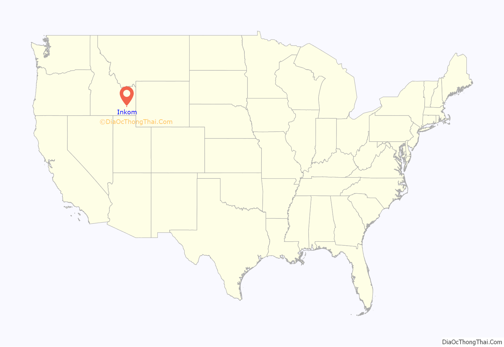
Inkom location map. Where is Inkom city?
History
The Shoshone Indians named the area around present day Inkom “Ingacom”, a reference to the rock formation on the eastern side of town, where one can see the remnants of the “Red Hare”. It was photographed in 1930 after the “ears” had been knocked off by vandals. The local creek was originally called “Rabbit River” but later changed to Rapid Creek as it is called today. The “Red Hare” is still there today.
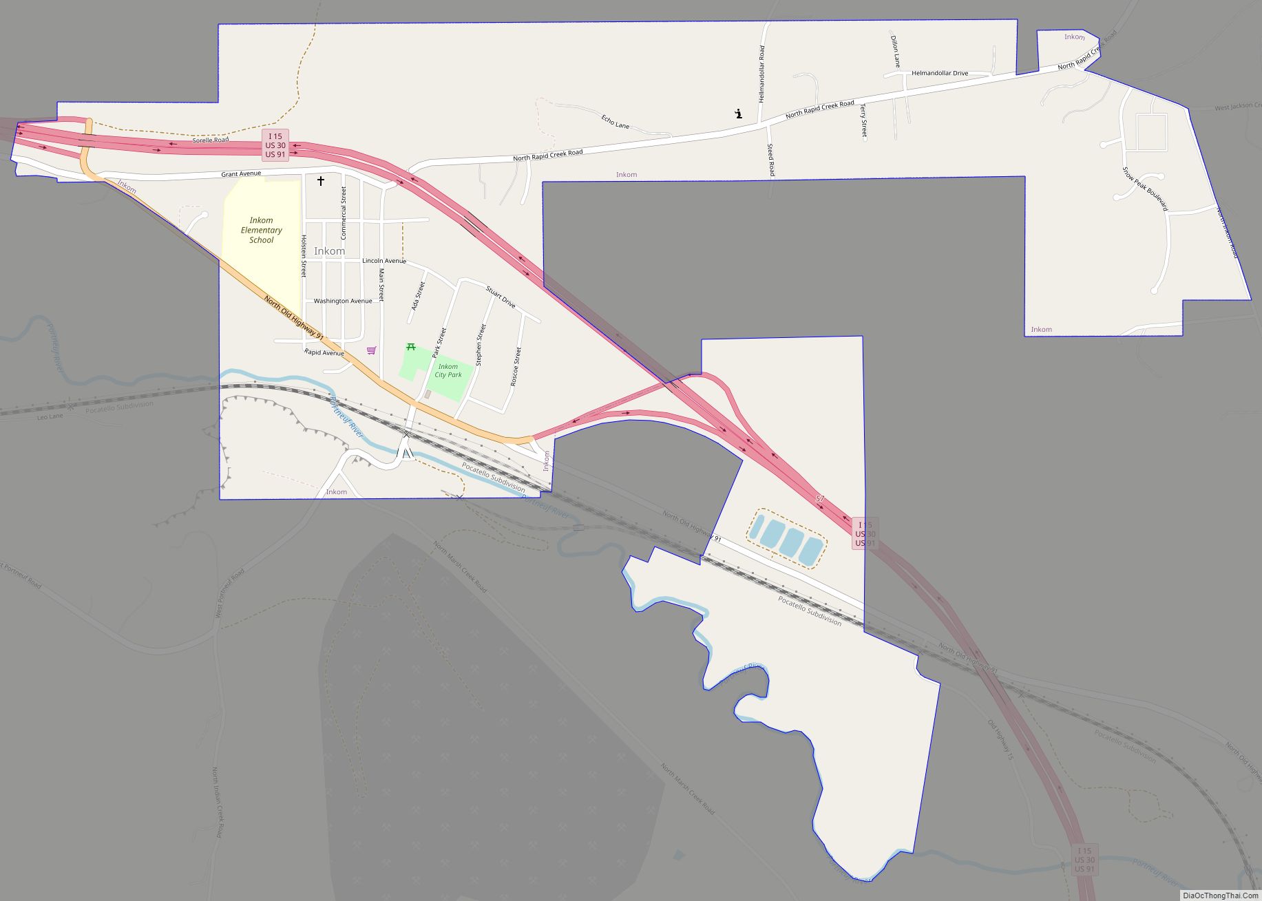
Inkom Road Map
Inkom city Satellite Map
Geography
Inkom is located at 42°47′46″N 112°15′0″W / 42.79611°N 112.25000°W / 42.79611; -112.25000 (42.796055, -112.249933).
According to the United States Census Bureau, the city has a total area of 0.75 square miles (1.94 km), of which, 0.74 square miles (1.92 km) is land and 0.01 square miles (0.03 km) is water.
See also
Map of Idaho State and its subdivision:- Ada
- Adams
- Bannock
- Bear Lake
- Benewah
- Bingham
- Blaine
- Boise
- Bonner
- Bonneville
- Boundary
- Butte
- Camas
- Canyon
- Caribou
- Cassia
- Clark
- Clearwater
- Custer
- Elmore
- Franklin
- Fremont
- Gem
- Gooding
- Idaho
- Jefferson
- Jerome
- Kootenai
- Latah
- Lemhi
- Lewis
- Lincoln
- Madison
- Minidoka
- Nez Perce
- Oneida
- Owyhee
- Payette
- Power
- Shoshone
- Teton
- Twin Falls
- Valley
- Washington
- Alabama
- Alaska
- Arizona
- Arkansas
- California
- Colorado
- Connecticut
- Delaware
- District of Columbia
- Florida
- Georgia
- Hawaii
- Idaho
- Illinois
- Indiana
- Iowa
- Kansas
- Kentucky
- Louisiana
- Maine
- Maryland
- Massachusetts
- Michigan
- Minnesota
- Mississippi
- Missouri
- Montana
- Nebraska
- Nevada
- New Hampshire
- New Jersey
- New Mexico
- New York
- North Carolina
- North Dakota
- Ohio
- Oklahoma
- Oregon
- Pennsylvania
- Rhode Island
- South Carolina
- South Dakota
- Tennessee
- Texas
- Utah
- Vermont
- Virginia
- Washington
- West Virginia
- Wisconsin
- Wyoming
