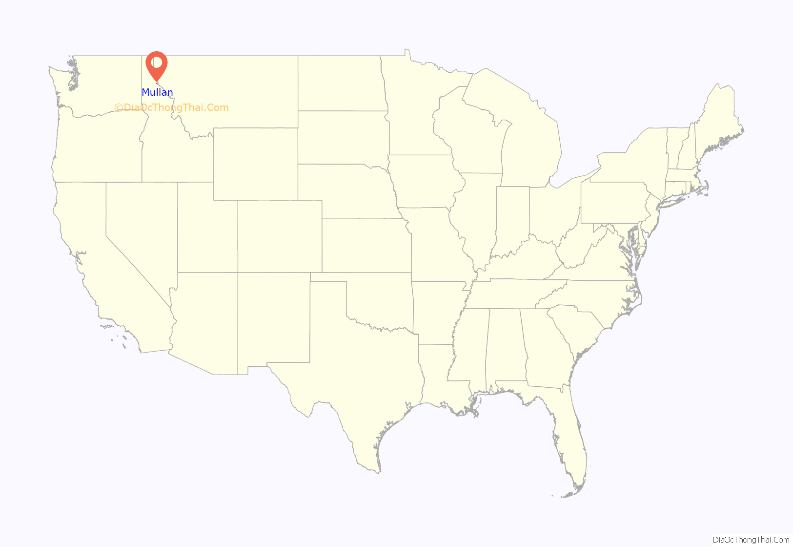
Mullan is a city in the northwest United States, located in the Silver Valley mining district of northern Idaho. The population was 646 at the 2020 census and 692 at the 2010 census, and 840 in 2000.
In Shoshone County at the east end of the Silver Valley, Mullan is in a sheltered canyon of the Coeur d’Alene Mountains at an elevation of 3,278 feet (1,000 m) above sea level. The entrance to the Lucky Friday mine is several hundred yards east of the city center; the active mine (silver, lead, & zinc) descends more than six thousand feet (1.1 mi; 1.8 km) below the surface.
Interstate 90 runs by the city’s south side, and the Montana border at Lookout Pass is six miles (10 km) east at 4,700 feet (1,435 m) above sea level.
| Name: | Mullan city |
|---|---|
| LSAD Code: | 25 |
| LSAD Description: | city (suffix) |
| State: | Idaho |
| County: | Shoshone County |
| Elevation: | 3,278 ft (999 m) |
| Total Area: | 0.83 sq mi (2.14 km²) |
| Land Area: | 0.83 sq mi (2.14 km²) |
| Water Area: | 0.00 sq mi (0.00 km²) |
| Total Population: | 692 |
| Population Density: | 836.76/sq mi (322.92/km²) |
| ZIP code: | 83846 |
| Area code: | 208, 986 |
| FIPS code: | 1655630 |
| GNISfeature ID: | 0387396 |
Online Interactive Map
Click on ![]() to view map in "full screen" mode.
to view map in "full screen" mode.
Mullan location map. Where is Mullan city?
History
Mullan came into existence 139 years ago in 1884 with the discovery of gold at the Gold Hunter Mine, which turned out to be a lead and silver producer. That same year, George Good made a lead-silver strike with the Morning Mine and Mullan came into existence between the two mines. The site was filed in August 1888, after the village had twenty log and fifteen frame houses, a sawmill, and a population of 150. The Northern Pacific Railway arrived in 1889 and the city was incorporated in 1904.
During the Coeur d’Alene labor confrontation of 1899, two hundred miners from Mullan joined the Dynamite Express. In the aftermath of the labor war, many of Mullan’s leaders and Populist elected officials including the sheriff were arrested and sent to the Wallace bull pens.
The city was named for West Point graduate John Mullan (1830–1909), who was in charge of selecting a wagon route (commonly called the Mullan Road) between Fort Benton (Montana) and Fort Walla Walla (Washington). Lieutenant Mullan, a topographical engineer in the U.S. Army, began gathering information in 1854. Delayed by the Coeur d’Alene War of 1858, construction began in 1859 from Fort Walla Walla.
From today’s Mullan townsite, the Mullan Road continued 6–7 miles (10–11 km) southeast up Willow Creek to cross the Idaho–Montana border at today’s St. Regis Pass (47°27′00″N 115°43′19″W / 47.45°N 115.722°W / 47.45; -115.722). It was formerly “Sohon Pass,” named by Mullan for artist Gustavus Sohon, whose explorations found the 4,900-foot (1,495 m) gap, about a mile west of Lookout Pass. After the strenuous project was completed in 1860, floods wiped out substantial stretches of the road, and the road was re-routed in 1861. Floods again damaged the road, and ultimately, no provision for maintenance was provided.
Mullan’s population has declined in recent decades, from a peak of 2,291 in 1940.
Present day
Mullan is significantly smaller than it was in the heyday of the Morning and Lucky Friday mines. The Mullan School District operates the John Mullan Elementary School (K–6) and the Mullan Junior/Senior High School (7–12), opened 96 years ago in 1927.
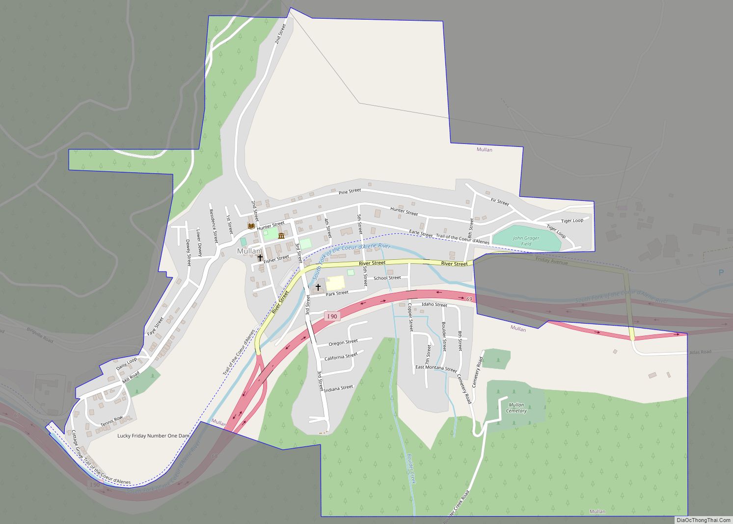
Mullan has its own fire department and owns and maintains an Olympic-size swimming pool (50 m (55 yd)) for community use. The city is accessed from Interstate 90 at exits 67, 68, and 69.
Mullan Road Map
Mullan city Satellite Map
Geography
Mullan is located at 47°28′08″N 115°47′53″W / 47.469°N 115.798°W / 47.469; -115.798, at an elevation of 3,278 feet (999 m) above sea level.
According to the United States Census Bureau, the city has a total area of 0.84 square miles (2.18 km), all of it land.
See also
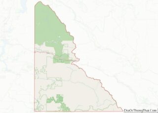
Map of Idaho State and its subdivision:- Ada
- Adams
- Bannock
- Bear Lake
- Benewah
- Bingham
- Blaine
- Boise
- Bonner
- Bonneville
- Boundary
- Butte
- Camas
- Canyon
- Caribou
- Cassia
- Clark
- Clearwater
- Custer
- Elmore
- Franklin
- Fremont
- Gem
- Gooding
- Idaho
- Jefferson
- Jerome
- Kootenai
- Latah
- Lemhi
- Lewis
- Lincoln
- Madison
- Minidoka
- Nez Perce
- Oneida
- Owyhee
- Payette
- Power
- Shoshone
- Teton
- Twin Falls
- Valley
- Washington
- Alabama
- Alaska
- Arizona
- Arkansas
- California
- Colorado
- Connecticut
- Delaware
- District of Columbia
- Florida
- Georgia
- Hawaii
- Idaho
- Illinois
- Indiana
- Iowa
- Kansas
- Kentucky
- Louisiana
- Maine
- Maryland
- Massachusetts
- Michigan
- Minnesota
- Mississippi
- Missouri
- Montana
- Nebraska
- Nevada
- New Hampshire
- New Jersey
- New Mexico
- New York
- North Carolina
- North Dakota
- Ohio
- Oklahoma
- Oregon
- Pennsylvania
- Rhode Island
- South Carolina
- South Dakota
- Tennessee
- Texas
- Utah
- Vermont
- Virginia
- Washington
- West Virginia
- Wisconsin
- Wyoming
