New Plymouth is a city in Payette County, Idaho. The population was 1,538 at the 2010 census, up from 1400 in 2000. It was incorporated on February 15, 1896. It is the host of the annual Payette County Fair and rodeo.
New Plymouth is part of the Ontario, OR–ID Micropolitan Statistical Area.
| Name: | New Plymouth city |
|---|---|
| LSAD Code: | 25 |
| LSAD Description: | city (suffix) |
| State: | Idaho |
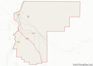
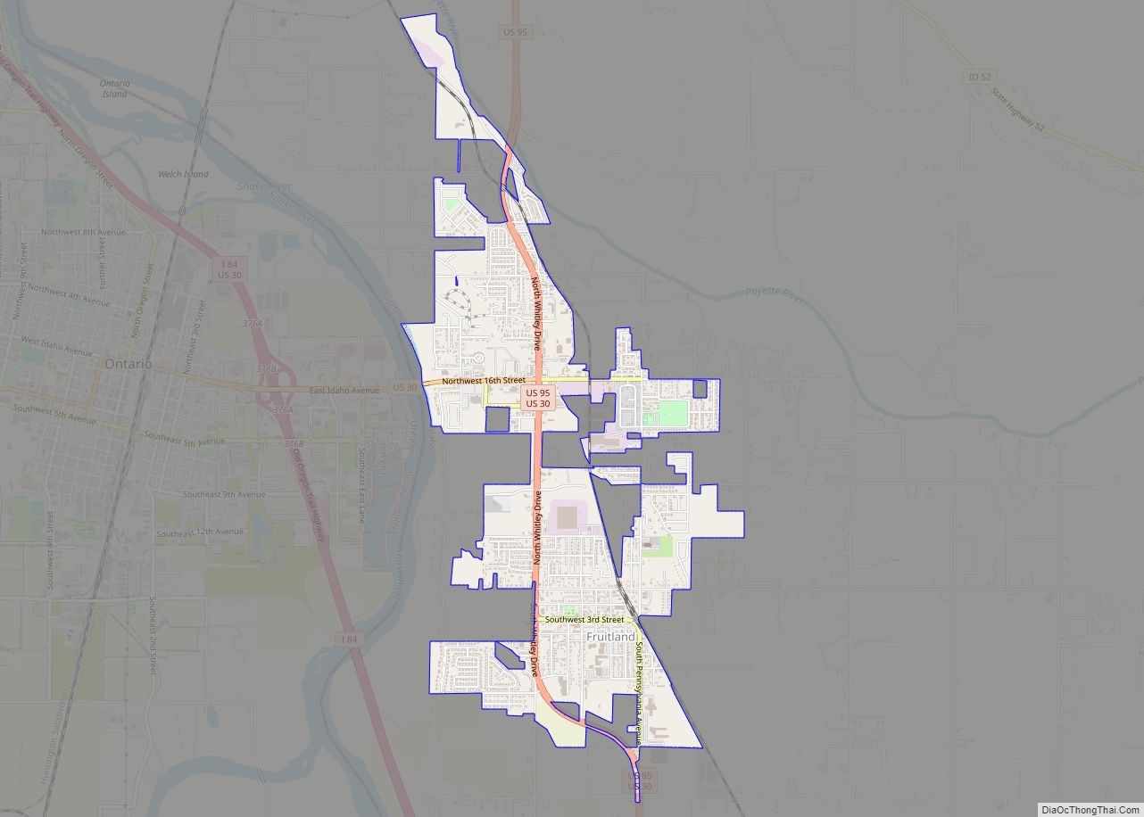
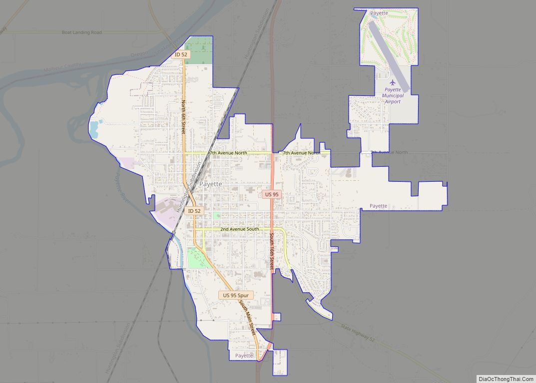
| County: | Payette County |
| Incorporated: | 1896 |
| Elevation: | 2,260 ft (690 m) |
| Total Area: | 0.69 sq mi (1.78 km²) |
| Land Area: | 0.69 sq mi (1.78 km²) |
| Water Area: | 0.00 sq mi (0.00 km²) |
| Total Population: | 1,538 |
| Population Density: | 2,258.72/sq mi (872.62/km²) |
| ZIP code: | 83655 |
| Area code: | 208, 986 |
| FIPS code: | 1656980 |
| GNISfeature ID: | 0396952 |
| Website: | www.npidaho.com |
Online Interactive Map
Click on ![]() to view map in "full screen" mode.
to view map in "full screen" mode.
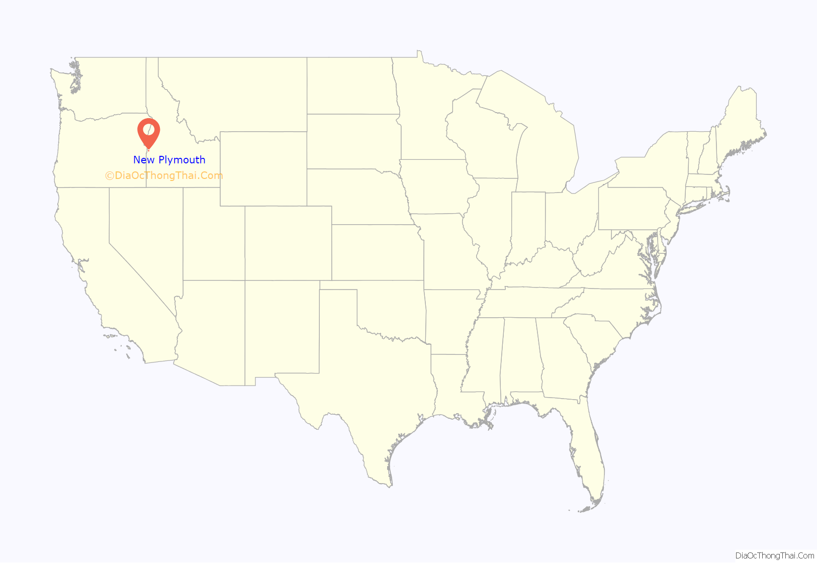
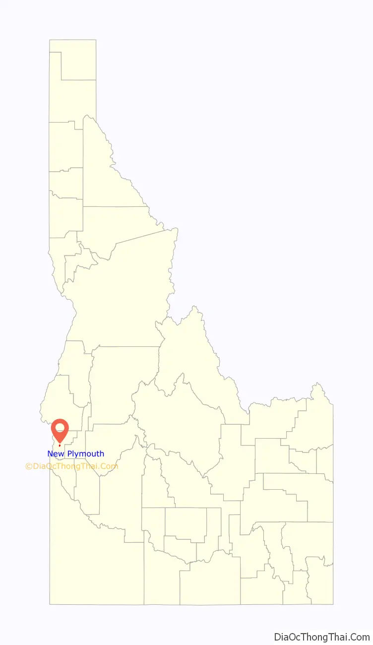
New Plymouth location map. Where is New Plymouth city?
History
New Plymouth was a colony town, bought and planned before it was settled. It was the combined project of a group of people purportedly dissatisfied with city life in Chicago, who in 1895 formed what they called “The Plymouth Society of Chicago” and William E. Smythe, who was the chairman of the executive committee of the National Irrigation Congress and a famous irrigation promoter. Mr. Smythe was determined to found a colony to serve as a striking argument in favor of his project – irrigation. He spoke throughout the east, urging young and old men to go west in colonies and develop the country with the help of irrigation. He wanted the first colony to be called New Plymouth — after Plymouth, Massachusetts — and wanted it located in southwestern Idaho in the Payette Valley, which he had found apt for his purpose because of the extraordinary water supply via the nearby Payette River.
The Plymouth Society of Chicago selected a committee to investigate the irrigated Payette River Valley in the five-year-old state of Idaho, and another site in Colorado, to be purchased for the colony. The present city of New Plymouth was on the drawing boards in Chicago, designed as a town able to be self-reliant through the use of irrigation, solidly built on an agricultural and railroad economy.
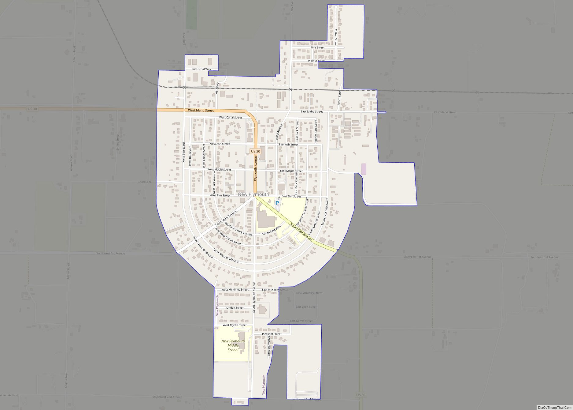
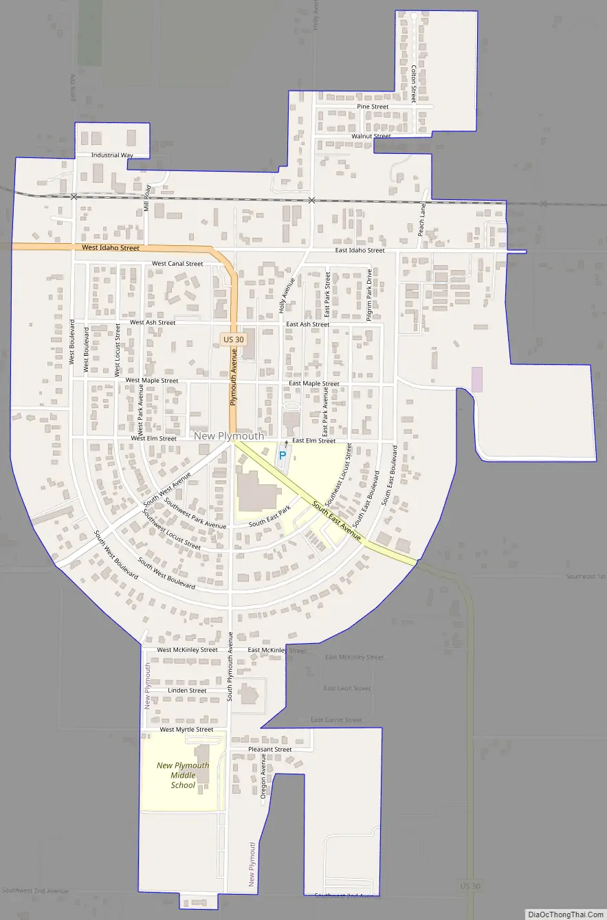
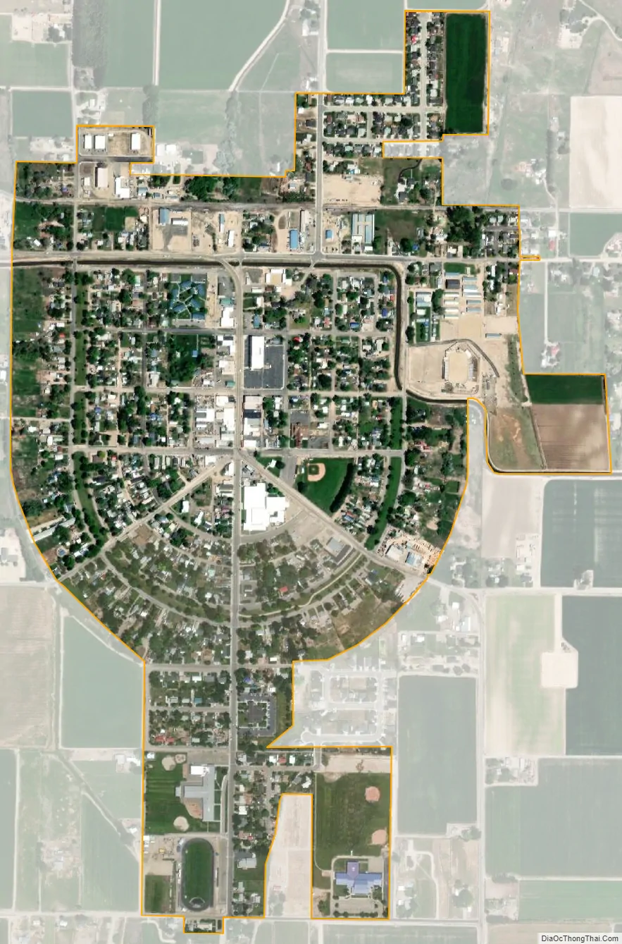
In February 1896, each colonist purchased 20 shares of stock at $30 per share, which entitled him to 20 acres (81,000 m) of land and a town lot. He was to clear the land of sagebrush and plant fruit trees, preferably apples. The town was platted with a horseshoe shape with its open end facing to the north, toward the railroad and the river. This area was planned as an industrial zone, and the acre tracts around the horseshoe were the residential lots.
The homes were to be built on the street side and the balance of the acre for garden and pasture for the family cow and the driving team. Two streets, separated by an 80-foot (24 m) park, curve around the town in a horseshoe shape. This mile-long (1.6 km) park and the streets that enclose it were called “The Boulevard.” The park was planted with grass and shade trees. Plymouth Avenue, the main street and principal business thoroughfare, was surveyed (16 feet off the section line) down the center of the horseshoe from the railroad on the north through the Boulevard on the south.
The community was at first called the New Plymouth Farm Village and was governed by a colony board of directors until it incorporated as a village in 1908, dropping the last two words in the name.
New Plymouth Road Map
New Plymouth city Satellite Map
Geography
New Plymouth is located at 43°58′14″N 116°49′14″W / 43.97056°N 116.82056°W / 43.97056; -116.82056 (43.970689, -116.820449), at an elevation of 2,260 feet (689 m) above sea level.
According to the United States Census Bureau, the city has a total area of 0.69 square miles (1.79 km), all of it land.
See also
Map of Idaho State and its subdivision:- Ada
- Adams
- Bannock
- Bear Lake
- Benewah
- Bingham
- Blaine
- Boise
- Bonner
- Bonneville
- Boundary
- Butte
- Camas
- Canyon
- Caribou
- Cassia
- Clark
- Clearwater
- Custer
- Elmore
- Franklin
- Fremont
- Gem
- Gooding
- Idaho
- Jefferson
- Jerome
- Kootenai
- Latah
- Lemhi
- Lewis
- Lincoln
- Madison
- Minidoka
- Nez Perce
- Oneida
- Owyhee
- Payette
- Power
- Shoshone
- Teton
- Twin Falls
- Valley
- Washington
- Alabama
- Alaska
- Arizona
- Arkansas
- California
- Colorado
- Connecticut
- Delaware
- District of Columbia
- Florida
- Georgia
- Hawaii
- Idaho
- Illinois
- Indiana
- Iowa
- Kansas
- Kentucky
- Louisiana
- Maine
- Maryland
- Massachusetts
- Michigan
- Minnesota
- Mississippi
- Missouri
- Montana
- Nebraska
- Nevada
- New Hampshire
- New Jersey
- New Mexico
- New York
- North Carolina
- North Dakota
- Ohio
- Oklahoma
- Oregon
- Pennsylvania
- Rhode Island
- South Carolina
- South Dakota
- Tennessee
- Texas
- Utah
- Vermont
- Virginia
- Washington
- West Virginia
- Wisconsin
- Wyoming