Post Falls is a city in Kootenai County, Idaho, between Coeur d’Alene and Spokane, Washington. It is a suburb of Coeur d’Alene, to the east, and a bedroom community to Spokane, to the west. The population was 38,485 at the time of the 2020 census, up from 17,247 in the 2000 census, making it Idaho’s tenth-largest city.
| Name: | Post Falls city |
|---|---|
| LSAD Code: | 25 |
| LSAD Description: | city (suffix) |
| State: | Idaho |
| County: | Kootenai County |
| Founded: | 1871 |
| Incorporated: | 1891 |
| Elevation: | 2,182 ft (665 m) |
| Land Area: | 15.14 sq mi (39.22 km²) |
| Water Area: | 0.03 sq mi (0.07 km²) |
| Population Density: | 2,536.9/sq mi (979.5/km²) |
| ZIP code: | 83854, 83877 |
| Area code: | 208, 986 |
| FIPS code: | 1664810 |
| GNISfeature ID: | 0397061 |
| Website: | www.postfallsidaho.org |
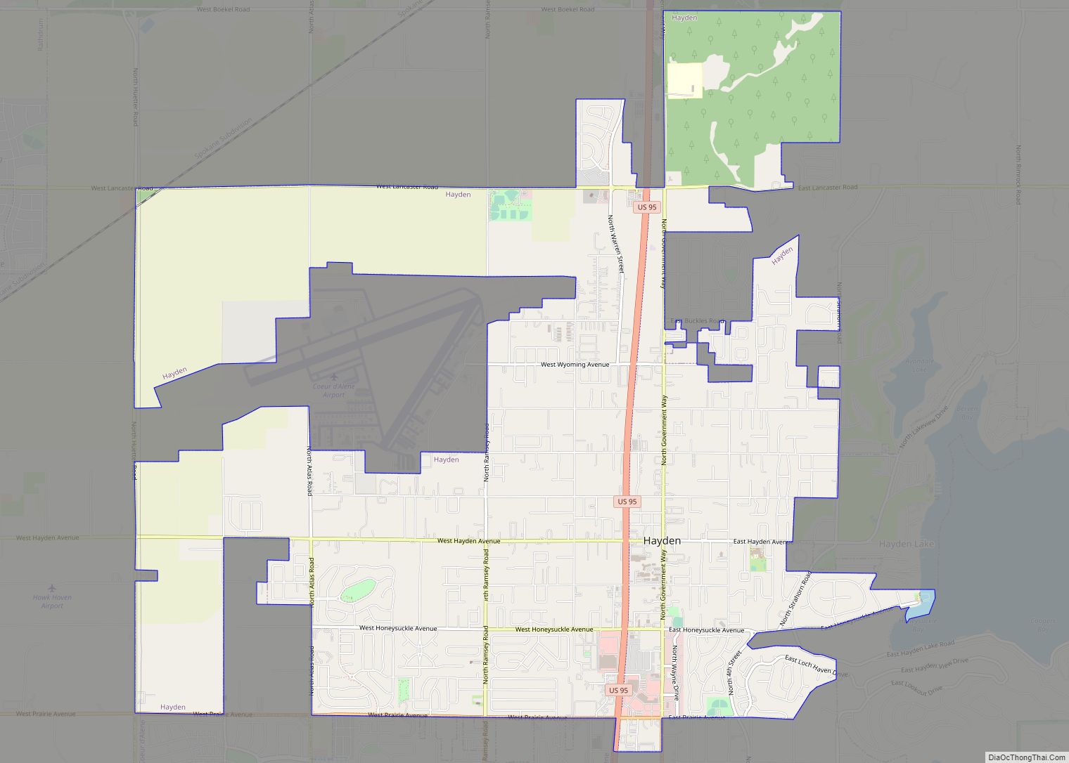
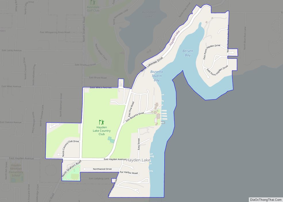
Online Interactive Map
Click on ![]() to view map in "full screen" mode.
to view map in "full screen" mode.
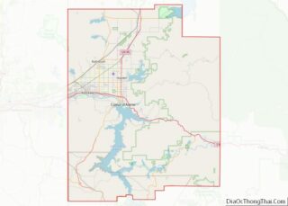
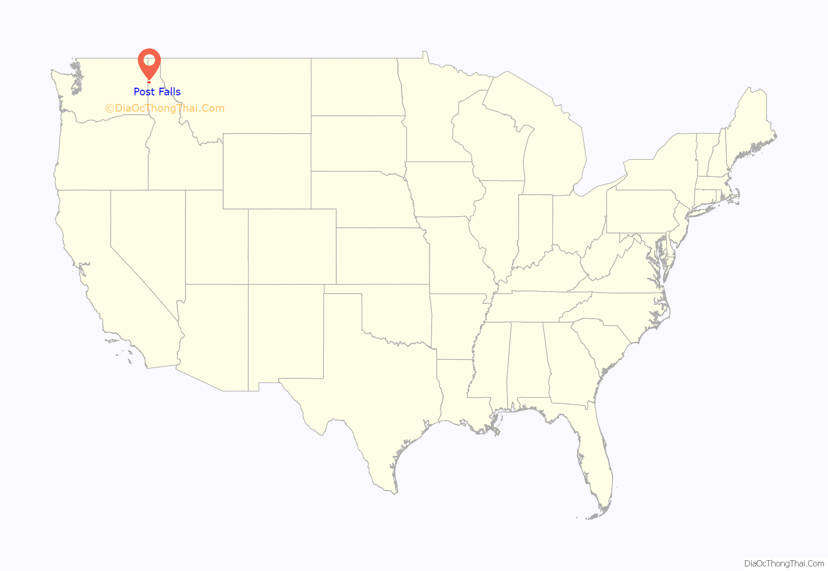
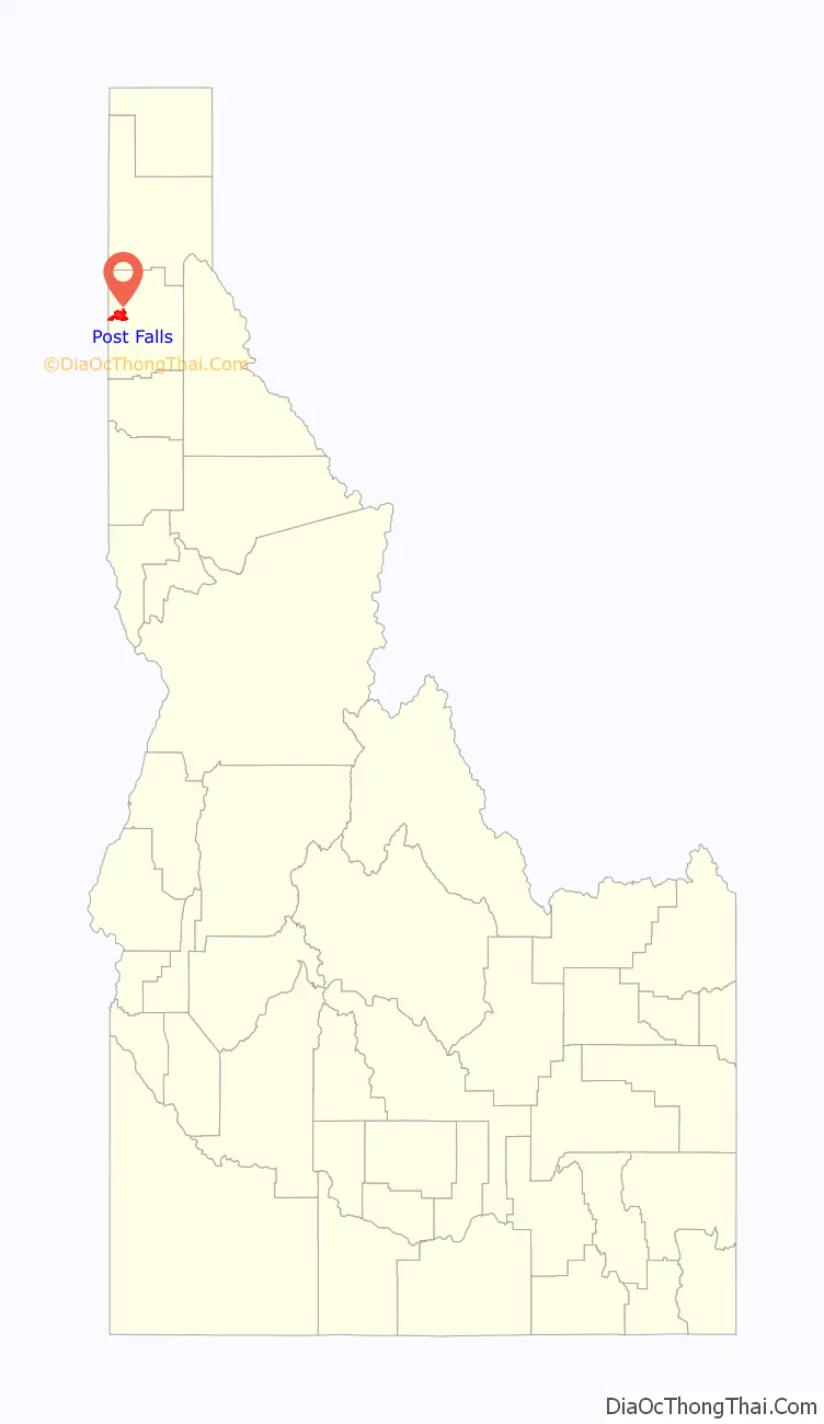
Post Falls location map. Where is Post Falls city?
History
Post Falls is named after Frederick Post, a German immigrant who constructed a lumber mill along the Spokane River in 1871 on land he purchased from Andrew Seltice, Chief of the Coeur d’Alene Tribe. The purchase of the land is preserved in a pictograph on a granite cliff in Treaty Rock Park.
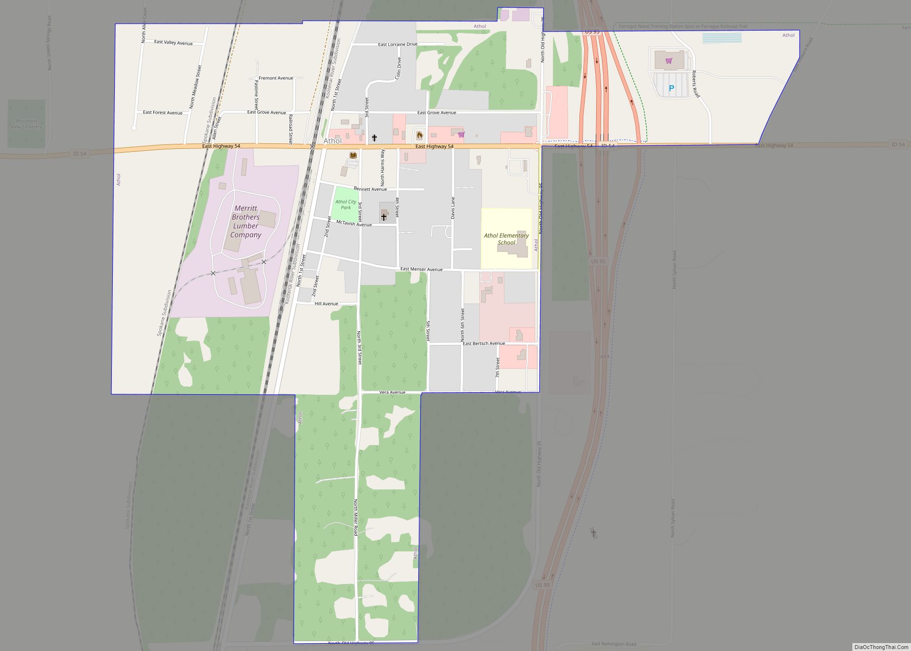
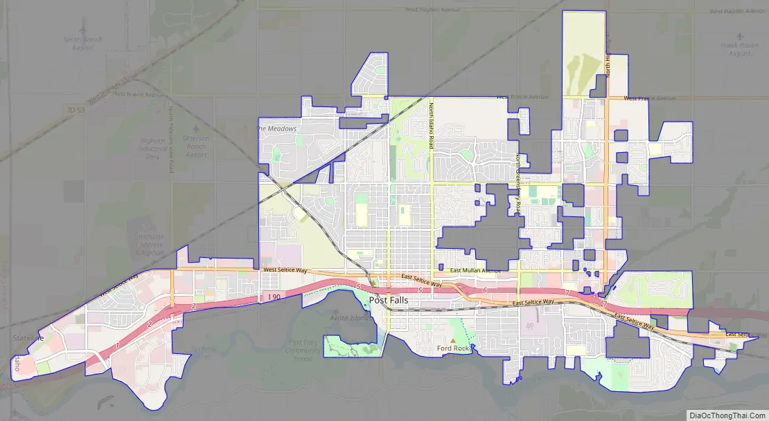
Post Falls Road Map
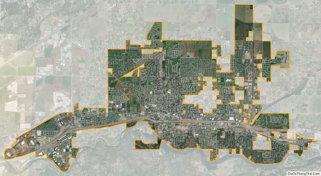
Post Falls city Satellite Map
Geography
The coordinates of Post Falls are 47°42′43″N 116°56′53″W / 47.712°N 116.948°W / 47.712; -116.948.
According to the United States Census Bureau, the city has a total area of 14.11 square miles (36.54 km), of which 14.07 square miles (36.44 km) is land and 0.04 square miles (0.10 km) is water.
Post Falls is located on the Rathdrum Prairie, along the Washington–Idaho border. It is bounded by Coeur d’Alene to the east, Stateline and the state of Washington to the west, and the Spokane River to the south. Post Falls is 20 miles (32 km) east of Spokane and approximately 100 miles (160 km) south of the Canada–United States border. The elevation of the city is 2,182 feet (665 m) above sea level.
See also
Map of Idaho State and its subdivision:- Ada
- Adams
- Bannock
- Bear Lake
- Benewah
- Bingham
- Blaine
- Boise
- Bonner
- Bonneville
- Boundary
- Butte
- Camas
- Canyon
- Caribou
- Cassia
- Clark
- Clearwater
- Custer
- Elmore
- Franklin
- Fremont
- Gem
- Gooding
- Idaho
- Jefferson
- Jerome
- Kootenai
- Latah
- Lemhi
- Lewis
- Lincoln
- Madison
- Minidoka
- Nez Perce
- Oneida
- Owyhee
- Payette
- Power
- Shoshone
- Teton
- Twin Falls
- Valley
- Washington
- Alabama
- Alaska
- Arizona
- Arkansas
- California
- Colorado
- Connecticut
- Delaware
- District of Columbia
- Florida
- Georgia
- Hawaii
- Idaho
- Illinois
- Indiana
- Iowa
- Kansas
- Kentucky
- Louisiana
- Maine
- Maryland
- Massachusetts
- Michigan
- Minnesota
- Mississippi
- Missouri
- Montana
- Nebraska
- Nevada
- New Hampshire
- New Jersey
- New Mexico
- New York
- North Carolina
- North Dakota
- Ohio
- Oklahoma
- Oregon
- Pennsylvania
- Rhode Island
- South Carolina
- South Dakota
- Tennessee
- Texas
- Utah
- Vermont
- Virginia
- Washington
- West Virginia
- Wisconsin
- Wyoming