Rathdrum is a city in Kootenai County, Idaho, United States. The population was 6,826 at the 2010 census, up from 4,816 in 2000. It is part of the Coeur d’Alene Metropolitan Statistical Area, which includes the entire county. It is named after Rathdrum in Ireland.
| Name: | Rathdrum city |
|---|---|
| LSAD Code: | 25 |
| LSAD Description: | city (suffix) |
| State: | Idaho |
| County: | Kootenai County |
| Elevation: | 2,211 ft (674 m) |
| Total Area: | 5.71 sq mi (14.80 km²) |
| Land Area: | 5.71 sq mi (14.80 km²) |
| Water Area: | 0.00 sq mi (0.00 km²) |
| Total Population: | 6,826 |
| Population Density: | 1,601.33/sq mi (618.33/km²) |
| ZIP code: | 83858 |
| Area code: | 208 |
| FIPS code: | 1666340 |
| GNISfeature ID: | 0398027 |
| Website: | www.rathdrum.org |
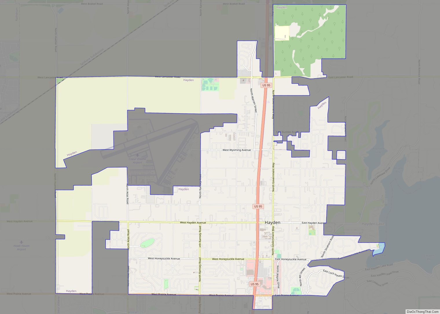
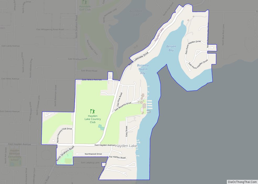
Online Interactive Map
Click on ![]() to view map in "full screen" mode.
to view map in "full screen" mode.
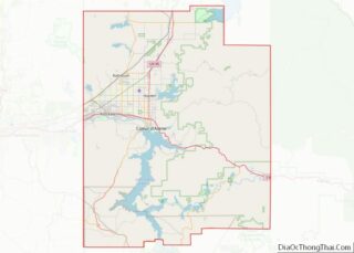
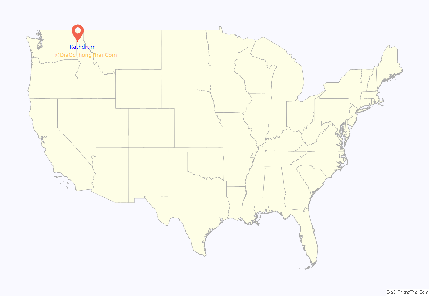
Rathdrum location map. Where is Rathdrum city?
History
In the 1800s the town was initially called Westwood in honor of one of the founders of the town, a Pony Express rider and rancher, Charles Wesley Wood, also known as “Wes.” But in 1881 the postmaster in the town was informed by the federal government that the town would need to change its name since it was already taken by another town in the territory. A local businessman, Michael M. Cowley, recommended the name “Rathdrum” from County Wicklow in Ireland, his place of birth.
Near the end of the 19th century, the Northern Pacific Railway built its line westwards to Spokane and Rathdrum started to grow slowly. Until today, Rathdrum remains on the only regular railway line in Idaho, now owned by BNSF Railway; the Empire Builder of Amtrak travels through Rathdrum without stopping there.
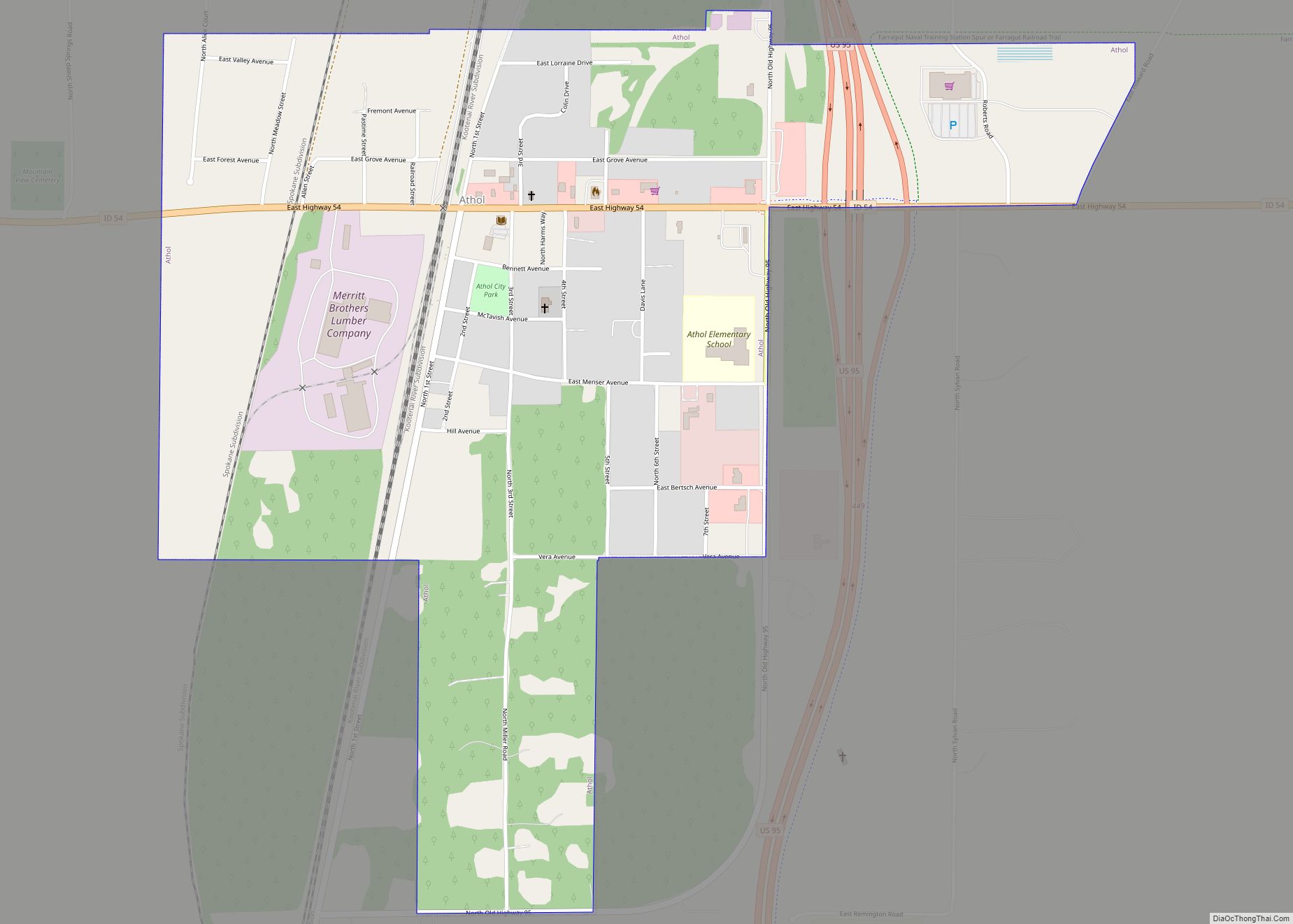
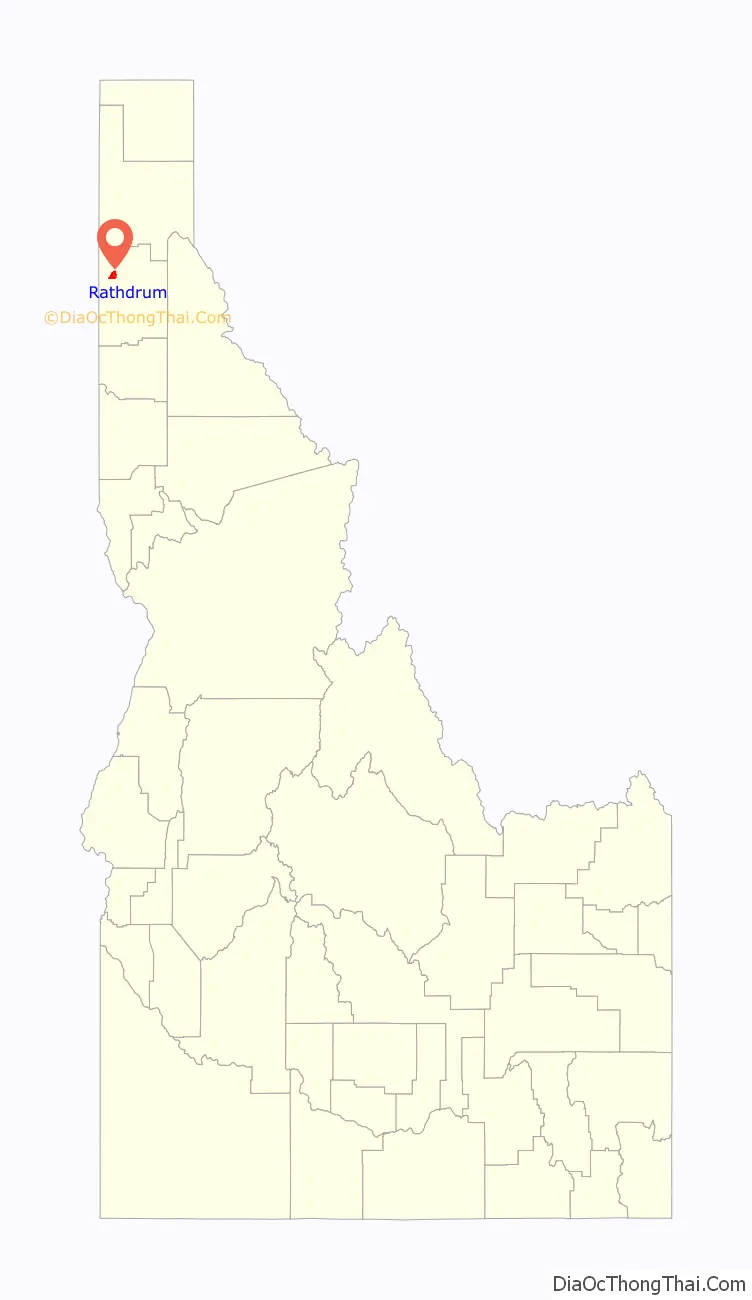
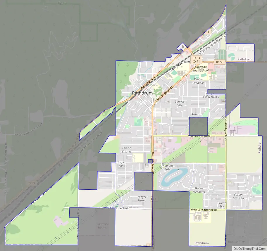
Rathdrum Road Map
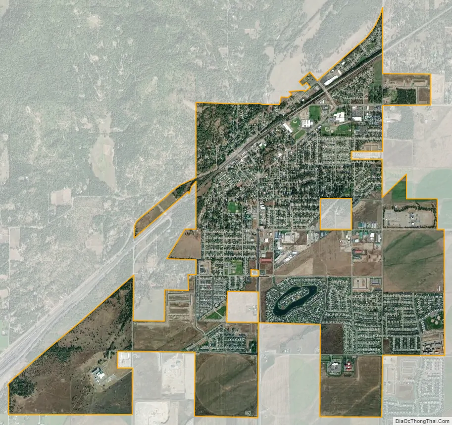
Rathdrum city Satellite Map
Geography
Rathdrum is located on the Rathdrum Prairie at 47°48′30″N 116°53′33″W / 47.80833°N 116.89250°W / 47.80833; -116.89250 (47.808457, -116.892415), at an elevation of 2,211 feet (674 m) above sea level.
According to the United States Census Bureau, the city has a total area of 4.95 square miles (12.82 km), all land.
Rathdrum is situated at the base of Rathdrum Mountain, which is part of the Selkirk Mountain Range.
See also
Map of Idaho State and its subdivision:- Ada
- Adams
- Bannock
- Bear Lake
- Benewah
- Bingham
- Blaine
- Boise
- Bonner
- Bonneville
- Boundary
- Butte
- Camas
- Canyon
- Caribou
- Cassia
- Clark
- Clearwater
- Custer
- Elmore
- Franklin
- Fremont
- Gem
- Gooding
- Idaho
- Jefferson
- Jerome
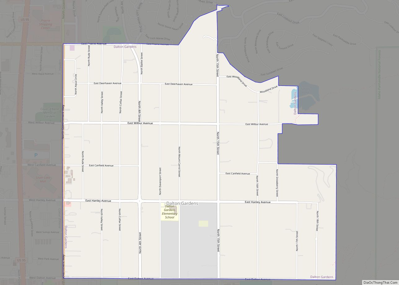
- Kootenai
- Latah
- Lemhi
- Lewis
- Lincoln
- Madison
- Minidoka
- Nez Perce
- Oneida
- Owyhee
- Payette
- Power
- Shoshone
- Teton
- Twin Falls
- Valley
- Washington
- Alabama
- Alaska
- Arizona
- Arkansas
- California
- Colorado
- Connecticut
- Delaware
- District of Columbia
- Florida
- Georgia
- Hawaii
- Idaho
- Illinois
- Indiana
- Iowa
- Kansas
- Kentucky
- Louisiana
- Maine
- Maryland
- Massachusetts
- Michigan
- Minnesota
- Mississippi
- Missouri
- Montana
- Nebraska
- Nevada
- New Hampshire
- New Jersey
- New Mexico
- New York
- North Carolina
- North Dakota
- Ohio
- Oklahoma
- Oregon
- Pennsylvania
- Rhode Island
- South Carolina
- South Dakota
- Tennessee
- Texas
- Utah
- Vermont
- Virginia
- Washington
- West Virginia
- Wisconsin
- Wyoming