Reubens is a city in Lewis County, Idaho, United States, on the Camas Prairie. The population was 71 at the 2010 census, and 72 in 2000.
| Name: | Reubens city |
|---|---|
| LSAD Code: | 25 |
| LSAD Description: | city (suffix) |
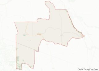
| State: | Idaho |
| County: | Lewis County |
| Elevation: | 3,527 ft (1,075 m) |
| Total Area: | 0.17 sq mi (0.44 km²) |
| Land Area: | 0.17 sq mi (0.44 km²) |
| Water Area: | 0.00 sq mi (0.00 km²) |
| Total Population: | 71 |
| Population Density: | 378.70/sq mi (146.07/km²) |
| ZIP code: | 83548 |
| Area code: | 208 |
| FIPS code: | 1667150 |
| GNISfeature ID: | 0398464 |
Online Interactive Map
Click on ![]() to view map in "full screen" mode.
to view map in "full screen" mode.
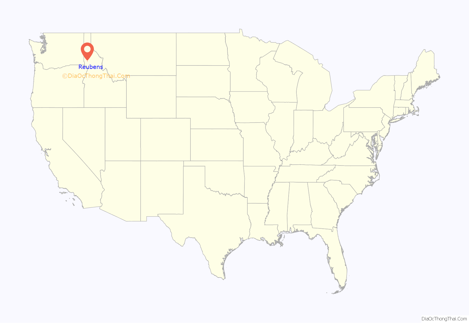
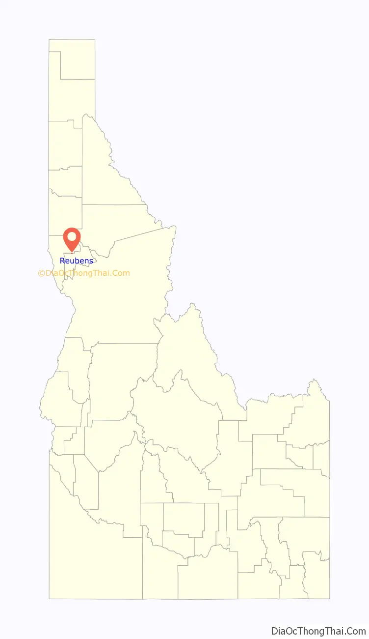
Reubens location map. Where is Reubens city?
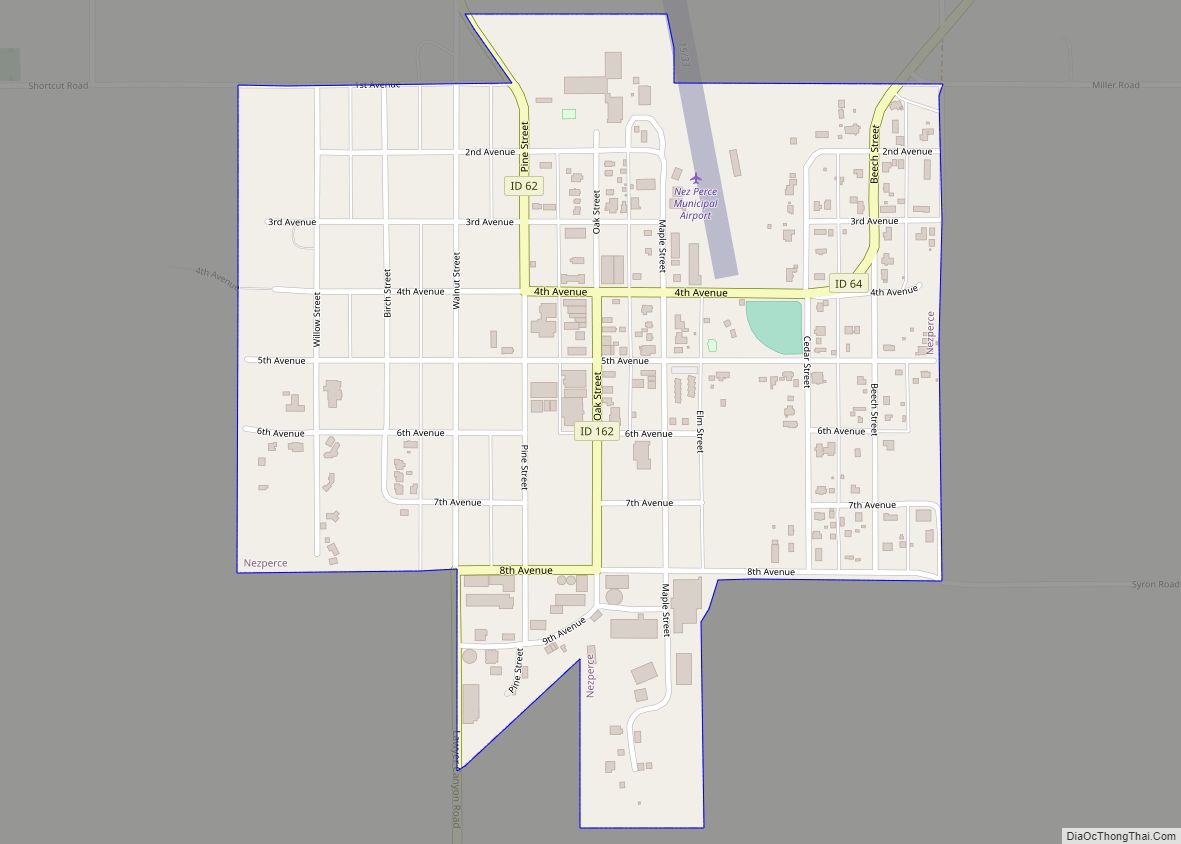
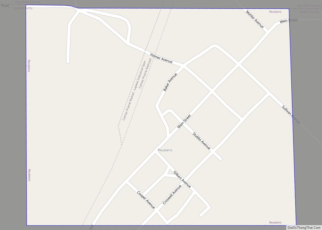
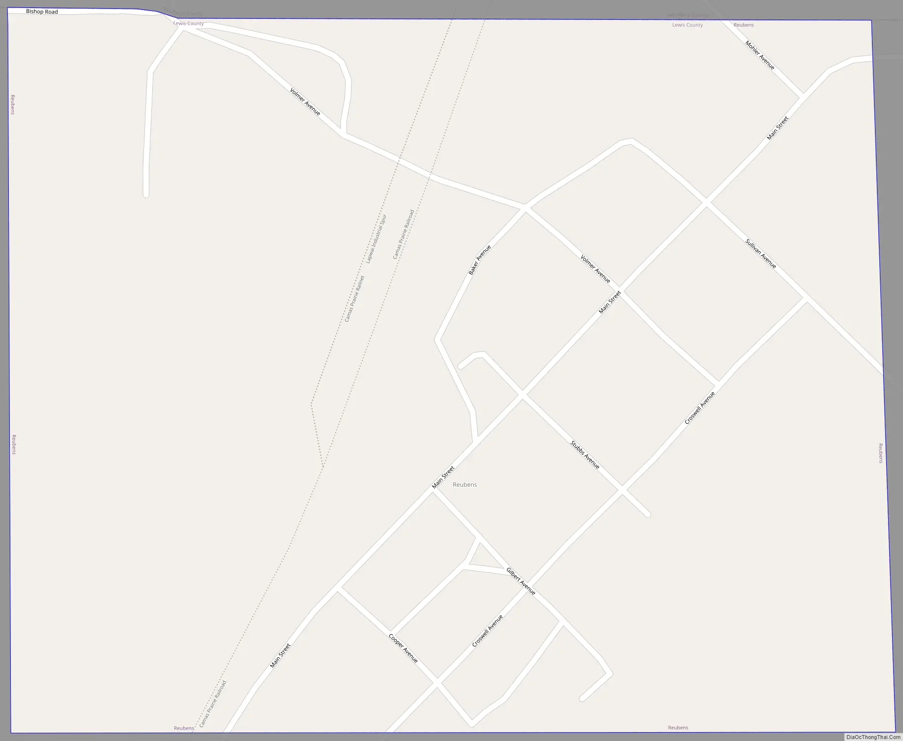
Reubens Road Map
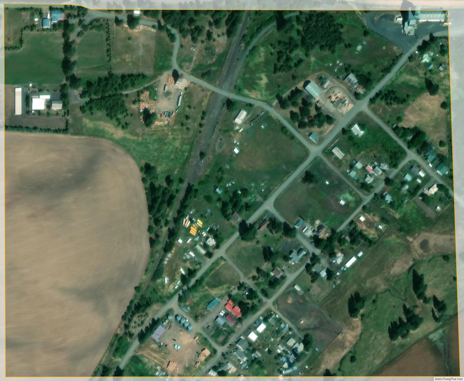
Reubens city Satellite Map
Geography
Reubens is located at 46°19′25″N 116°32′31″W / 46.32361°N 116.54194°W / 46.32361; -116.54194, at an elevation of 3,527 feet (1,075 m) above sea level.
According to the United States Census Bureau, the city has a total area of 0.29 square miles (0.75 km), all of it land.
The town is located on the northern edge of Lewis County, immediately south of the Nez Perce County line. Reubens is located on a flat, with thin and deep valleys located just over a mile to the east and west. On the west, Lapwai Creek cuts a gorge more than a thousand feet deep and carries U.S. Route 95. To the east, the valley of Big Canyon Creek reaches depths of nearly a thousand feet in the immediate vicinity of Reubens.
See also
Map of Idaho State and its subdivision:- Ada
- Adams
- Bannock
- Bear Lake
- Benewah
- Bingham
- Blaine
- Boise
- Bonner
- Bonneville
- Boundary
- Butte
- Camas
- Canyon
- Caribou
- Cassia
- Clark
- Clearwater
- Custer
- Elmore
- Franklin
- Fremont
- Gem
- Gooding
- Idaho
- Jefferson
- Jerome
- Kootenai
- Latah
- Lemhi
- Lewis
- Lincoln
- Madison
- Minidoka
- Nez Perce
- Oneida
- Owyhee
- Payette
- Power
- Shoshone
- Teton
- Twin Falls
- Valley
- Washington
- Alabama
- Alaska
- Arizona
- Arkansas
- California
- Colorado
- Connecticut
- Delaware
- District of Columbia
- Florida
- Georgia
- Hawaii
- Idaho
- Illinois
- Indiana
- Iowa
- Kansas
- Kentucky
- Louisiana
- Maine
- Maryland
- Massachusetts
- Michigan
- Minnesota
- Mississippi
- Missouri
- Montana
- Nebraska
- Nevada
- New Hampshire
- New Jersey
- New Mexico
- New York
- North Carolina
- North Dakota
- Ohio
- Oklahoma
- Oregon
- Pennsylvania
- Rhode Island
- South Carolina
- South Dakota
- Tennessee
- Texas
- Utah
- Vermont
- Virginia
- Washington
- West Virginia
- Wisconsin
- Wyoming