Rockland is a city in Power County, Idaho, United States. The population was 295 at the 2010 census.
| Name: | Rockland city |
|---|---|
| LSAD Code: | 25 |
| LSAD Description: | city (suffix) |
| State: | Idaho |
| County: | Power County |
| Elevation: | 4,649 ft (1,417 m) |
| Total Area: | 0.28 sq mi (0.73 km²) |
| Land Area: | 0.28 sq mi (0.73 km²) |
| Water Area: | 0.00 sq mi (0.00 km²) |
| Total Population: | 295 |
| Population Density: | 1,010.71/sq mi (389.73/km²) |
| ZIP code: | 83271 |
| Area code: | 208, 986 |
| FIPS code: | 1669130 |
| GNISfeature ID: | 0398061 |
Online Interactive Map
Click on ![]() to view map in "full screen" mode.
to view map in "full screen" mode.
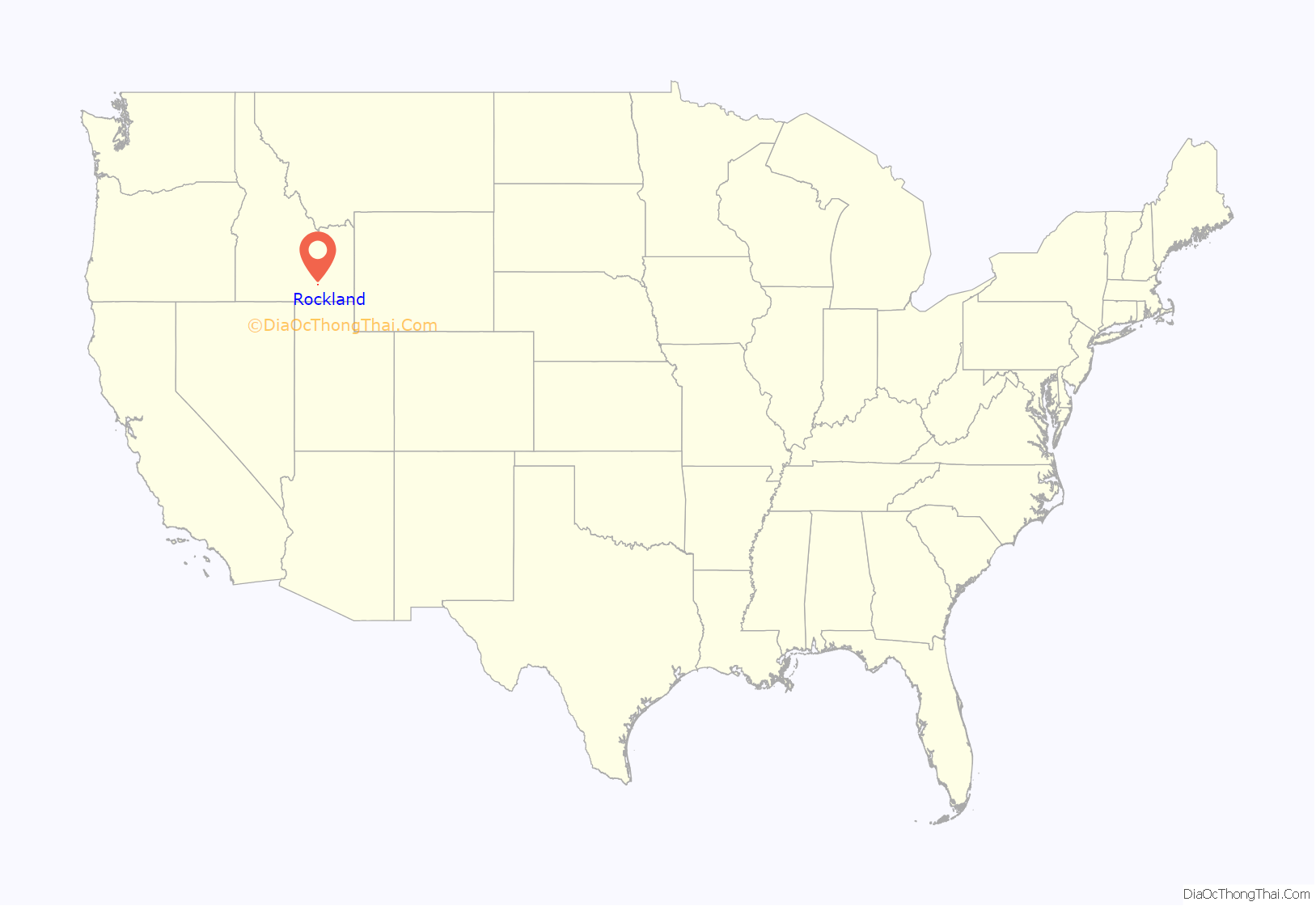
Rockland location map. Where is Rockland city?
History
Rockland claims its founding in 1879, 11 years before Idaho achieved its statehood in 1890. The Rockland Valley was traveled by trappers before its founding, but its first permanent settlers entered the valley in 1878. At that time, Hildalgo Guadelupe Valdez herded his cattle into the valley and chose the valley as his home. In efforts to establish his home he dug a ditch from the East Fork Creek as means to irrigate his 30 acres of land. Thus, he was granted his “Water Right” on Feb. 15, 1879. Not only was he the first settler in the valley, but also the first irrigated farmer in the valley.
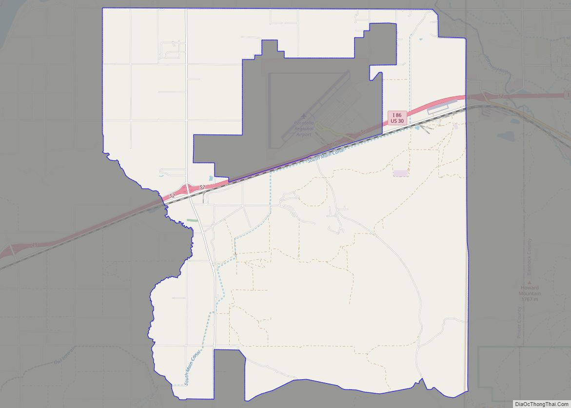
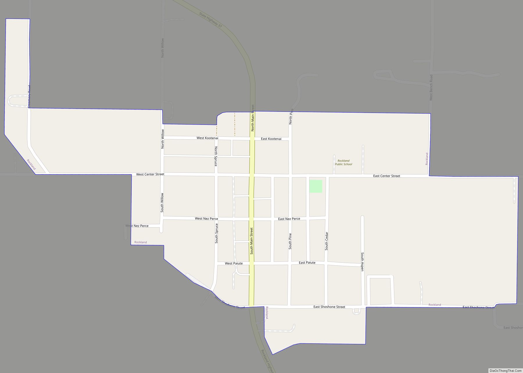
Rockland Road Map
Rockland city Satellite Map
Geography
Rockland is located at 42°34′24″N 112°52′35″W / 42.57333°N 112.87639°W / 42.57333; -112.87639 (42.573469, -112.876344). Rockland is named after Rock Creek which flows north west into the Snake River.
According to the United States Census Bureau, the city has a total area of 0.30 square miles (0.78 km), all of it land.
See also
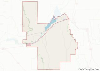
Map of Idaho State and its subdivision:- Ada
- Adams
- Bannock
- Bear Lake
- Benewah
- Bingham
- Blaine
- Boise
- Bonner
- Bonneville
- Boundary
- Butte
- Camas
- Canyon
- Caribou
- Cassia
- Clark
- Clearwater
- Custer
- Elmore
- Franklin
- Fremont
- Gem
- Gooding
- Idaho
- Jefferson
- Jerome
- Kootenai
- Latah
- Lemhi
- Lewis
- Lincoln
- Madison
- Minidoka
- Nez Perce
- Oneida
- Owyhee
- Payette
- Power
- Shoshone
- Teton
- Twin Falls
- Valley
- Washington
- Alabama
- Alaska
- Arizona
- Arkansas
- California
- Colorado
- Connecticut
- Delaware
- District of Columbia
- Florida
- Georgia
- Hawaii
- Idaho
- Illinois
- Indiana
- Iowa
- Kansas
- Kentucky
- Louisiana
- Maine
- Maryland
- Massachusetts
- Michigan
- Minnesota
- Mississippi
- Missouri
- Montana
- Nebraska
- Nevada
- New Hampshire
- New Jersey
- New Mexico
- New York
- North Carolina
- North Dakota
- Ohio
- Oklahoma
- Oregon
- Pennsylvania
- Rhode Island
- South Carolina
- South Dakota
- Tennessee
- Texas
- Utah
- Vermont
- Virginia
- Washington
- West Virginia
- Wisconsin
- Wyoming
