Sugar City is a city in Madison County, Idaho, United States. The population was 1,715 at the 2020 census, up from 1,514 in 2010. It is part of the Rexburg Micropolitan Statistical Area.
| Name: | Sugar City city |
|---|---|
| LSAD Code: | 25 |
| LSAD Description: | city (suffix) |
| State: | Idaho |
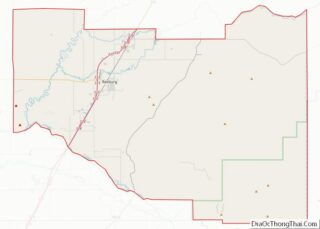
| County: | Madison County |
| Elevation: | 4,895 ft (1,492 m) |
| Total Area: | 1.99 sq mi (5.16 km²) |
| Land Area: | 1.98 sq mi (5.14 km²) |
| Water Area: | 0.01 sq mi (0.02 km²) |
| Total Population: | 1,715 |
| Population Density: | 864.42/sq mi (333.75/km²) |
| ZIP code: | 83448 |
| Area code: | 208, 986 |
| FIPS code: | 1678040 |
| GNISfeature ID: | 0397220 |
| Website: | www.sugarcityidaho.gov |
Online Interactive Map
Click on ![]() to view map in "full screen" mode.
to view map in "full screen" mode.
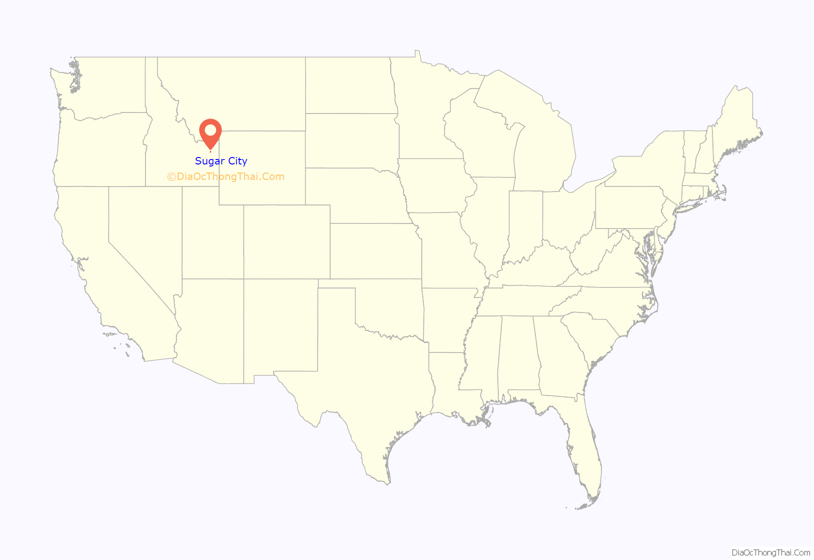
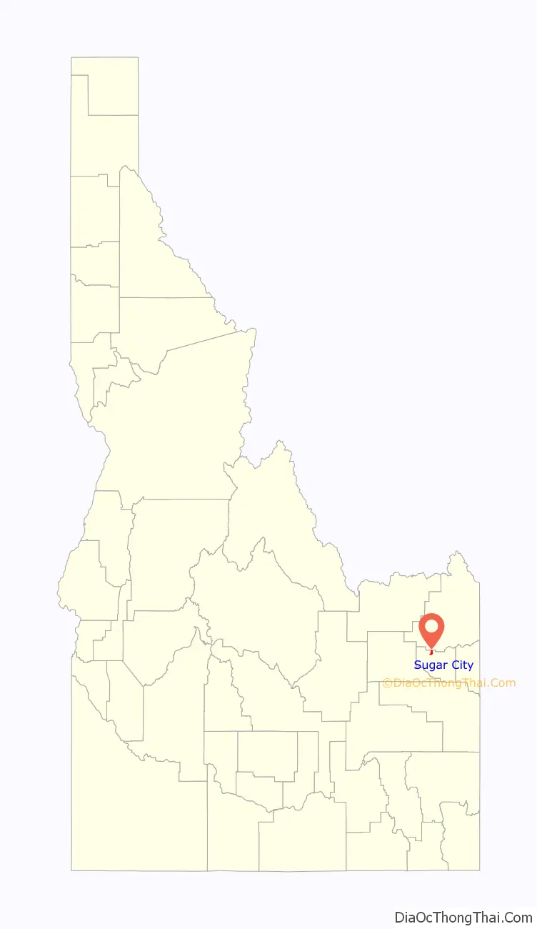
Sugar City location map. Where is Sugar City city?
History
Sugar City was a company town for the Fremont County Sugar Company, which was part of the Utah-Idaho Sugar Company, supporting a sugar beet processing factory built in 1903–1904. Since it was created to support the factory, construction workers and early factory families were housed in tents, leading to the nickname “Rag Town”. By 1904, the town consisted of 35 houses, two stores, a hotel, an opera house, several boarding houses, two lumber yards, a meat market, and a schoolhouse. The first Mormon ward was the Sugar City Ward, with Bishop Mark Austin. One of his counselors was James Malone, a construction engineer for E. H. Dyer, who was not a Mormon.
In early years the factory had a labor shortage, leading to a local community of Nikkei—Japanese migrants and their descendants.
The city was flooded by the waters of the Teton Dam collapse on June 5, 1976.
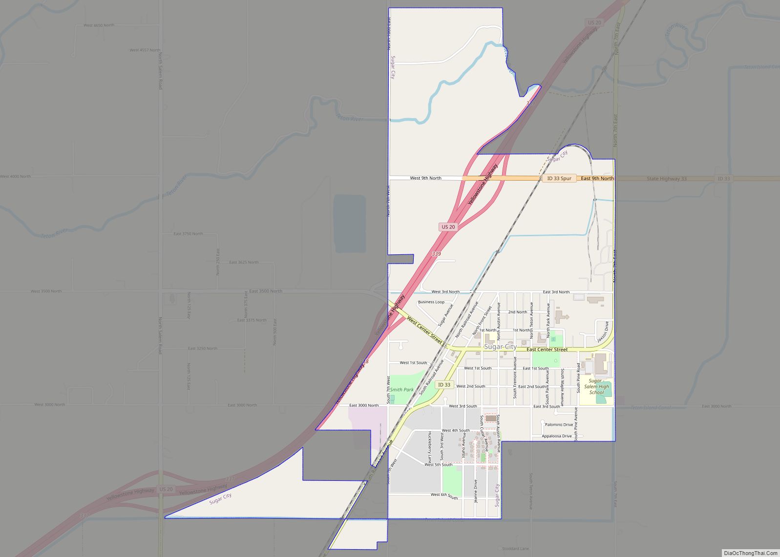
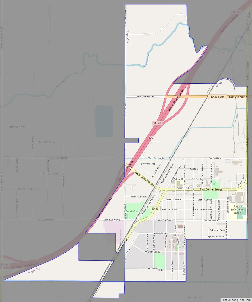
Sugar City Road Map
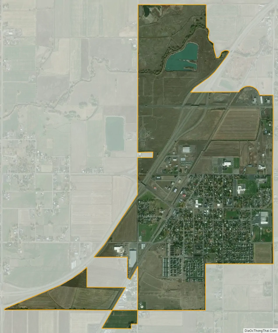
Sugar City city Satellite Map
Geography
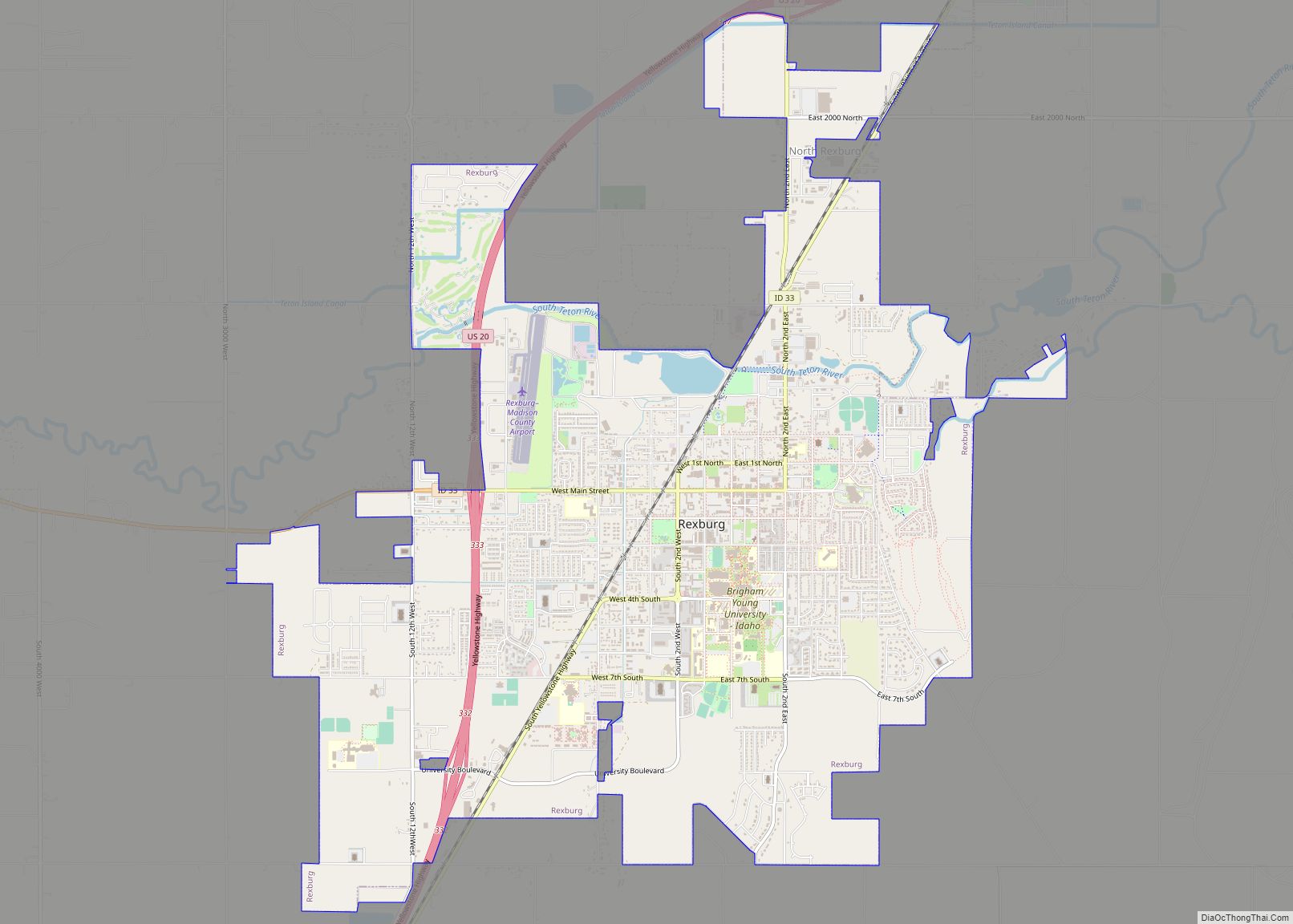
Sugar City is located in northern Madison County at 43°52′20″N 111°44′50″W / 43.87222°N 111.74722°W / 43.87222; -111.74722 (43.872317, -111.747331), at an elevation of 4,895 feet (1,492 m) above sea level. U.S. Route 20 runs along the western edge of the city, leading southwest 5 miles (8 km) to Rexburg and northeast 7 miles (11 km) to St. Anthony. Idaho State Highway 33 runs through the center of Sugar City, leading southwest 4.5 miles (7 km) to the center of Rexburg and east the same distance to Teton.
According to the United States Census Bureau, the city has a total area of 2.0 square miles (5.2 km), of which 0.01 square miles (0.03 km), or 0.50%, are water.
See also
Map of Idaho State and its subdivision:- Ada
- Adams
- Bannock
- Bear Lake
- Benewah
- Bingham
- Blaine
- Boise
- Bonner
- Bonneville
- Boundary
- Butte
- Camas
- Canyon
- Caribou
- Cassia
- Clark
- Clearwater
- Custer
- Elmore
- Franklin
- Fremont
- Gem
- Gooding
- Idaho
- Jefferson
- Jerome
- Kootenai
- Latah
- Lemhi
- Lewis
- Lincoln
- Madison
- Minidoka
- Nez Perce
- Oneida
- Owyhee
- Payette
- Power
- Shoshone
- Teton
- Twin Falls
- Valley
- Washington
- Alabama
- Alaska
- Arizona
- Arkansas
- California
- Colorado
- Connecticut
- Delaware
- District of Columbia
- Florida
- Georgia
- Hawaii
- Idaho
- Illinois
- Indiana
- Iowa
- Kansas
- Kentucky
- Louisiana
- Maine
- Maryland
- Massachusetts
- Michigan
- Minnesota
- Mississippi
- Missouri
- Montana
- Nebraska
- Nevada
- New Hampshire
- New Jersey
- New Mexico
- New York
- North Carolina
- North Dakota
- Ohio
- Oklahoma
- Oregon
- Pennsylvania
- Rhode Island
- South Carolina
- South Dakota
- Tennessee
- Texas
- Utah
- Vermont
- Virginia
- Washington
- West Virginia
- Wisconsin
- Wyoming