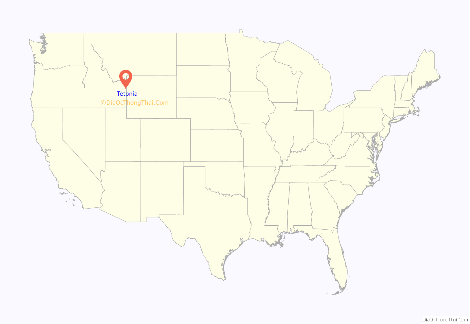
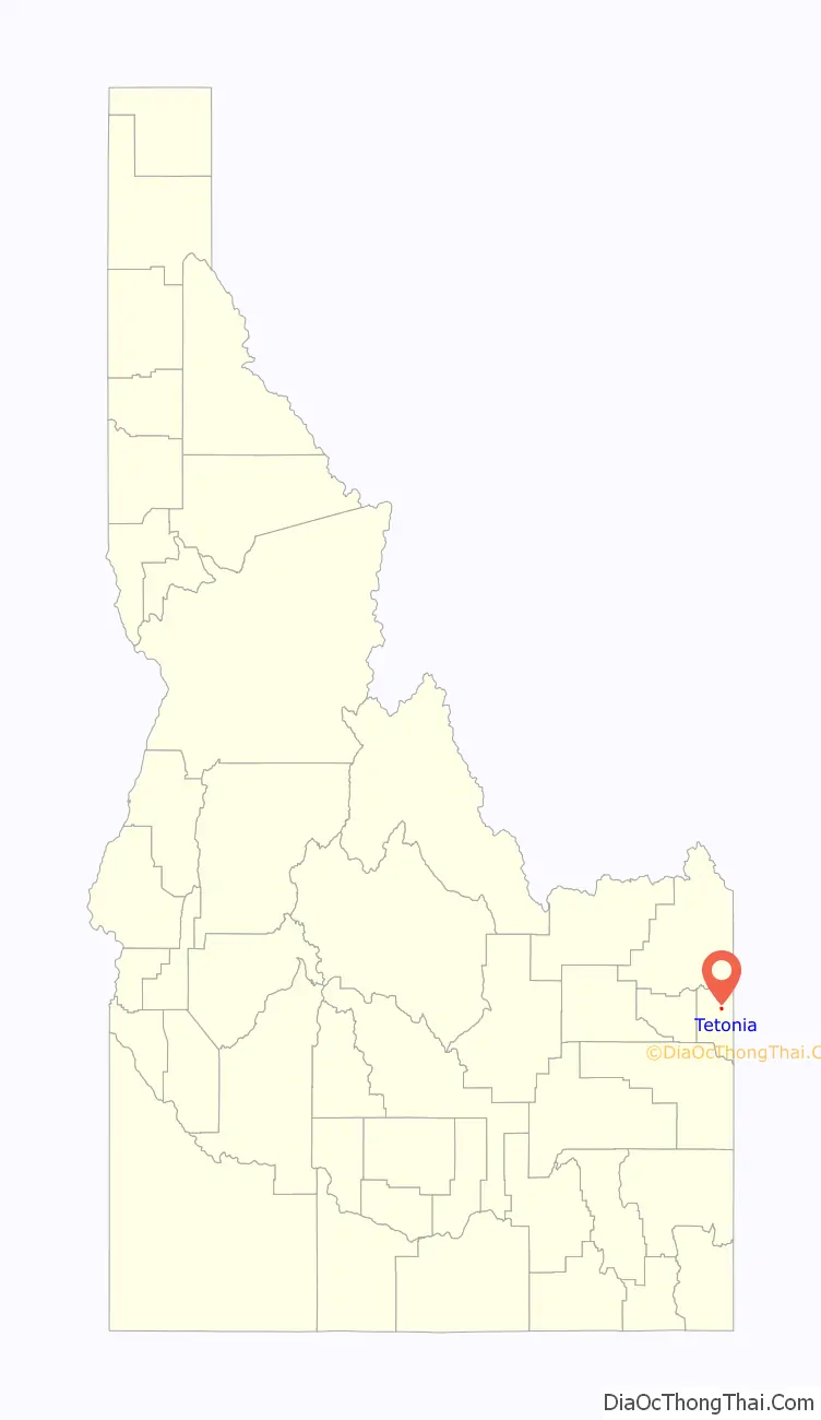
Tetonia is a city in Teton County, Idaho, United States, about 50 miles (80 km) northeast of Idaho Falls, Idaho (center to center) and about 425 miles (684 km) northwest of Denver, Colorado. The population was 269 at the 2010 census.
| Name: | Tetonia city |
|---|---|
| LSAD Code: | 25 |
| LSAD Description: | city (suffix) |
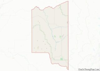
| State: | Idaho |
| County: | Teton County |
| Elevation: | 6,047 ft (1,843 m) |
| Total Area: | 0.57 sq mi (1.47 km²) |
| Land Area: | 0.57 sq mi (1.47 km²) |
| Water Area: | 0.00 sq mi (0.00 km²) |
| Total Population: | 269 |
| Population Density: | 507.04/sq mi (195.61/km²) |
| ZIP code: | 83424, 83452 |
| Area code: | 208, 986 |
| FIPS code: | 1680470 |
| GNISfeature ID: | 0398229 |
| Website: | tetoniaidaho.com |
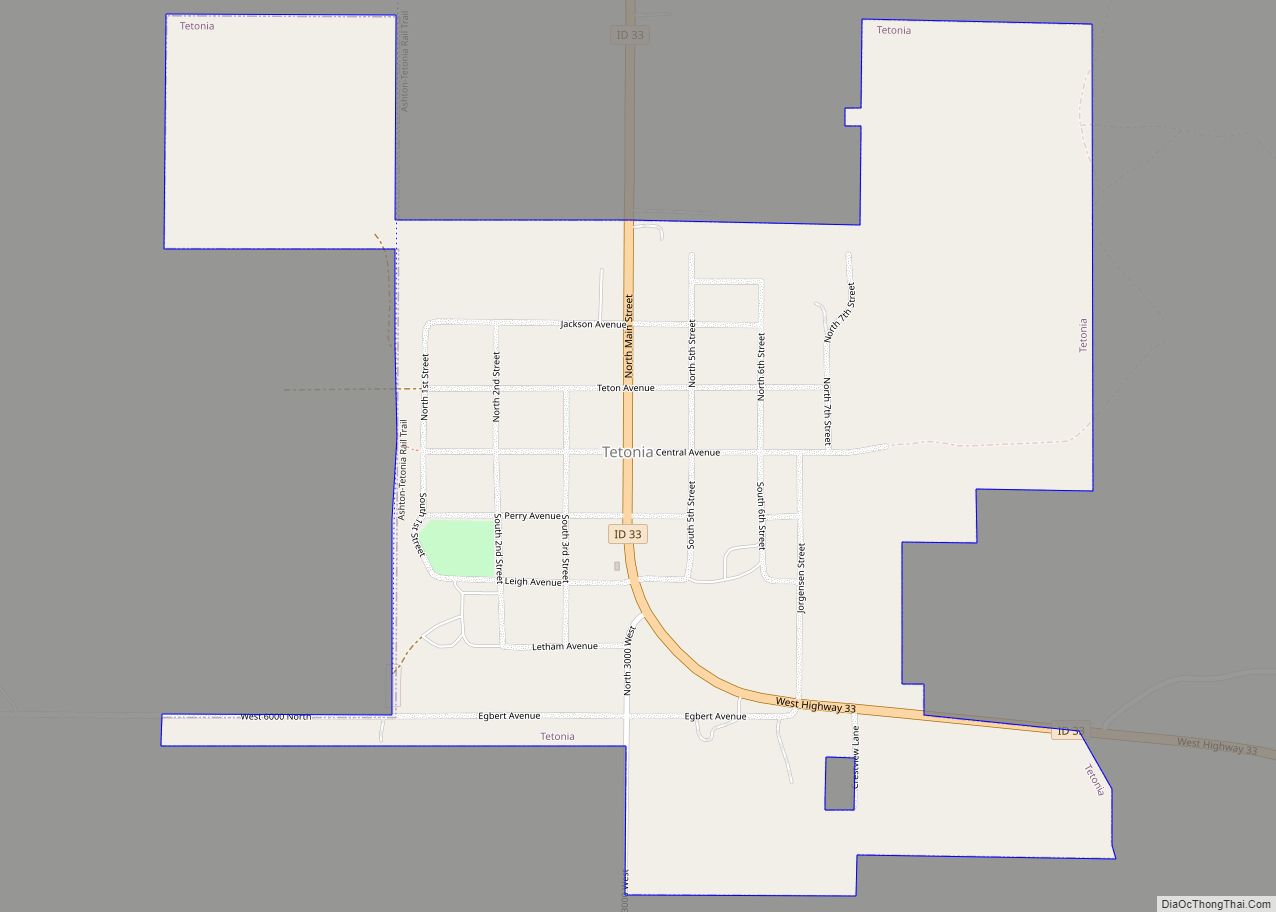
Online Interactive Map
Click on ![]() to view map in "full screen" mode.
to view map in "full screen" mode.
Tetonia location map. Where is Tetonia city?
History
Tetonia was established as an agricultural town in the late 19th century, taking its name from the nearby Teton Range. Many of the businesses previously operating in Haden relocated to Tetonia following the arrival of the Union Pacific railroad.
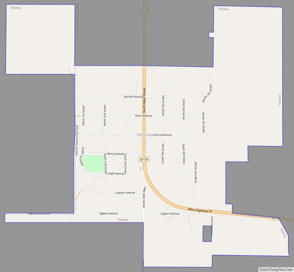
Tetonia Road Map
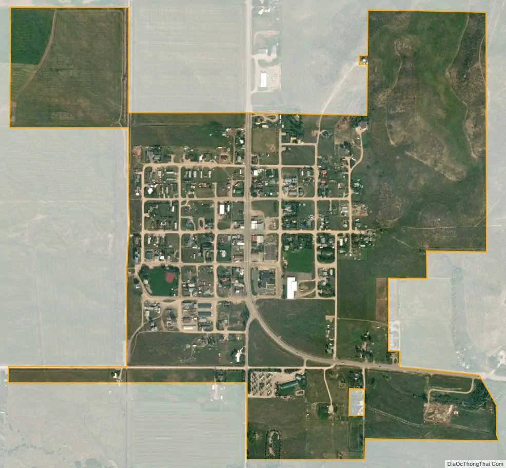
Tetonia city Satellite Map
Geography
According to the United States Census Bureau, the city has a total area of 0.57 square miles (1.48 km), all land. Tetonia is located at 43°48′50″N 111°9′35″W, in Teton County Idaho.
See also
Map of Idaho State and its subdivision:- Ada
- Adams
- Bannock
- Bear Lake
- Benewah
- Bingham
- Blaine
- Boise
- Bonner
- Bonneville
- Boundary
- Butte
- Camas
- Canyon
- Caribou
- Cassia
- Clark
- Clearwater
- Custer
- Elmore
- Franklin
- Fremont
- Gem
- Gooding
- Idaho
- Jefferson
- Jerome
- Kootenai
- Latah
- Lemhi
- Lewis
- Lincoln
- Madison
- Minidoka
- Nez Perce
- Oneida
- Owyhee
- Payette
- Power
- Shoshone
- Teton
- Twin Falls
- Valley
- Washington
- Alabama
- Alaska
- Arizona
- Arkansas
- California
- Colorado
- Connecticut
- Delaware
- District of Columbia
- Florida
- Georgia
- Hawaii
- Idaho
- Illinois
- Indiana
- Iowa
- Kansas
- Kentucky
- Louisiana
- Maine
- Maryland
- Massachusetts
- Michigan
- Minnesota
- Mississippi
- Missouri
- Montana
- Nebraska
- Nevada
- New Hampshire
- New Jersey
- New Mexico
- New York
- North Carolina
- North Dakota
- Ohio
- Oklahoma
- Oregon
- Pennsylvania
- Rhode Island
- South Carolina
- South Dakota
- Tennessee
- Texas
- Utah
- Vermont
- Virginia
- Washington
- West Virginia
- Wisconsin
- Wyoming