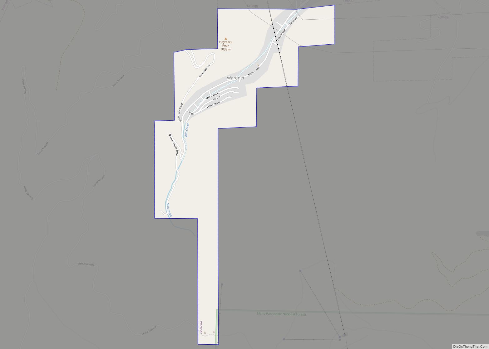
Wardner is a city in Shoshone County, Idaho, United States. Located in the Silver Valley mining region, the population was 188 at the 2010 census, down from 215 in 2000.
| Name: | Wardner city |
|---|---|
| LSAD Code: | 25 |
| LSAD Description: | city (suffix) |
| State: | Idaho |
| County: | Shoshone County |
| Elevation: | 2,657 ft (810 m) |
| Total Area: | 0.87 sq mi (2.26 km²) |
| Land Area: | 0.87 sq mi (2.26 km²) |
| Water Area: | 0.00 sq mi (0.00 km²) |
| Total Population: | 188 |
| Population Density: | 201.83/sq mi (77.95/km²) |
| ZIP code: | 83837 |
| Area code: | 208, 986 |
| FIPS code: | 1685240 |
| GNISfeature ID: | 0400161 |
| Website: | www.wardner.id.gov |
Online Interactive Map
Click on ![]() to view map in "full screen" mode.
to view map in "full screen" mode.
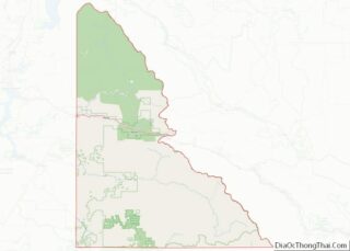
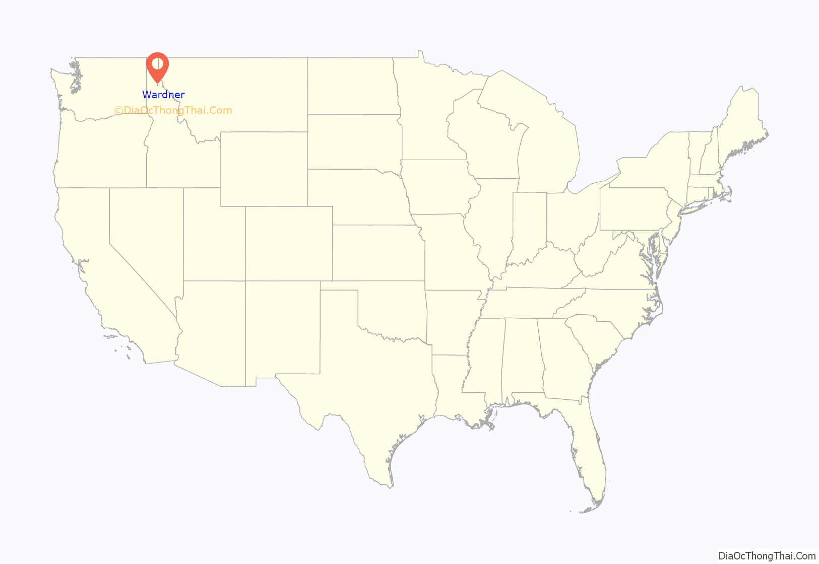
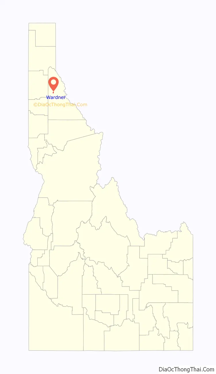
Wardner location map. Where is Wardner city?
History
The city was named for Joe or Jim Wardner, an early promoter of the Bunker Hill and Sullivan mine in the 1880s and a seller of corner lots in the city. Born in Wisconsin in 1846, he held various occupations in Arizona, California, Utah, Wisconsin, South Dakota, and Washington state. After his time in the Silver Valley of Idaho, he followed the mining booms to South Africa, British Columbia, and the Klondike; he published his autobiography in 1900 and died in El Paso, Texas in 1905.
In 1892, and again in 1899, angry union miners converged on the Bunker Hill mine during confrontations with mine owners.
Hard rock miners in Shoshone County protested wage cuts with a strike in 1892. After several lost their lives in a shooting war provoked by discovery of a company spy, the U.S. army forced an end to the strike. Hostilities erupted once again in 1899 when, in response to the company firing seventeen men for joining the union, the miners dynamited the Bunker Hill & Sullivan mill. Again, lives were lost, and the army intervened.
The gondola for the Silver Mountain ski resort passes over the town.
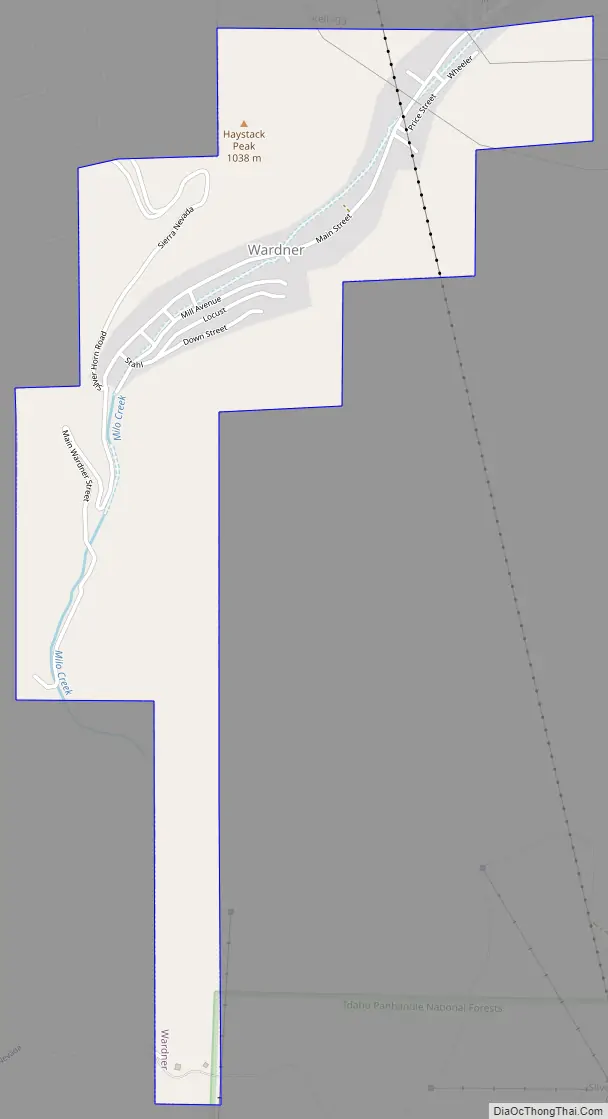
Wardner Road Map
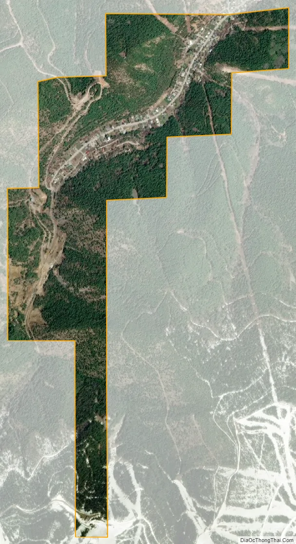
Wardner city Satellite Map
Geography
Wardner is located at 47°31′23″N 116°8′3″W / 47.52306°N 116.13417°W / 47.52306; -116.13417 (47.523164, -116.134190), at an elevation of 2,657 feet (810 m) above sea level.
According to the United States Census Bureau, the city has a total area of 0.86 square miles (2.23 km), all of it land.
See also
Map of Idaho State and its subdivision:- Ada
- Adams
- Bannock
- Bear Lake
- Benewah
- Bingham
- Blaine
- Boise
- Bonner
- Bonneville
- Boundary
- Butte
- Camas
- Canyon
- Caribou
- Cassia
- Clark
- Clearwater
- Custer
- Elmore
- Franklin
- Fremont
- Gem
- Gooding
- Idaho
- Jefferson
- Jerome
- Kootenai
- Latah
- Lemhi
- Lewis
- Lincoln
- Madison
- Minidoka
- Nez Perce
- Oneida
- Owyhee
- Payette
- Power
- Shoshone
- Teton
- Twin Falls
- Valley
- Washington
- Alabama
- Alaska
- Arizona
- Arkansas
- California
- Colorado
- Connecticut
- Delaware
- District of Columbia
- Florida
- Georgia
- Hawaii
- Idaho
- Illinois
- Indiana
- Iowa
- Kansas
- Kentucky
- Louisiana
- Maine
- Maryland
- Massachusetts
- Michigan
- Minnesota
- Mississippi
- Missouri
- Montana
- Nebraska
- Nevada
- New Hampshire
- New Jersey
- New Mexico
- New York
- North Carolina
- North Dakota
- Ohio
- Oklahoma
- Oregon
- Pennsylvania
- Rhode Island
- South Carolina
- South Dakota
- Tennessee
- Texas
- Utah
- Vermont
- Virginia
- Washington
- West Virginia
- Wisconsin
- Wyoming