Brandywine is the name of an unincorporated area in Prince George’s County, Maryland, United States, that refers both to a census-designated place (CDP) and a zip code area which is much larger (20613), whose areas overlap. The population of Brandywine at the 2020 U.S. Census was 10,550 for the CDP, and the population of ZIP code 20613 was 11,860 in 2010.
Brandywine is in the southernmost area of Prince George’s County, surrounded by a rural setting. It is in the Southern Maryland region. Brandywine is also a suburb of two cities: it lies within the outer suburban Washington D.C. area and is also a close suburb of Waldorf.
| Name: | Brandywine CDP |
|---|---|
| LSAD Code: | 57 |
| LSAD Description: | CDP (suffix) |
| State: | Maryland |
| County: | Prince George’s County |
| Elevation: | 220 ft (67 m) |
| Total Area: | 21.12 sq mi (54.70 km²) |
| Land Area: | 21.04 sq mi (54.49 km²) |
| Water Area: | 0.08 sq mi (0.20 km²) |
| Total Population: | 10,550 |
| Population Density: | 501.43/sq mi (193.60/km²) |
| ZIP code: | 20613 |
| Area code: | 301, 240 |
| FIPS code: | 2409325 |
| GNISfeature ID: | 0597115 |
| Website: | www.brandywinemd.com |
Online Interactive Map
Click on ![]() to view map in "full screen" mode.
to view map in "full screen" mode.
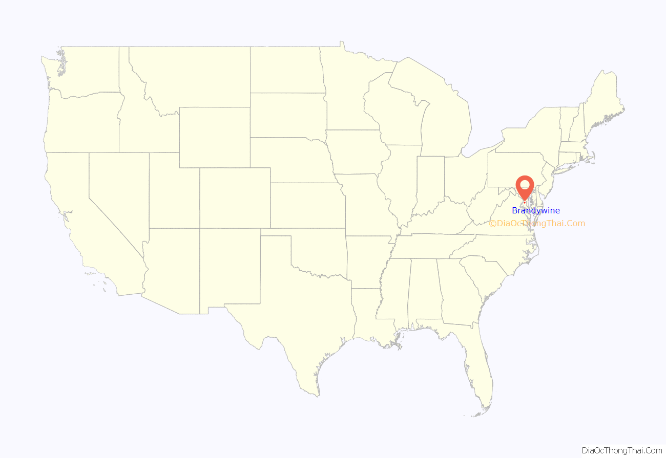
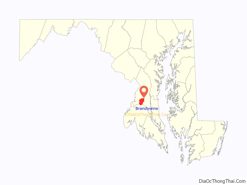
Brandywine location map. Where is Brandywine CDP?
History
William H. Early named the town of Brandywine as property he owned in the mid-19th century. The CDP consists of the property he owned in the 19th century. It is thought to be named after the Battle of Brandywine of the American Revolutionary War. Brandywine was developed on the Baltimore and Potomac Railroad’s Pope Creek (Southern Maryland) line in about 1873 and was the only town on the route that developed into a railroad town.
On September 1, 1877, around 4 p.m., a small 2.7 magnitude earthquake struck Brandywine.
In 1912, the Bank of Brandywine was chartered from what had previously been the Southern Maryland German-American Bank.
Although located between the substantial bedroom cities of Clinton and Waldorf, Brandywine remained rural until after the turn of the twenty-first century, when shopping centers–including big-box stores–and small residential developments were built. Despite the building of both a major highway overpass and a roundabout in 2019, the community is still notorious for traffic slowdowns due to both daily commuters and interstate travelers.
Historical sites
The following is a list of historic sites in Brandywine, which includes Baden and T.B. identified by the Maryland-National Capital Park and Planning Commission, none of which are currently museums:
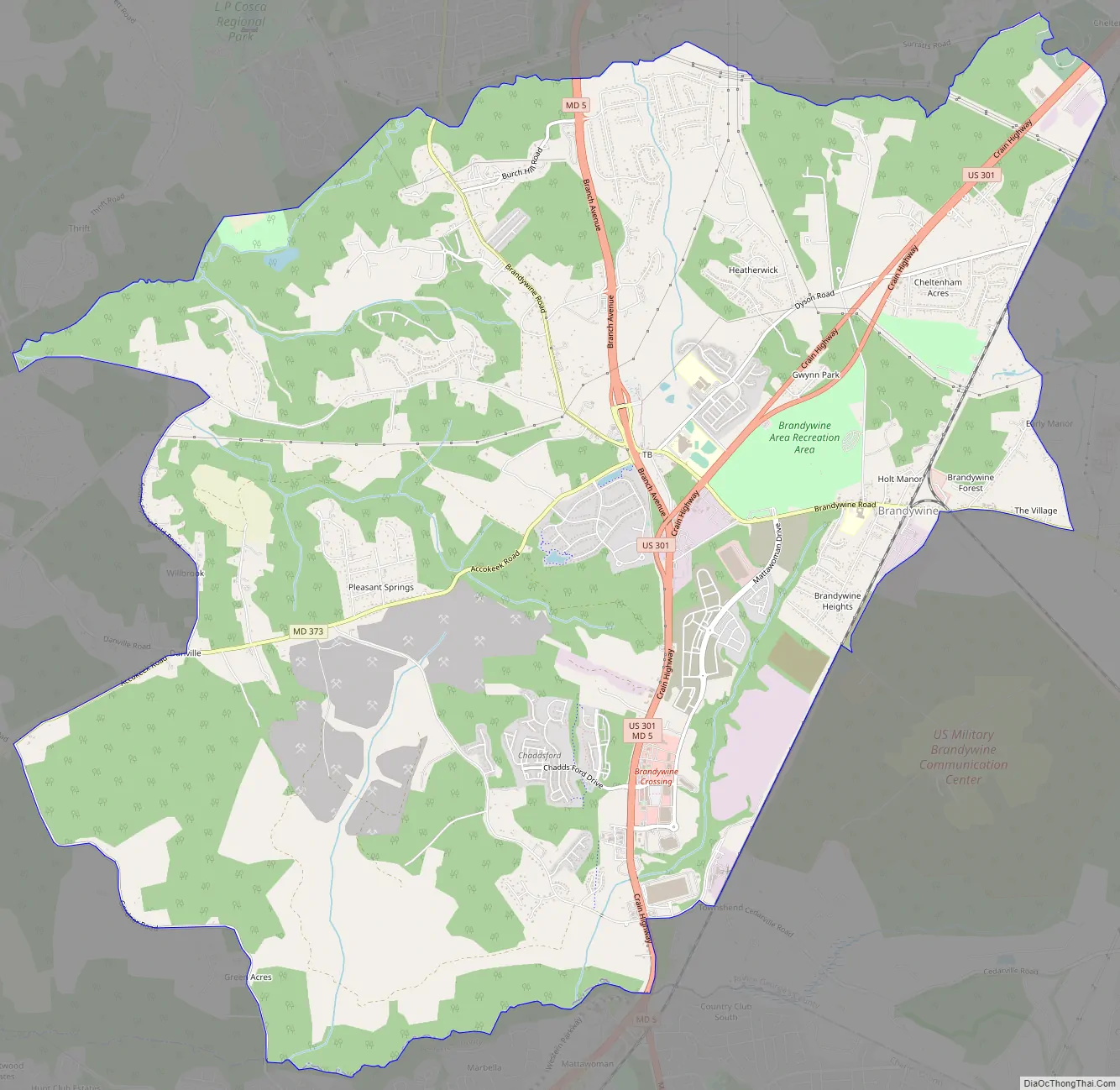
Brandywine Road Map
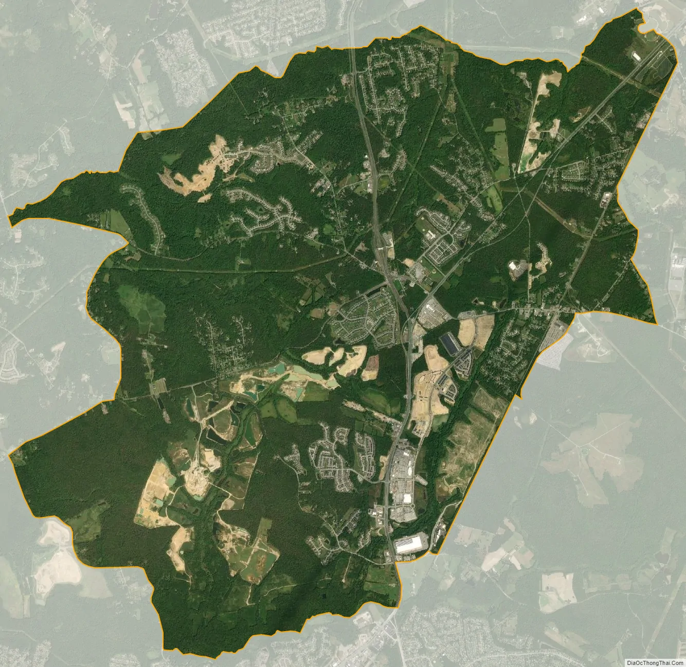
Brandywine city Satellite Map
Geography
The CDP and town are adjacent to the southern border of Prince George’s County, lying east and west of busy Maryland Route 5/U.S. Route 301, which merge at Brandywine. Brandywine CDP is bordered by Accokeek to the west, Clinton and Rosaryville to the north, Croom to the northeast, and Cedarville to the southeast, all in Prince George’s County. Waldorf in Charles County borders Brandywine to the south. The Brandywine zip code area encompasses parts of both counties and includes Cedarville and Baden.
Designated as part of the Prince George’s County rural tier, it is primarily rural with a suburban and commercial center.
See also
Map of Maryland State and its subdivision: Map of other states:- Alabama
- Alaska
- Arizona
- Arkansas
- California
- Colorado
- Connecticut
- Delaware
- District of Columbia
- Florida
- Georgia
- Hawaii
- Idaho
- Illinois
- Indiana
- Iowa
- Kansas
- Kentucky
- Louisiana
- Maine
- Maryland
- Massachusetts
- Michigan
- Minnesota
- Mississippi
- Missouri
- Montana
- Nebraska
- Nevada
- New Hampshire
- New Jersey
- New Mexico
- New York
- North Carolina
- North Dakota
- Ohio
- Oklahoma
- Oregon
- Pennsylvania
- Rhode Island
- South Carolina
- South Dakota
- Tennessee
- Texas
- Utah
- Vermont
- Virginia
- Washington
- West Virginia
- Wisconsin
- Wyoming


