Clinton is an unincorporated census-designated place (CDP) in Prince George’s County, Maryland, United States. Clinton was formerly known as Surrattsville until after the time of the Civil War. The population of Clinton was 38,760 at the 2020 census. Clinton is historically known for its role in the American Civil War concerning the Abraham Lincoln assassination. Clinton is adjacent to Camp Springs, Rosaryville, Melwood, and Andrews Air Force Base.
| Name: | Clinton CDP |
|---|---|
| LSAD Code: | 57 |
| LSAD Description: | CDP (suffix) |
| State: | Maryland |
| County: | Prince George’s County |
| Elevation: | 249 ft (76 m) |
| Total Area: | 25.09 sq mi (64.99 km²) |
| Land Area: | 25.02 sq mi (64.79 km²) |
| Water Area: | 0.08 sq mi (0.20 km²) |
| Total Population: | 38,760 |
| Population Density: | 1,549.35/sq mi (598.21/km²) |
| ZIP code: | 20735 |
| Area code: | 301, 240 |
| FIPS code: | 2417900 |
| GNISfeature ID: | 0597253 |
Online Interactive Map
Click on ![]() to view map in "full screen" mode.
to view map in "full screen" mode.
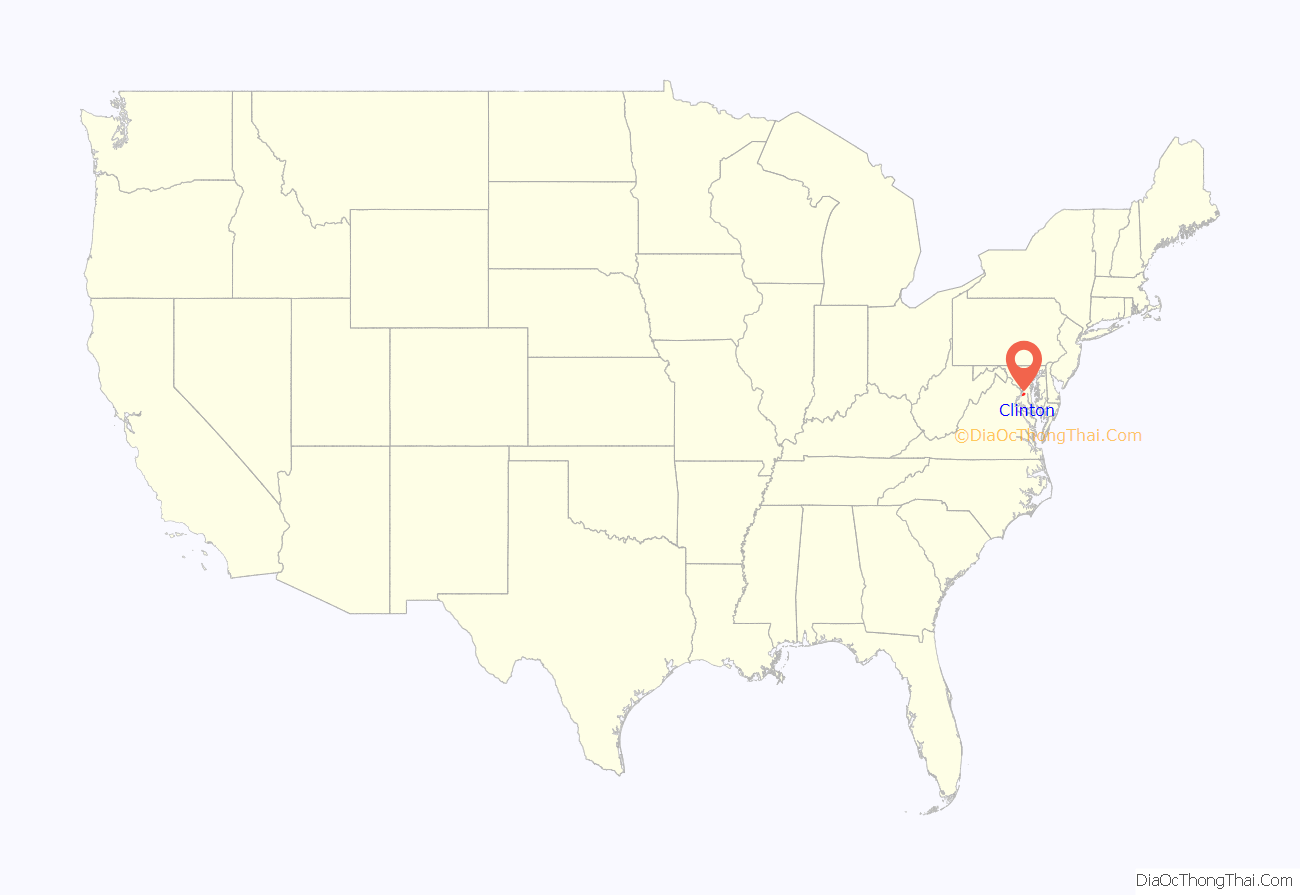
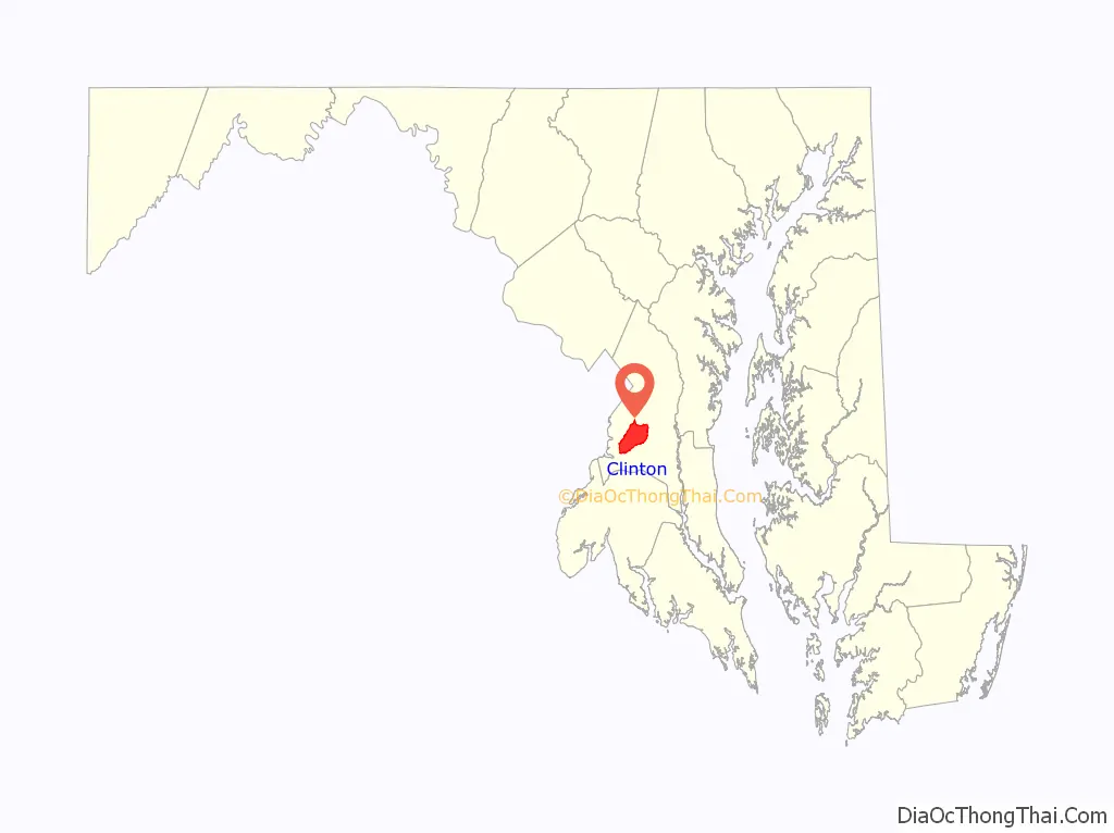
Clinton location map. Where is Clinton CDP?
History
Clinton was founded in the 1770s. The town, then named Surratt’s Villa, was actually a simple crossroads with a few buildings. In the 1800s, it became known as Surrattsville. The main building served as the post office, an inn and tavern, and a polling place. This main residence was one of two properties owned by the widowed Mary Surratt; the second property was in Washington, D.C.
On 14 and 15 April 1865, John Wilkes Booth, who had two hours earlier assassinated President Abraham Lincoln, stopped by the Surrattsville tavern to pick up weapons and supplies. The U.S. government alleged that Mary Surratt had gone there earlier with these supplies, and was in collusion with the conspirators, one of whom was her son, John Surratt. Because she was found guilty of complicity in the Lincoln assassination, Mary Surratt was hanged at the Capitol Prison in Washington D.C., on 7 July 1865. (Her house is now the Surratt House Museum, with a focus on the assassination.) The U.S. Post Office renamed the town Robeystown, due to the notoriety of the Surratt name, and in keeping with naming towns after the postmaster.
In 1879, Robeystown was renamed Clinton. The local high school, however, retains the name of Surrattsville, and some locals continue, in common usage, to call the town “Surattsville”.
The Wyoming house, a historic frame house built in three phases between the 18th and early 19th centuries, is also a part of Clinton’s history. The house consists of a main block with gambrel roof (late 18th century), kitchen (c. 1800), and connecting block (c. 1850). The Wyoming house is listed in the Maryland Inventory of Historical Properties and the Historic American Buildings Survey.
In 1913, Blossie Keubeth Miller founded a general store at the town’s main intersection. The current commercial property, built in the 1950s, houses a liquor store and is still owned by the Miller family.
Clinton has mostly single-family housing, but includes a few townhouse developments and one retirement mid-rise. Southern Maryland Regional Hospital is in Clinton, as is a private airfield. Louise F. Cosca Regional Park, a public facility operated by the Maryland-National Capital Park and Planning Commission, offers camping, hiking, fishing in a lake, an excellent playground, and a nature museum with nature activities. Clinton boasts a major shopping complex as well, and has a large fringe parking lot nearby where Metro buses take passengers a few miles to the Branch Avenue station of the Washington Metrorail system. Clinton is also home to the James O. Hall Research Center which is located on the premises of the Surratts House.
Major local growth began in the 1950s, spurred partly by the expansion of adjacent Andrews Air Force Base, home of the Air Force Systems Command and the President’s plane Air Force One.
Yuri Nosenko a KGB defector, was confined and interrogated at a safehouse in Clinton from April 4, 1964 to August 13, 1965.
A movie titled The Photon Effect was filmed in the town and also in Baltimore. A movie titled Safehouse was filmed in Clinton in 2007. Among the actors who flew out from Los Angeles to act in the film was Luke Barnett, who grew up in Clinton and graduated from Grace Brethren Christian School in 2000.
Clinton is also associated with the 2002 Beltway sniper attacks. A survivor of the attacks was shot in Clinton, while Mildred Muhammad, ex-wife of sniper John Allen Muhammad, was a Clinton resident.
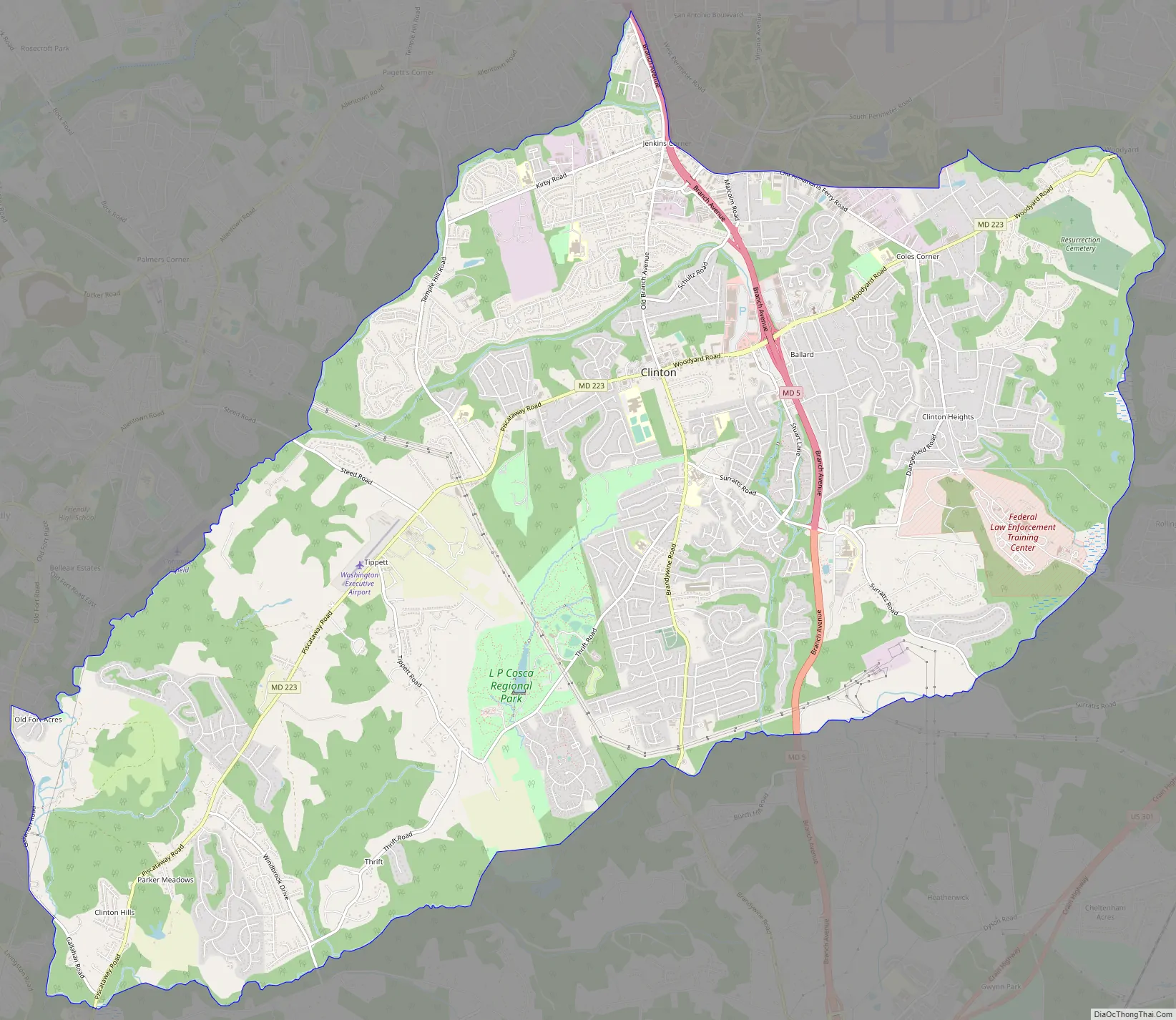
Clinton Road Map
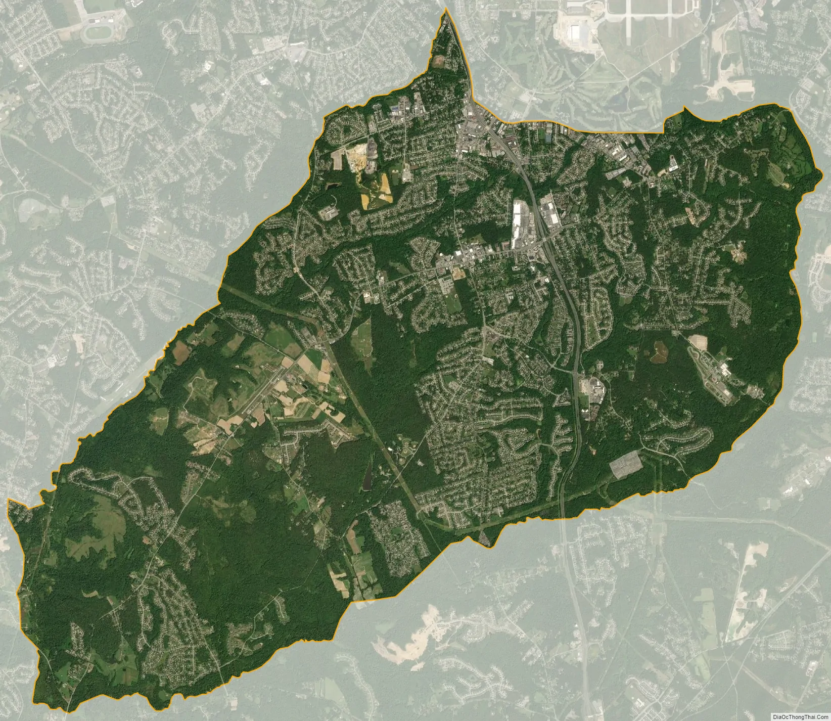
Clinton city Satellite Map
Geography
Clinton is located at 38°45′49″N 76°53′44″W / 38.76361°N 76.89556°W / 38.76361; -76.89556 (38.763711, −76.895458). According to the United States Census Bureau, the CDP has a total area of 25.1 square miles (64.9 km), of which 25.0 square miles (64.7 km) is land and 0.077 square miles (0.2 km), or 0.31%, is water.
See also
Map of Maryland State and its subdivision: Map of other states:- Alabama
- Alaska
- Arizona
- Arkansas
- California
- Colorado
- Connecticut
- Delaware
- District of Columbia
- Florida
- Georgia
- Hawaii
- Idaho
- Illinois
- Indiana
- Iowa
- Kansas
- Kentucky
- Louisiana
- Maine
- Maryland
- Massachusetts
- Michigan
- Minnesota
- Mississippi
- Missouri
- Montana
- Nebraska
- Nevada
- New Hampshire
- New Jersey
- New Mexico
- New York
- North Carolina
- North Dakota
- Ohio
- Oklahoma
- Oregon
- Pennsylvania
- Rhode Island
- South Carolina
- South Dakota
- Tennessee
- Texas
- Utah
- Vermont
- Virginia
- Washington
- West Virginia
- Wisconsin
- Wyoming


