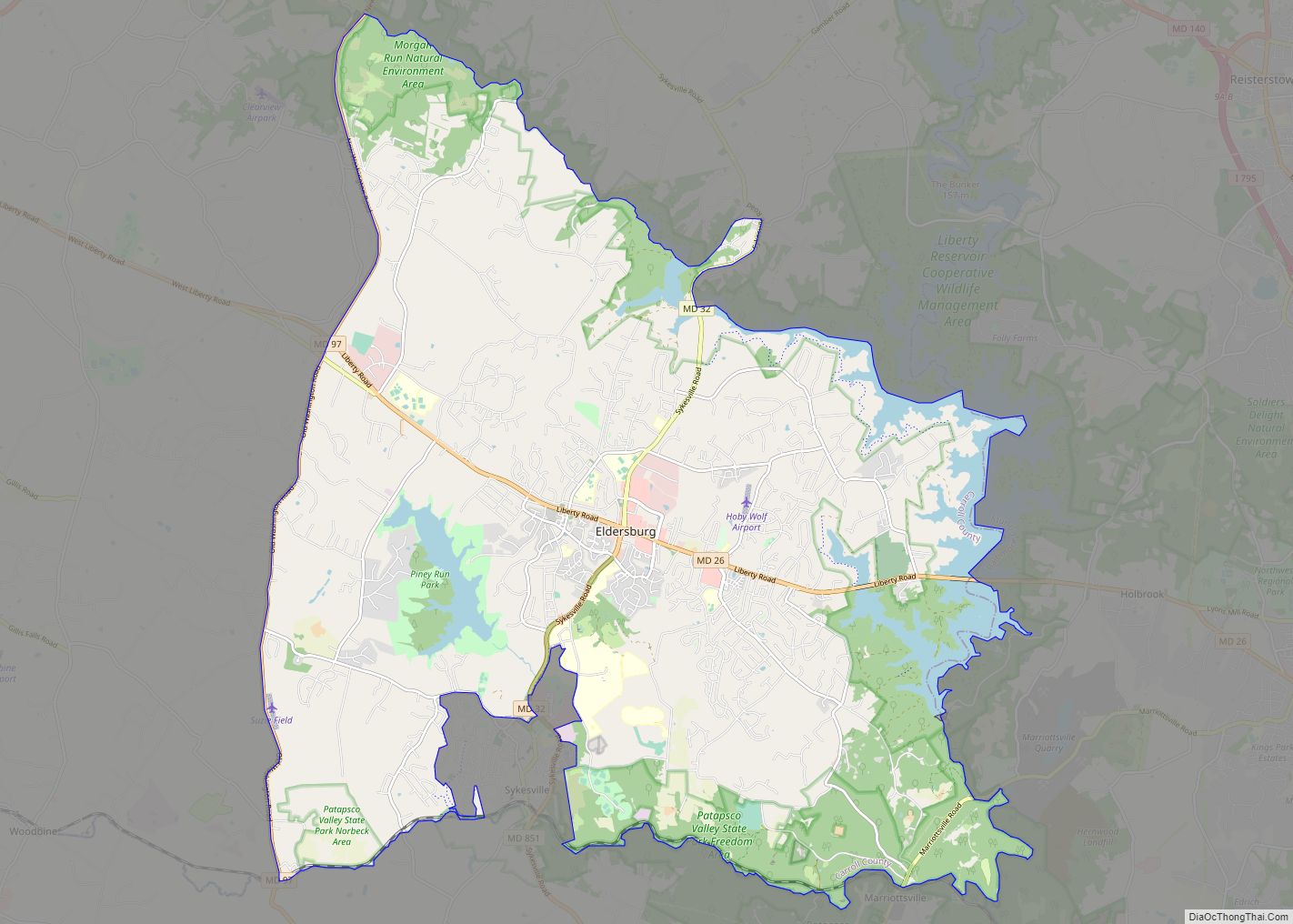
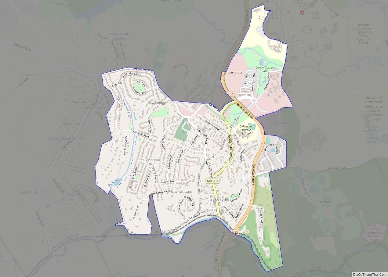
Sykesville is a small town in Carroll County, Maryland, United States. The town lies 20 miles (32 km) west of Baltimore and 40 miles (64 km) north of Washington D.C. The population was 4,436 at the 2010 census. BudgetTravel.com named Sykesville ‘Coolest Small Town in America’ in June 2016.
| Name: | Sykesville town |
|---|---|
| LSAD Code: | 43 |
| LSAD Description: | town (suffix) |
| State: | Maryland |
| County: | Carroll County |
| Incorporated: | August 1904 |
| Elevation: | 545 ft (166 m) |
| Total Area: | 1.59 sq mi (4.11 km²) |
| Land Area: | 1.58 sq mi (4.10 km²) |
| Water Area: | 0.00 sq mi (0.01 km²) |
| Total Population: | 4,316 |
| Population Density: | 2,728.19/sq mi (1,053.03/km²) |
| ZIP code: | 21784 |
| Area code: | 410, 443, and 667 |
| FIPS code: | 2476550 |
| GNISfeature ID: | 0591389 |
| Website: | www.sykesville.net |
Online Interactive Map
Click on ![]() to view map in "full screen" mode.
to view map in "full screen" mode.
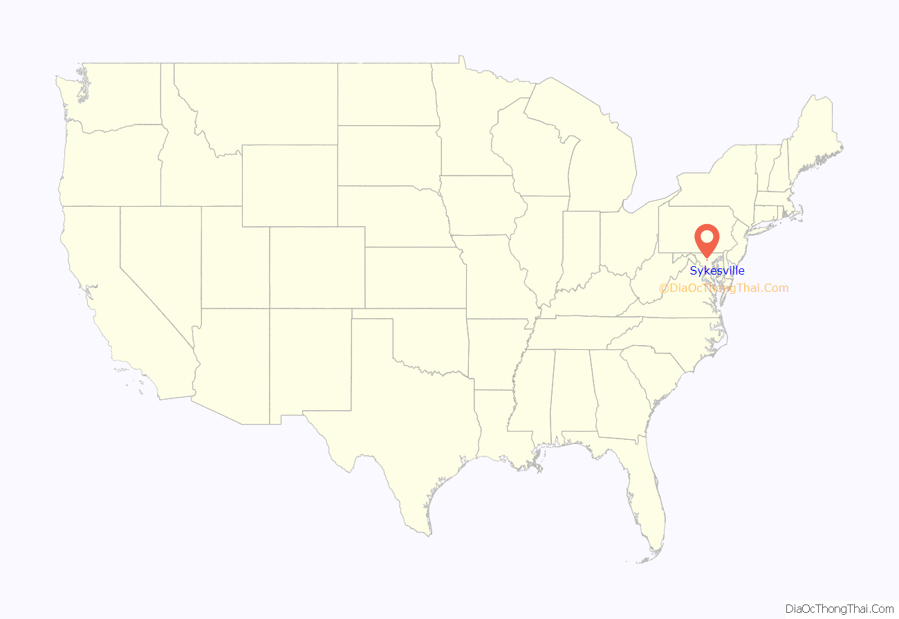
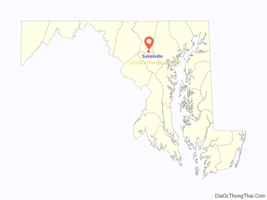
Sykesville location map. Where is Sykesville town?
History
Prior to European colonization, the area that is now Sykesville was used as a hunting ground by Native Americans from the Susquehannock and Lenape nations. By the late 1800s, many Europeans (predominantly from Germany and Scotland) had settled in Sykesville in pursuit of farming and mining.
The land on which Sykesville sits started out as part of the 3,000-acre (12 km) Springfield Estate, a slave plantation owned by wealthy Baltimore shipbuilder William Patterson. In 1803, Patterson’s daughter Elizabeth, married Napoléon Bonaparte’s younger brother Jérôme, but when she arrived in Europe as Jérôme’s bride, Napoléon refused to let Betsy Patterson Bonaparte set foot on land. Napoléon refused the marriage of the two, and would not let Elizabeth set foot on France’s soil. He was determined that Jerome marry into royalty, and sent Betsy back home. Denied by Napoléon, she was never able to see her husband again, leaving her to raise their son alone in the United States. Upon the death of William in 1824, his son George Patterson inherited the estate. In 1825, George Patterson sold 1,000 acres (4.0 km; 1.6 sq mi) of Springfield Estate to his friend and business associate, James Sykes.
A tract of land on the Howard County side of the Patapsco River contained an old saw and grist mill. In 1830 Sykes replaced it with a newer mill and constructed a five-story stone hotel, to take care of railroad personnel and the tourist trade. In 1831 the Baltimore and Ohio Railroad (B&O) extended its main line to “Horse Train Stop”, since Sykesville had yet to be named. Other businesses moved into the area, including two general stores, new mills, churches and a post office. In 1832 the town managed to gain control of a barn across the Patapsco River, the dividing line between Carroll and Howard County, but the citizens were forced to return the barn under threat of federal troops.
Much of the town was destroyed by a flood in 1868, ending a water rights dispute between the Sykesville mill and the Elba Furnace when both were damaged. The town was rebuilt on the Carroll County side of the river.
The town was incorporated in 1904. A weekly newspaper, the Sykesville Herald, was founded in 1913 and published regularly until the 1980s.
Sykesville Road Map
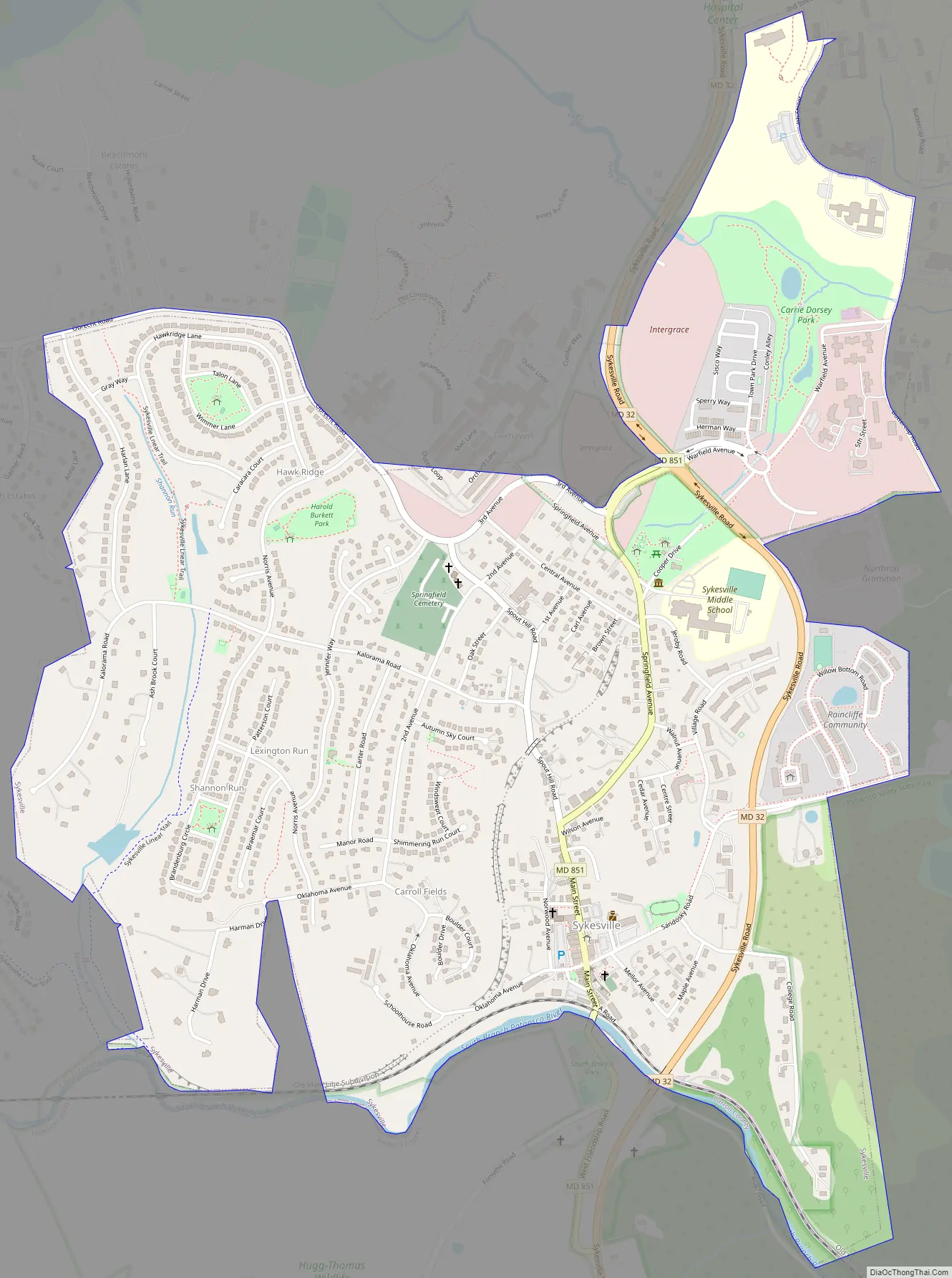
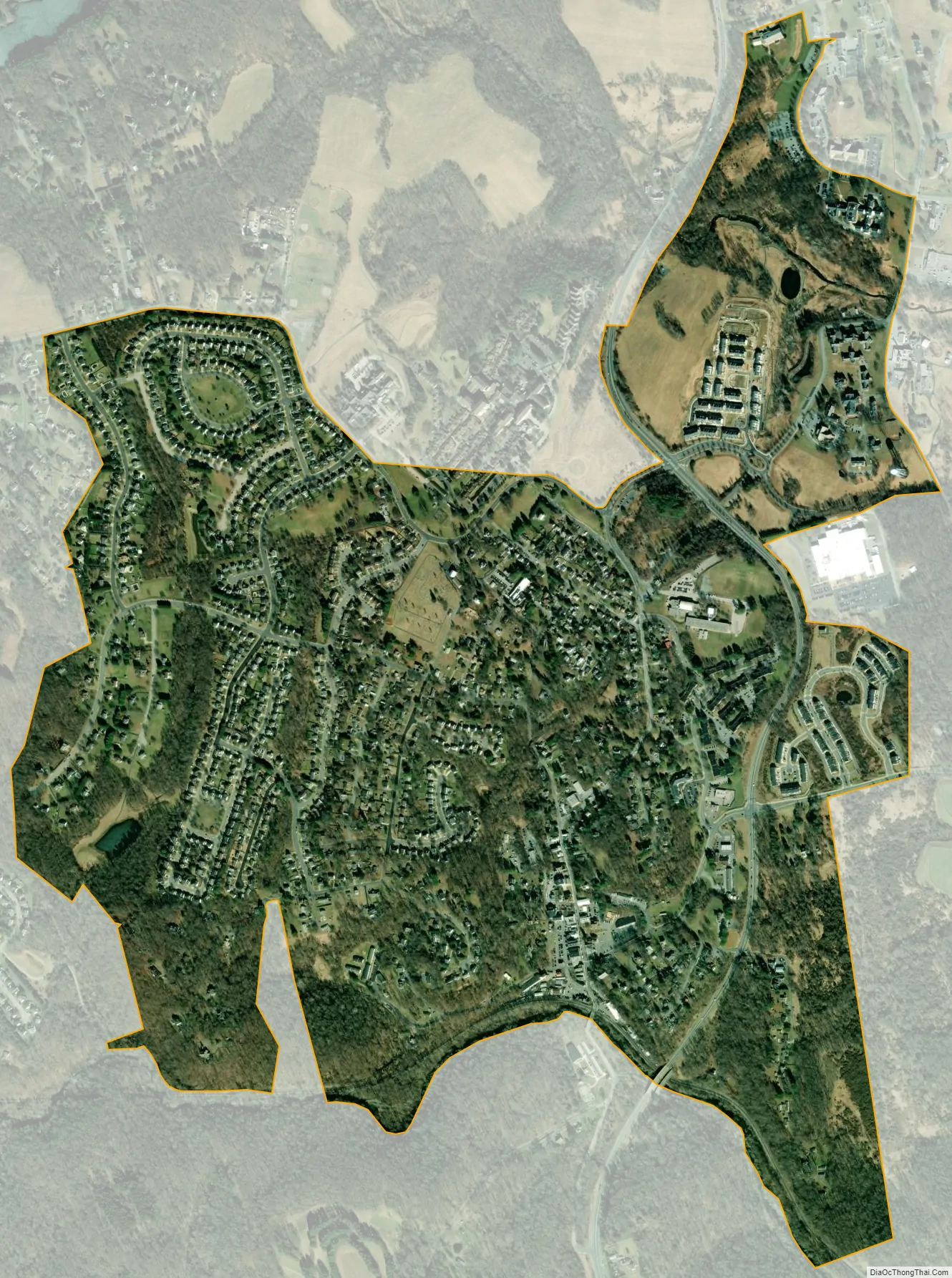
Sykesville city Satellite Map
Geography
Sykesville is located at 39°22′16″N 76°58′21″W / 39.37111°N 76.97250°W / 39.37111; -76.97250 (39.371020, -76.972630).
According to the United States Census Bureau, the town has a total area of 1.58 square miles (4.09 km), all land.
See also
Map of Maryland State and its subdivision: Map of other states:- Alabama
- Alaska
- Arizona
- Arkansas
- California
- Colorado
- Connecticut
- Delaware
- District of Columbia
- Florida
- Georgia
- Hawaii
- Idaho
- Illinois
- Indiana
- Iowa
- Kansas
- Kentucky
- Louisiana
- Maine
- Maryland
- Massachusetts
- Michigan
- Minnesota
- Mississippi
- Missouri
- Montana
- Nebraska
- Nevada
- New Hampshire
- New Jersey
- New Mexico
- New York
- North Carolina
- North Dakota
- Ohio
- Oklahoma
- Oregon
- Pennsylvania
- Rhode Island
- South Carolina
- South Dakota
- Tennessee
- Texas
- Utah
- Vermont
- Virginia
- Washington
- West Virginia
- Wisconsin
- Wyoming