Manchester is a small incorporated town in northeastern Carroll County, Maryland, United States, located just south of the Pennsylvania state line and north of Baltimore. The population was 4,808 at the 2010 census.
Manchester was incorporated in 1833 and is the second oldest incorporated area in Carroll County after Westminster, which was incorporated in 1818. The town was originally formed as a part of Baltimore County, before the creation of Carroll County in 1837. It is governed by an elected mayor and an elected five-person town council.
Manchester lies in the humid continental climate region, marked by cold and snowy winters but humid and hot summers. This climate is ideal for growing farmed crops in the summer such as tomatoes, sweet corn and squash, leaving much of the outlying area marked with large tracts of farmland. Manchester is a rural commuting town where residents travel to work in the greater Baltimore Metropolitan Area and the greater Washington Metropolitan Area.
| Name: | Manchester town |
|---|---|
| LSAD Code: | 43 |
| LSAD Description: | town (suffix) |
| State: | Maryland |
| County: | Carroll County |
| Incorporated: | 1833 |
| Elevation: | 991 ft (302 m) |
| Total Area: | 2.33 sq mi (6.04 km²) |
| Land Area: | 2.33 sq mi (6.02 km²) |
| Water Area: | 0.01 sq mi (0.01 km²) |
| Total Population: | 5,408 |
| Population Density: | 2,325.02/sq mi (897.82/km²) |
| ZIP code: | 21088, 21102 |
| Area code: | 410, 443, 667 |
| FIPS code: | 2449950 |
| GNISfeature ID: | 0590726 |
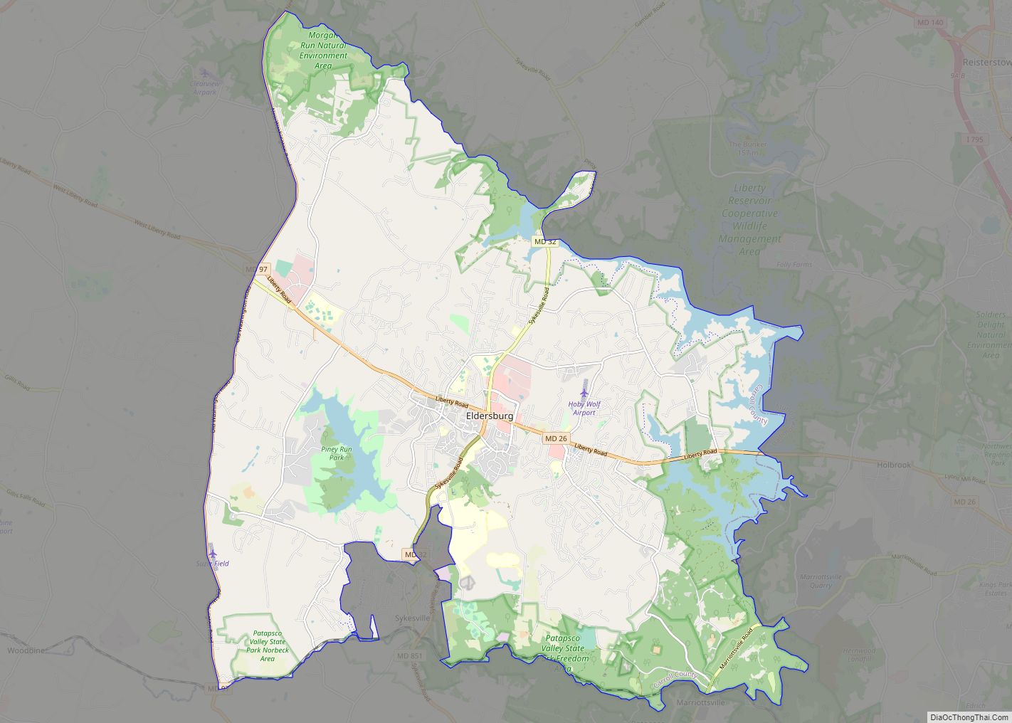
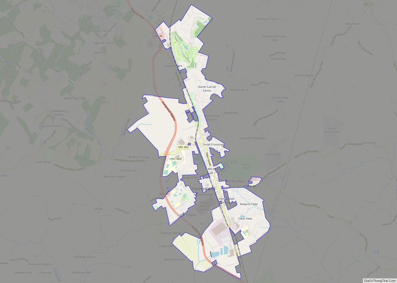
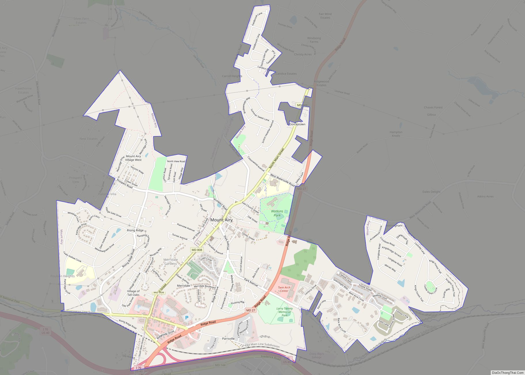
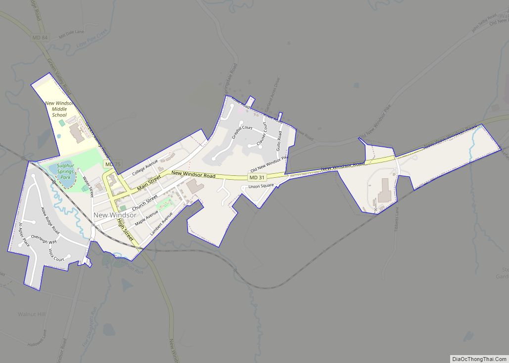
Online Interactive Map
Click on ![]() to view map in "full screen" mode.
to view map in "full screen" mode.
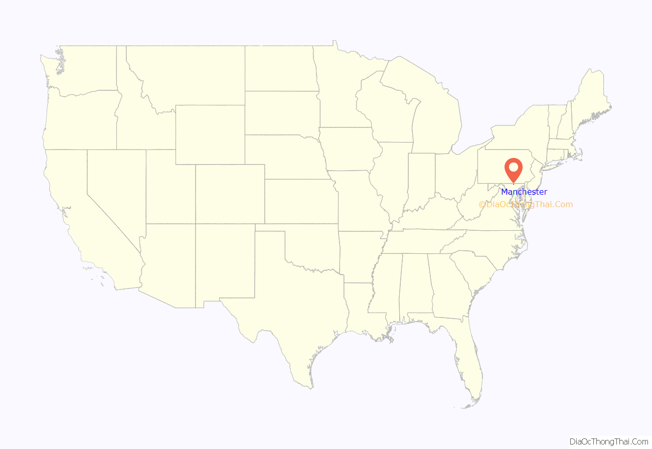
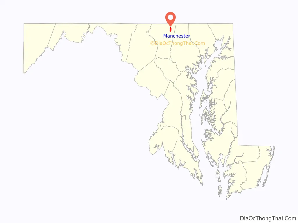
Manchester location map. Where is Manchester town?
History
The Town of Manchester, officially incorporated in 1833, was originally known as “Manchester Germantown”. However, the name Germantown referred to a community west of Manchester that was later incorporated with the town. The town was originally laid out in Baltimore County and remained a part of that county until the creation of Carroll County on January 19, 1837.
Prior to European colonization, the Susquehannock people occupied the territory now within the borders of Manchester. At the center of town stands an intersection of what were once two important Native American trails. One part of the trail connected the Potomac and Susquehanna rivers, and the other ran from the Conewago River to the Patapsco River (Hanover, Pennsylvania to Baltimore, Maryland). The latter trail was laid out in 1737 as the first public road in what is now Carroll County by Robert Owings.
The first land grant in the area, a tract of 150 acres (0.61 km) known as “Steven’s Hope”, was given to Samuel Stevens, and was laid at the intersection of present-day Lineboro Road. The first European settlers were English but later immigration brought people of German descent. There were many early land grants; the first one touching the present confines of town was made in 1758, issued to “German Churche”. In 1765 Captain Richard Richards was granted a tract of 67 acres (0.27 km) of land which was named “New Market”, adjoining the existing land grant of “German Churche”. Richards laid out the town of Manchester, naming it after his home town in England.
From the 18th century until the earliest parts of the 20th century, the primary languages spoken by the residents was German, or Pennsylvania Dutch. The custom of the German residents of making noodles and stringing them on lines outside their homes would give the town the nickname “Noodle Doosey”. Later, Manchester would receive another nickname when the German custom of making ginger cakes brought on “Gingercake Town”. Manchester was also a relatively large cigar manufacturing town, from after the Civil War until around 1930, when the mass production of cigars made the manual method in use in the town less economical.
Manchester was the home of one of the first colleges in Carroll County when, in 1858, Irving College, named after poet Washington Irving, was established by Dr. Ferdinand Dieffenbach. During the Civil War the success of the school was greatly hampered by the death of Dr. Dieffenbach and the low number of young men returning from the front lines. The school changed its name to Irving Institute in 1886 and finally ceased operation by 1893.
During the American Civil War, Manchester was used as a camping area for the Union Sixth Army Corps under General John Sedgwick on July 1, 1863. The next day, the army made its march to the Battle of Gettysburg.
Manchester has had three newspapers. The first, called the Manchester Gazette, began publishing weekly in 1870 and ceased in 1872. The second went into print on December 11, 1880, and was called the Manchester Enterprise, and in 1888 the Telephone Messenger was established.
The official seal of the town of Manchester is a church steeple in the foreground and the likeness of a leaf-less tree in the background with the text “Founded 1765 Incorporated 1834”.
The image of the tree is a representation of a White Oak and is considered the town symbol. The “Lutheran White Oak”, as it has come to be known, is estimated at 320 years old. The large oak became a fixture of the town when, in 1758, King George III granted a charter to German colonists to erect a church near the tree. The town newsletter was named Oaknotes as an homage to the large White Oak tree.
Manchester is a typical “Main Street” town that continues expanding to accommodate a growing population. Manchester has its own post office, and home mail delivery is available to most residents. A majority, an estimated 95%, of town residents commute to work. There are no large employers inside the town limits, but there are many small businesses. Manchester is mostly residential buildings, with some restaurants, a bank and other small retail storefronts. A large portion of the businesses are located on or around Main Street which Maryland Route 30 becomes once entering “downtown” Manchester.
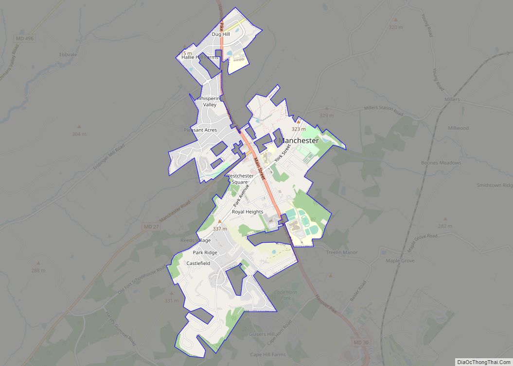
Manchester Road Map
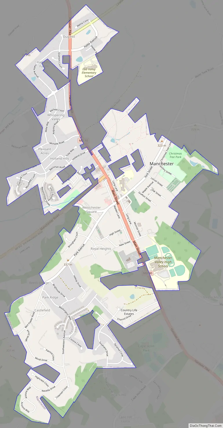
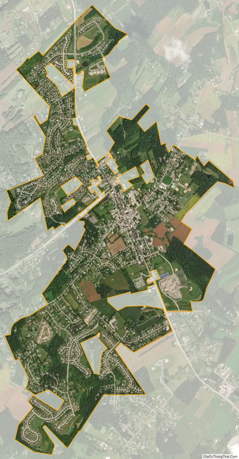
Manchester city Satellite Map
Geography
Topography
Manchester is located at 39°39′42″N 76°53′17″W / 39.66167°N 76.88806°W / 39.66167; -76.88806 (39.661762, -76.888014). According to the United States Census Bureau, the town has a total area of 2.35 square miles (6.09 km), of which 2.34 square miles (6.06 km) is land and 0.01 square miles (0.03 km) is water.
Manchester is located on the Piedmont Plateau, west of the coastal lowlands of the Chesapeake Bay, in an area of rolling upland. Manchester’s environs are the highest point in the state of Maryland east of the Appalachian Mountains.
Climate
Manchester lies in the transition zone between the humid subtropical and humid continental climate zones, and experiences higher annual snowfall and colder temperatures than the southern half of Maryland, which lies in the humid subtropical climate zone.
The hottest summer month is July, during which temperatures average a high of 87 °F (31 °C) with an average low of 63 °F (17 °C). The coldest month is January with an average high of 38 °F (3 °C) and average low of 21 °F (-6 °C) Manchester receives an annual precipitation of 43.67 inches (110.9 cm).
See also
Map of Maryland State and its subdivision: Map of other states:- Alabama
- Alaska
- Arizona
- Arkansas
- California
- Colorado
- Connecticut
- Delaware
- District of Columbia
- Florida
- Georgia
- Hawaii
- Idaho
- Illinois
- Indiana
- Iowa
- Kansas
- Kentucky
- Louisiana
- Maine
- Maryland
- Massachusetts
- Michigan
- Minnesota
- Mississippi
- Missouri
- Montana
- Nebraska
- Nevada
- New Hampshire
- New Jersey
- New Mexico
- New York
- North Carolina
- North Dakota
- Ohio
- Oklahoma
- Oregon
- Pennsylvania
- Rhode Island
- South Carolina
- South Dakota
- Tennessee
- Texas
- Utah
- Vermont
- Virginia
- Washington
- West Virginia
- Wisconsin
- Wyoming