Hampstead is a town in Carroll County in the U.S. state of Maryland. The population was 6,323 at the 2010 census.
| Name: | Hampstead town |
|---|---|
| LSAD Code: | 43 |
| LSAD Description: | town (suffix) |
| State: | Maryland |
| County: | Carroll County |
| Incorporated: | 1888 |
| Elevation: | 928 ft (283 m) |
| Total Area: | 3.33 sq mi (8.62 km²) |
| Land Area: | 3.30 sq mi (8.55 km²) |
| Water Area: | 0.03 sq mi (0.08 km²) |
| Total Population: | 6,241 |
| Population Density: | 1,890.64/sq mi (730.09/km²) |
| ZIP code: | 21074 |
| Area code: | 410,443 |
| FIPS code: | 2436500 |
| GNISfeature ID: | 0590408 |
| Website: | www.hampsteadmd.gov |
Online Interactive Map
Click on ![]() to view map in "full screen" mode.
to view map in "full screen" mode.
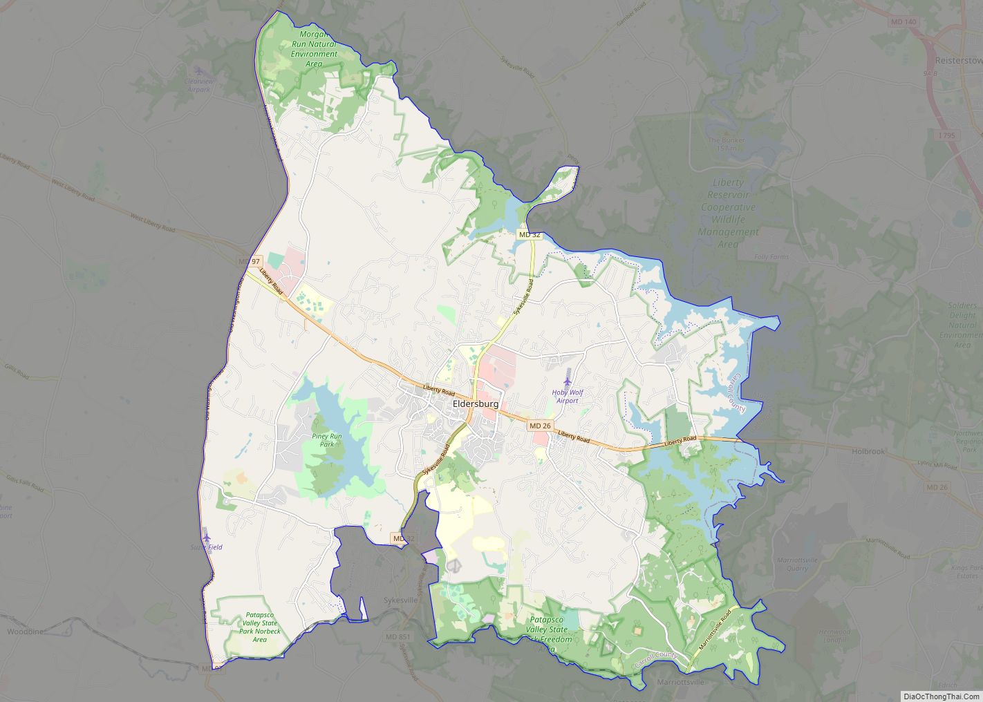
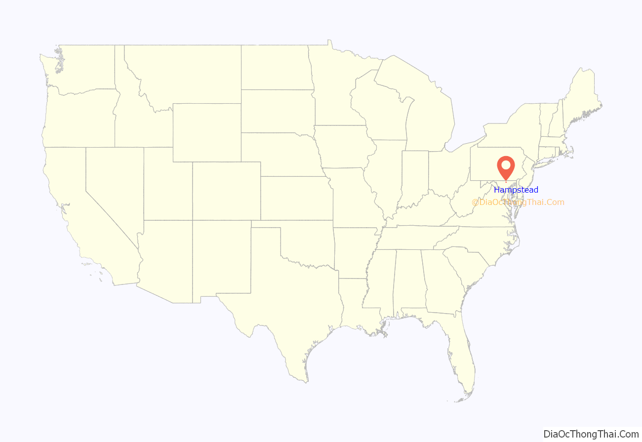
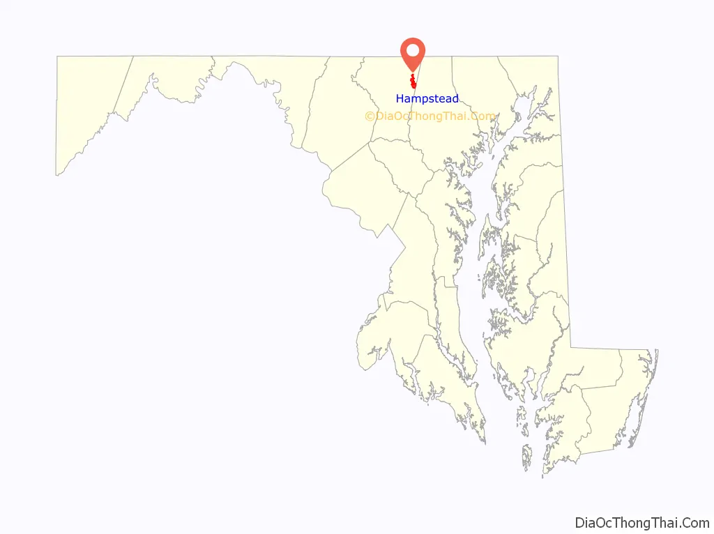
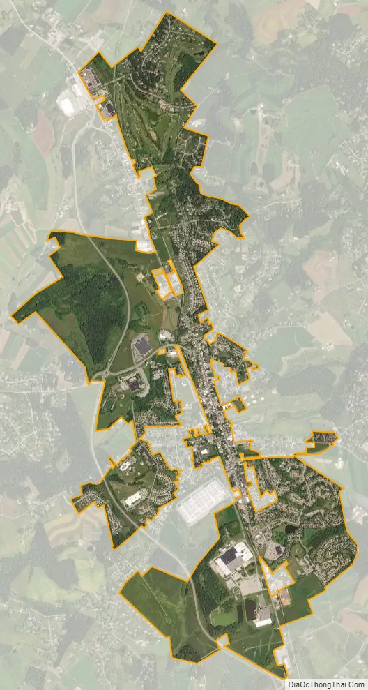
Hampstead location map. Where is Hampstead town?
History
Between 1736 and 1738, Robert Owings was assigned to “cut a new road as Christopher Gist had marked it” south from Conewago (now Hanover, Pennsylvania) to a point about halfway to Fort Garrison in Baltimore County. The village of Spring Garden became a stage-line stop on the new road and later became the town of Hampstead, named after Hampstead, in England. The first European settlers to the area were English immigrants who made their way west from the Port of Philadelphia. They were followed by Scots and Germans. Hampstead was used by farmers from surrounding areas as a center to obtain goods brought from Baltimore and to send produce to markets in Baltimore and Pennsylvania. The level and fertile land, coupled with the availability of lime, gave farmers important advantages for successful farming. In 1879, the Harrisburg Division of the Western Maryland Railroad reached Hampstead. The accessibility of the railroad attracted new residents and made dairy farming profitable. The town was incorporated in 1888 and since then has developed from a farming community to a modern town of about 6,300 residents.
Hampstead School was listed on the National Register of Historic Places in 2002. Once defunct and derelict, it was rehabilitated and is now The Residences at Hampstead School, a retirement facility.
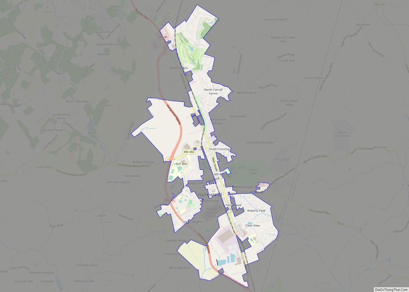
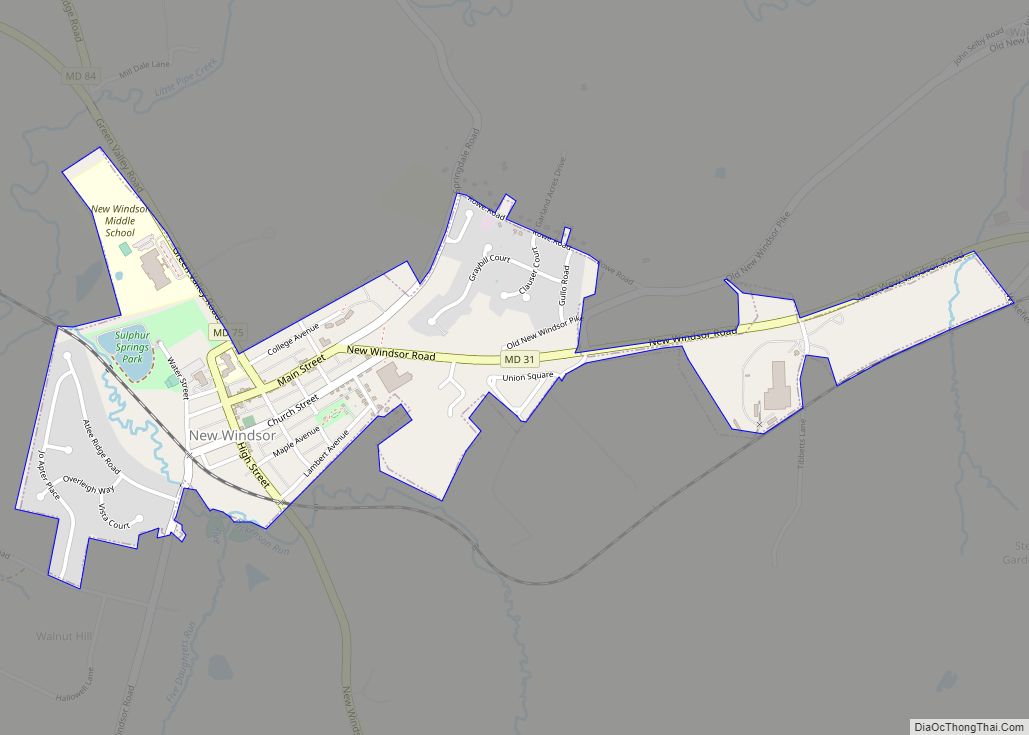
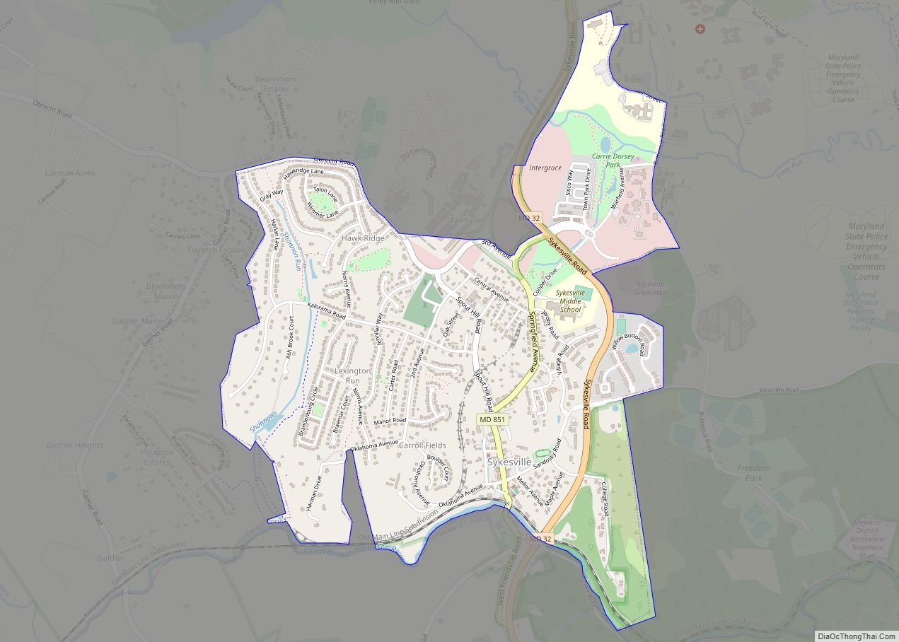
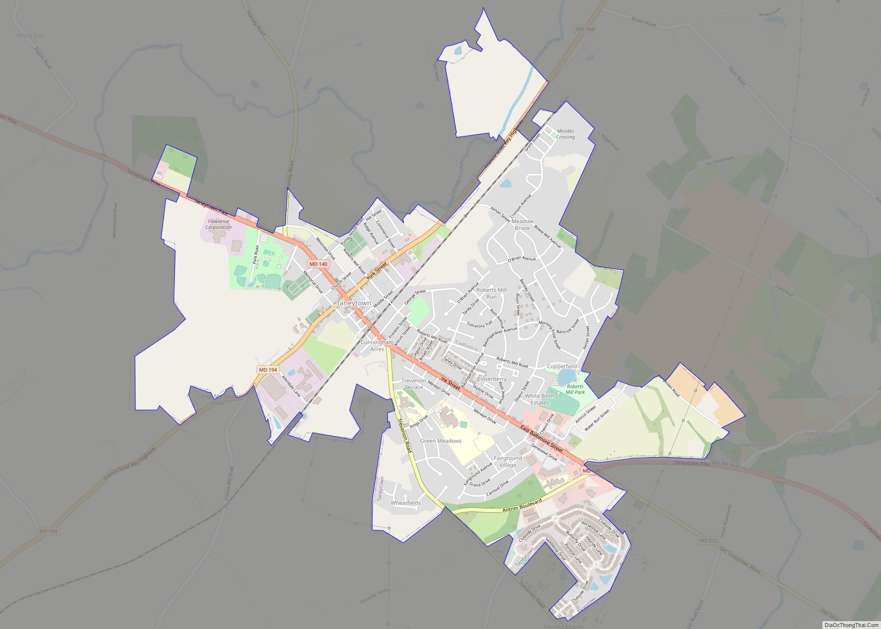
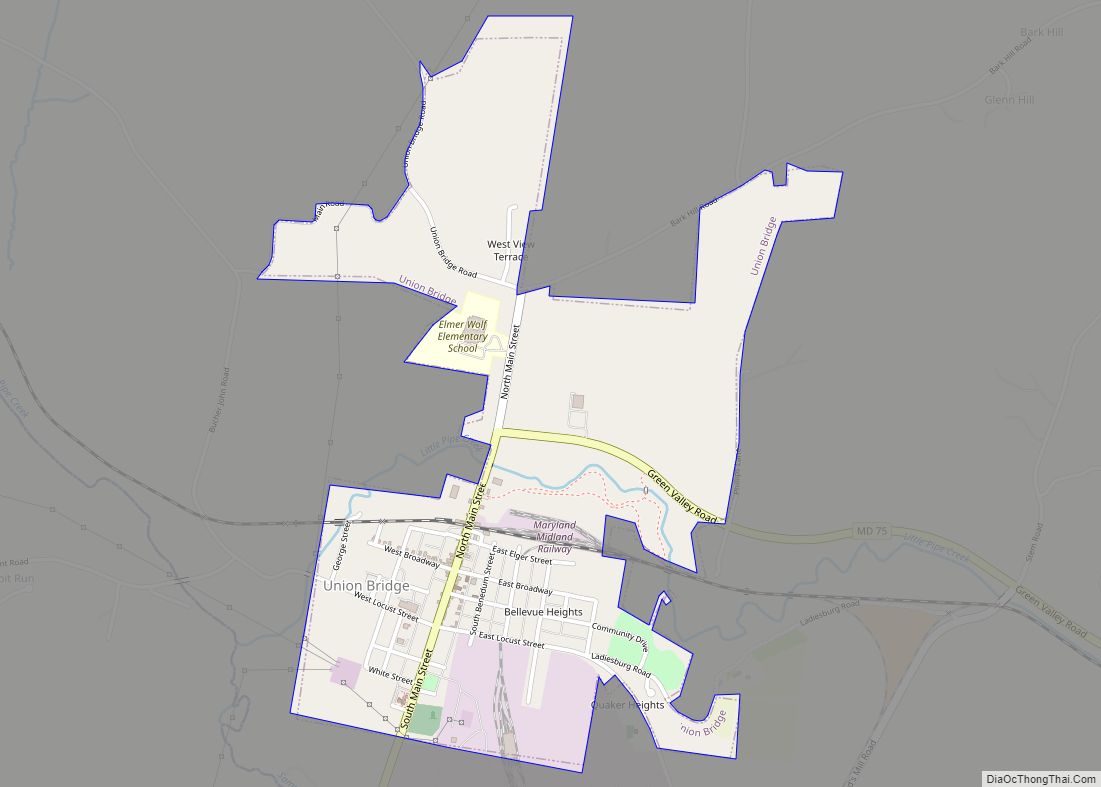
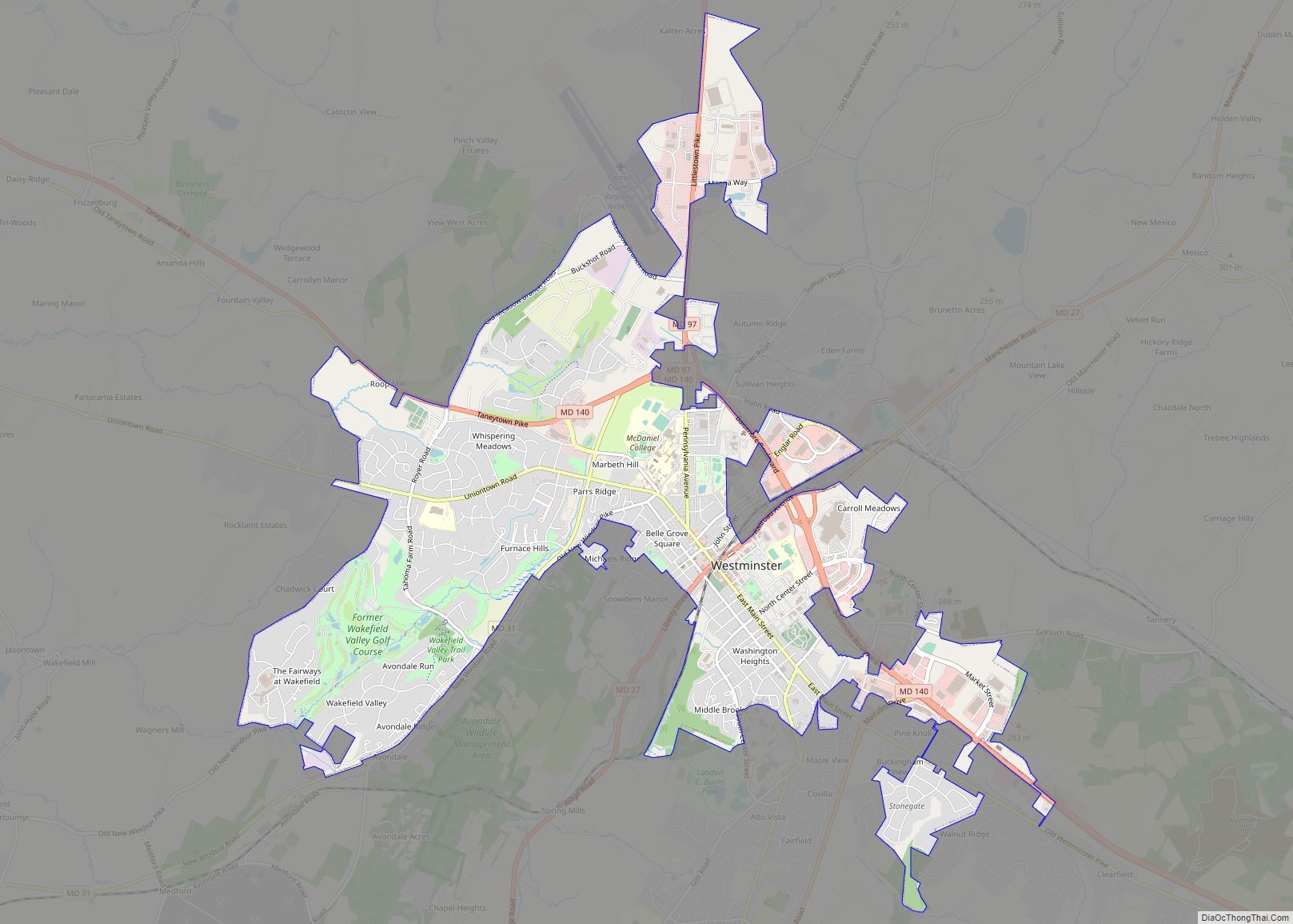
Hampstead Road Map
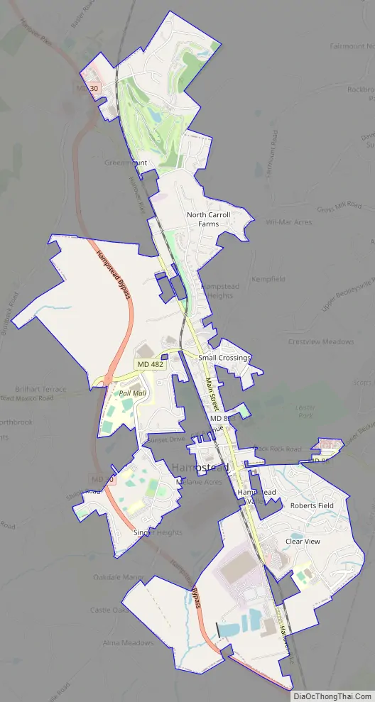
Hampstead city Satellite Map
Geography
Hampstead is located at 39°36′37″N 76°51′5″W / 39.61028°N 76.85139°W / 39.61028; -76.85139 (39.610303, -76.851493). According to the United States Census Bureau, the town has a total area of 3.21 square miles (8.31 km), of which 3.19 square miles (8.26 km) is land and 0.02 square miles (0.05 km) is water.
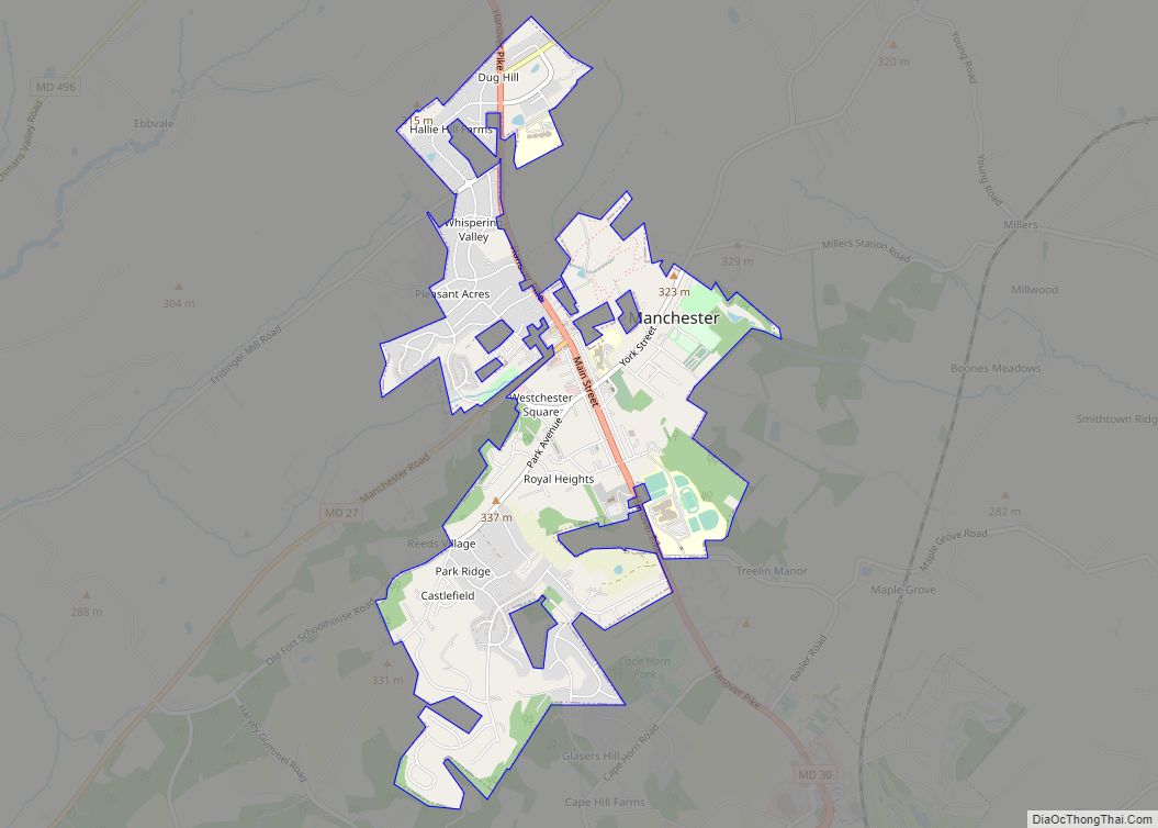
Hampstead is approximately 3 miles (5 km) south of Manchester, 6 miles (10 km) east of Westminster, and 9 miles (14 km) north of Reisterstown.
See also
Map of Maryland State and its subdivision: Map of other states:- Alabama
- Alaska
- Arizona
- Arkansas
- California
- Colorado
- Connecticut
- Delaware
- District of Columbia
- Florida
- Georgia
- Hawaii
- Idaho
- Illinois
- Indiana
- Iowa
- Kansas
- Kentucky
- Louisiana
- Maine
- Maryland
- Massachusetts
- Michigan
- Minnesota
- Mississippi
- Missouri
- Montana
- Nebraska
- Nevada
- New Hampshire
- New Jersey
- New Mexico
- New York
- North Carolina
- North Dakota
- Ohio
- Oklahoma
- Oregon
- Pennsylvania
- Rhode Island
- South Carolina
- South Dakota
- Tennessee
- Texas
- Utah
- Vermont
- Virginia
- Washington
- West Virginia
- Wisconsin
- Wyoming