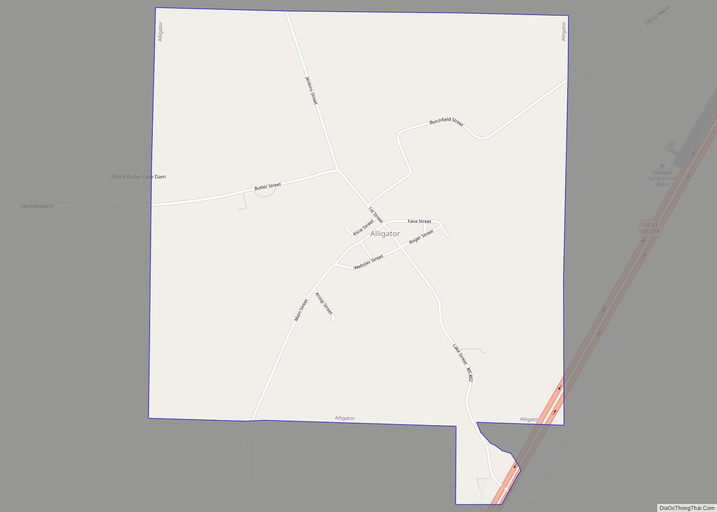
Alligator is a town in Bolivar County, Mississippi, United States. Per the 2020 Census, the population was 116.
In 2009, Tommie “Tomaso” Brown was elected Alligator’s first black mayor. He defeated Robert Fava, the mayor since 1979.
| Name: | Alligator town |
|---|---|
| LSAD Code: | 43 |
| LSAD Description: | town (suffix) |
| State: | Mississippi |
| County: | Bolivar County |
| Elevation: | 157 ft (48 m) |
| Total Area: | 1.04 sq mi (2.70 km²) |
| Land Area: | 0.98 sq mi (2.55 km²) |
| Water Area: | 0.06 sq mi (0.15 km²) |
| Total Population: | 116 |
| Population Density: | 117.77/sq mi (45.47/km²) |
| ZIP code: | 38720 |
| Area code: | 662 |
| FIPS code: | 2800940 |
| GNISfeature ID: | 0666222 |
Online Interactive Map
Click on ![]() to view map in "full screen" mode.
to view map in "full screen" mode.
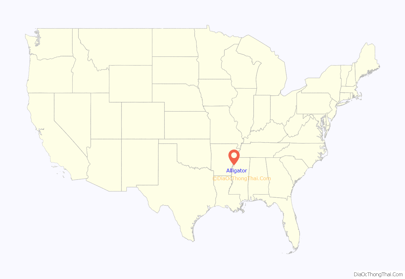
Alligator location map. Where is Alligator town?

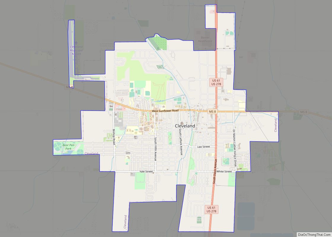
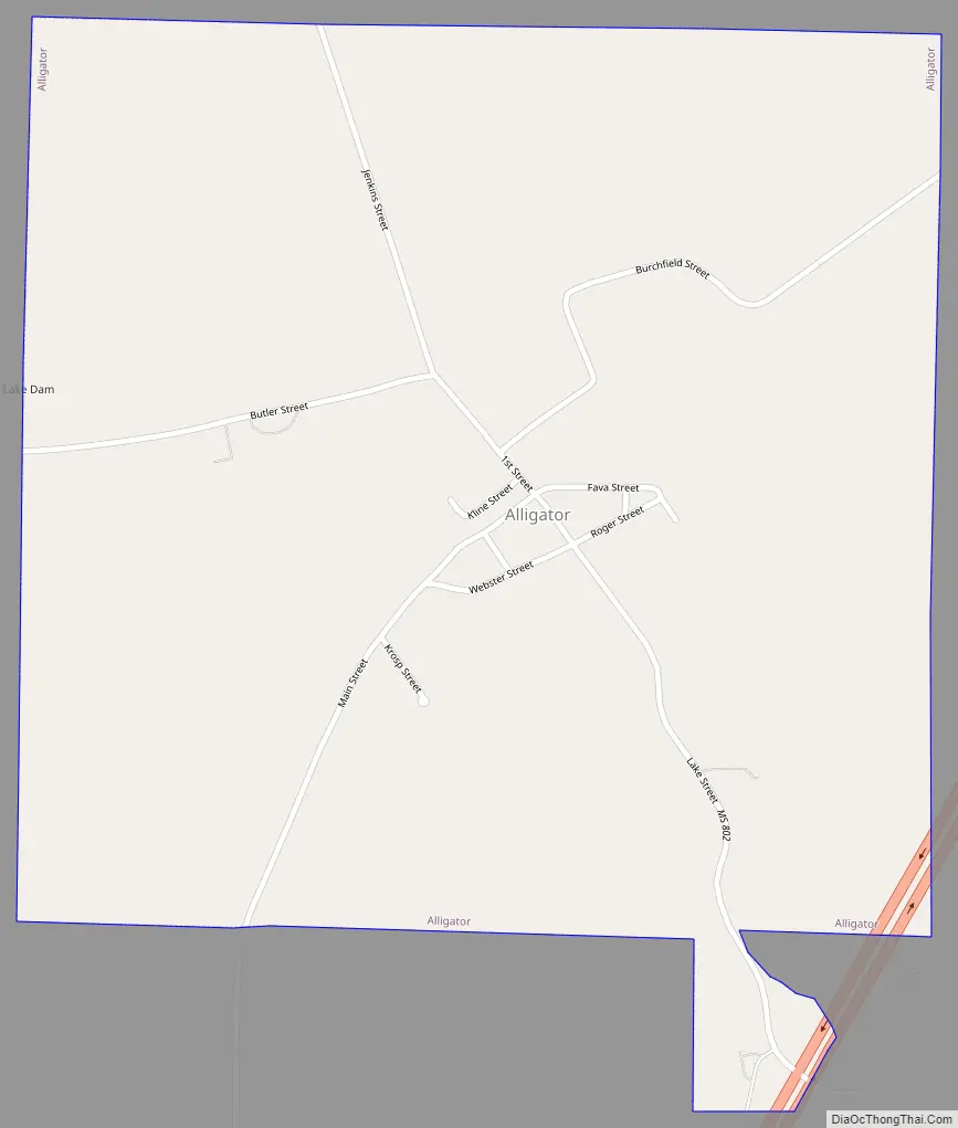
Alligator Road Map
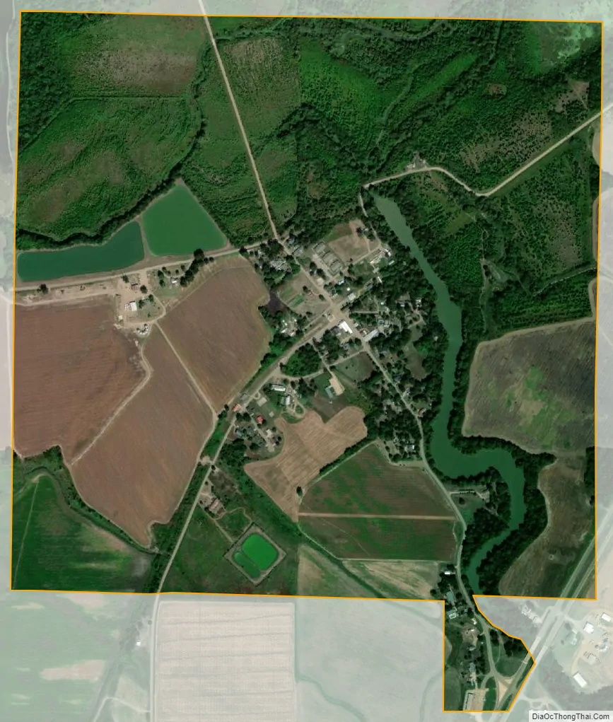
Alligator city Satellite Map
Geography
According to the United States Census Bureau, the town has a total area of 1.04 square miles (2.70 km), of which 0.98 square miles (2.55 km) is land and 0.058 square miles (0.15 km), or 5.48%, is water.
See also
Map of Mississippi State and its subdivision:- Adams
- Alcorn
- Amite
- Attala
- Benton
- Bolivar
- Calhoun
- Carroll
- Chickasaw
- Choctaw
- Claiborne
- Clarke
- Clay
- Coahoma
- Copiah
- Covington
- Desoto
- Forrest
- Franklin
- George
- Greene
- Grenada
- Hancock
- Harrison
- Hinds
- Holmes
- Humphreys
- Issaquena
- Itawamba
- Jackson
- Jasper
- Jefferson
- Jefferson Davis
- Jones
- Kemper
- Lafayette
- Lamar
- Lauderdale
- Lawrence
- Leake
- Lee
- Leflore
- Lincoln
- Lowndes
- Madison
- Marion
- Marshall
- Monroe
- Montgomery
- Neshoba
- Newton
- Noxubee
- Oktibbeha
- Panola
- Pearl River
- Perry
- Pike
- Pontotoc
- Prentiss
- Quitman
- Rankin
- Scott
- Sharkey
- Simpson
- Smith
- Stone
- Sunflower
- Tallahatchie
- Tate
- Tippah
- Tishomingo
- Tunica
- Union
- Walthall
- Warren
- Washington
- Wayne
- Webster
- Wilkinson
- Winston
- Yalobusha
- Yazoo
- Alabama
- Alaska
- Arizona
- Arkansas
- California
- Colorado
- Connecticut
- Delaware
- District of Columbia
- Florida
- Georgia
- Hawaii
- Idaho
- Illinois
- Indiana
- Iowa
- Kansas
- Kentucky
- Louisiana
- Maine
- Maryland
- Massachusetts
- Michigan
- Minnesota
- Mississippi
- Missouri
- Montana
- Nebraska
- Nevada
- New Hampshire
- New Jersey
- New Mexico
- New York
- North Carolina
- North Dakota
- Ohio
- Oklahoma
- Oregon
- Pennsylvania
- Rhode Island
- South Carolina
- South Dakota
- Tennessee
- Texas
- Utah
- Vermont
- Virginia
- Washington
- West Virginia
- Wisconsin
- Wyoming