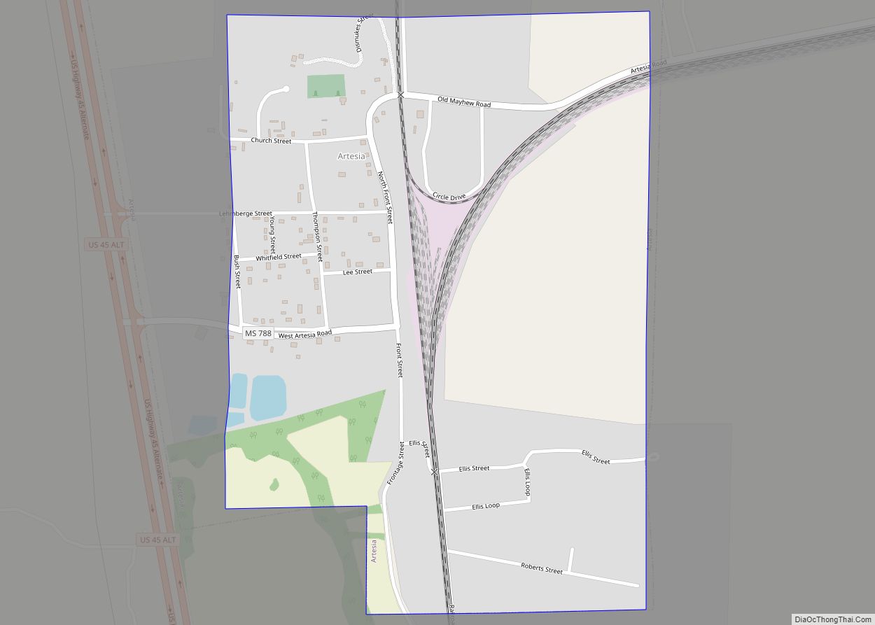
Artesia is a town in Lowndes County, Mississippi. The population was 304 at the 2020 census, down from 440 at the 2010 census.
| Name: | Artesia town |
|---|---|
| LSAD Code: | 43 |
| LSAD Description: | town (suffix) |
| State: | Mississippi |
| County: | Lowndes County |
| Elevation: | 230 ft (70 m) |
| Total Area: | 0.72 sq mi (1.88 km²) |
| Land Area: | 0.72 sq mi (1.87 km²) |
| Water Area: | 0.00 sq mi (0.00 km²) |
| Total Population: | 304 |
| Population Density: | 420.47/sq mi (162.37/km²) |
| ZIP code: | 39736 |
| Area code: | 662 |
| FIPS code: | 2802100 |
| GNISfeature ID: | 0666384 |
Online Interactive Map
Click on ![]() to view map in "full screen" mode.
to view map in "full screen" mode.
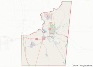
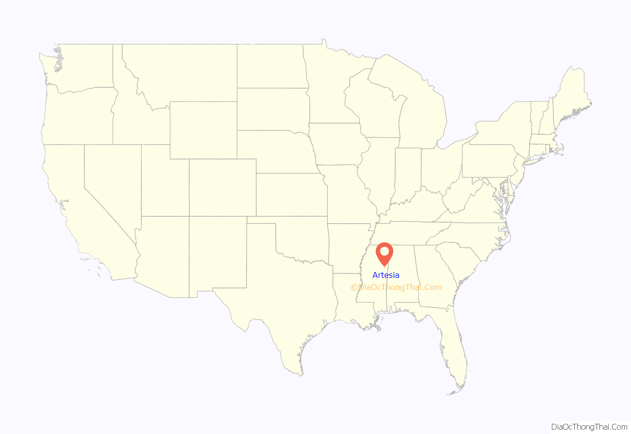
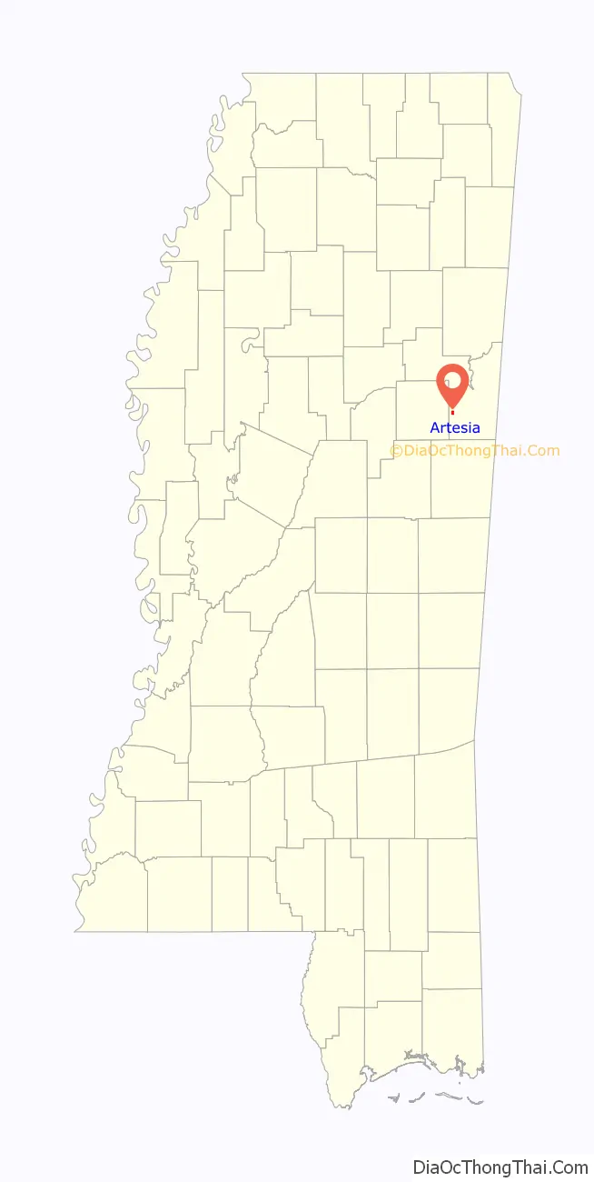
Artesia location map. Where is Artesia town?
History
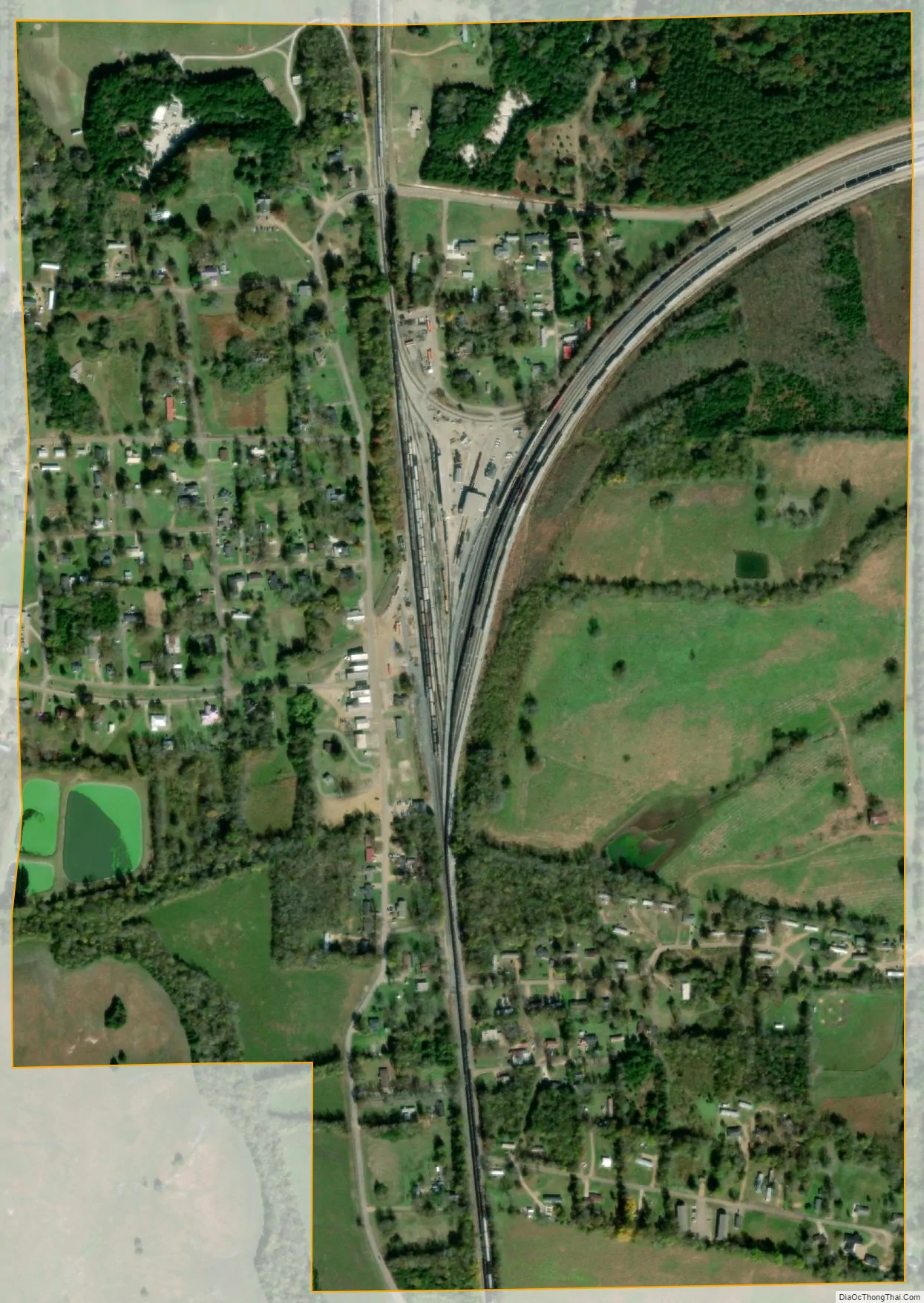
Artesia was originally Artesia Junction, a junction point on the Mobile and Ohio Railroad. During the railroad’s construction in the 1850s, an offer was made to the towns of Columbus and Aberdeen to route the railroad through the towns, but both towns refused. Columbus reconsidered a few months later; but by that time, the railway had already chosen a route well to the west of the town. However, the railroad did extend a spur line in order to serve Columbus, and that spur line joins the main line at the site of present-day Artesia.
Artesia was the site of a voter suppression incident in 1876 in which a group of heavily armed white men from Starkville came to intimidate black voters in the Republican Club. Federal troops were called to intervene, which enraged many whites, who depicted the event as a negro riot.
The name originates from a cluster of artesian wells that were found in the area.
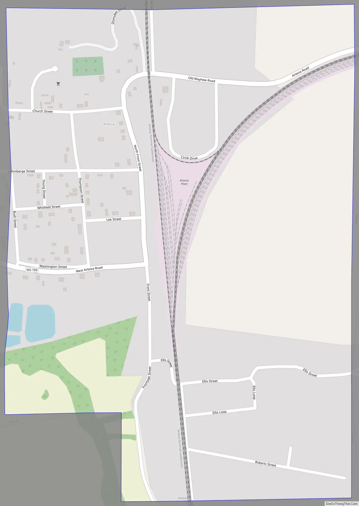
Artesia Road Map
Artesia city Satellite Map
Geography
Artesia is located at 33°24′58″N 88°38′43″W / 33.41611°N 88.64528°W / 33.41611; -88.64528 (33.416077, -88.645249).
According to the United States Census Bureau, the town has a total area of 0.8 square miles (2.1 km), of which 0.7 square miles (1.8 km) is land and 1.33% is water.
See also
Map of Mississippi State and its subdivision:- Adams
- Alcorn
- Amite
- Attala
- Benton
- Bolivar
- Calhoun
- Carroll
- Chickasaw
- Choctaw
- Claiborne
- Clarke
- Clay
- Coahoma
- Copiah
- Covington
- Desoto
- Forrest
- Franklin
- George
- Greene
- Grenada
- Hancock
- Harrison
- Hinds
- Holmes
- Humphreys
- Issaquena
- Itawamba
- Jackson
- Jasper
- Jefferson
- Jefferson Davis
- Jones
- Kemper
- Lafayette
- Lamar
- Lauderdale
- Lawrence
- Leake
- Lee
- Leflore
- Lincoln
- Lowndes
- Madison
- Marion
- Marshall
- Monroe
- Montgomery
- Neshoba
- Newton
- Noxubee
- Oktibbeha
- Panola
- Pearl River
- Perry
- Pike
- Pontotoc
- Prentiss
- Quitman
- Rankin
- Scott
- Sharkey
- Simpson
- Smith
- Stone
- Sunflower
- Tallahatchie
- Tate
- Tippah
- Tishomingo
- Tunica
- Union
- Walthall
- Warren
- Washington
- Wayne
- Webster
- Wilkinson
- Winston
- Yalobusha
- Yazoo
- Alabama
- Alaska
- Arizona
- Arkansas
- California
- Colorado
- Connecticut
- Delaware
- District of Columbia
- Florida
- Georgia
- Hawaii
- Idaho
- Illinois
- Indiana
- Iowa
- Kansas
- Kentucky
- Louisiana
- Maine
- Maryland
- Massachusetts
- Michigan
- Minnesota
- Mississippi
- Missouri
- Montana
- Nebraska
- Nevada
- New Hampshire
- New Jersey
- New Mexico
- New York
- North Carolina
- North Dakota
- Ohio
- Oklahoma
- Oregon
- Pennsylvania
- Rhode Island
- South Carolina
- South Dakota
- Tennessee
- Texas
- Utah
- Vermont
- Virginia
- Washington
- West Virginia
- Wisconsin
- Wyoming