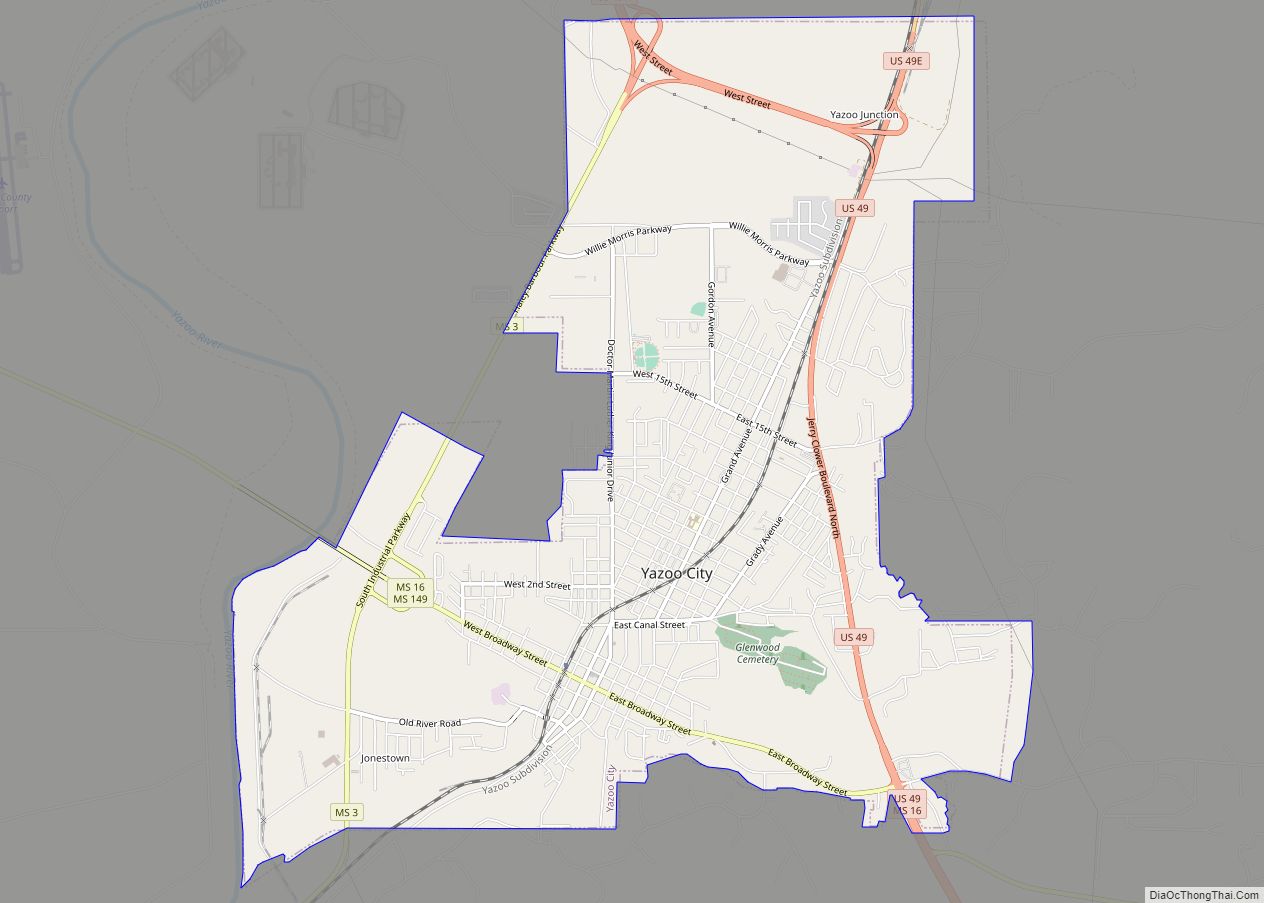
Bentonia is a town in Yazoo County, Mississippi, United States. The population as of the 2020 census was 319.
The Bentonia School of blues singing and guitar-playing is named for Bentonia.
| Name: | Bentonia town |
|---|---|
| LSAD Code: | 43 |
| LSAD Description: | town (suffix) |
| State: | Mississippi |
| County: | Yazoo County |
| Elevation: | 197 ft (60 m) |
| Total Area: | 1.42 sq mi (3.69 km²) |
| Land Area: | 1.42 sq mi (3.69 km²) |
| Water Area: | 0.00 sq mi (0.00 km²) |
| Total Population: | 319 |
| Population Density: | 224.02/sq mi (86.47/km²) |
| ZIP code: | 39040 |
| Area code: | 662 |
| FIPS code: | 2805380 |
| GNISfeature ID: | 0666837 |
| Website: | townofbentonia.com |
Online Interactive Map
Click on ![]() to view map in "full screen" mode.
to view map in "full screen" mode.
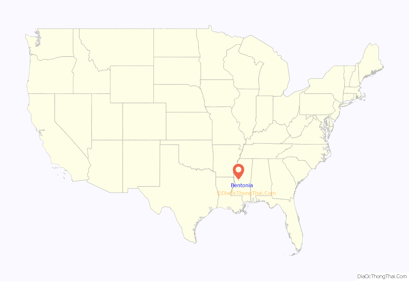
Bentonia location map. Where is Bentonia town?
History
Bentonia began as a postal town along the Illinois Central Railway. It is named for an early resident. Bentonia had a population of 167 in 1900.
Bentonia Blues
The Bentonia School, “Bentonia-style” or “Bentonia Blues” describe a country blues style that originated in and immediately around Bentonia. The annual Bentonia Blues Festival is held in June in Bentonia. The festival’s stage is set up in front of the Blue Front Cafe, which is operated by Jimmy “Duck” Holmes who, as a young man, learned the local style from Bentonia Blues musician Jack Owens.
Three markers on the Mississippi Blues Trail are located in Bentonia: one each to musicians Skip James and Jack Owens, and one located at the Blue Front Café.
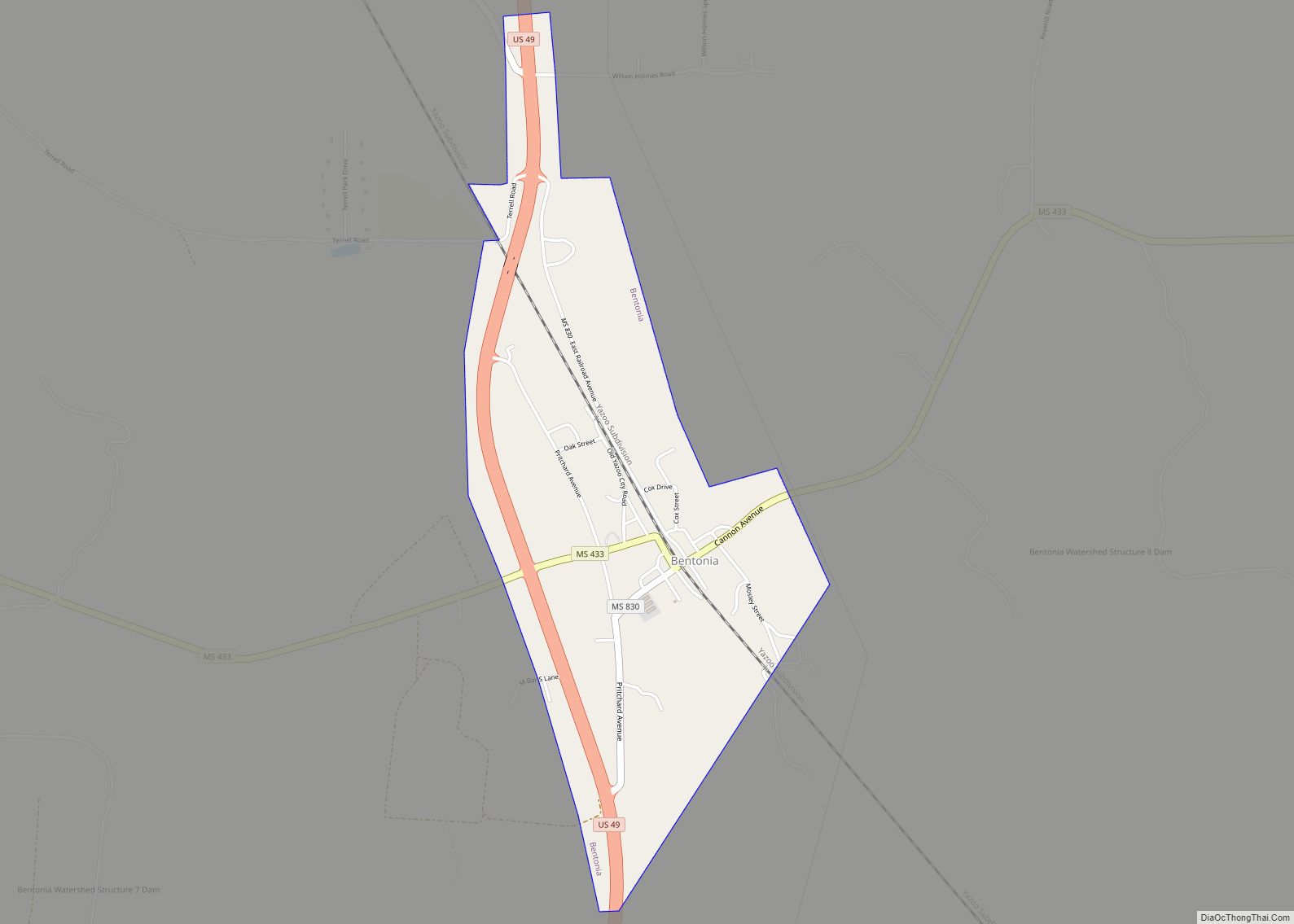
Bentonia Road Map
Bentonia city Satellite Map
Geography
According to the United States Census Bureau, the town has a total area of 1.4 square miles (3.6 km), all land.
See also
Map of Mississippi State and its subdivision:- Adams
- Alcorn
- Amite
- Attala
- Benton
- Bolivar
- Calhoun
- Carroll
- Chickasaw
- Choctaw
- Claiborne
- Clarke
- Clay
- Coahoma
- Copiah
- Covington
- Desoto
- Forrest
- Franklin
- George
- Greene
- Grenada
- Hancock
- Harrison
- Hinds
- Holmes
- Humphreys
- Issaquena
- Itawamba
- Jackson
- Jasper
- Jefferson
- Jefferson Davis
- Jones
- Kemper
- Lafayette
- Lamar
- Lauderdale
- Lawrence
- Leake
- Lee
- Leflore
- Lincoln
- Lowndes
- Madison
- Marion
- Marshall
- Monroe
- Montgomery
- Neshoba
- Newton
- Noxubee
- Oktibbeha
- Panola
- Pearl River
- Perry
- Pike
- Pontotoc
- Prentiss
- Quitman
- Rankin
- Scott
- Sharkey
- Simpson
- Smith
- Stone
- Sunflower
- Tallahatchie
- Tate
- Tippah
- Tishomingo
- Tunica
- Union
- Walthall
- Warren
- Washington
- Wayne
- Webster
- Wilkinson
- Winston
- Yalobusha
- Yazoo
- Alabama
- Alaska
- Arizona
- Arkansas
- California
- Colorado
- Connecticut
- Delaware
- District of Columbia
- Florida
- Georgia
- Hawaii
- Idaho
- Illinois
- Indiana
- Iowa
- Kansas
- Kentucky
- Louisiana
- Maine
- Maryland
- Massachusetts
- Michigan
- Minnesota
- Mississippi
- Missouri
- Montana
- Nebraska
- Nevada
- New Hampshire
- New Jersey
- New Mexico
- New York
- North Carolina
- North Dakota
- Ohio
- Oklahoma
- Oregon
- Pennsylvania
- Rhode Island
- South Carolina
- South Dakota
- Tennessee
- Texas
- Utah
- Vermont
- Virginia
- Washington
- West Virginia
- Wisconsin
- Wyoming
