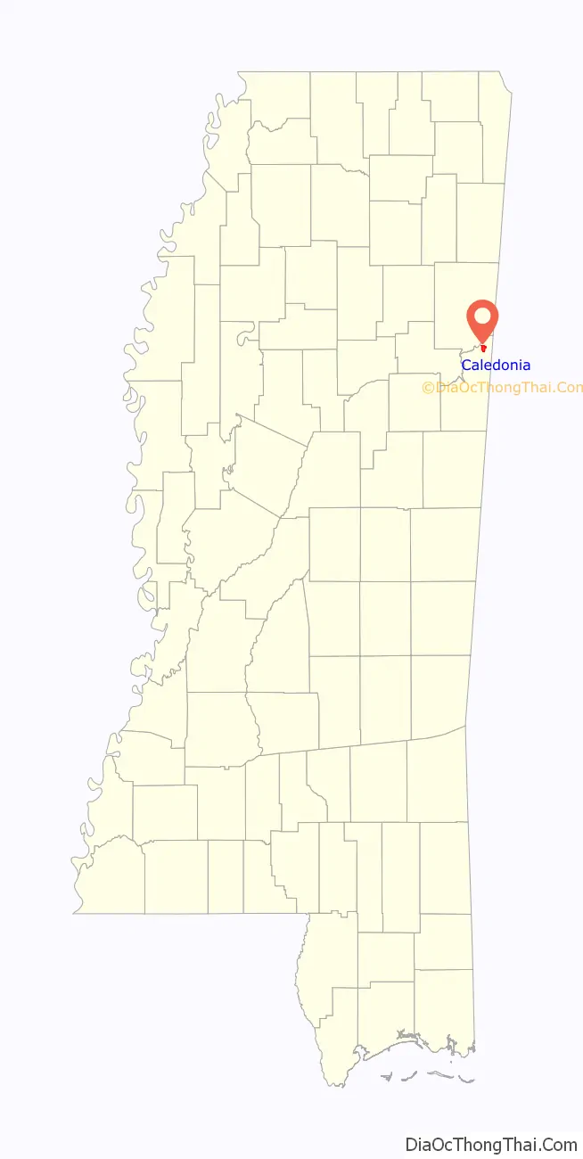
Caledonia is a town in Lowndes County, Mississippi, United States, northeast of Columbus. The population was 1,041 at the 2010 census.
| Name: | Caledonia town |
|---|---|
| LSAD Code: | 43 |
| LSAD Description: | town (suffix) |
| State: | Mississippi |
| County: | Lowndes County |
| Elevation: | 335 ft (102 m) |
| Total Area: | 2.83 sq mi (7.32 km²) |
| Land Area: | 2.83 sq mi (7.32 km²) |
| Water Area: | 0.00 sq mi (0.01 km²) |
| Total Population: | 1,135 |
| Population Density: | 401.77/sq mi (155.13/km²) |
| FIPS code: | 2810460 |
| GNISfeature ID: | 667916 |
Online Interactive Map
Click on ![]() to view map in "full screen" mode.
to view map in "full screen" mode.
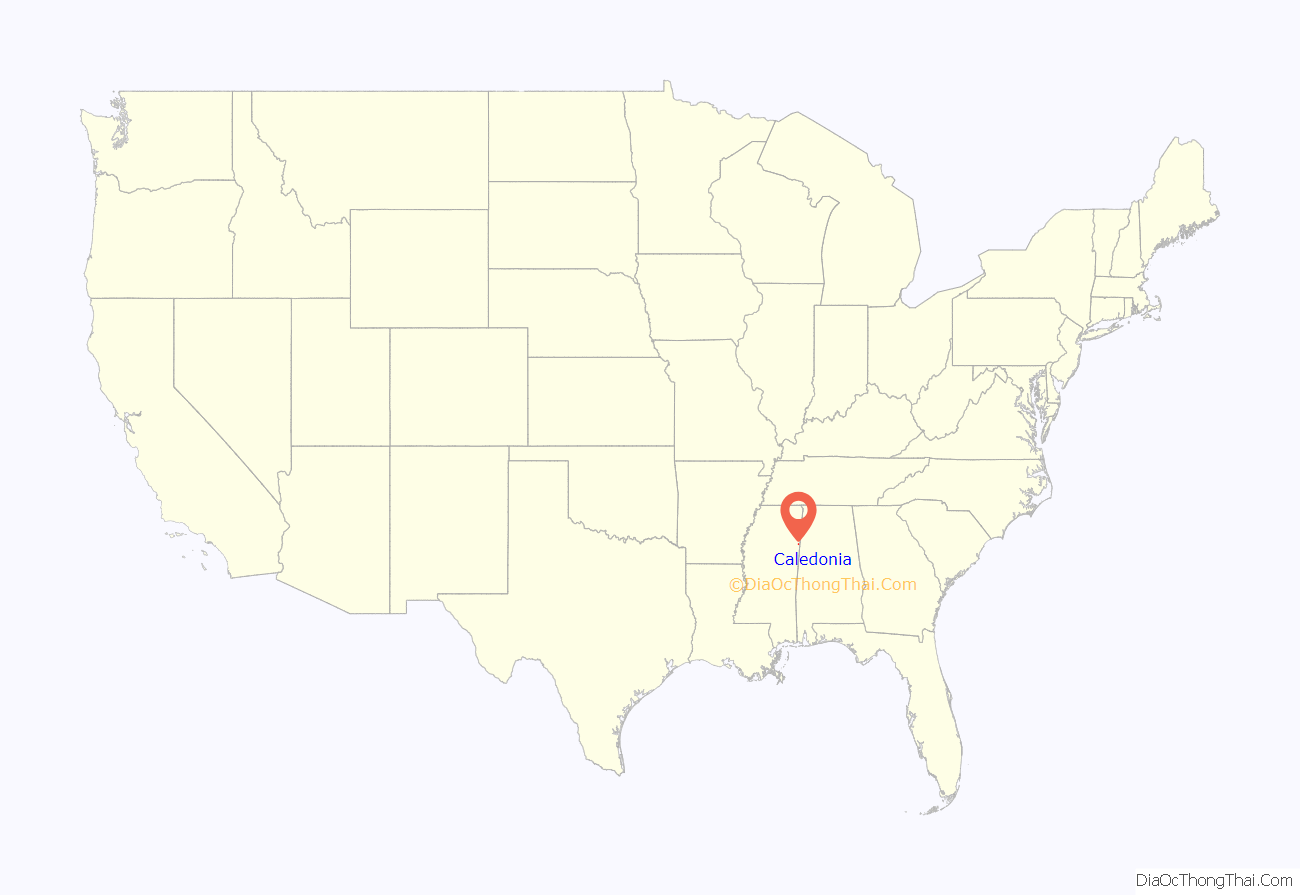
Caledonia location map. Where is Caledonia town?
History
Caledonia was first settled in the 1820s by settlers from Tennessee, Kentucky, Georgia, Alabama, North Carolina, and South Carolina. It was likely named after Caledonia, as many of the settlers were Scots-Irish. A post office first opened in Caledonia in December 1836 and operated under the name Ridgeway. By 1840, the community was home to a bank and hat factory. In 1900, the population of Caledonia was 201.
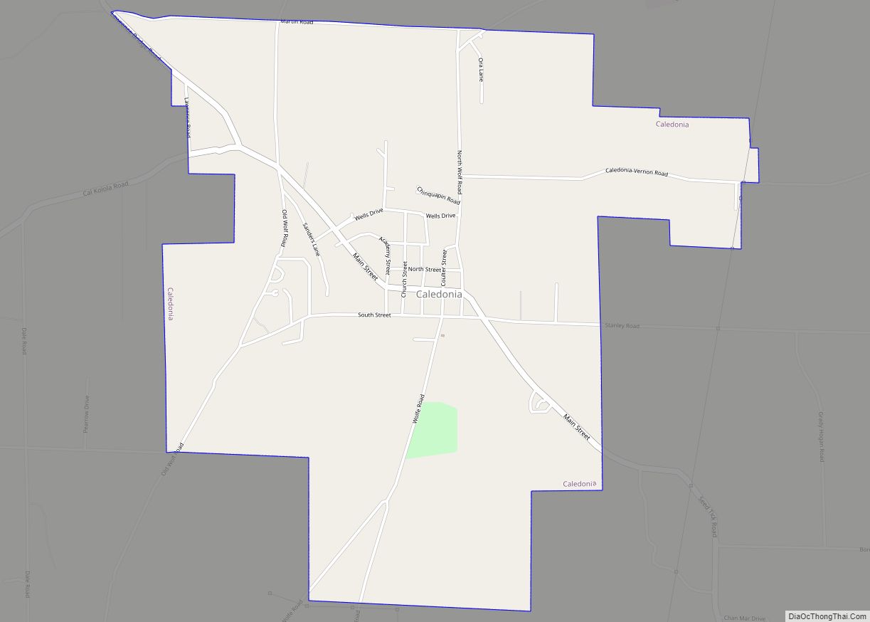
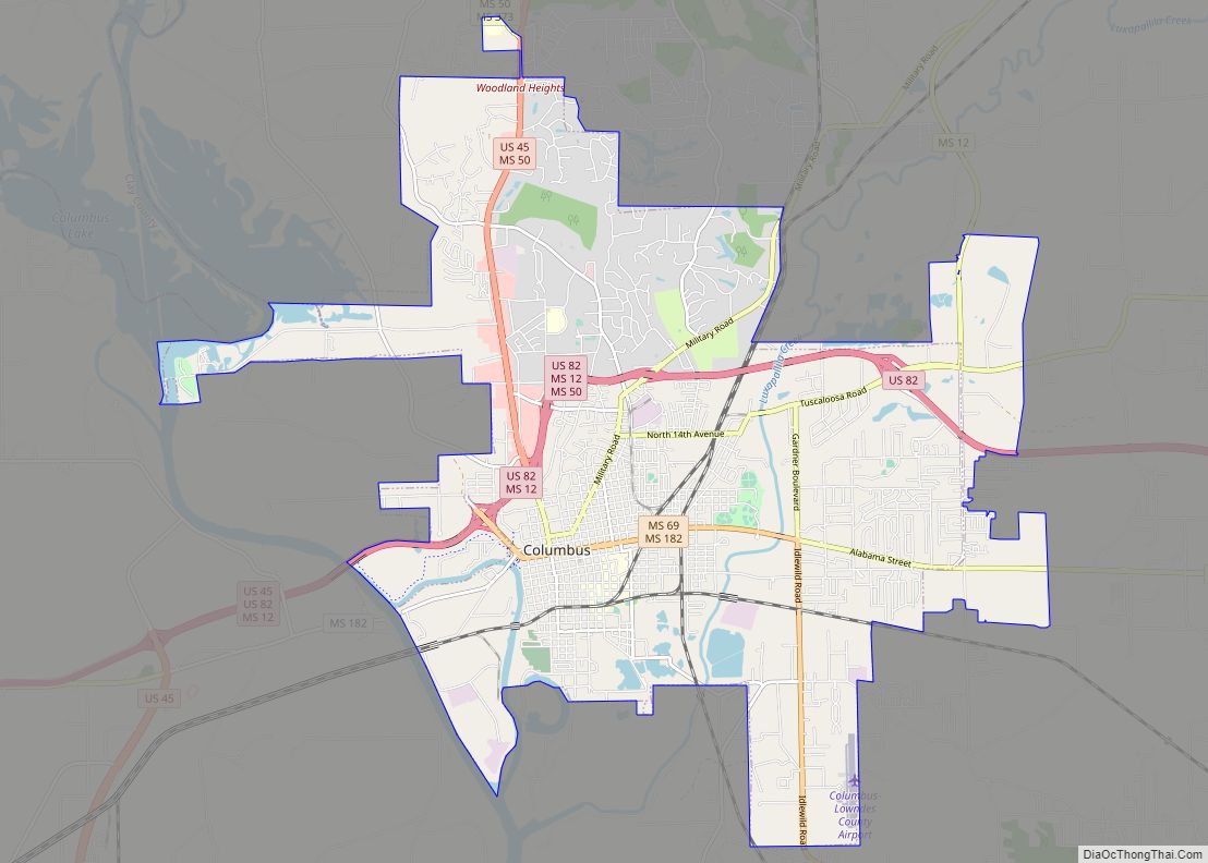
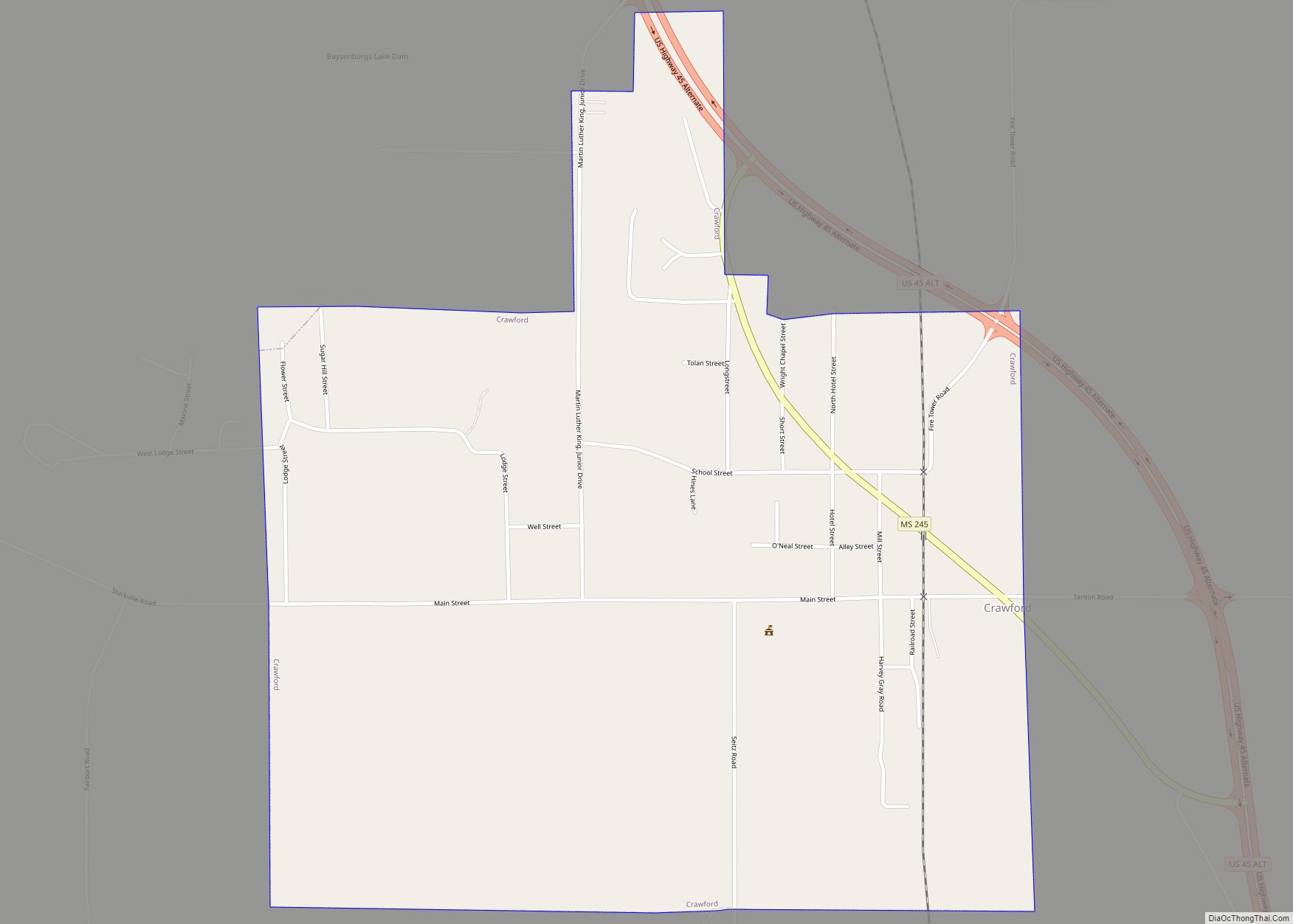
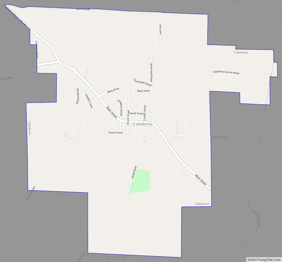
Caledonia Road Map
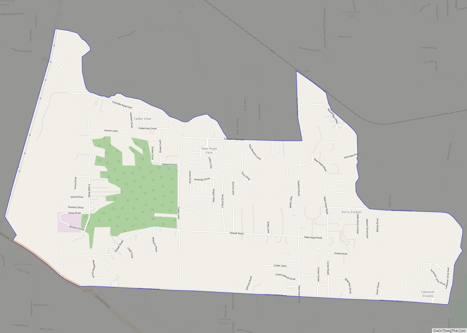
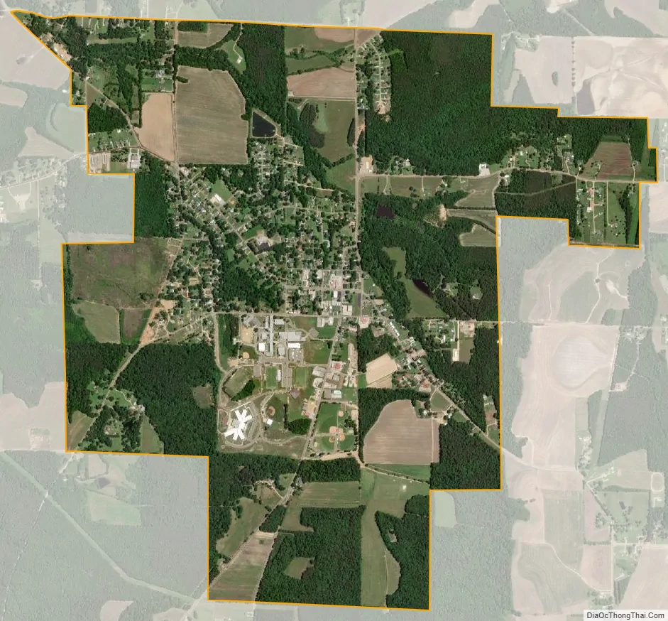
Caledonia city Satellite Map
Geography
According to the United States Census Bureau, the town has a total area of 2.8 square miles (7.3 km), of which 2.8 square miles (7.3 km) is land and 0.35% is water.
Climate
See also
Map of Mississippi State and its subdivision:- Adams
- Alcorn
- Amite
- Attala
- Benton
- Bolivar
- Calhoun
- Carroll
- Chickasaw
- Choctaw
- Claiborne
- Clarke
- Clay
- Coahoma
- Copiah
- Covington
- Desoto
- Forrest
- Franklin
- George
- Greene
- Grenada
- Hancock
- Harrison
- Hinds
- Holmes
- Humphreys
- Issaquena
- Itawamba
- Jackson
- Jasper
- Jefferson
- Jefferson Davis
- Jones
- Kemper
- Lafayette
- Lamar
- Lauderdale
- Lawrence
- Leake
- Lee
- Leflore
- Lincoln
- Lowndes
- Madison
- Marion
- Marshall
- Monroe
- Montgomery
- Neshoba
- Newton
- Noxubee
- Oktibbeha
- Panola
- Pearl River
- Perry
- Pike
- Pontotoc
- Prentiss
- Quitman
- Rankin
- Scott
- Sharkey
- Simpson
- Smith
- Stone
- Sunflower
- Tallahatchie
- Tate
- Tippah
- Tishomingo
- Tunica
- Union
- Walthall
- Warren
- Washington
- Wayne
- Webster
- Wilkinson
- Winston
- Yalobusha
- Yazoo
- Alabama
- Alaska
- Arizona
- Arkansas
- California
- Colorado
- Connecticut
- Delaware
- District of Columbia
- Florida
- Georgia
- Hawaii
- Idaho
- Illinois
- Indiana
- Iowa
- Kansas
- Kentucky
- Louisiana
- Maine
- Maryland
- Massachusetts
- Michigan
- Minnesota
- Mississippi
- Missouri
- Montana
- Nebraska
- Nevada
- New Hampshire
- New Jersey
- New Mexico
- New York
- North Carolina
- North Dakota
- Ohio
- Oklahoma
- Oregon
- Pennsylvania
- Rhode Island
- South Carolina
- South Dakota
- Tennessee
- Texas
- Utah
- Vermont
- Virginia
- Washington
- West Virginia
- Wisconsin
- Wyoming