Conehatta is a census-designated place (CDP) in Newton County, Mississippi. The population was 997 at the 2000 census. It is one of the eight communities included in the Mississippi Band of Choctaw Indians Reservation and the population is 76% Choctaw.
The community takes its name from Conehatta Creek.
| Name: | Conehatta CDP |
|---|---|
| LSAD Code: | 57 |
| LSAD Description: | CDP (suffix) |
| State: | Mississippi |
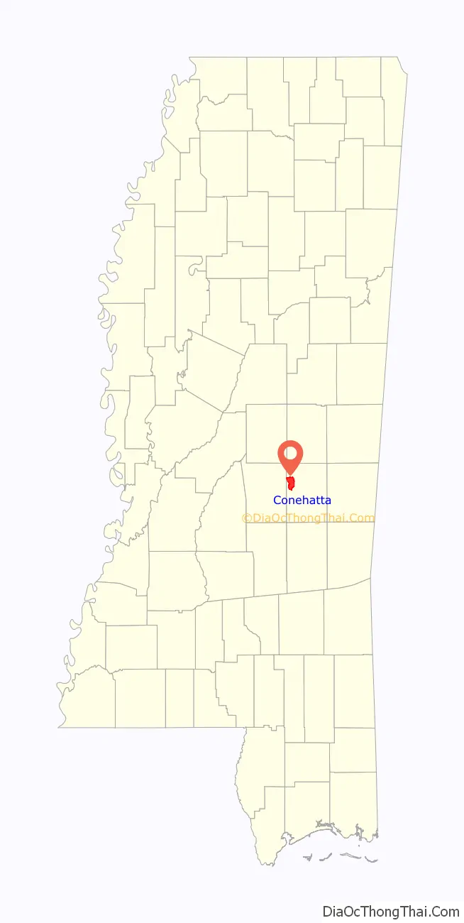
| County: | Newton County |
| Elevation: | 482 ft (147 m) |
| Total Area: | 15.81 sq mi (40.93 km²) |
| Land Area: | 15.69 sq mi (40.65 km²) |
| Water Area: | 0.11 sq mi (0.29 km²) |
| Total Population: | 1,376 |
| Population Density: | 87.68/sq mi (33.85/km²) |
| ZIP code: | 39057 |
| Area code: | 601 |
| FIPS code: | 2815540 |
| GNISfeature ID: | 0668759 |
Online Interactive Map
Click on ![]() to view map in "full screen" mode.
to view map in "full screen" mode.
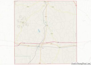
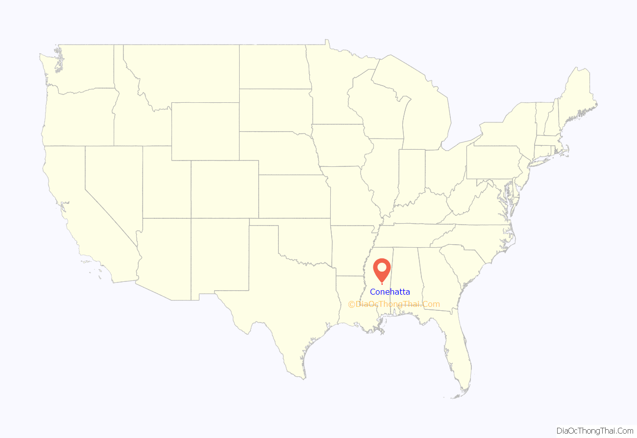
Conehatta location map. Where is Conehatta CDP?
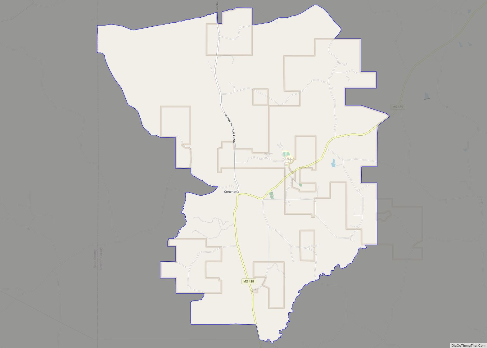
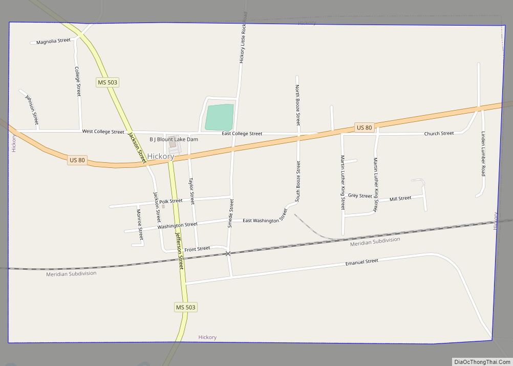
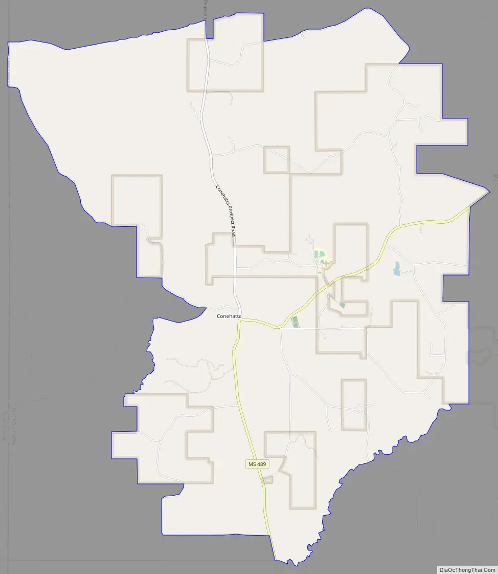
Conehatta Road Map
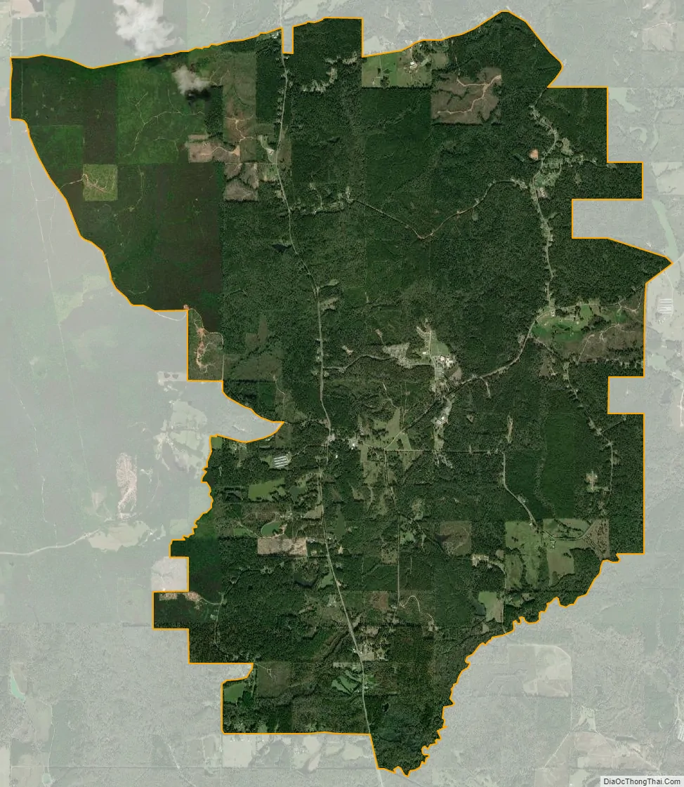
Conehatta city Satellite Map
Geography
Conehatta is located at 32°27′27″N 89°16′16″W / 32.45750°N 89.27111°W / 32.45750; -89.27111 (32.457541, -89.271151).
According to the United States Census Bureau, the CDP has a total area of 16.0 square miles (41 km), of which 15.9 square miles (41 km) is land and 0.1 square miles (0.26 km) (0.56%) is water.
See also
Map of Mississippi State and its subdivision:- Adams
- Alcorn
- Amite
- Attala
- Benton
- Bolivar
- Calhoun
- Carroll
- Chickasaw
- Choctaw
- Claiborne
- Clarke
- Clay
- Coahoma
- Copiah
- Covington
- Desoto
- Forrest
- Franklin
- George
- Greene
- Grenada
- Hancock
- Harrison
- Hinds
- Holmes
- Humphreys
- Issaquena
- Itawamba
- Jackson
- Jasper
- Jefferson
- Jefferson Davis
- Jones
- Kemper
- Lafayette
- Lamar
- Lauderdale
- Lawrence
- Leake
- Lee
- Leflore
- Lincoln
- Lowndes
- Madison
- Marion
- Marshall
- Monroe
- Montgomery
- Neshoba
- Newton
- Noxubee
- Oktibbeha
- Panola
- Pearl River
- Perry
- Pike
- Pontotoc
- Prentiss
- Quitman
- Rankin
- Scott
- Sharkey
- Simpson
- Smith
- Stone
- Sunflower
- Tallahatchie
- Tate
- Tippah
- Tishomingo
- Tunica
- Union
- Walthall
- Warren
- Washington
- Wayne
- Webster
- Wilkinson
- Winston
- Yalobusha
- Yazoo
- Alabama
- Alaska
- Arizona
- Arkansas
- California
- Colorado
- Connecticut
- Delaware
- District of Columbia
- Florida
- Georgia
- Hawaii
- Idaho
- Illinois
- Indiana
- Iowa
- Kansas
- Kentucky
- Louisiana
- Maine
- Maryland
- Massachusetts
- Michigan
- Minnesota
- Mississippi
- Missouri
- Montana
- Nebraska
- Nevada
- New Hampshire
- New Jersey
- New Mexico
- New York
- North Carolina
- North Dakota
- Ohio
- Oklahoma
- Oregon
- Pennsylvania
- Rhode Island
- South Carolina
- South Dakota
- Tennessee
- Texas
- Utah
- Vermont
- Virginia
- Washington
- West Virginia
- Wisconsin
- Wyoming