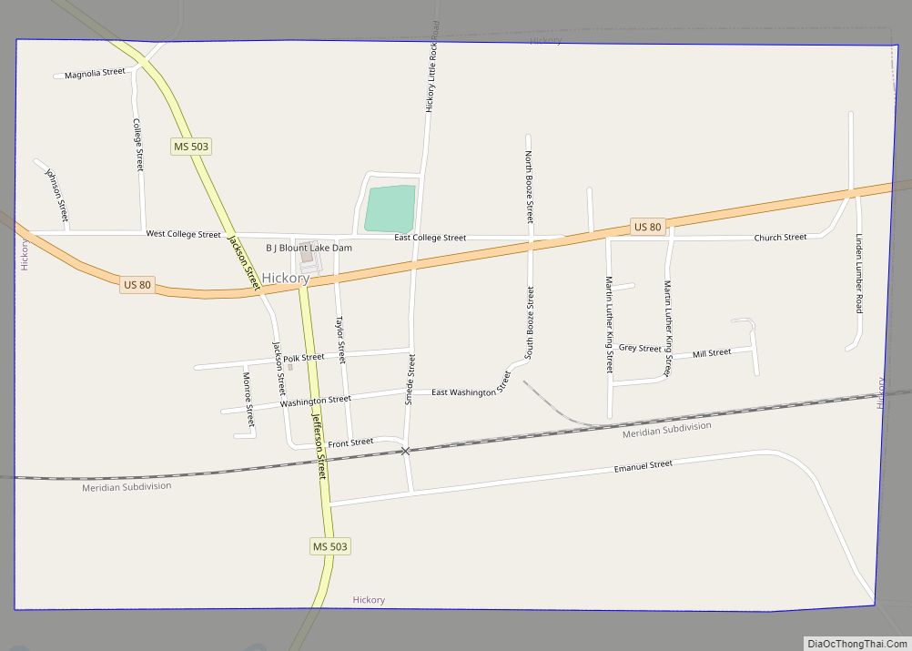
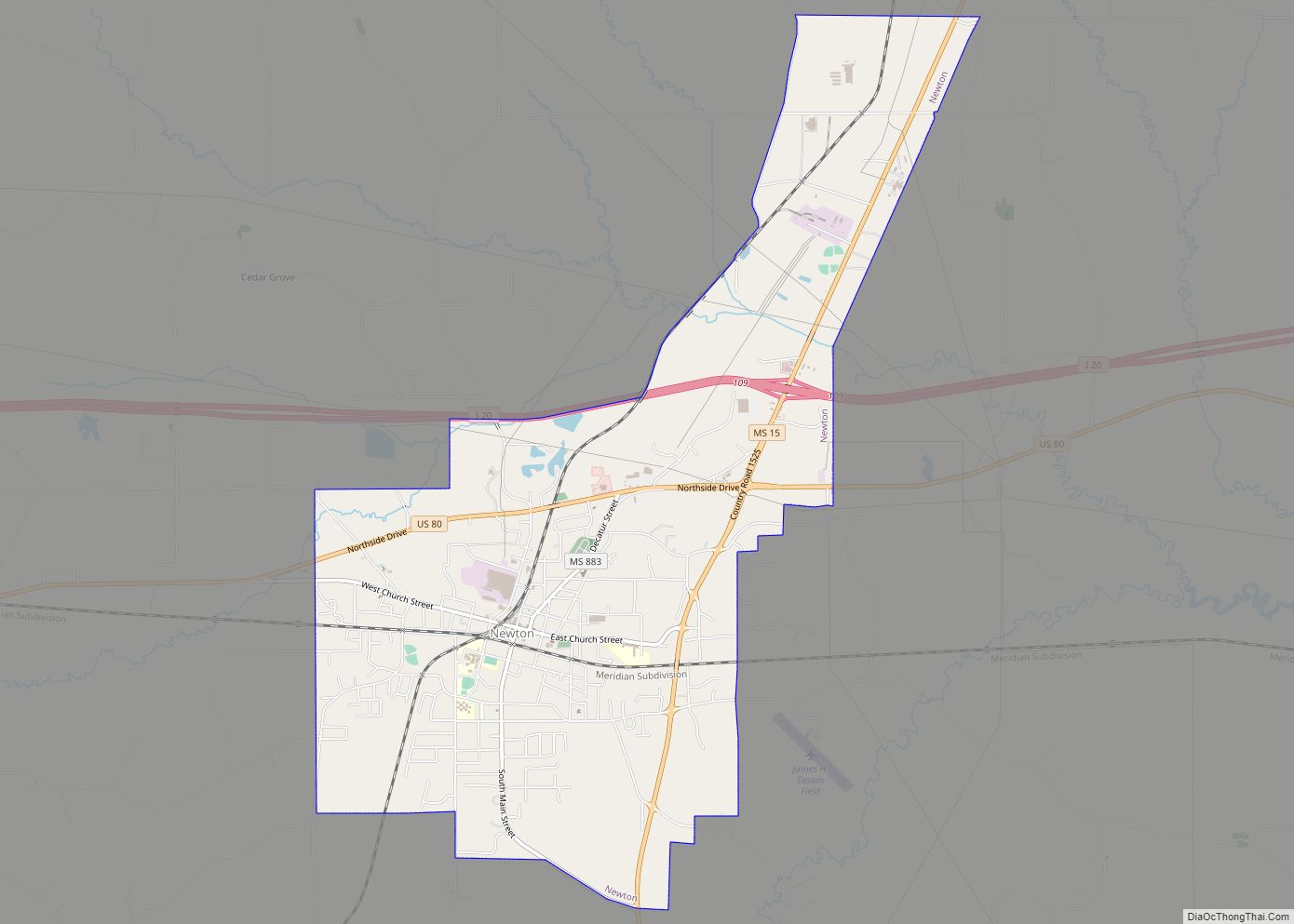
Chunky is a town in Newton County, Mississippi, United States. The population was 344 at the 2000 census.
| Name: | Chunky town |
|---|---|
| LSAD Code: | 43 |
| LSAD Description: | town (suffix) |
| State: | Mississippi |
| County: | Newton County |
| Elevation: | 318 ft (97 m) |
| Total Area: | 0.83 sq mi (2.16 km²) |
| Land Area: | 0.83 sq mi (2.16 km²) |
| Water Area: | 0.00 sq mi (0.00 km²) |
| Total Population: | 272 |
| Population Density: | 326.14/sq mi (125.99/km²) |
| ZIP code: | 39323 |
| Area code: | 601 |
| FIPS code: | 2813580 |
| GNISfeature ID: | 668441 |
Online Interactive Map
Click on ![]() to view map in "full screen" mode.
to view map in "full screen" mode.
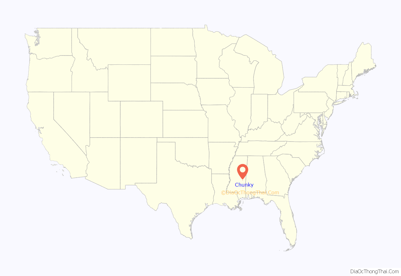
Chunky location map. Where is Chunky town?
History
The town has roots as a Choctaw village named Chanki Chitto, which was named after the Choctaw game Tchungkee, a game played with spears and polished stones. In 1811, the native American leader Tecumseh visited the village as he was building a confederacy of native American tribes. In 1848, the town of Chunkyville was established on the location. In 1861, upon news that a railway was to be built in the vicinity, Chunkyville was moved to its present location and was incorporated that year.
In 1863 a train carrying injured confederate veterans on the Southern Railroad crashed in Chunky. In 1864, a force commanded by William T. Sherman attacked two brigades of Confederate troops commanded by Stephen D. Lee and captured the Chunky railway station.
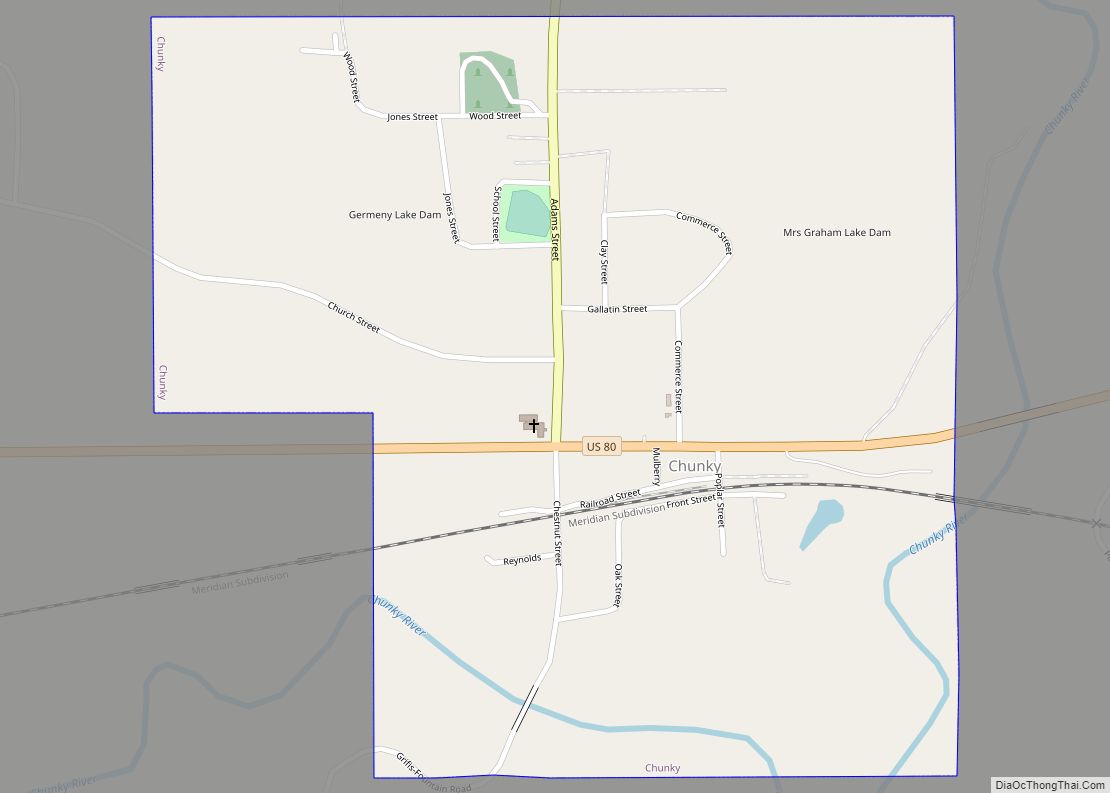
Chunky Road Map
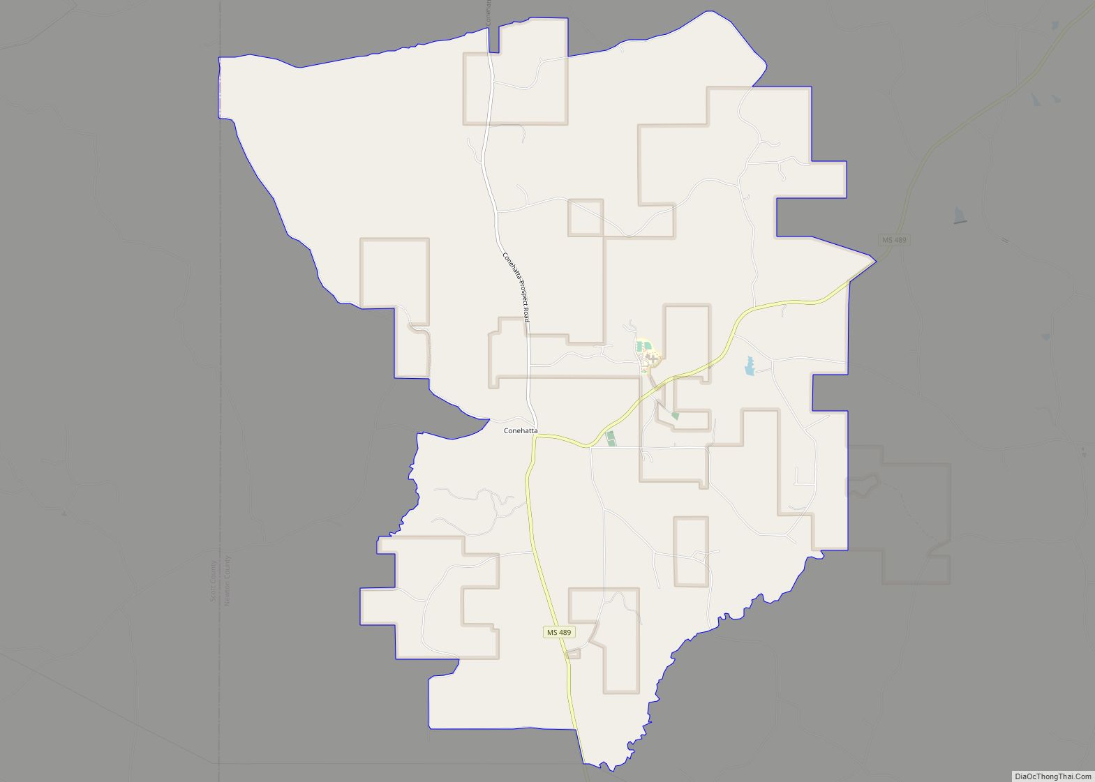
Chunky city Satellite Map
Geography
Chunky is located along the Chunky River. According to the United States Census Bureau, the town has a total area of 0.8 square miles (2.1 km), all land. Chunky is located 10 miles (16 km) west of Meridian. U.S. 80 passes through the town.
See also
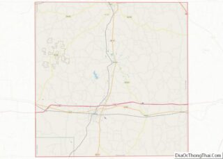
Map of Mississippi State and its subdivision:- Adams
- Alcorn
- Amite
- Attala
- Benton
- Bolivar
- Calhoun
- Carroll
- Chickasaw
- Choctaw
- Claiborne
- Clarke
- Clay
- Coahoma
- Copiah
- Covington
- Desoto
- Forrest
- Franklin
- George
- Greene
- Grenada
- Hancock
- Harrison
- Hinds
- Holmes
- Humphreys
- Issaquena
- Itawamba
- Jackson
- Jasper
- Jefferson
- Jefferson Davis
- Jones
- Kemper
- Lafayette
- Lamar
- Lauderdale
- Lawrence
- Leake
- Lee
- Leflore
- Lincoln
- Lowndes
- Madison
- Marion
- Marshall
- Monroe
- Montgomery
- Neshoba
- Newton
- Noxubee
- Oktibbeha
- Panola
- Pearl River
- Perry
- Pike
- Pontotoc
- Prentiss
- Quitman
- Rankin
- Scott
- Sharkey
- Simpson
- Smith
- Stone
- Sunflower
- Tallahatchie
- Tate
- Tippah
- Tishomingo
- Tunica
- Union
- Walthall
- Warren
- Washington
- Wayne
- Webster
- Wilkinson
- Winston
- Yalobusha
- Yazoo
- Alabama
- Alaska
- Arizona
- Arkansas
- California
- Colorado
- Connecticut
- Delaware
- District of Columbia
- Florida
- Georgia
- Hawaii
- Idaho
- Illinois
- Indiana
- Iowa
- Kansas
- Kentucky
- Louisiana
- Maine
- Maryland
- Massachusetts
- Michigan
- Minnesota
- Mississippi
- Missouri
- Montana
- Nebraska
- Nevada
- New Hampshire
- New Jersey
- New Mexico
- New York
- North Carolina
- North Dakota
- Ohio
- Oklahoma
- Oregon
- Pennsylvania
- Rhode Island
- South Carolina
- South Dakota
- Tennessee
- Texas
- Utah
- Vermont
- Virginia
- Washington
- West Virginia
- Wisconsin
- Wyoming
