Crawford is a small town in Lowndes County, Mississippi, United States. The population was 641 at the 2010 census.
| Name: | Crawford town |
|---|---|
| LSAD Code: | 43 |
| LSAD Description: | town (suffix) |
| State: | Mississippi |
| County: | Lowndes County |
| Elevation: | 312 ft (95 m) |
| Total Area: | 1.40 sq mi (3.63 km²) |
| Land Area: | 1.40 sq mi (3.63 km²) |
| Water Area: | 0.00 sq mi (0.00 km²) |
| Total Population: | 415 |
| Population Density: | 296.43/sq mi (114.44/km²) |
| ZIP code: | 39743 |
| Area code: | 662 |
| FIPS code: | 2816420 |
| GNISfeature ID: | 0668933 |
Online Interactive Map
Click on ![]() to view map in "full screen" mode.
to view map in "full screen" mode.
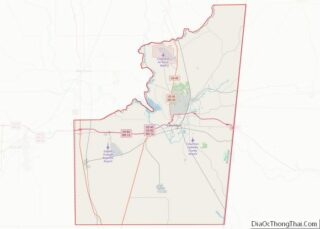
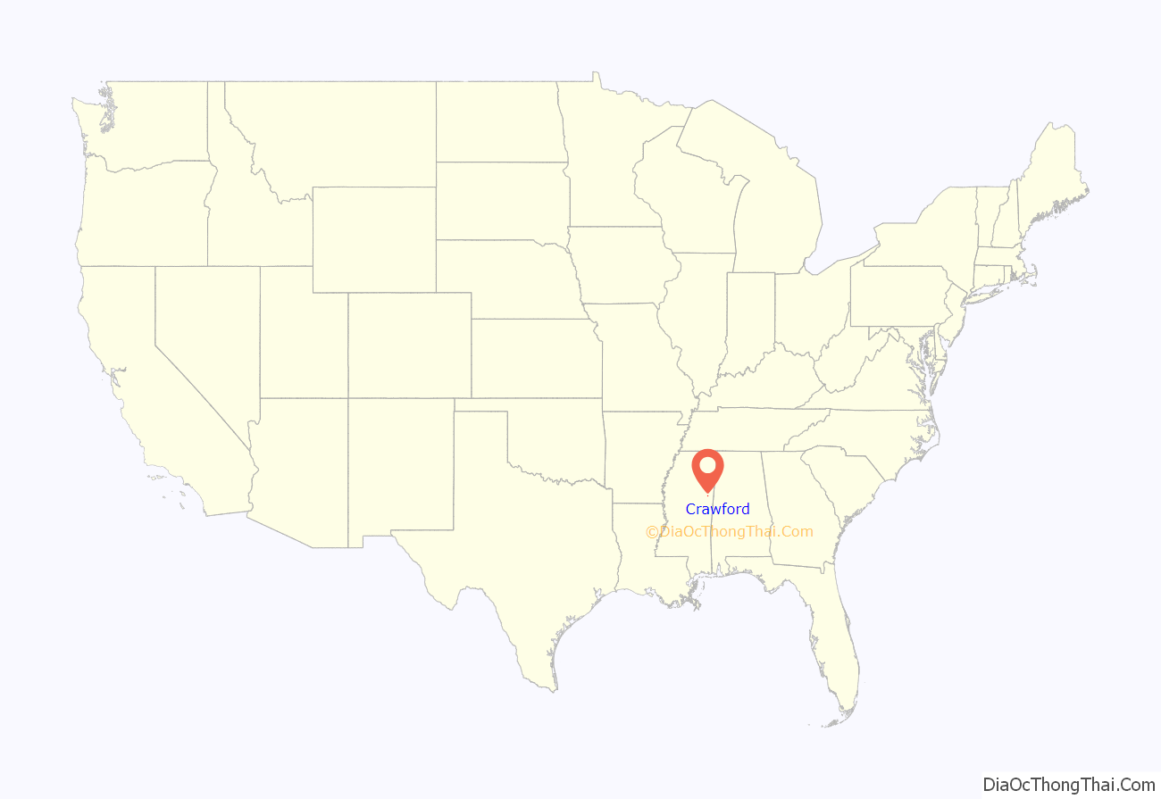
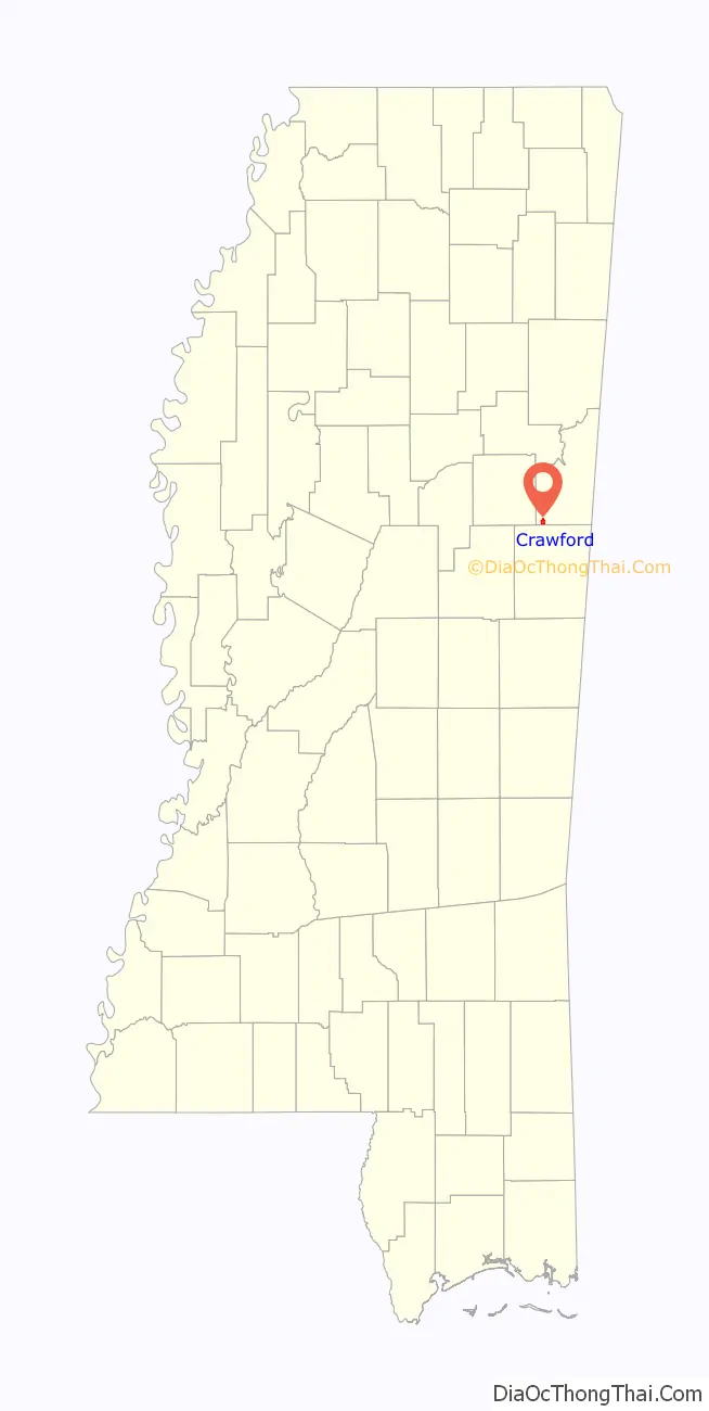
Crawford location map. Where is Crawford town?
History
During the 1840s, a Baptist minister named Peter Crawford lived in the area. When the town was platted in 1852, it was named Crawfordsville. This name was used until 1870, when it was shortened to Crawfordville. Finally in 1879 it was changed to Crawford.
The Mobile and Ohio Railroad came though Crawfordsville in 1857.
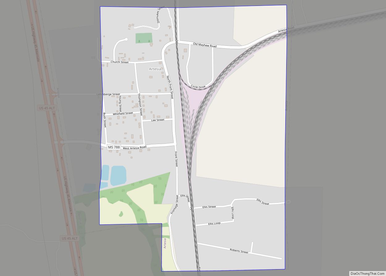
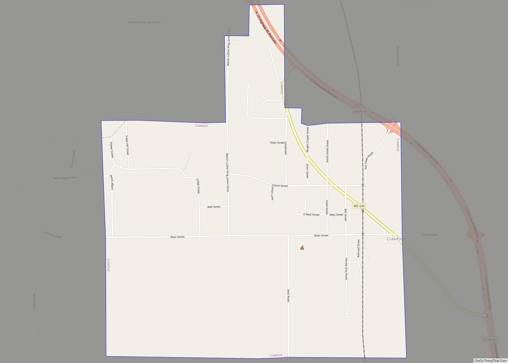
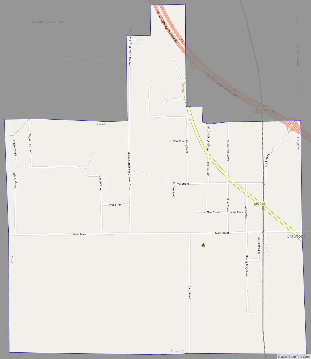
Crawford Road Map
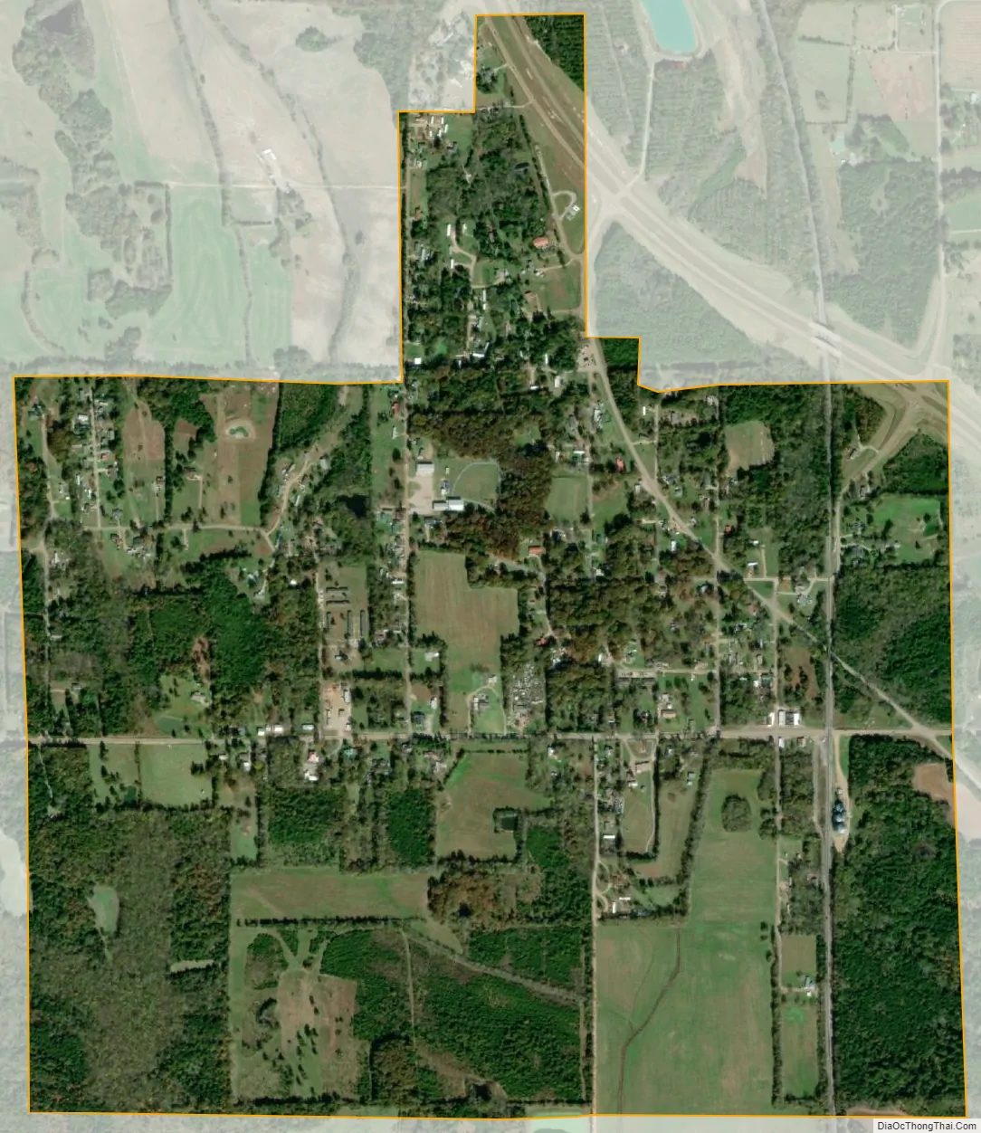
Crawford city Satellite Map
Geography
Crawford is located at 33°18′22″N 88°37′19″W / 33.30611°N 88.62194°W / 33.30611; -88.62194 (33.306205, -88.621933).
According to the United States Census Bureau, the town has a total area of 1.4 square miles (3.6 km), all land.
See also
Map of Mississippi State and its subdivision:- Adams
- Alcorn
- Amite
- Attala
- Benton
- Bolivar
- Calhoun
- Carroll
- Chickasaw
- Choctaw
- Claiborne
- Clarke
- Clay
- Coahoma
- Copiah
- Covington
- Desoto
- Forrest
- Franklin
- George
- Greene
- Grenada
- Hancock
- Harrison
- Hinds
- Holmes
- Humphreys
- Issaquena
- Itawamba
- Jackson
- Jasper
- Jefferson
- Jefferson Davis
- Jones
- Kemper
- Lafayette
- Lamar
- Lauderdale
- Lawrence
- Leake
- Lee
- Leflore
- Lincoln
- Lowndes
- Madison
- Marion
- Marshall
- Monroe
- Montgomery
- Neshoba
- Newton
- Noxubee
- Oktibbeha
- Panola
- Pearl River
- Perry
- Pike
- Pontotoc
- Prentiss
- Quitman
- Rankin
- Scott
- Sharkey
- Simpson
- Smith
- Stone
- Sunflower
- Tallahatchie
- Tate
- Tippah
- Tishomingo
- Tunica
- Union
- Walthall
- Warren
- Washington
- Wayne
- Webster
- Wilkinson
- Winston
- Yalobusha
- Yazoo
- Alabama
- Alaska
- Arizona
- Arkansas
- California
- Colorado
- Connecticut
- Delaware
- District of Columbia
- Florida
- Georgia
- Hawaii
- Idaho
- Illinois
- Indiana
- Iowa
- Kansas
- Kentucky
- Louisiana
- Maine
- Maryland
- Massachusetts
- Michigan
- Minnesota
- Mississippi
- Missouri
- Montana
- Nebraska
- Nevada
- New Hampshire
- New Jersey
- New Mexico
- New York
- North Carolina
- North Dakota
- Ohio
- Oklahoma
- Oregon
- Pennsylvania
- Rhode Island
- South Carolina
- South Dakota
- Tennessee
- Texas
- Utah
- Vermont
- Virginia
- Washington
- West Virginia
- Wisconsin
- Wyoming