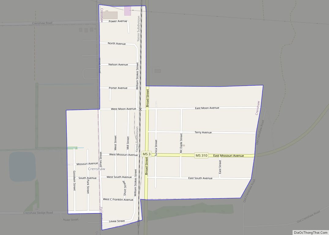
Crenshaw is a town in Panola and Quitman counties in the U.S. state of Mississippi. The population was 885 at the 2010 census.
| Name: | Crenshaw town |
|---|---|
| LSAD Code: | 43 |
| LSAD Description: | town (suffix) |
| State: | Mississippi |
| County: | Panola County, Quitman County |
| Elevation: | 180 ft (55 m) |
| Total Area: | 0.41 sq mi (1.06 km²) |
| Land Area: | 0.41 sq mi (1.06 km²) |
| Water Area: | 0.00 sq mi (0.00 km²) |
| Total Population: | 638 |
| Population Density: | 1,552.31/sq mi (599.36/km²) |
| ZIP code: | 38621 |
| Area code: | 662 |
| FIPS code: | 2816460 |
| GNISfeature ID: | 0668941 |
Online Interactive Map
Click on ![]() to view map in "full screen" mode.
to view map in "full screen" mode.
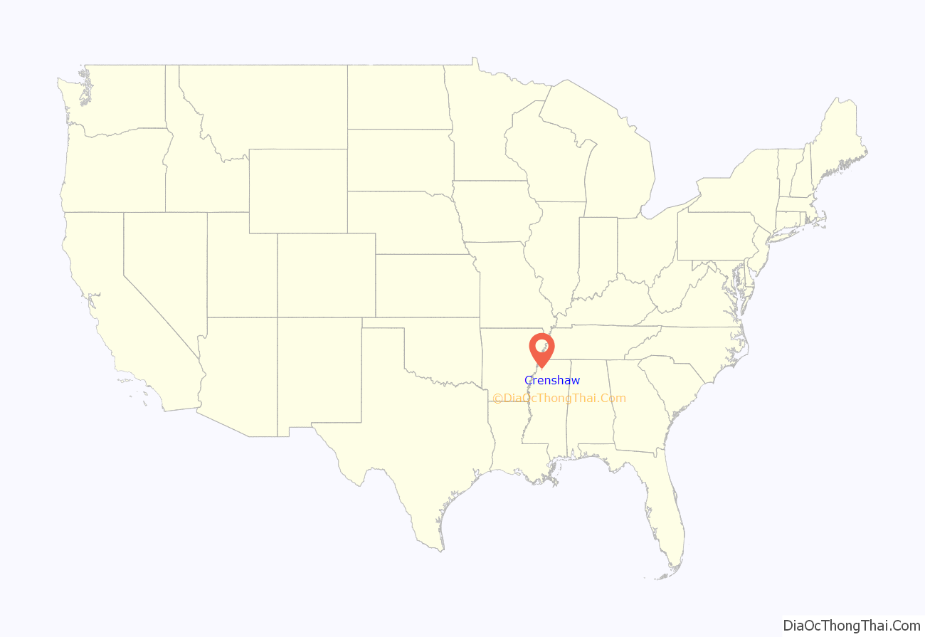
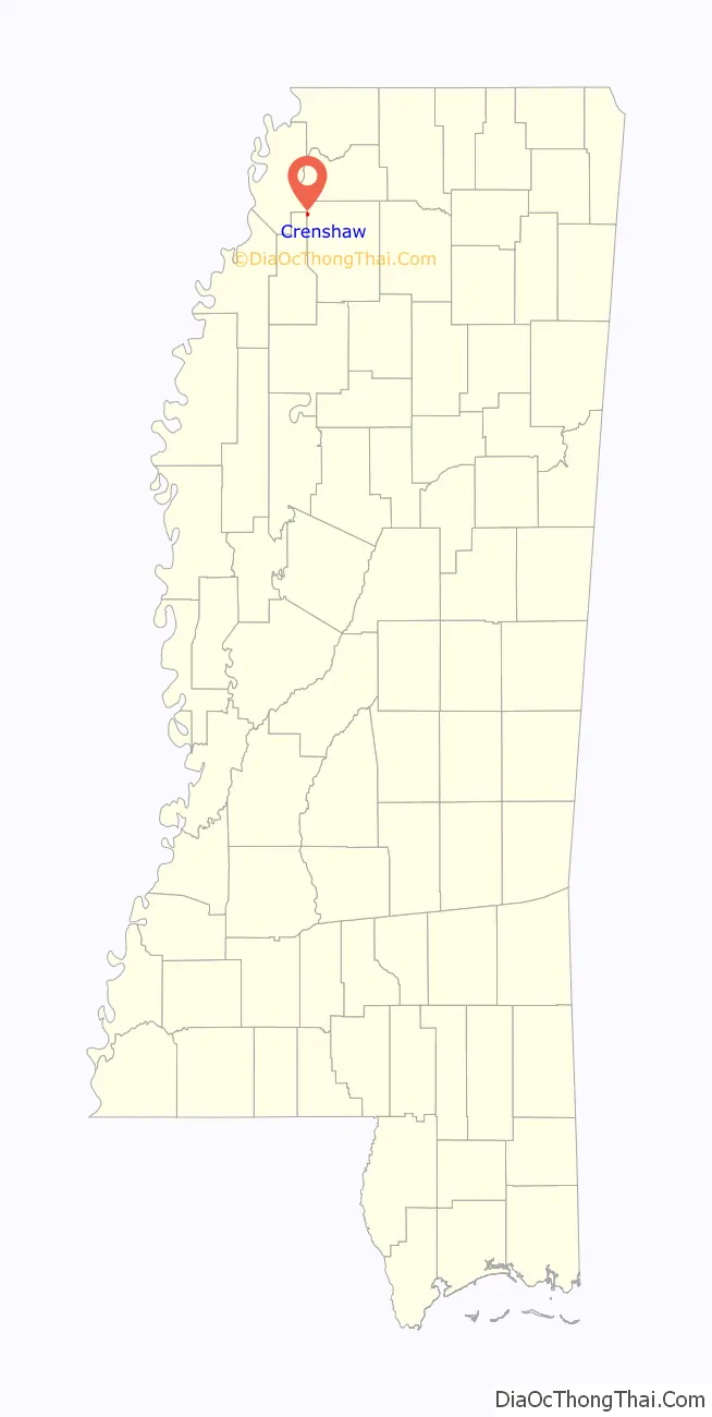
Crenshaw location map. Where is Crenshaw town?
History
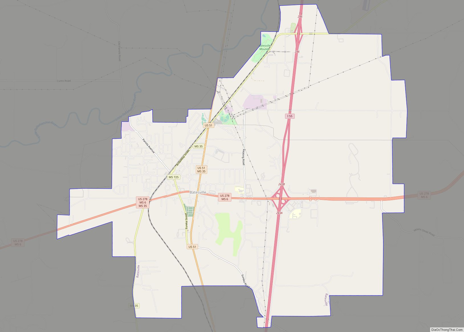
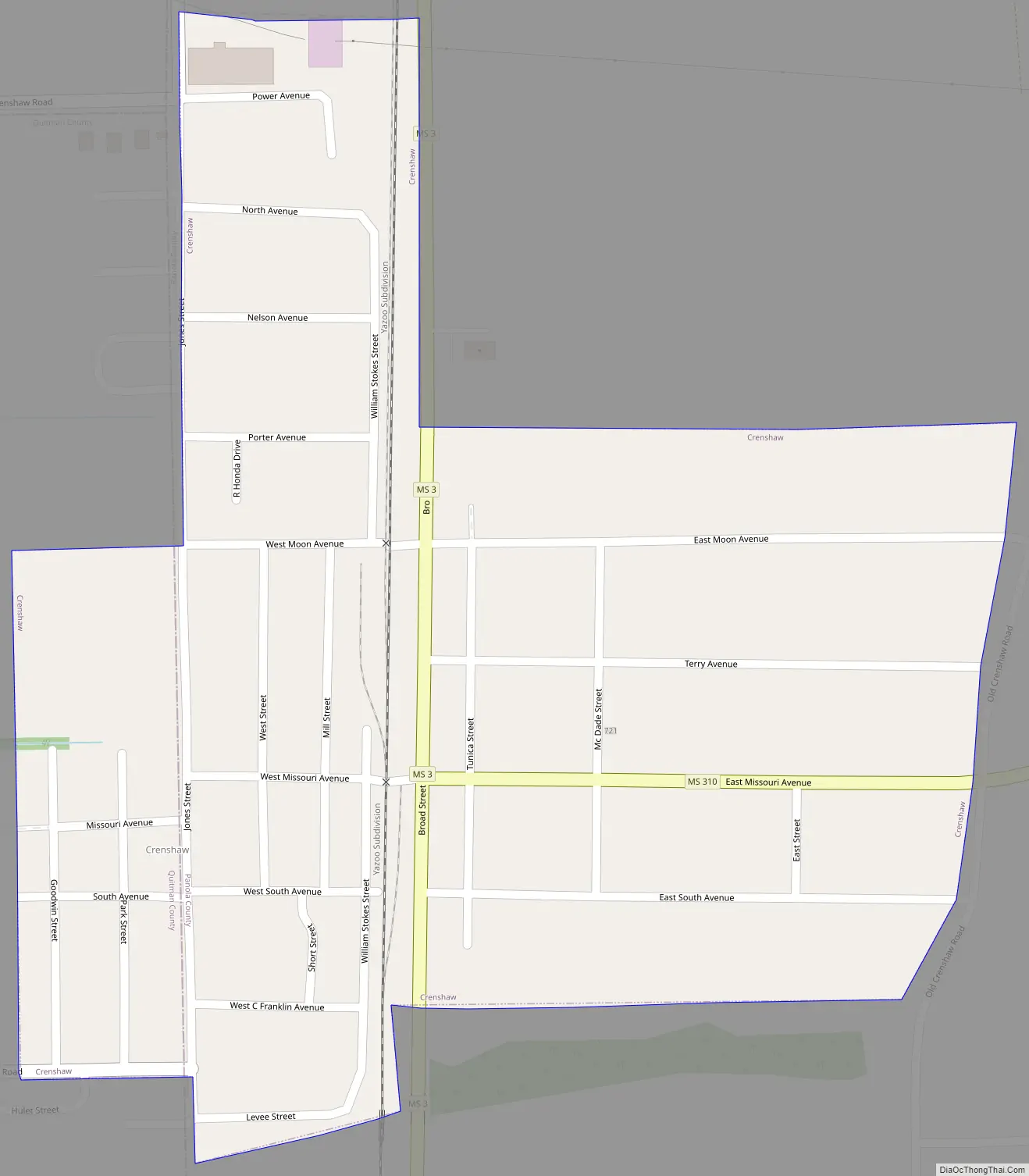
Crenshaw was located on the Yazoo and Mississippi Valley Railroad. By the early 1900s, Crenshaw had a post office, several stores, churches, schools, and a combined oil mill and cotton-gin. The Bank of Crenshaw was established in 1905.
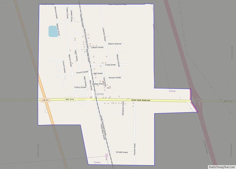
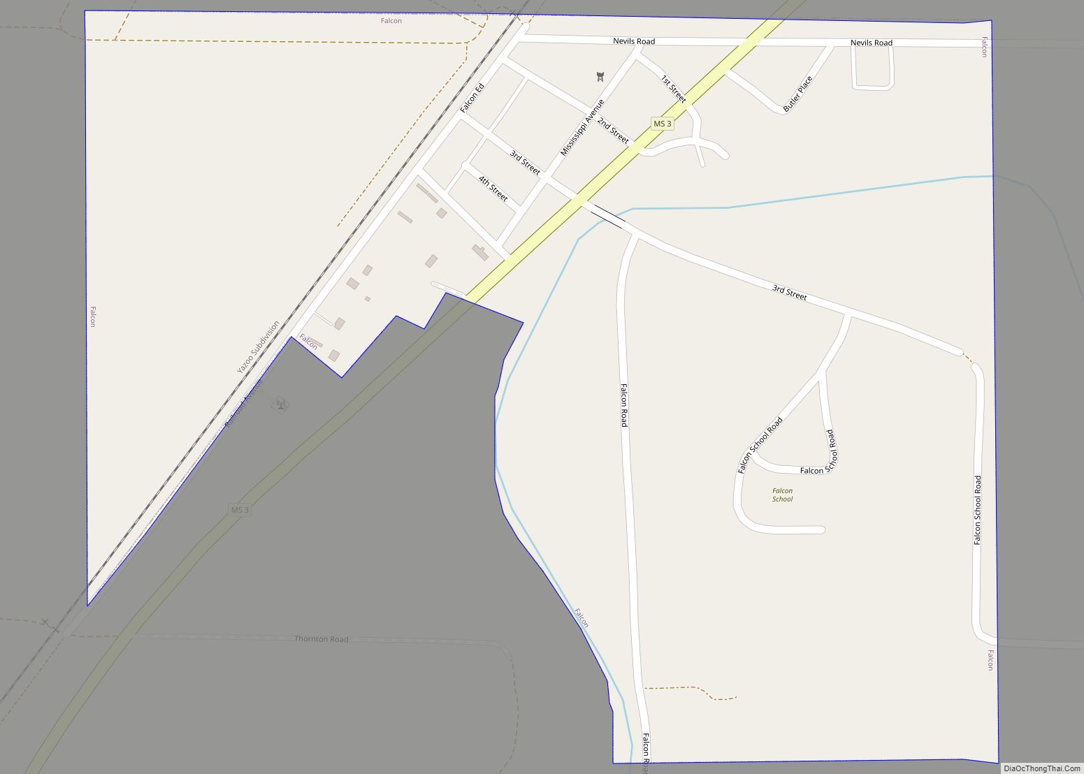
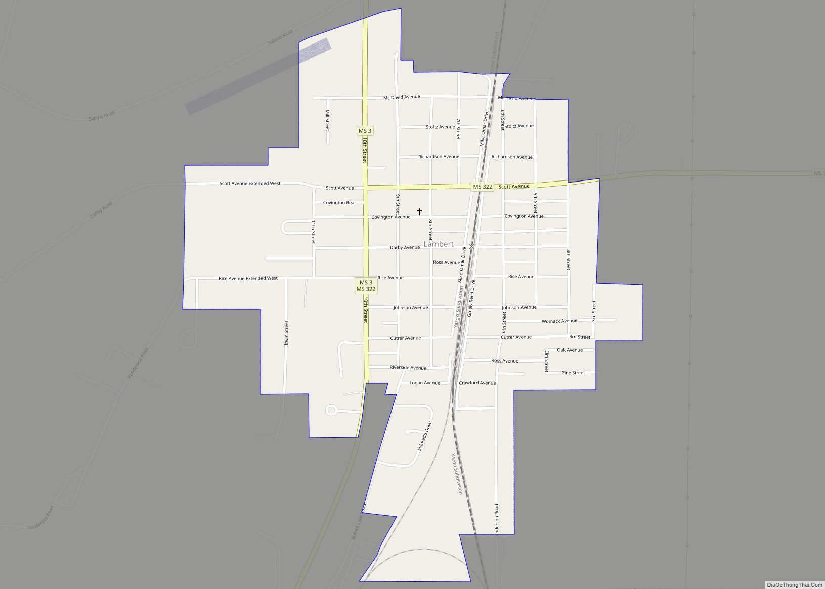
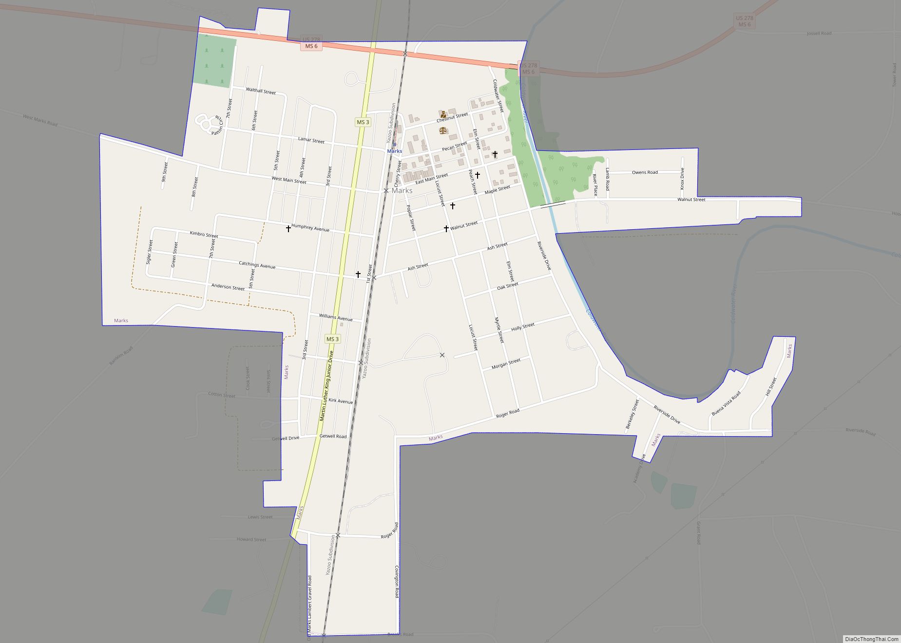
Crenshaw Road Map
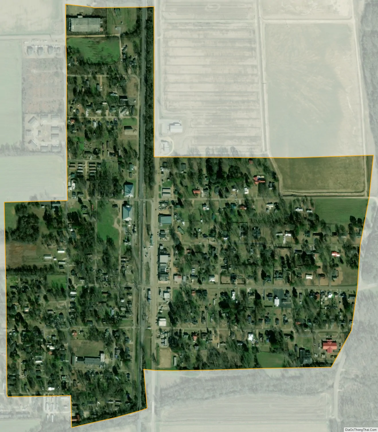
Crenshaw city Satellite Map
Geography
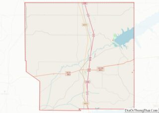
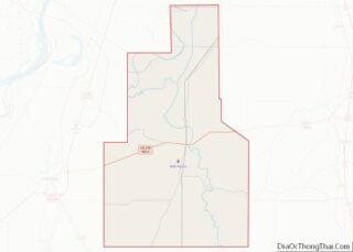
Most of the town is in Panola County with a small portion on the west side in Quitman County. In the 2000 census, 697 of the town’s 916 residents (76.1%) lived in Panola County and 219 (23.9%) in Quitman County.
According to the United States Census Bureau, the town has a total area of 0.4 square mile (1.1 km), all land.
See also
Map of Mississippi State and its subdivision:- Adams
- Alcorn
- Amite
- Attala
- Benton
- Bolivar
- Calhoun
- Carroll
- Chickasaw
- Choctaw
- Claiborne
- Clarke
- Clay
- Coahoma
- Copiah
- Covington
- Desoto
- Forrest
- Franklin
- George
- Greene
- Grenada
- Hancock
- Harrison
- Hinds
- Holmes
- Humphreys
- Issaquena
- Itawamba
- Jackson
- Jasper
- Jefferson
- Jefferson Davis
- Jones
- Kemper
- Lafayette
- Lamar
- Lauderdale
- Lawrence
- Leake
- Lee
- Leflore
- Lincoln
- Lowndes
- Madison
- Marion
- Marshall
- Monroe
- Montgomery
- Neshoba
- Newton
- Noxubee
- Oktibbeha
- Panola
- Pearl River
- Perry
- Pike
- Pontotoc
- Prentiss
- Quitman
- Rankin
- Scott
- Sharkey
- Simpson
- Smith
- Stone
- Sunflower
- Tallahatchie
- Tate
- Tippah
- Tishomingo
- Tunica
- Union
- Walthall
- Warren
- Washington
- Wayne
- Webster
- Wilkinson
- Winston
- Yalobusha
- Yazoo
- Alabama
- Alaska
- Arizona
- Arkansas
- California
- Colorado
- Connecticut
- Delaware
- District of Columbia
- Florida
- Georgia
- Hawaii
- Idaho
- Illinois
- Indiana
- Iowa
- Kansas
- Kentucky
- Louisiana
- Maine
- Maryland
- Massachusetts
- Michigan
- Minnesota
- Mississippi
- Missouri
- Montana
- Nebraska
- Nevada
- New Hampshire
- New Jersey
- New Mexico
- New York
- North Carolina
- North Dakota
- Ohio
- Oklahoma
- Oregon
- Pennsylvania
- Rhode Island
- South Carolina
- South Dakota
- Tennessee
- Texas
- Utah
- Vermont
- Virginia
- Washington
- West Virginia
- Wisconsin
- Wyoming