Guntown is a city in Lee County, Mississippi, located in the northern part of the Tupelo micropolitan area. The population was 2,410 at the 2020 Census.
| Name: | Guntown town |
|---|---|
| LSAD Code: | 43 |
| LSAD Description: | town (suffix) |
| State: | Mississippi |
| County: | Lee County |
| Founded: | April 13, 1866 (1866-04-13) |
| Incorporated: | February 16, 1867 (1867-02-16) |
| Elevation: | 400 ft (122 m) |
| Total Area: | 4.67 sq mi (12.10 km²) |
| Land Area: | 4.66 sq mi (12.07 km²) |
| Water Area: | 0.01 sq mi (0.03 km²) |
| Total Population: | 2,410 |
| Population Density: | 517.17/sq mi (199.68/km²) |
| Area code: | 662 |
| FIPS code: | 2829940 |
| GNISfeature ID: | 670808 |
Online Interactive Map
Click on ![]() to view map in "full screen" mode.
to view map in "full screen" mode.
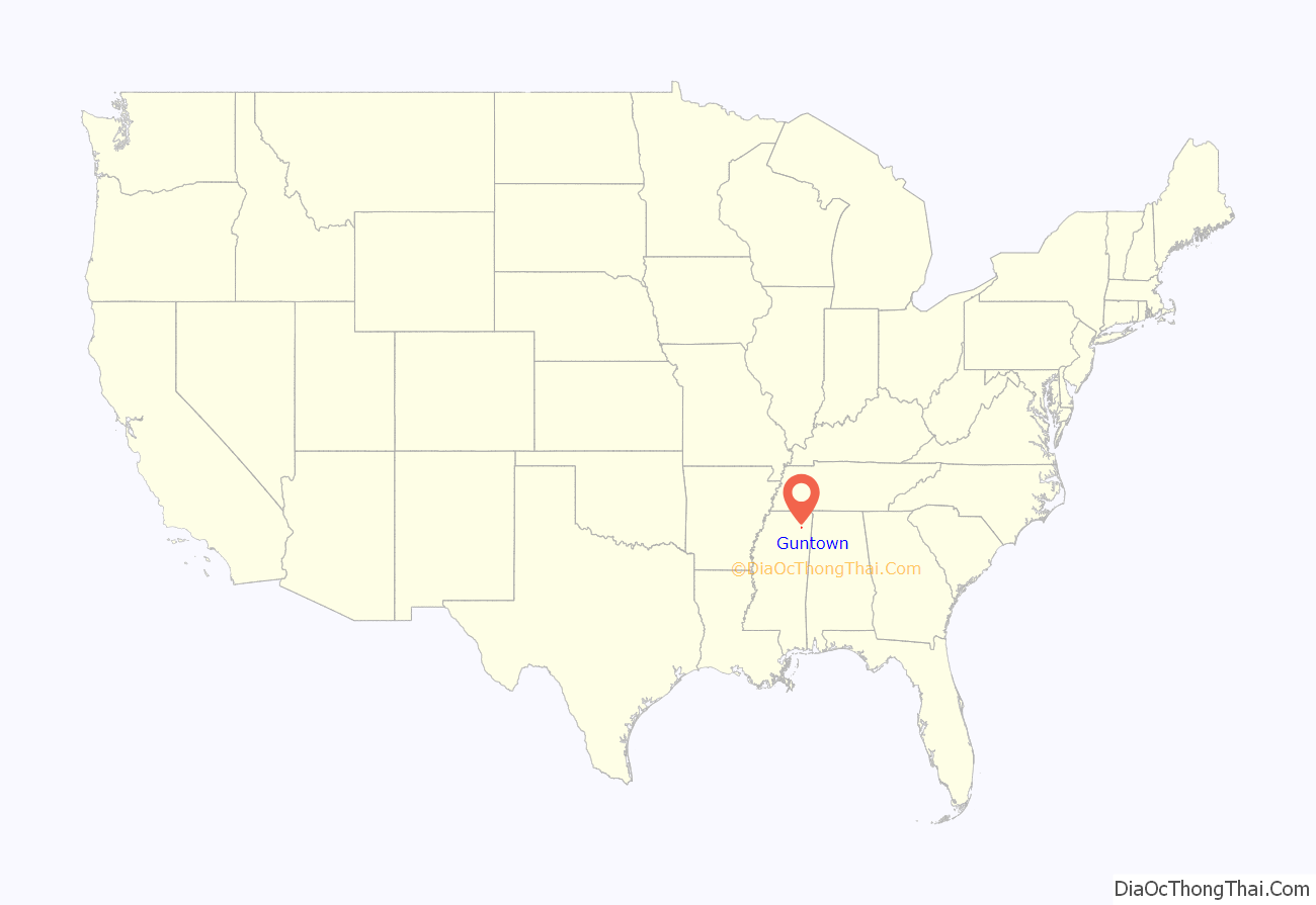
Guntown location map. Where is Guntown town?
History
Union cavalry officers described Guntown as “a station and small village on the Mobile & Ohio road.” The U.S. post office was established on April 13, 1866, marking the official launch of the service in Guntown. This was followed by incorporation on February 16, 1867, and appointment of the first mayor that year.
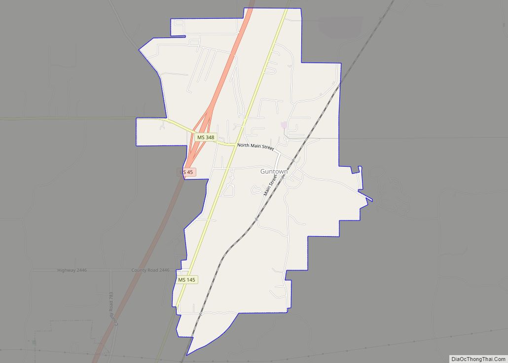
Guntown Road Map
Guntown city Satellite Map
Geography
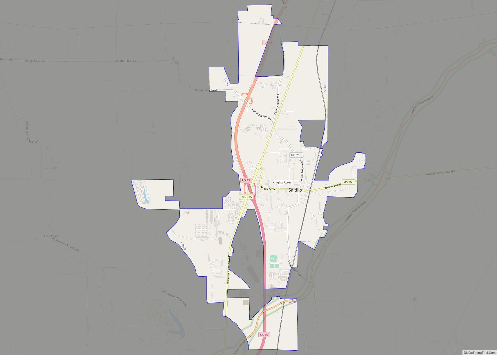
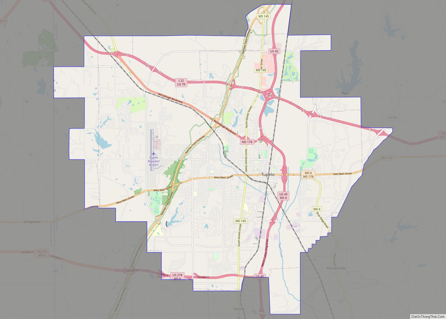
Guntown is located along Mississippi Highway 145, with the older parts of the city lying further to the east near the railroad tracks. U.S. Route 45 traverses the western part of the city, running roughly parallel to MS 145. Baldwyn lies just to the north of Guntown, and Saltillo lies just to the south.
According to the U.S. Census Bureau, the city has a total area of 4.5 square miles (12 km), of which 4.5 square miles (12 km) is land and 0.22% is water.
See also
Map of Mississippi State and its subdivision:- Adams
- Alcorn
- Amite
- Attala
- Benton
- Bolivar
- Calhoun
- Carroll
- Chickasaw
- Choctaw
- Claiborne
- Clarke
- Clay
- Coahoma
- Copiah
- Covington
- Desoto
- Forrest
- Franklin
- George
- Greene
- Grenada
- Hancock
- Harrison
- Hinds
- Holmes
- Humphreys
- Issaquena
- Itawamba
- Jackson
- Jasper
- Jefferson
- Jefferson Davis
- Jones
- Kemper
- Lafayette
- Lamar
- Lauderdale
- Lawrence
- Leake
- Lee
- Leflore
- Lincoln
- Lowndes
- Madison
- Marion
- Marshall
- Monroe
- Montgomery
- Neshoba
- Newton
- Noxubee
- Oktibbeha
- Panola
- Pearl River
- Perry
- Pike
- Pontotoc
- Prentiss
- Quitman
- Rankin
- Scott
- Sharkey
- Simpson
- Smith
- Stone
- Sunflower
- Tallahatchie
- Tate
- Tippah
- Tishomingo
- Tunica
- Union
- Walthall
- Warren
- Washington
- Wayne
- Webster
- Wilkinson
- Winston
- Yalobusha
- Yazoo
- Alabama
- Alaska
- Arizona
- Arkansas
- California
- Colorado
- Connecticut
- Delaware
- District of Columbia
- Florida
- Georgia
- Hawaii
- Idaho
- Illinois
- Indiana
- Iowa
- Kansas
- Kentucky
- Louisiana
- Maine
- Maryland
- Massachusetts
- Michigan
- Minnesota
- Mississippi
- Missouri
- Montana
- Nebraska
- Nevada
- New Hampshire
- New Jersey
- New Mexico
- New York
- North Carolina
- North Dakota
- Ohio
- Oklahoma
- Oregon
- Pennsylvania
- Rhode Island
- South Carolina
- South Dakota
- Tennessee
- Texas
- Utah
- Vermont
- Virginia
- Washington
- West Virginia
- Wisconsin
- Wyoming
