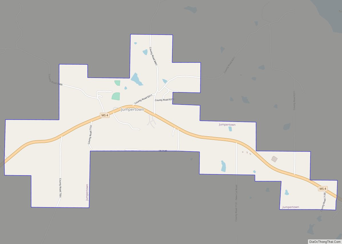
Jumpertown is a town in Prentiss County, Mississippi, United States. The population was 480 at the 2010 census.
| Name: | Jumpertown town |
|---|---|
| LSAD Code: | 43 |
| LSAD Description: | town (suffix) |
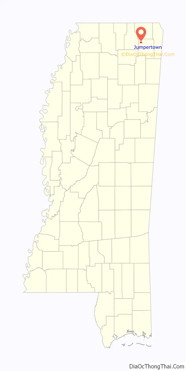
| State: | Mississippi |
| County: | Prentiss County |
| Elevation: | 584 ft (178 m) |
| Total Area: | 1.79 sq mi (4.63 km²) |
| Land Area: | 1.79 sq mi (4.63 km²) |
| Water Area: | 0.00 sq mi (0.00 km²) |
| Total Population: | 425 |
| Population Density: | 237.56/sq mi (91.74/km²) |
| ZIP code: | 38829 |
| Area code: | 662 |
| FIPS code: | 2837040 |
| GNISfeature ID: | 0672053 |
Online Interactive Map
Click on ![]() to view map in "full screen" mode.
to view map in "full screen" mode.
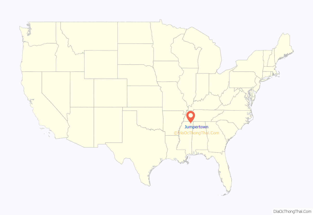
Jumpertown location map. Where is Jumpertown town?
History
On November 5, 1862, there was a civil war skirmish in Jumpertown. In November 1886, the Mississippi state meeting of the Agricultural Wheel, a forerunner of 19th century American populism, met in Jumpertown.
Jumpertown Road Map
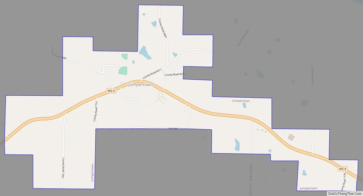
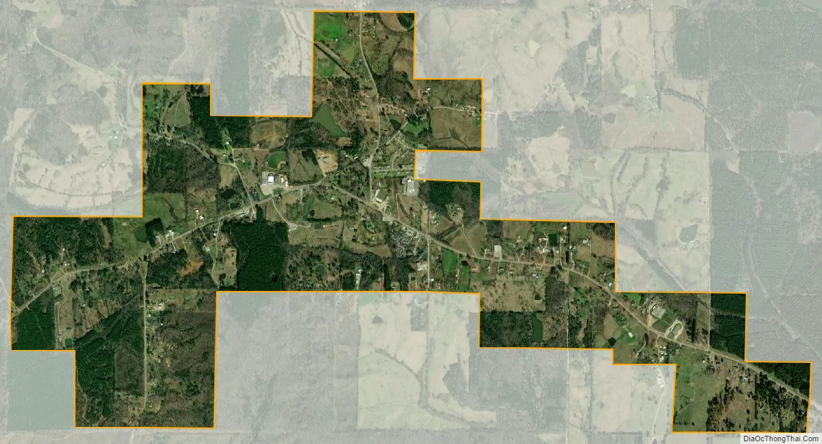
Jumpertown city Satellite Map
Geography
Jumpertown is located at 34°42′36″N 88°39′26″W / 34.71000°N 88.65722°W / 34.71000; -88.65722 (34.710127, -88.657319).
According to the United States Census Bureau, the town has a total area of 1.8 square miles (4.7 km), of which 1.8 square miles (4.7 km) is land and 0.55% is water.
See also
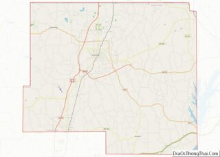
Map of Mississippi State and its subdivision:- Adams
- Alcorn
- Amite
- Attala
- Benton
- Bolivar
- Calhoun
- Carroll
- Chickasaw
- Choctaw
- Claiborne
- Clarke
- Clay
- Coahoma
- Copiah
- Covington
- Desoto
- Forrest
- Franklin
- George
- Greene
- Grenada
- Hancock
- Harrison
- Hinds
- Holmes
- Humphreys
- Issaquena
- Itawamba
- Jackson
- Jasper
- Jefferson
- Jefferson Davis
- Jones
- Kemper
- Lafayette
- Lamar
- Lauderdale
- Lawrence
- Leake
- Lee
- Leflore
- Lincoln
- Lowndes
- Madison
- Marion
- Marshall
- Monroe
- Montgomery
- Neshoba
- Newton
- Noxubee
- Oktibbeha
- Panola
- Pearl River
- Perry
- Pike
- Pontotoc
- Prentiss
- Quitman
- Rankin
- Scott
- Sharkey
- Simpson
- Smith
- Stone
- Sunflower
- Tallahatchie
- Tate
- Tippah
- Tishomingo
- Tunica
- Union
- Walthall
- Warren
- Washington
- Wayne
- Webster
- Wilkinson
- Winston
- Yalobusha
- Yazoo
- Alabama
- Alaska
- Arizona
- Arkansas
- California
- Colorado
- Connecticut
- Delaware
- District of Columbia
- Florida
- Georgia
- Hawaii
- Idaho
- Illinois
- Indiana
- Iowa
- Kansas
- Kentucky
- Louisiana
- Maine
- Maryland
- Massachusetts
- Michigan
- Minnesota
- Mississippi
- Missouri
- Montana
- Nebraska
- Nevada
- New Hampshire
- New Jersey
- New Mexico
- New York
- North Carolina
- North Dakota
- Ohio
- Oklahoma
- Oregon
- Pennsylvania
- Rhode Island
- South Carolina
- South Dakota
- Tennessee
- Texas
- Utah
- Vermont
- Virginia
- Washington
- West Virginia
- Wisconsin
- Wyoming