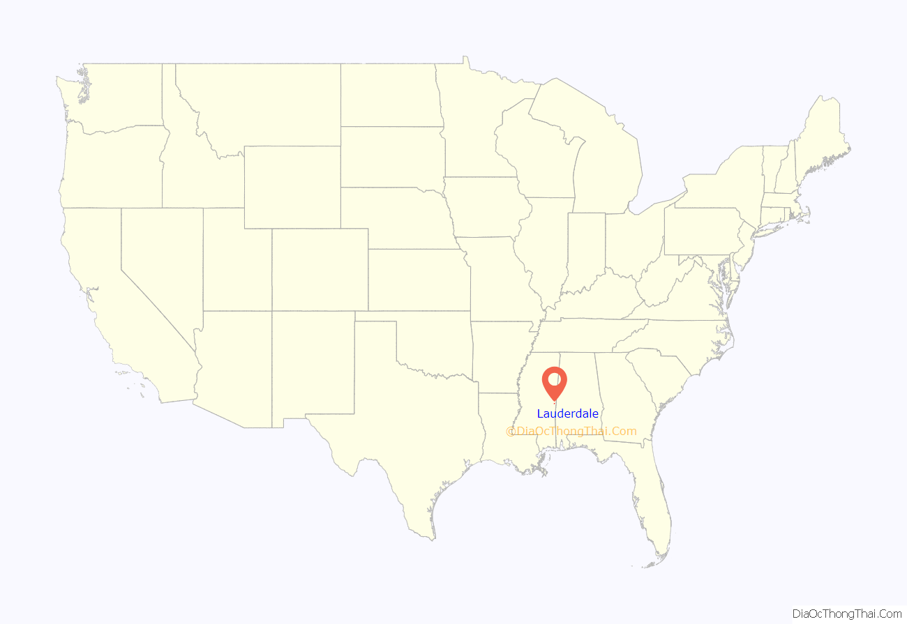
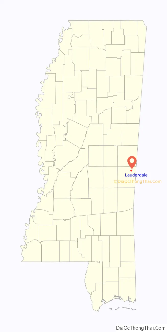
Lauderdale is an unincorporated community and census-designated place (CDP) in Lauderdale County, Mississippi, United States. It is situated along U.S. Highway 45, 16 miles (26 km) northeast of Meridian, the county seat. The population of Lauderdale was 395 at the 2020 census.
| Name: | Lauderdale CDP |
|---|---|
| LSAD Code: | 57 |
| LSAD Description: | CDP (suffix) |
| State: | Mississippi |
| County: | Lauderdale County |
| Elevation: | 215 ft (66 m) |
| Total Area: | 2.86 sq mi (7.41 km²) |
| Land Area: | 2.86 sq mi (7.41 km²) |
| Water Area: | 0.00 sq mi (0.00 km²) |
| Total Population: | 395 |
| Population Density: | 138.11/sq mi (53.32/km²) |
| ZIP code: | 39335 |
| Area code: | 601 |
| FIPS code: | 2839600 |
| GNISfeature ID: | 2586601 |
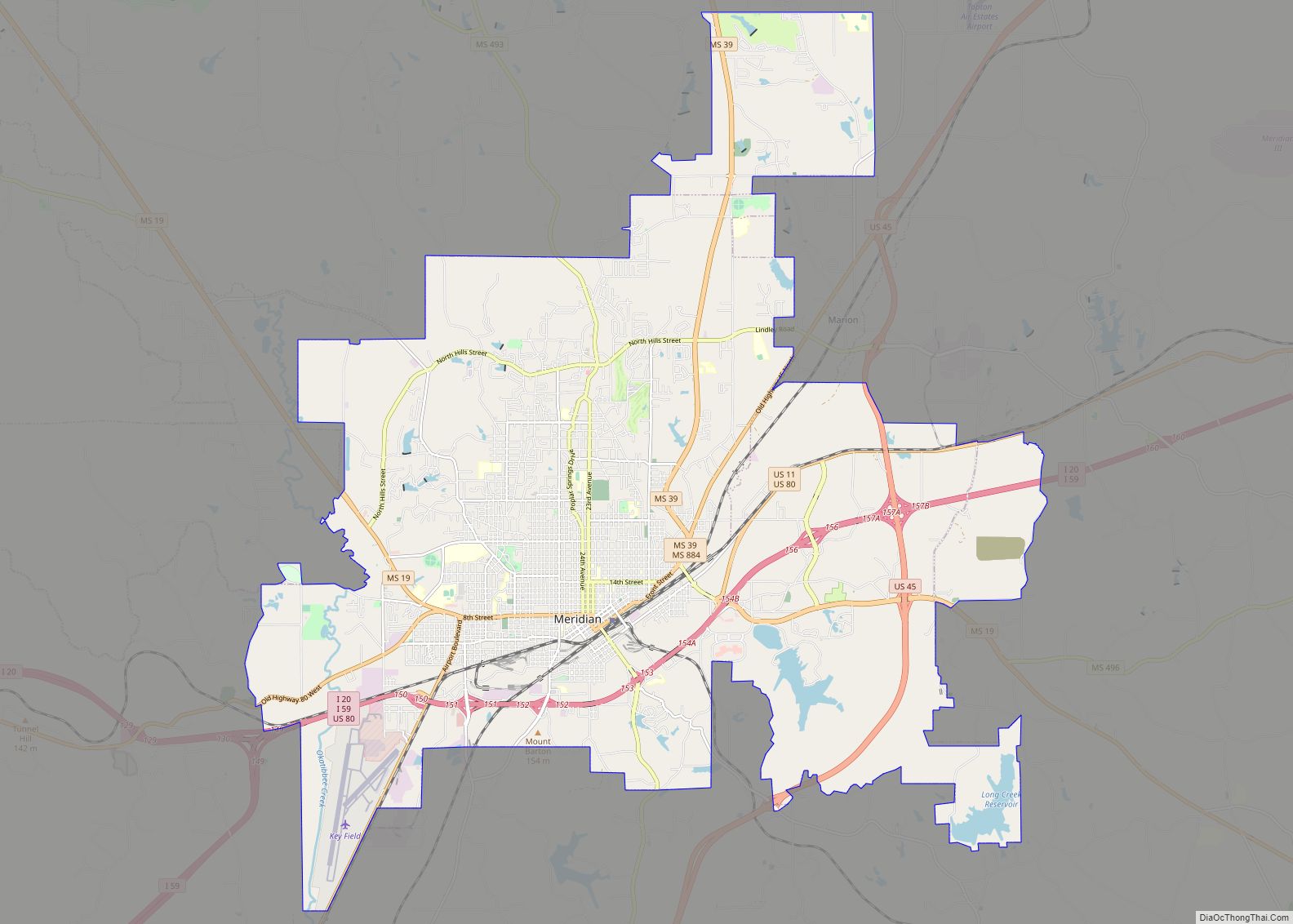
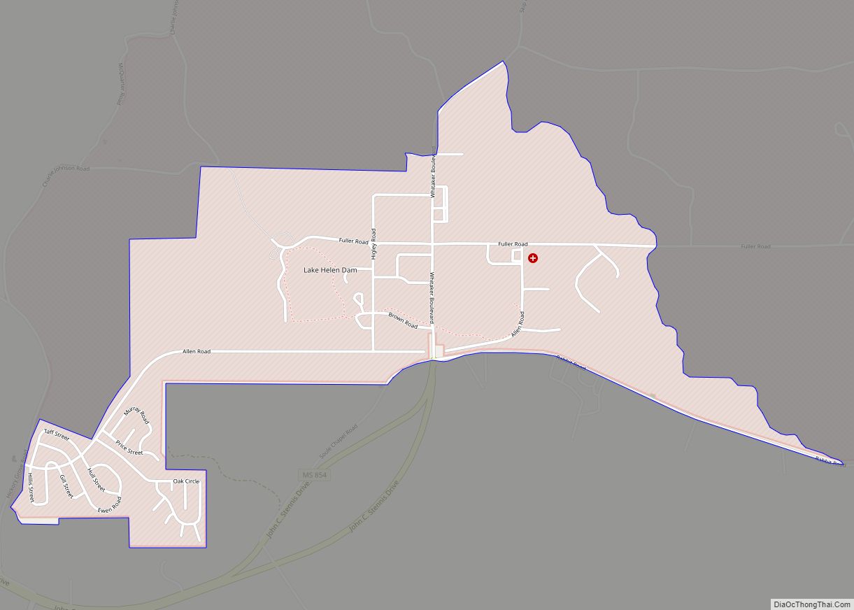
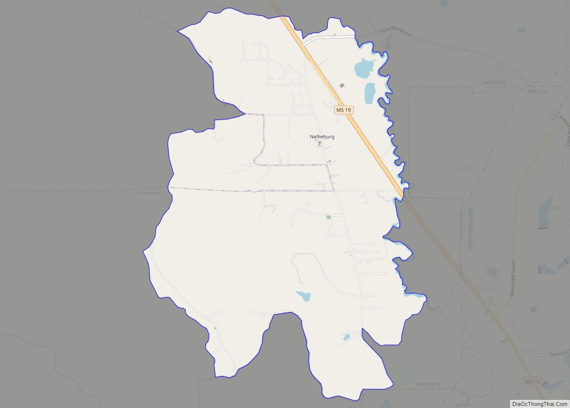
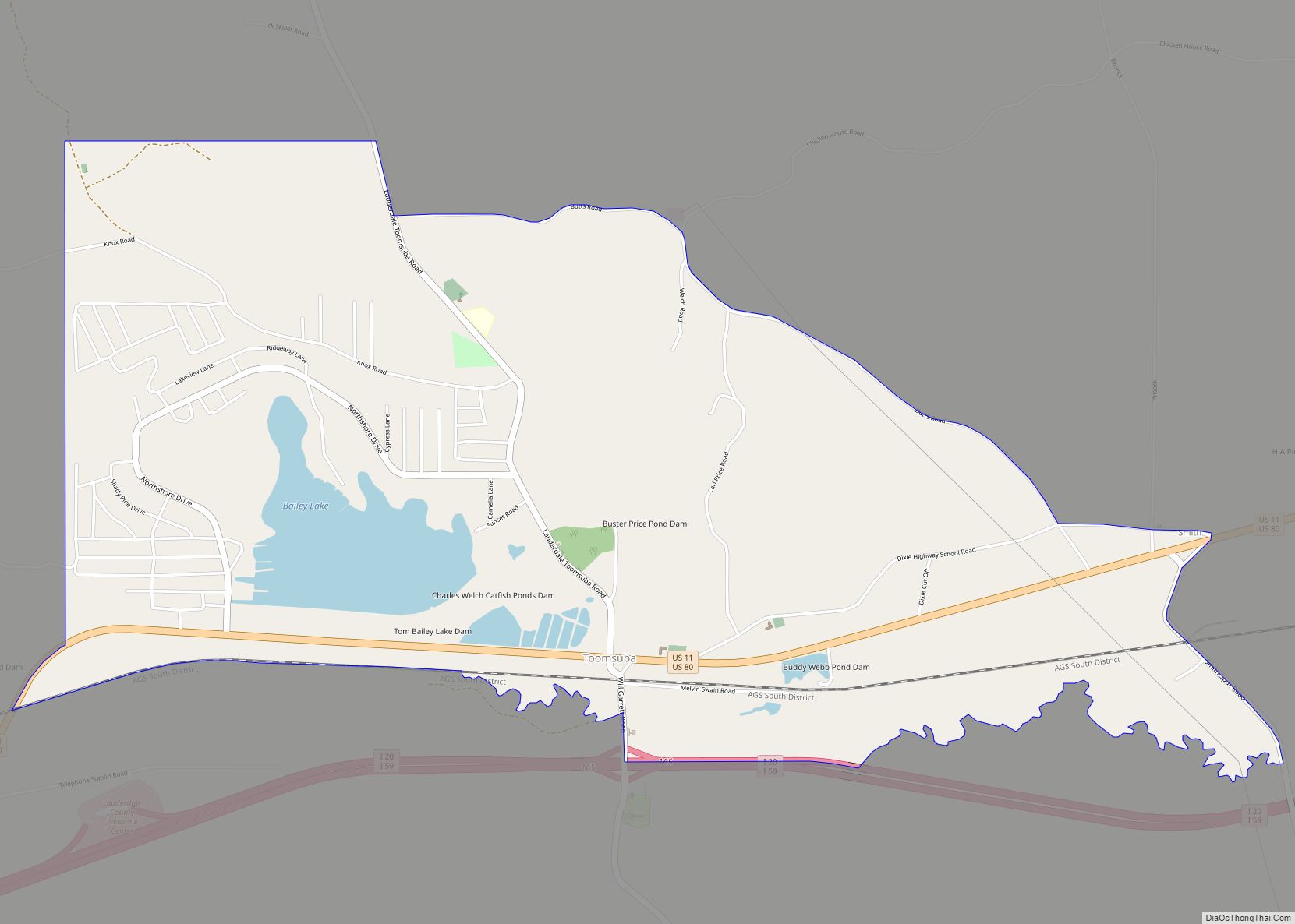
Online Interactive Map
Click on ![]() to view map in "full screen" mode.
to view map in "full screen" mode.
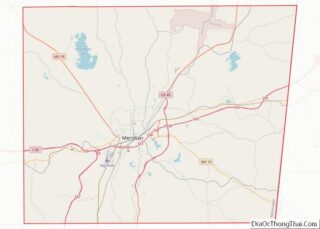
Lauderdale location map. Where is Lauderdale CDP?
History
Early history
Lauderdale was first inhabited by Native Americans. The first recorded Native Americans in the area were the Choctaw, who had a village named Panti on Ponta Creek near the present site of Lauderdale. In 1800, Samuel Dale guided some of the first European settlers to the area, including James Lauderdale. Lauderdale was originally from Tennessee but settled at the mineral springs in the area and named them Lauderdale Springs. During the War of 1812, Lauderdale served under Andrew Jackson at the Battle of Talladega and was killed at the Battle of New Orleans.
In 1837, a post office opened under the name Mingo Houma, then under the name Springs Depot from 1856 to 1859. The community was incorporated on March 12, 1856 when the Mobile and Ohio Railroad was completed near Lauderdale Springs. A resort was then built at the mineral springs and included a two-story, 300 foot long hotel with surrounding cottages. Jefferson Davis, Octavia Walton Le Vert, and other notable people attended the springs for gatherings and political events. The post office began operating under the name Lauderdale Springs in 1859 and used that name until 1894.
Civil War
During the Civil War, the resort was converted to a Confederate hospital that operated until the end of the war. Soldiers who were treated at the Confederate hospital fought at multiple battles, including Battle of Shiloh, Battle of Corinth, Battle of Iuka, Battle of Jackson, Battle of Vicksburg, and General Nathan Bedford Forrest’s North Mississippi battles. Mortally wounded soldiers were buried in a nearby cemetery, now known as the Lauderdale Springs Confederate-Union Cemetery.
During William Tecumseh Sherman’s Meridian campaign, the 32nd Wisconsin Infantry Regiment burned Lauderdale Springs. Joseph Emory Davis, Jefferson Davis’ older brother, stayed for a time in Lauderdale Springs after moving from Hurricane Plantation after the Siege of Vicksburg.
Company C of the 5th Mississippi Infantry Regiment was mustered into service at Lauderdale Springs on August 6, 1861. The 1st and 4th Missouri Infantry Regiment (Consolidated) and 2nd and 6th Missouri Infantry Regiment (Consolidated) were both stationed at Lauderdale Springs for a time.
Post-Civil War
After the Civil war, the resort grounds were used by the Mississippi Baptist Convention as the Home for Confederate Orphans. Company H of the 16th Infantry Regiment were assigned to the Post of Lauderdale during Reconstruction from 1868 to 1870 and occupied the former hospital buildings. The post office name was changed to Lauderdale in 1894. The East Tennessee, Virginia and Georgia Railway ceased service in Lauderdale in 1898.
20th century
In 1900, Lauderdale had several stores, two churches, a grist mill, and a population of 288.
By 1936, it had a population of 1,000, two cotton gins, a saw mill, planing mill, three churches, a school, and a hotel. The community was also home to a lumber company and pottery factory.
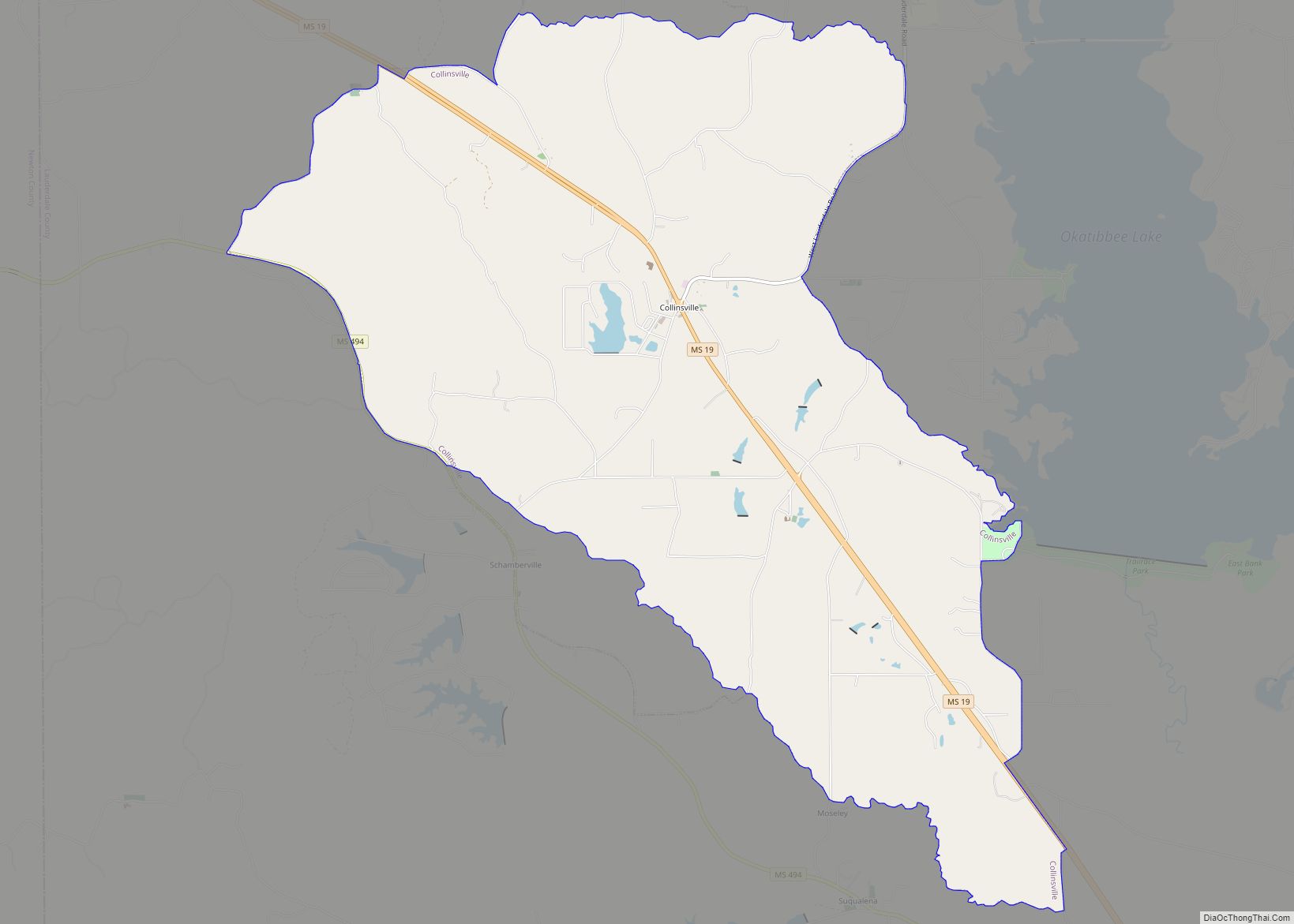
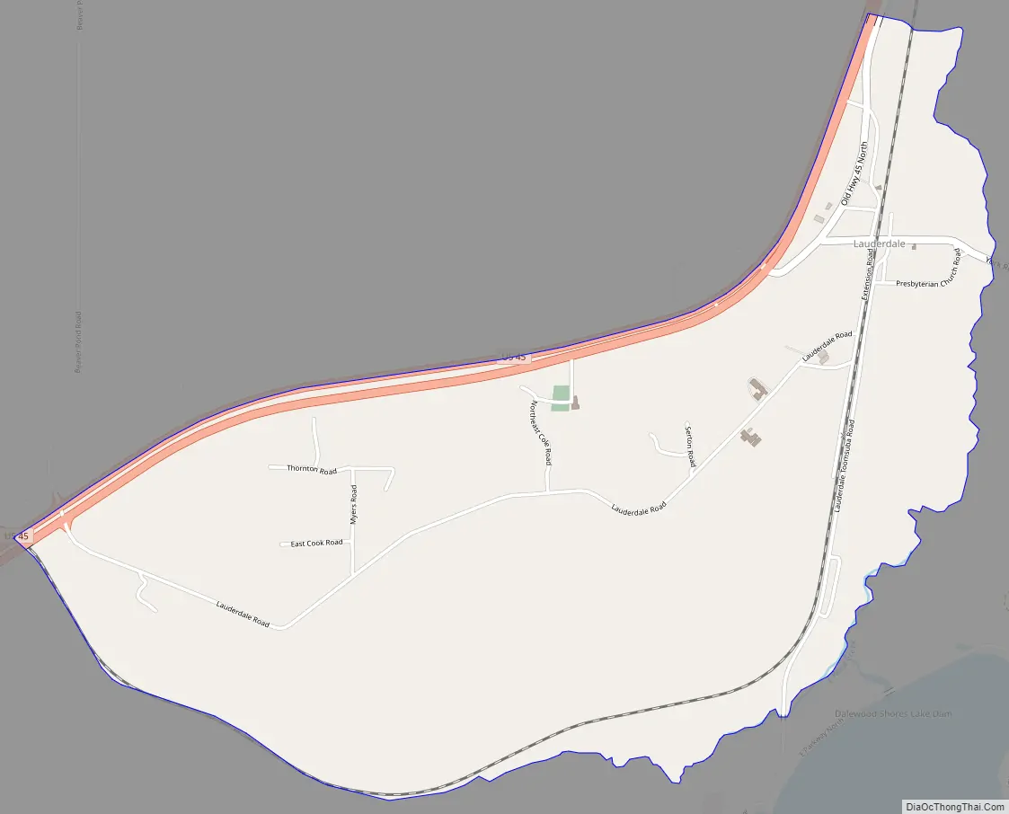
Lauderdale Road Map
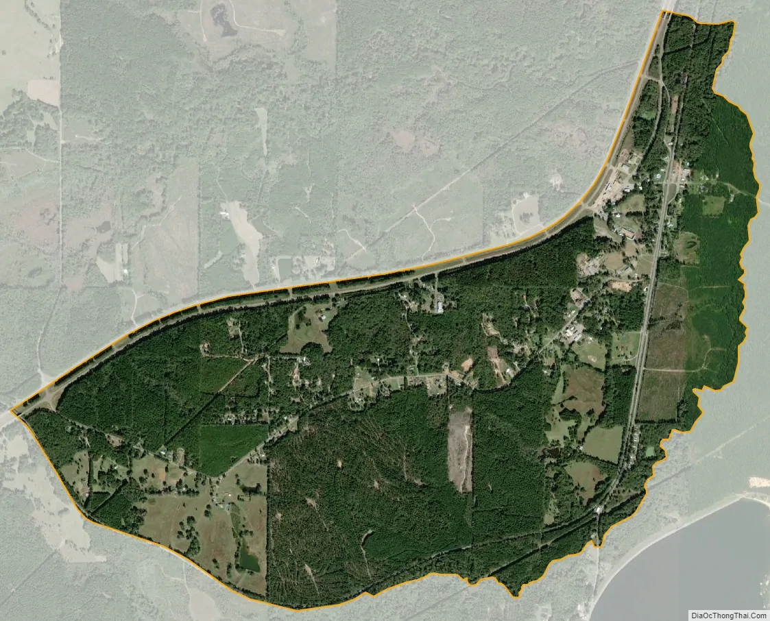
Lauderdale city Satellite Map
Geography
Lauderdale is located in northeastern Lauderdale County at 32°31′15″N 88°30′41″W / 32.52083°N 88.51139°W / 32.52083; -88.51139. According to the United States Census Bureau, the CDP has an area of 2.9 square miles (7.4 km), all of it recorded as land. The community is in the valley of Possum Creek, just south of where it joins Ponta Creek, an east-flowing tributary of the Sucarnoochee River, part of the Tombigbee River watershed.
See also
Map of Mississippi State and its subdivision:- Adams
- Alcorn
- Amite
- Attala
- Benton
- Bolivar
- Calhoun
- Carroll
- Chickasaw
- Choctaw
- Claiborne
- Clarke
- Clay
- Coahoma
- Copiah
- Covington
- Desoto
- Forrest
- Franklin
- George
- Greene
- Grenada
- Hancock
- Harrison
- Hinds
- Holmes
- Humphreys
- Issaquena
- Itawamba
- Jackson
- Jasper
- Jefferson
- Jefferson Davis
- Jones
- Kemper
- Lafayette
- Lamar
- Lauderdale
- Lawrence
- Leake
- Lee
- Leflore
- Lincoln
- Lowndes
- Madison
- Marion
- Marshall
- Monroe
- Montgomery
- Neshoba
- Newton
- Noxubee
- Oktibbeha
- Panola
- Pearl River
- Perry
- Pike
- Pontotoc
- Prentiss
- Quitman
- Rankin
- Scott
- Sharkey
- Simpson
- Smith
- Stone
- Sunflower
- Tallahatchie
- Tate
- Tippah
- Tishomingo
- Tunica
- Union
- Walthall
- Warren
- Washington
- Wayne
- Webster
- Wilkinson
- Winston
- Yalobusha
- Yazoo
- Alabama
- Alaska
- Arizona
- Arkansas
- California
- Colorado
- Connecticut
- Delaware
- District of Columbia
- Florida
- Georgia
- Hawaii
- Idaho
- Illinois
- Indiana
- Iowa
- Kansas
- Kentucky
- Louisiana
- Maine
- Maryland
- Massachusetts
- Michigan
- Minnesota
- Mississippi
- Missouri
- Montana
- Nebraska
- Nevada
- New Hampshire
- New Jersey
- New Mexico
- New York
- North Carolina
- North Dakota
- Ohio
- Oklahoma
- Oregon
- Pennsylvania
- Rhode Island
- South Carolina
- South Dakota
- Tennessee
- Texas
- Utah
- Vermont
- Virginia
- Washington
- West Virginia
- Wisconsin
- Wyoming