Marion is a town in Lauderdale County, Mississippi, United States. It is a northeastern suburb of Meridian, the county seat. The population of Marion was 1,479 at the 2010 census.
| Name: | Marion town |
|---|---|
| LSAD Code: | 43 |
| LSAD Description: | town (suffix) |
| State: | Mississippi |
| County: | Lauderdale County |
| Elevation: | 367 ft (112 m) |
| Total Area: | 3.62 sq mi (9.38 km²) |
| Land Area: | 3.61 sq mi (9.36 km²) |
| Water Area: | 0.01 sq mi (0.02 km²) |
| Total Population: | 1,751 |
| Population Density: | 484.50/sq mi (187.07/km²) |
| ZIP code: | 39342 |
| Area code: | 601 |
| FIPS code: | 2845160 |
| GNISfeature ID: | 0673135 |
| Website: | www.marionms.org |
Online Interactive Map
Click on ![]() to view map in "full screen" mode.
to view map in "full screen" mode.
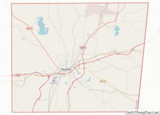
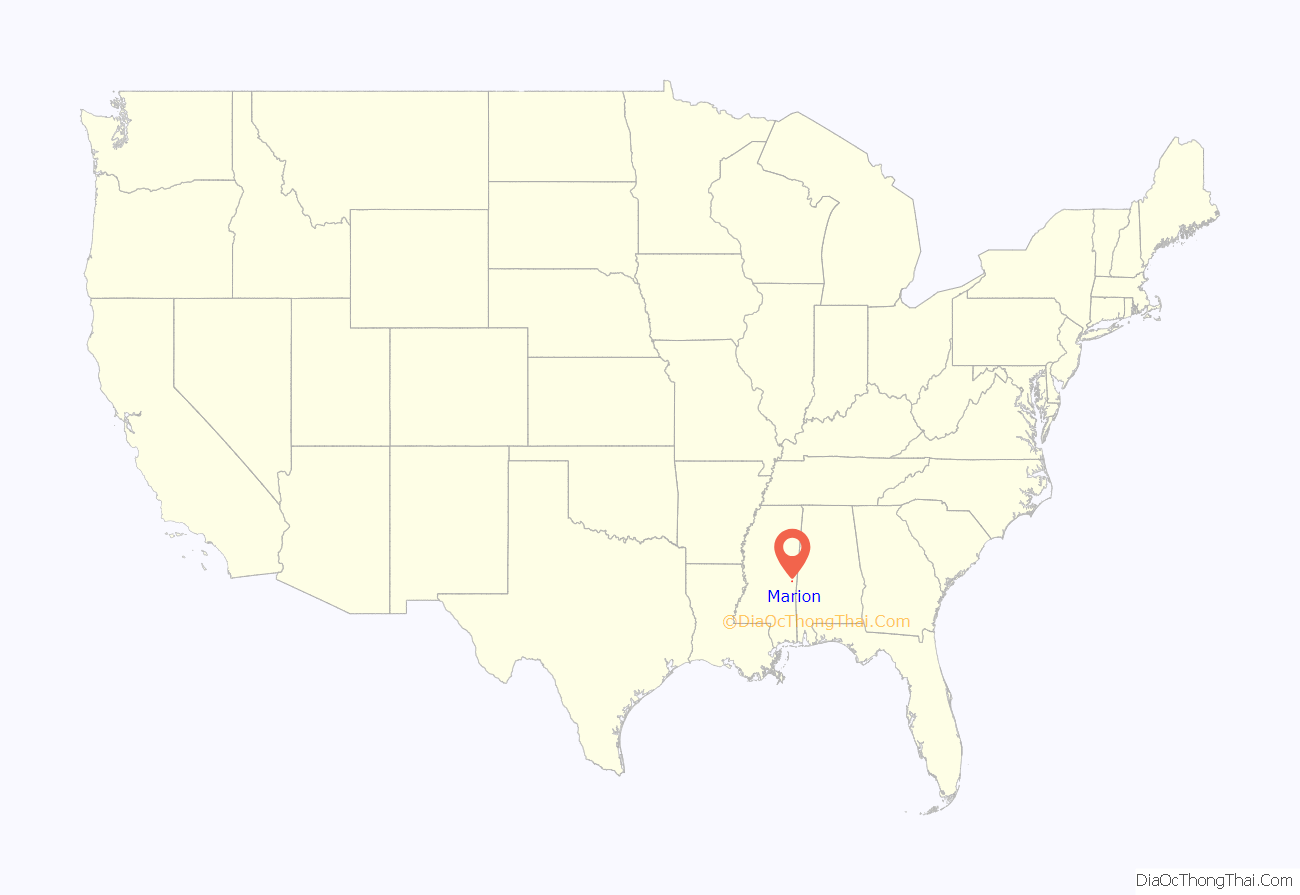
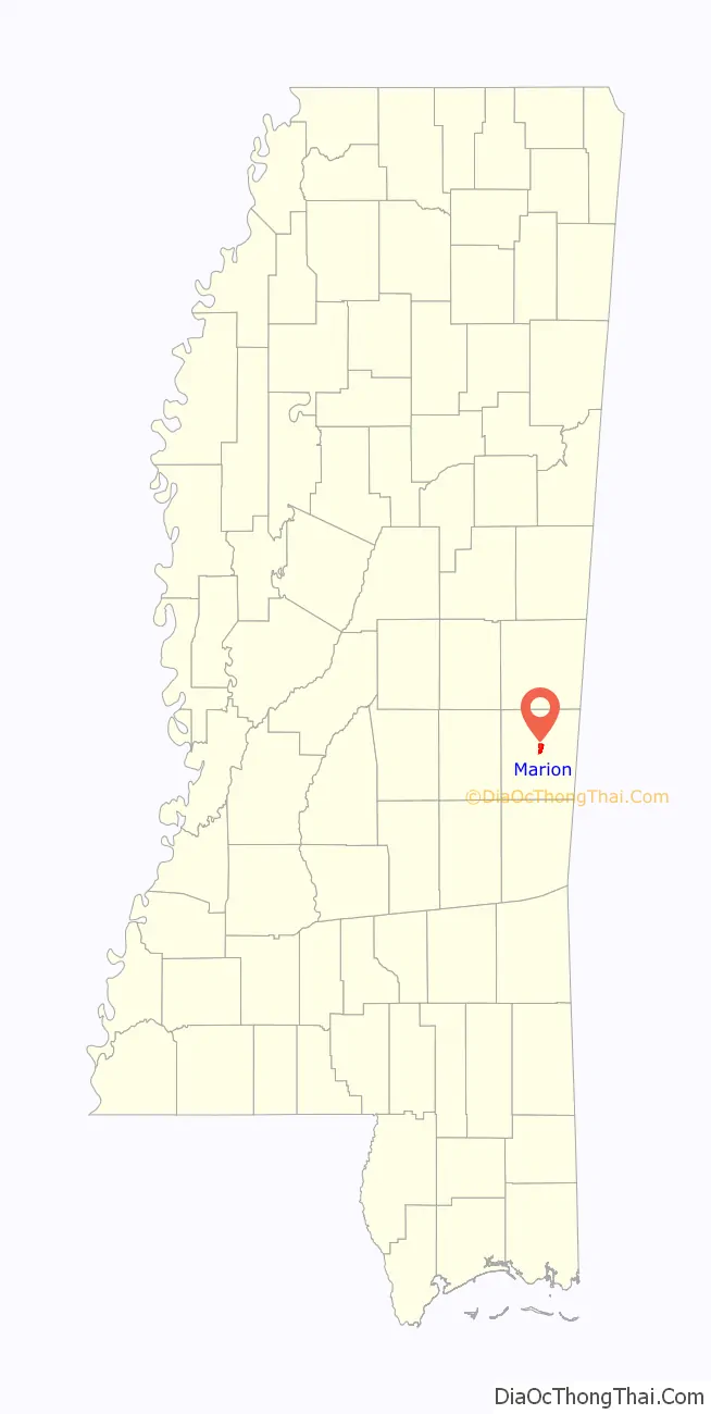
Marion location map. Where is Marion town?
History
The town was named for Francis Marion, a military leader known as the “Swamp Fox”. Marion was Lauderdale County’s seat from its founding to Reconstruction. Prior to the war, Marion was a prosperous town inhabited by numerous planters and enslaved African Americans. In 1840, it had a drugstore, two blacksmith shops, six dry goods stores, and two academies (one for girls and another for boys). It also had at least one newspaper, the Lauderdale Republican.
In 1850, Congress donated land to Alabama and Mississippi in order to build the Mobile & Ohio Railroad, which bypassed Marion and constructed a station two miles to the southwest in a village called McLemore’s Old Field (now the city of Meridian). During the 1850s, land values in Lauderdale County increased by 176 percent, which allowed many non-slaveholding whites to purchase slaves to grow cotton, build roads, and clear the surrounding forests for cultivation. By 1860, Lauderdale County’s enslaved population had more than doubled—a fact that fed support for secessionism after the election of Abraham Lincoln. On February 16, 1864, U.S. Army forces commanded by General William T. Sherman raided Marion and destroyed the railroad connecting it to Meridian. In 1870, voters opted to move the county seat from Marion to Meridian, which had expanded rapidly since the end of the Civil War.
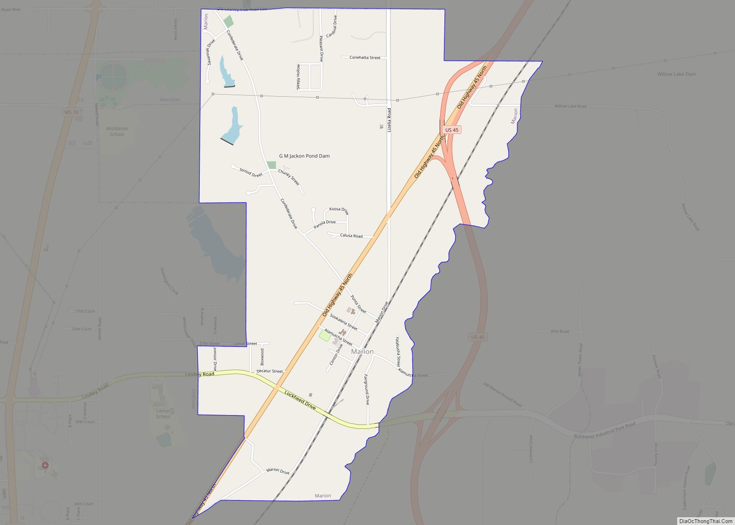
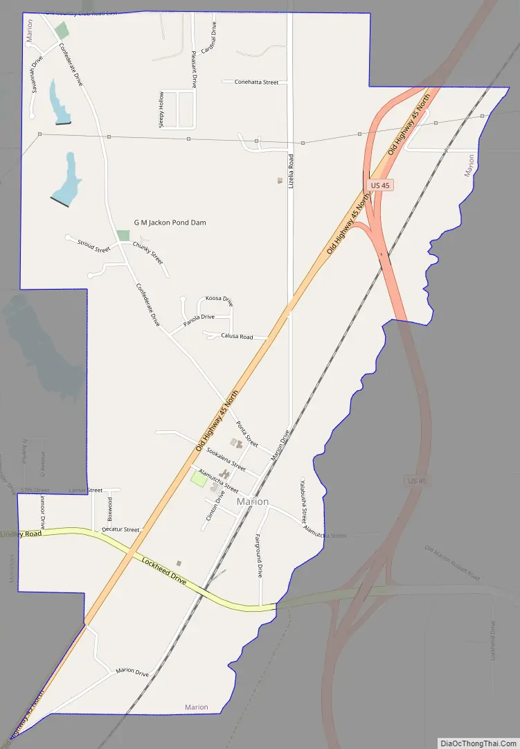
Marion Road Map
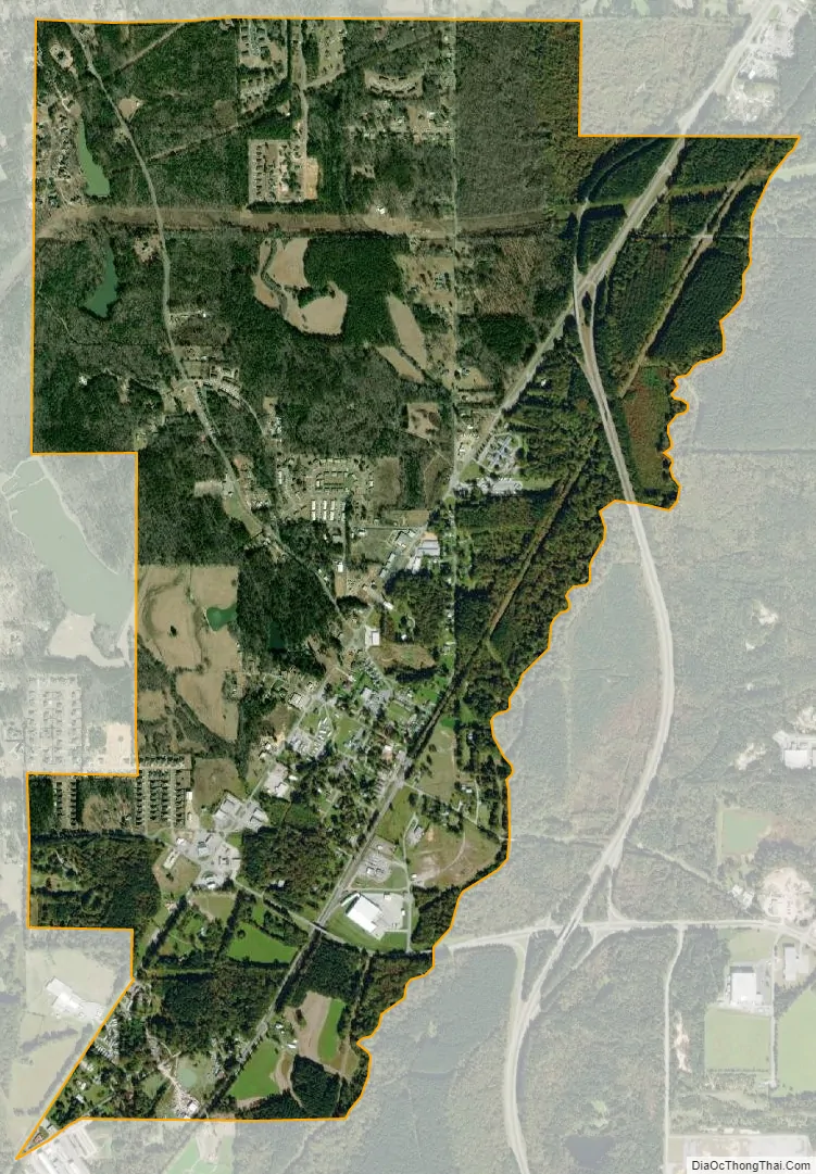
Marion city Satellite Map
Geography
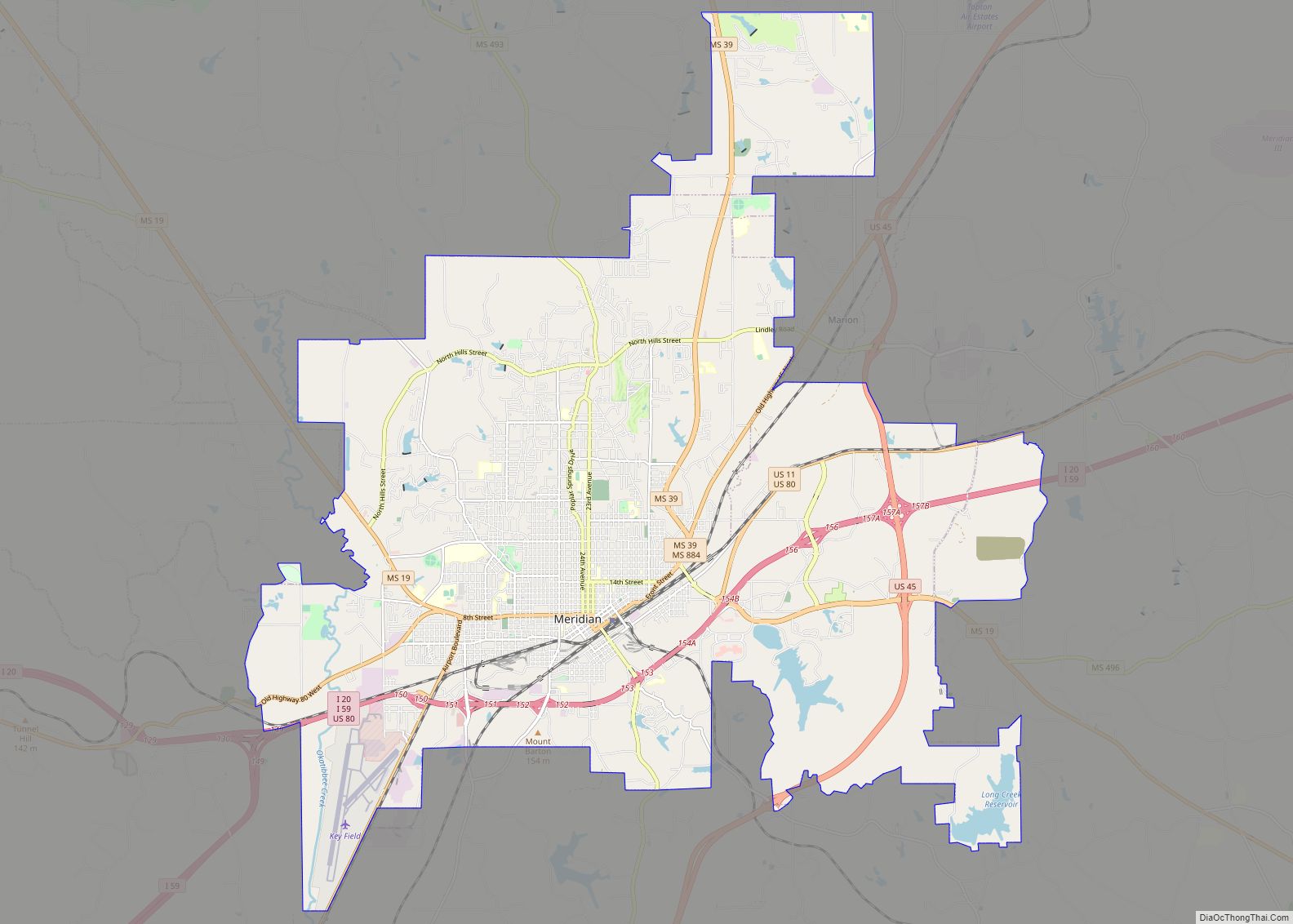
Marion is located in central Lauderdale County at 32°25′20″N 88°38′50″W / 32.42222°N 88.64722°W / 32.42222; -88.64722 (32.422182, -88.647323). It is bordered to the north, west, and south by the city of Meridian. Downtown Meridian is 5 miles (8 km) to the southwest via Dale Drive. U.S. Route 45 passes through the east side of Marion on a four-lane bypass that continues south around Meridian. The bypass ends at the northeast corner of Marion, and US 45 continues north-northeast from there 83 miles (134 km) to Columbus.
According to the United States Census Bureau, the town has a total area of 2.9 square miles (7.6 km), of which 0.01 square miles (0.02 km), or 0.27%, are water. Sowashee Creek forms the eastern boundary of the town and flows southwest through Meridian to join Okatibbee Creek, part of the Chickasawhay River and ultimately the Pascagoula River watershed.
See also
Map of Mississippi State and its subdivision:- Adams
- Alcorn
- Amite
- Attala
- Benton
- Bolivar
- Calhoun
- Carroll
- Chickasaw
- Choctaw
- Claiborne
- Clarke
- Clay
- Coahoma
- Copiah
- Covington
- Desoto
- Forrest
- Franklin
- George
- Greene
- Grenada
- Hancock
- Harrison
- Hinds
- Holmes
- Humphreys
- Issaquena
- Itawamba
- Jackson
- Jasper
- Jefferson
- Jefferson Davis
- Jones
- Kemper
- Lafayette
- Lamar
- Lauderdale
- Lawrence
- Leake
- Lee
- Leflore
- Lincoln
- Lowndes
- Madison
- Marion
- Marshall
- Monroe
- Montgomery
- Neshoba
- Newton
- Noxubee
- Oktibbeha
- Panola
- Pearl River
- Perry
- Pike
- Pontotoc
- Prentiss
- Quitman
- Rankin
- Scott
- Sharkey
- Simpson
- Smith
- Stone
- Sunflower
- Tallahatchie
- Tate
- Tippah
- Tishomingo
- Tunica
- Union
- Walthall
- Warren
- Washington
- Wayne
- Webster
- Wilkinson
- Winston
- Yalobusha
- Yazoo
- Alabama
- Alaska
- Arizona
- Arkansas
- California
- Colorado
- Connecticut
- Delaware
- District of Columbia
- Florida
- Georgia
- Hawaii
- Idaho
- Illinois
- Indiana
- Iowa
- Kansas
- Kentucky
- Louisiana
- Maine
- Maryland
- Massachusetts
- Michigan
- Minnesota
- Mississippi
- Missouri
- Montana
- Nebraska
- Nevada
- New Hampshire
- New Jersey
- New Mexico
- New York
- North Carolina
- North Dakota
- Ohio
- Oklahoma
- Oregon
- Pennsylvania
- Rhode Island
- South Carolina
- South Dakota
- Tennessee
- Texas
- Utah
- Vermont
- Virginia
- Washington
- West Virginia
- Wisconsin
- Wyoming