Moorhead is a city in Sunflower County, Mississippi, United States. As of the 2010 census, the city population was 2,405.
| Name: | Moorhead city |
|---|---|
| LSAD Code: | 25 |
| LSAD Description: | city (suffix) |
| State: | Mississippi |
| County: | Sunflower County |
| Elevation: | 115 ft (35 m) |
| Total Area: | 1.29 sq mi (3.35 km²) |
| Land Area: | 1.29 sq mi (3.35 km²) |
| Water Area: | 0.00 sq mi (0.00 km²) |
| Total Population: | 1,937 |
| Population Density: | 1,495.75/sq mi (577.39/km²) |
| ZIP code: | 38761 |
| Area code: | 662 |
| FIPS code: | 2848760 |
| GNISfeature ID: | 0673795 |
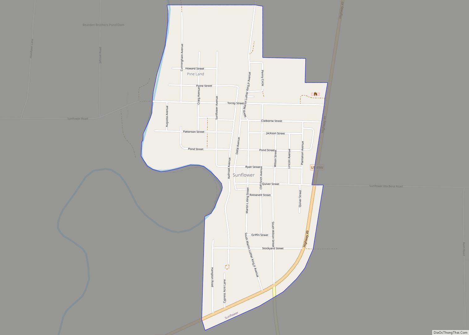
Online Interactive Map
Click on ![]() to view map in "full screen" mode.
to view map in "full screen" mode.
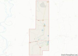
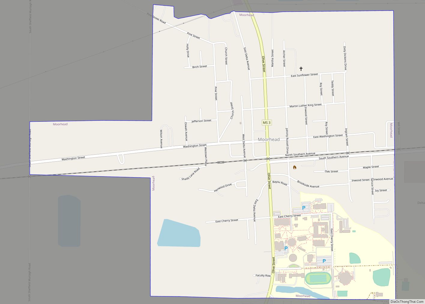
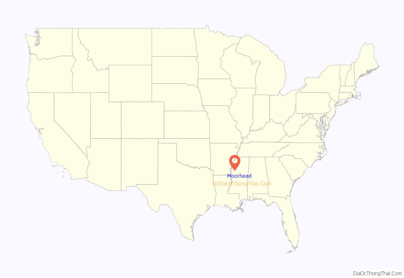
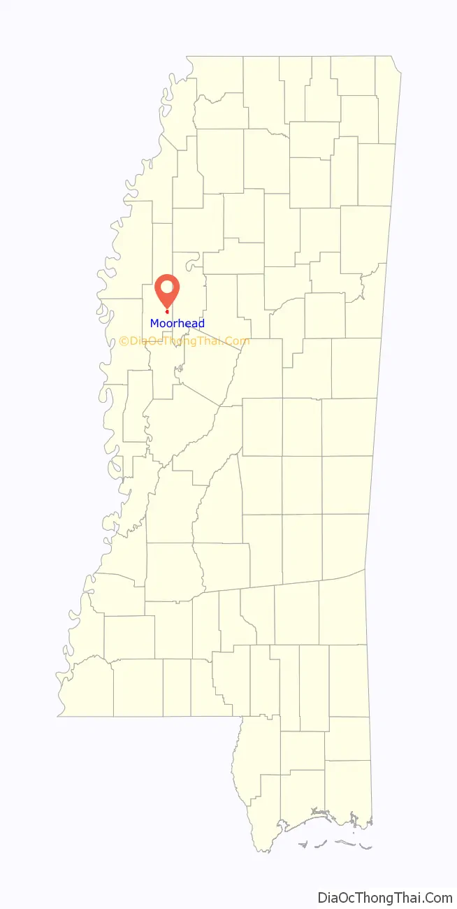
Moorhead location map. Where is Moorhead city?
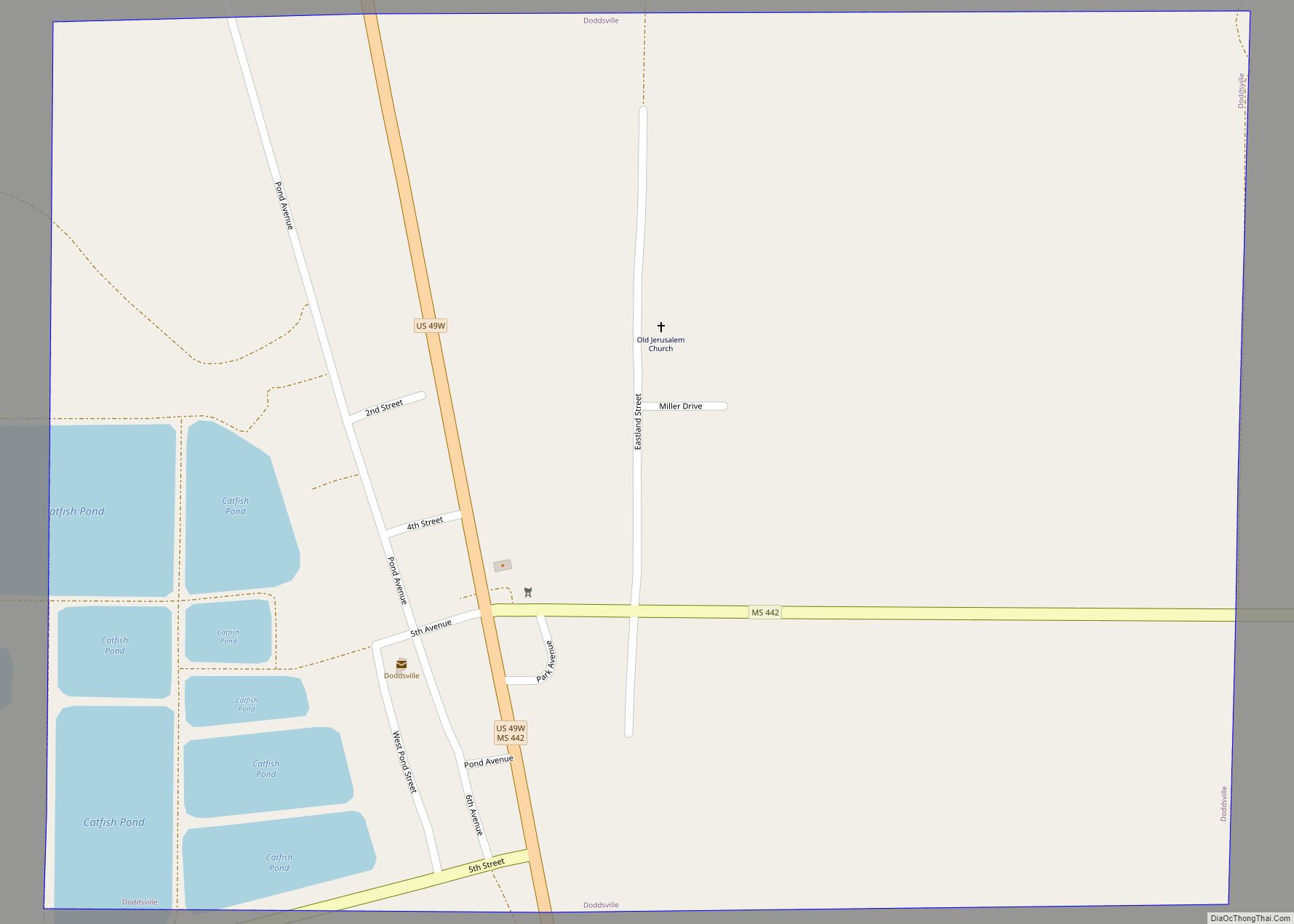
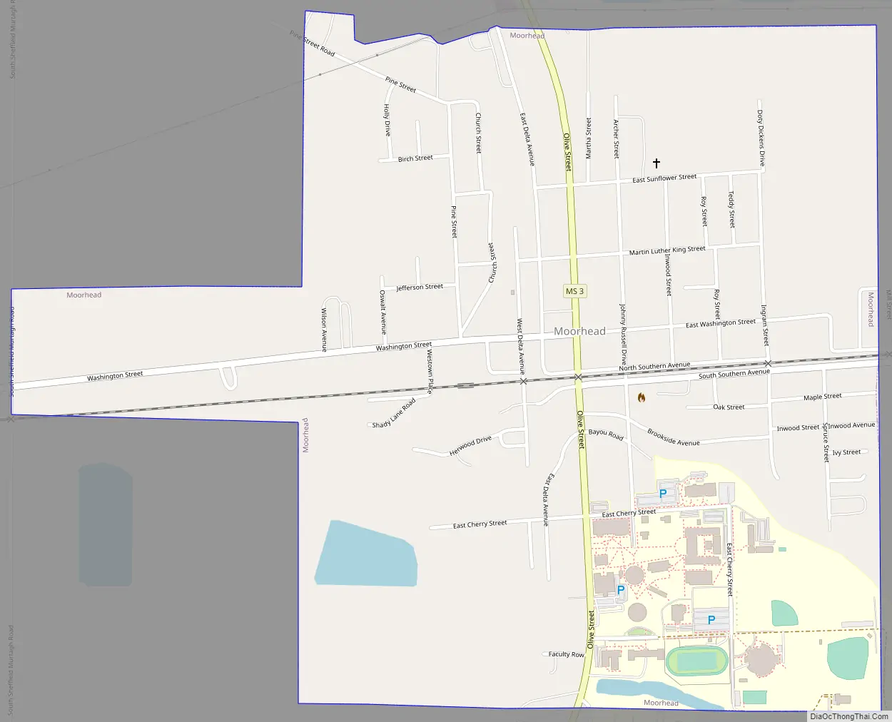
Moorhead Road Map
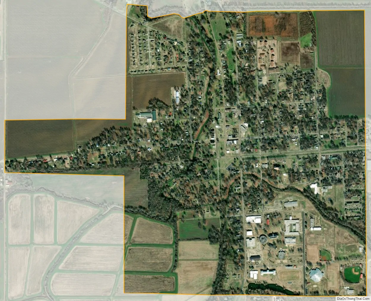
Moorhead city Satellite Map
Geography
According to the United States Census Bureau, the city has a total area of 1.3 square miles (3.4 km), of which 1.3 square miles (3.4 km) is land and 0.77% is water.
Moorhead is along U.S. Route 82, east of Indianola, at its intersection with Mississippi Highway 3. Moorhead is located at the intersection of the Southern and Yazoo Delta railroads. This is the origin of the legendary blues crossroads phrase “where the Southern cross the Dog”.
See also
Map of Mississippi State and its subdivision:- Adams
- Alcorn
- Amite
- Attala
- Benton
- Bolivar
- Calhoun
- Carroll
- Chickasaw
- Choctaw
- Claiborne
- Clarke
- Clay
- Coahoma
- Copiah
- Covington
- Desoto
- Forrest
- Franklin
- George
- Greene
- Grenada
- Hancock
- Harrison
- Hinds
- Holmes
- Humphreys
- Issaquena
- Itawamba
- Jackson
- Jasper
- Jefferson
- Jefferson Davis
- Jones
- Kemper
- Lafayette
- Lamar
- Lauderdale
- Lawrence
- Leake
- Lee
- Leflore
- Lincoln
- Lowndes
- Madison
- Marion
- Marshall
- Monroe
- Montgomery
- Neshoba
- Newton
- Noxubee
- Oktibbeha
- Panola
- Pearl River
- Perry
- Pike
- Pontotoc
- Prentiss
- Quitman
- Rankin
- Scott
- Sharkey
- Simpson
- Smith
- Stone
- Sunflower
- Tallahatchie
- Tate
- Tippah
- Tishomingo
- Tunica
- Union
- Walthall
- Warren
- Washington
- Wayne
- Webster
- Wilkinson
- Winston
- Yalobusha
- Yazoo
- Alabama
- Alaska
- Arizona
- Arkansas
- California
- Colorado
- Connecticut
- Delaware
- District of Columbia
- Florida
- Georgia
- Hawaii
- Idaho
- Illinois
- Indiana
- Iowa
- Kansas
- Kentucky
- Louisiana
- Maine
- Maryland
- Massachusetts
- Michigan
- Minnesota
- Mississippi
- Missouri
- Montana
- Nebraska
- Nevada
- New Hampshire
- New Jersey
- New Mexico
- New York
- North Carolina
- North Dakota
- Ohio
- Oklahoma
- Oregon
- Pennsylvania
- Rhode Island
- South Carolina
- South Dakota
- Tennessee
- Texas
- Utah
- Vermont
- Virginia
- Washington
- West Virginia
- Wisconsin
- Wyoming