Nettleton is a town in Lee and Monroe counties in Mississippi. The population was 1,935 at the 2020 census. Incorporated in 1888, the town was named after George Henry Nettleton, president of the Kansas City, Memphis and Birmingham Railroad (KCM&B).
| Name: | Nettleton city |
|---|---|
| LSAD Code: | 25 |
| LSAD Description: | city (suffix) |
| State: | Mississippi |
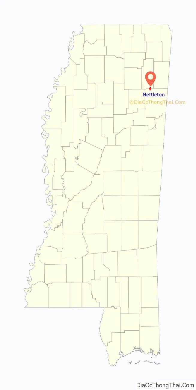
| County: | Lee County, Monroe County |
| Elevation: | 259 ft (79 m) |
| Total Area: | 4.04 sq mi (10.46 km²) |
| Land Area: | 4.03 sq mi (10.43 km²) |
| Water Area: | 0.01 sq mi (0.03 km²) |
| Total Population: | 1,935 |
| Population Density: | 480.63/sq mi (185.56/km²) |
| FIPS code: | 2850880 |
| GNISfeature ID: | 0674562 |
Online Interactive Map
Click on ![]() to view map in "full screen" mode.
to view map in "full screen" mode.
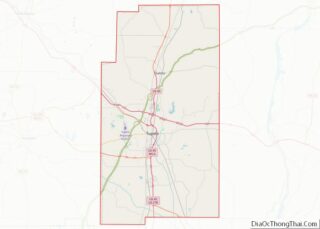
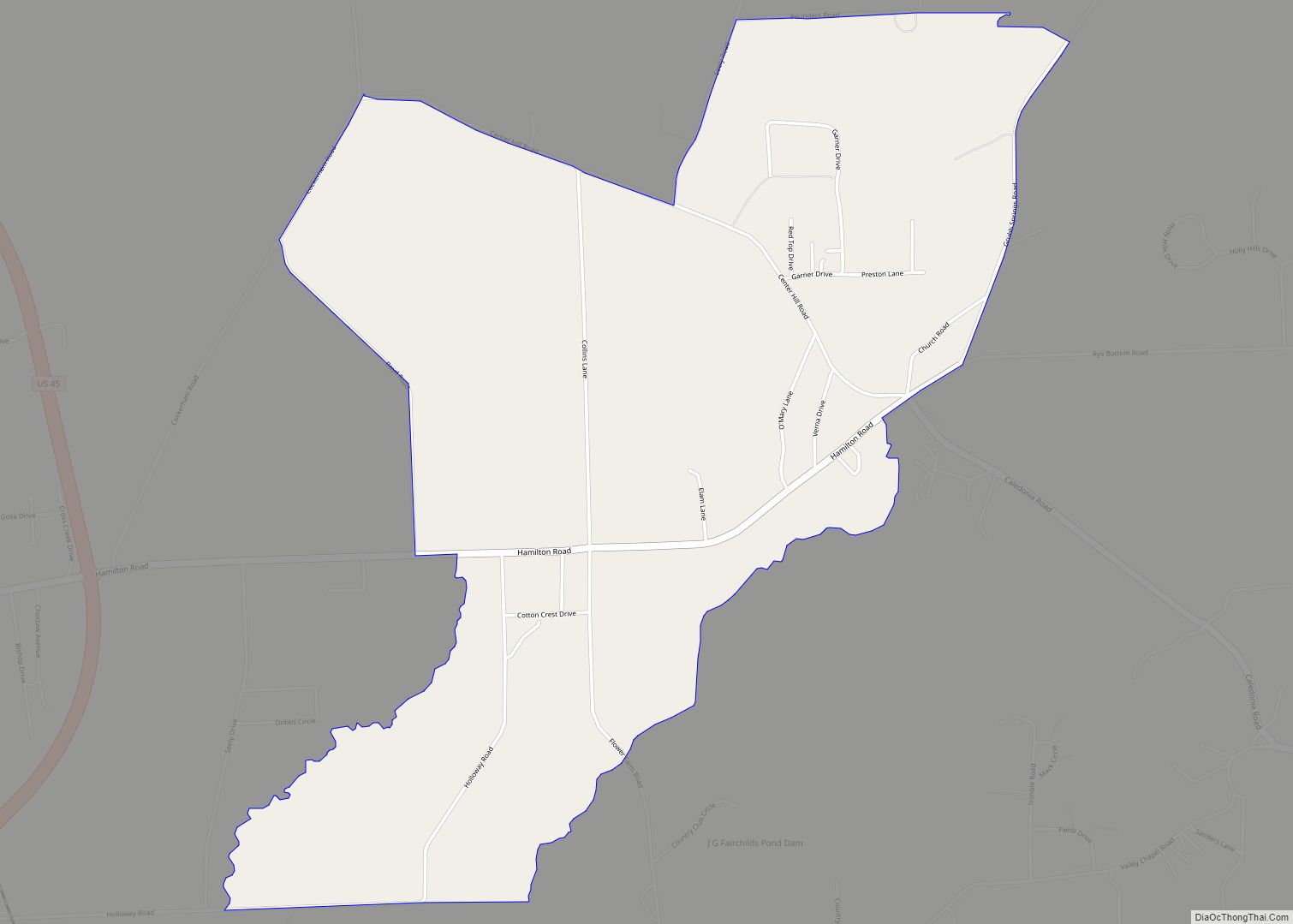
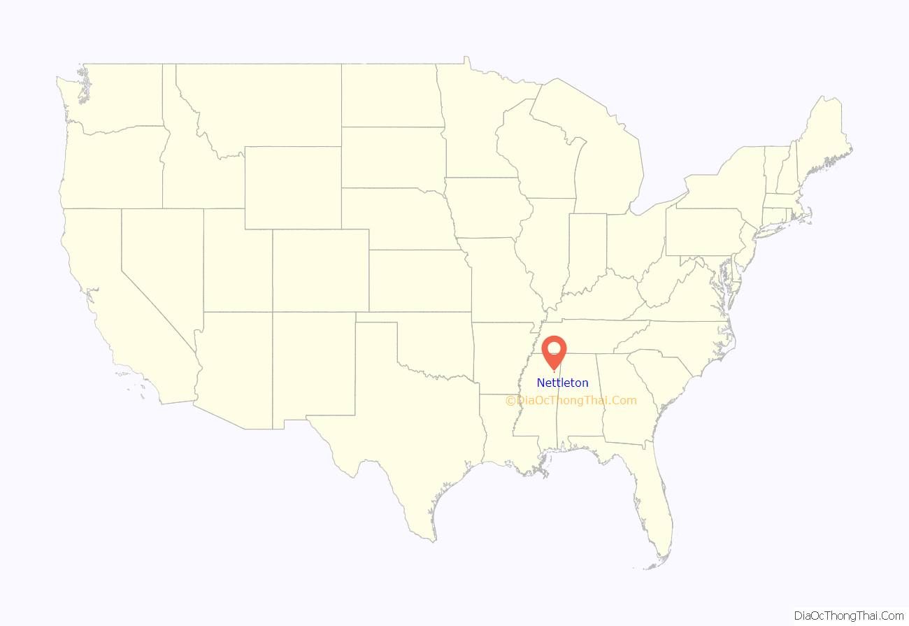
Nettleton location map. Where is Nettleton city?
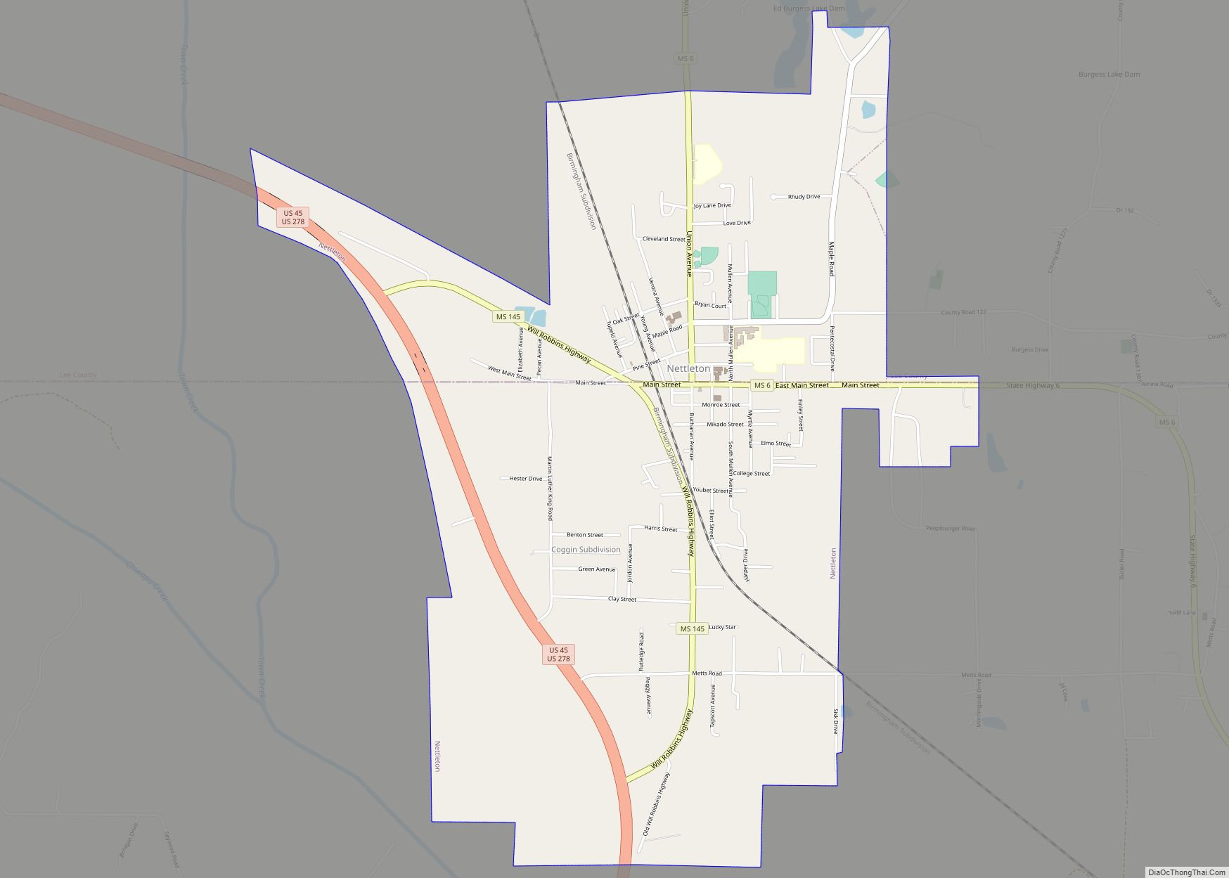
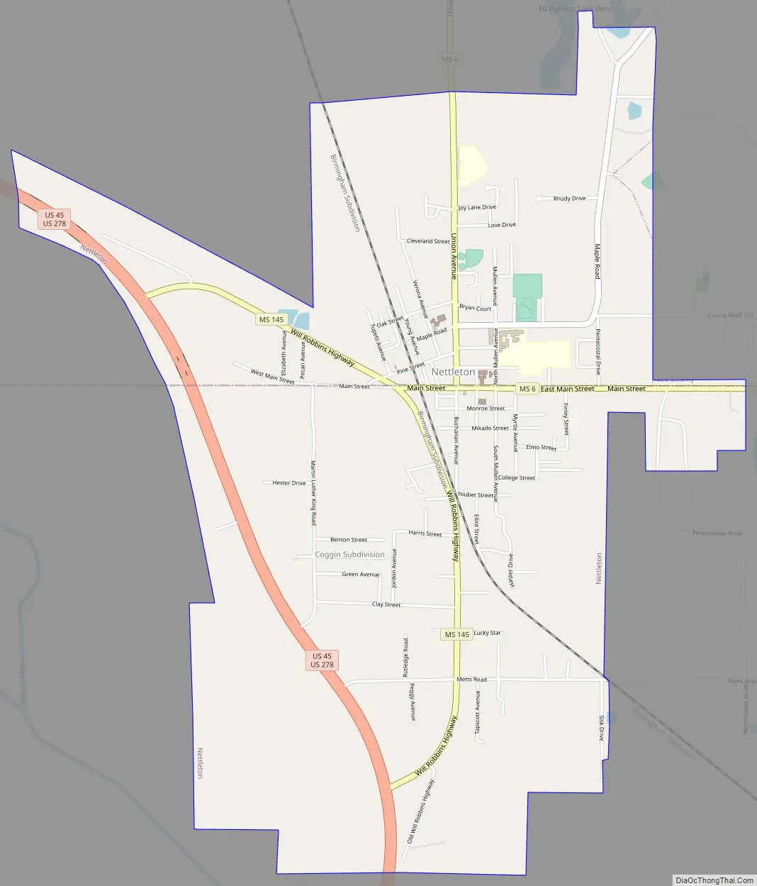
Nettleton Road Map
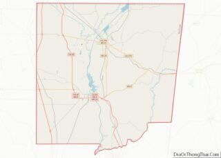
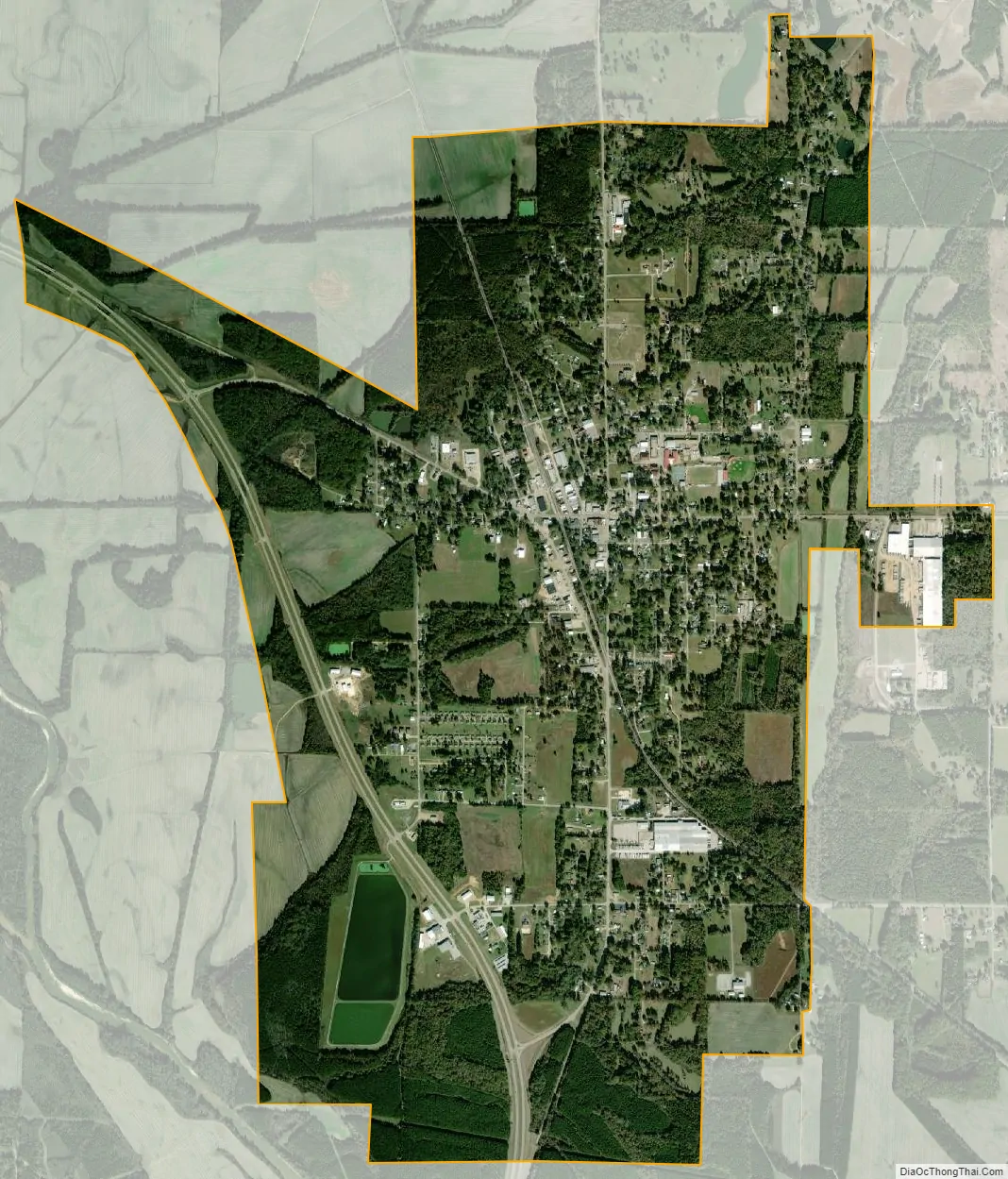
Nettleton city Satellite Map
Geography
Nettleton is located at 34°5′18″N 88°37′22″W / 34.08833°N 88.62278°W / 34.08833; -88.62278 (34.088218, -88.622701). The town sits on the boundary line between Lee County on the north and Monroe County on the south, with approximately equal portions of the town in either county. In the 2000 census, 1,196 of the town’s 1,932 residents (61.9%) lived in Monroe County and 736 (38.1%) in Lee County.
According to the United States Census Bureau, the town has a total area of 2.7 square miles (7.0 km), of which 2.7 square miles (7.0 km) is land and 0.37% is water.
See also
Map of Mississippi State and its subdivision:- Adams
- Alcorn
- Amite
- Attala
- Benton
- Bolivar
- Calhoun
- Carroll
- Chickasaw
- Choctaw
- Claiborne
- Clarke
- Clay
- Coahoma
- Copiah
- Covington
- Desoto
- Forrest
- Franklin
- George
- Greene
- Grenada
- Hancock
- Harrison
- Hinds
- Holmes
- Humphreys
- Issaquena
- Itawamba
- Jackson
- Jasper
- Jefferson
- Jefferson Davis
- Jones
- Kemper
- Lafayette
- Lamar
- Lauderdale
- Lawrence
- Leake
- Lee
- Leflore
- Lincoln
- Lowndes
- Madison
- Marion
- Marshall
- Monroe
- Montgomery
- Neshoba
- Newton
- Noxubee
- Oktibbeha
- Panola
- Pearl River
- Perry
- Pike
- Pontotoc
- Prentiss
- Quitman
- Rankin
- Scott
- Sharkey
- Simpson
- Smith
- Stone
- Sunflower
- Tallahatchie
- Tate
- Tippah
- Tishomingo
- Tunica
- Union
- Walthall
- Warren
- Washington
- Wayne
- Webster
- Wilkinson
- Winston
- Yalobusha
- Yazoo
- Alabama
- Alaska
- Arizona
- Arkansas
- California
- Colorado
- Connecticut
- Delaware
- District of Columbia
- Florida
- Georgia
- Hawaii
- Idaho
- Illinois
- Indiana
- Iowa
- Kansas
- Kentucky
- Louisiana
- Maine
- Maryland
- Massachusetts
- Michigan
- Minnesota
- Mississippi
- Missouri
- Montana
- Nebraska
- Nevada
- New Hampshire
- New Jersey
- New Mexico
- New York
- North Carolina
- North Dakota
- Ohio
- Oklahoma
- Oregon
- Pennsylvania
- Rhode Island
- South Carolina
- South Dakota
- Tennessee
- Texas
- Utah
- Vermont
- Virginia
- Washington
- West Virginia
- Wisconsin
- Wyoming