Noxapater is a town in Winston County, Mississippi. The population was 472 at the 2010 census.
| Name: | Noxapater town |
|---|---|
| LSAD Code: | 43 |
| LSAD Description: | town (suffix) |
| State: | Mississippi |
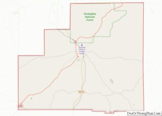
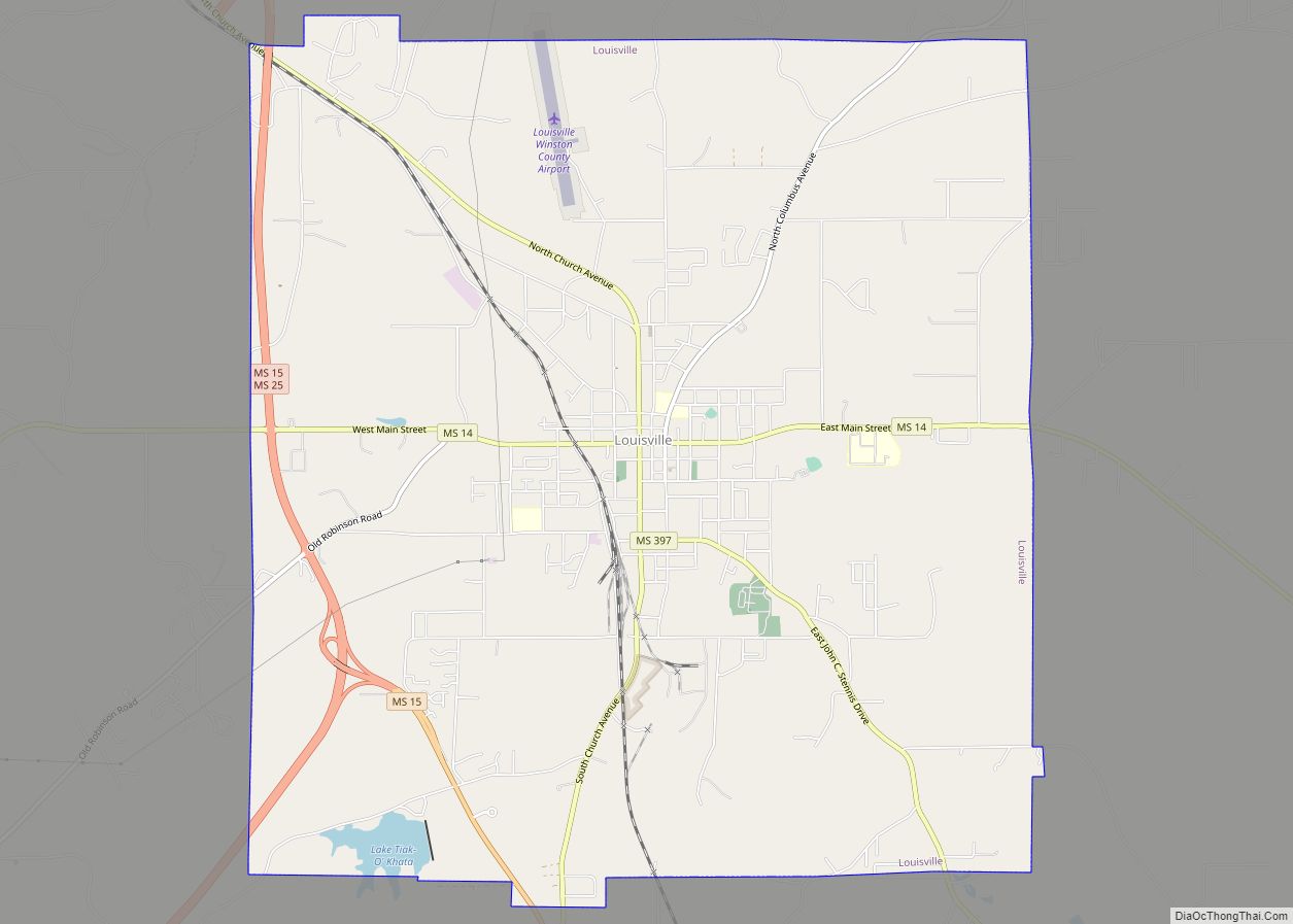
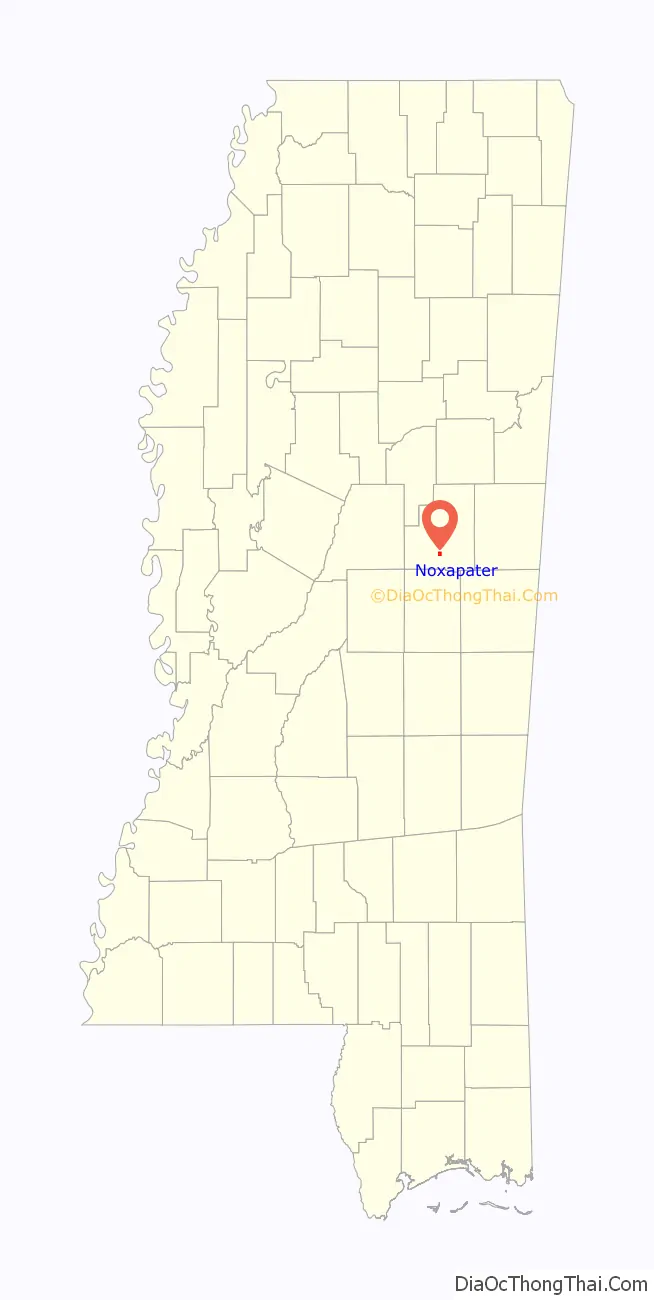
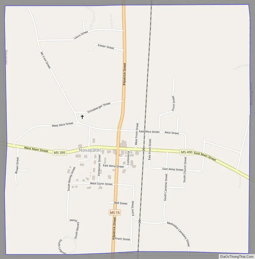
| County: | Winston County |
| Elevation: | 548 ft (167 m) |
| Total Area: | 1.01 sq mi (2.61 km²) |
| Land Area: | 1.01 sq mi (2.61 km²) |
| Water Area: | 0.00 sq mi (0.00 km²) |
| Total Population: | 390 |
| Population Density: | 387.29/sq mi (149.47/km²) |
| ZIP code: | 39346 |
| Area code: | 662 |
| FIPS code: | 2852880 |
| GNISfeature ID: | 0674982 |
| Website: | www.noxapater.com |
Online Interactive Map
Click on ![]() to view map in "full screen" mode.
to view map in "full screen" mode.
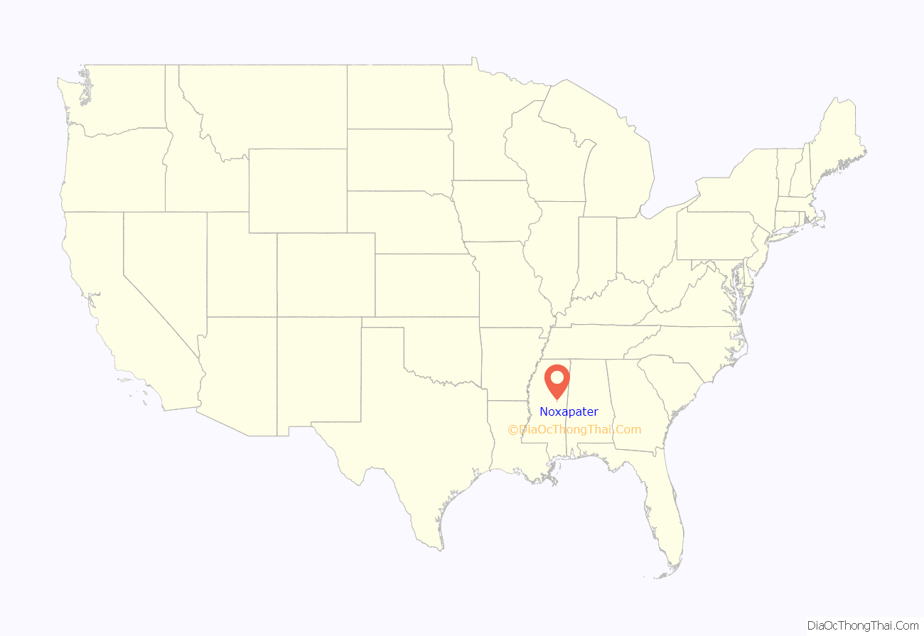
Noxapater location map. Where is Noxapater town?
History
The community takes its name from Noxapater Creek, which flows near the site. A post office was established in 1846, and the town was incorporated in 1906.
Noxapater was a stop on the Mobile, Jackson and Kansas City Railroad, built in 1890.
In 1927, a mob of 1,000 white men, mostly from Louisville, lynched two African-Americans, Jim and Mark Fox. The Foxes were accused of killing a white man who started a fight with them.
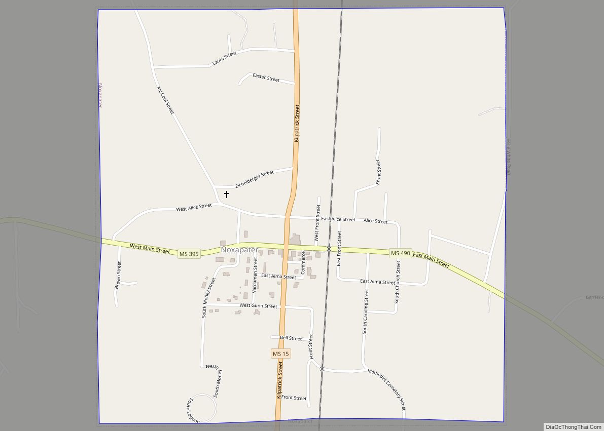
Noxapater Road Map
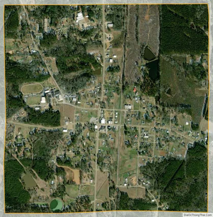
Noxapater city Satellite Map
Geography
Noxapater is located at 32°59′32″N 89°3′50″W / 32.99222°N 89.06389°W / 32.99222; -89.06389 (32.992208, -89.063796).
According to the United States Census Bureau, the town has a total area of 1.0 square mile (2.6 km), all land.
See also
Map of Mississippi State and its subdivision:- Adams
- Alcorn
- Amite
- Attala
- Benton
- Bolivar
- Calhoun
- Carroll
- Chickasaw
- Choctaw
- Claiborne
- Clarke
- Clay
- Coahoma
- Copiah
- Covington
- Desoto
- Forrest
- Franklin
- George
- Greene
- Grenada
- Hancock
- Harrison
- Hinds
- Holmes
- Humphreys
- Issaquena
- Itawamba
- Jackson
- Jasper
- Jefferson
- Jefferson Davis
- Jones
- Kemper
- Lafayette
- Lamar
- Lauderdale
- Lawrence
- Leake
- Lee
- Leflore
- Lincoln
- Lowndes
- Madison
- Marion
- Marshall
- Monroe
- Montgomery
- Neshoba
- Newton
- Noxubee
- Oktibbeha
- Panola
- Pearl River
- Perry
- Pike
- Pontotoc
- Prentiss
- Quitman
- Rankin
- Scott
- Sharkey
- Simpson
- Smith
- Stone
- Sunflower
- Tallahatchie
- Tate
- Tippah
- Tishomingo
- Tunica
- Union
- Walthall
- Warren
- Washington
- Wayne
- Webster
- Wilkinson
- Winston
- Yalobusha
- Yazoo
- Alabama
- Alaska
- Arizona
- Arkansas
- California
- Colorado
- Connecticut
- Delaware
- District of Columbia
- Florida
- Georgia
- Hawaii
- Idaho
- Illinois
- Indiana
- Iowa
- Kansas
- Kentucky
- Louisiana
- Maine
- Maryland
- Massachusetts
- Michigan
- Minnesota
- Mississippi
- Missouri
- Montana
- Nebraska
- Nevada
- New Hampshire
- New Jersey
- New Mexico
- New York
- North Carolina
- North Dakota
- Ohio
- Oklahoma
- Oregon
- Pennsylvania
- Rhode Island
- South Carolina
- South Dakota
- Tennessee
- Texas
- Utah
- Vermont
- Virginia
- Washington
- West Virginia
- Wisconsin
- Wyoming