Oakland is a town in Yalobusha County, Mississippi, United States. The population was 527 at the time of the 2010 census.
| Name: | Oakland town |
|---|---|
| LSAD Code: | 43 |
| LSAD Description: | town (suffix) |
| State: | Mississippi |
| County: | Yalobusha County |
| Elevation: | 351 ft (107 m) |
| Total Area: | 1.53 sq mi (3.96 km²) |
| Land Area: | 1.53 sq mi (3.96 km²) |
| Water Area: | 0.00 sq mi (0.00 km²) |
| Total Population: | 462 |
| Population Density: | 302.16/sq mi (116.66/km²) |
| ZIP code: | 38948 |
| Area code: | 662 |
| FIPS code: | 2853200 |
| GNISfeature ID: | 675114 |
Online Interactive Map
Click on ![]() to view map in "full screen" mode.
to view map in "full screen" mode.
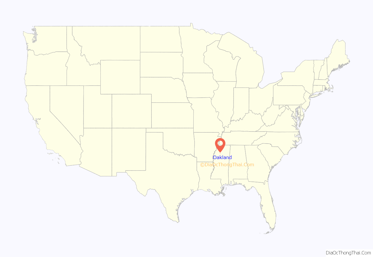
Oakland location map. Where is Oakland town?
History
Oakland was first settled around 1836, and was located 1.5 mi (2.4 km) east of its present location. The town moved when the Mississippi and Tennessee Railroad was built in the 1850s.
During the Civil War, the Battle of Oakland occurred on December 3, 1862, when Union Army General Cadwallader C. Washburn’s 1,900 cavalrymen encountered Confederate Colonel John Summerfield Griffith’s 6th Texas Cavalry Regiment at Oakland. Both sides withdrew after several hours of fighting.
In the early 1900s, the farms surrounding Oakland produced corn, cotton, vegetables and fruits, and “it is claimed that Oakland pears rival those of California”. Oakland was prosperous, and “one of the best business towns of its size in the State”, with two churches, a cotton gin, schools, merchants, and a bank, The Bank of Oakland.
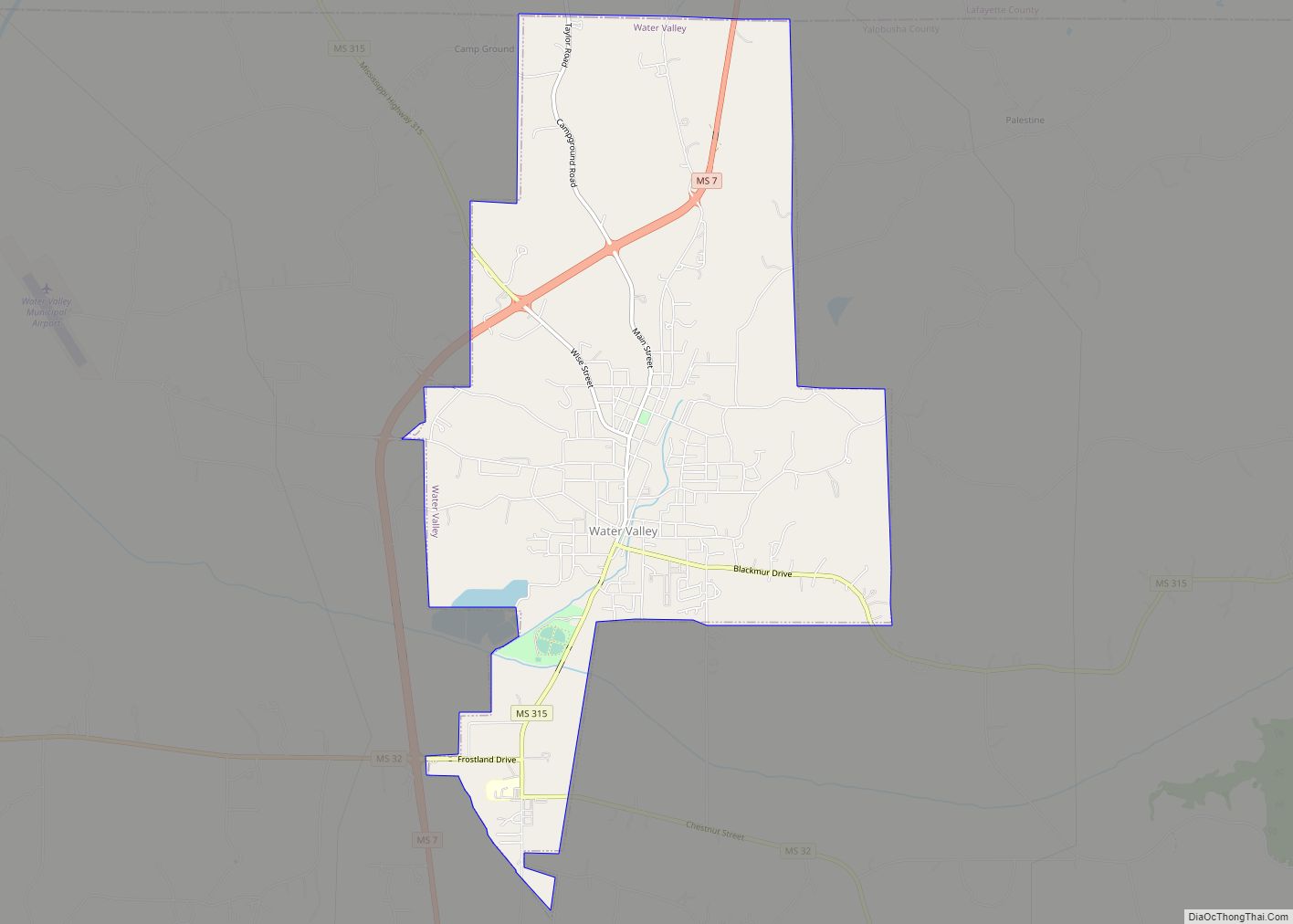
Oakland Road Map
Oakland city Satellite Map
Geography
According to the United States Census Bureau, the town has a total area of 1.4 square miles (3.6 km), all land.
See also
Map of Mississippi State and its subdivision:- Adams
- Alcorn
- Amite
- Attala
- Benton
- Bolivar
- Calhoun
- Carroll
- Chickasaw
- Choctaw
- Claiborne
- Clarke
- Clay
- Coahoma
- Copiah
- Covington
- Desoto
- Forrest
- Franklin
- George
- Greene
- Grenada
- Hancock
- Harrison
- Hinds
- Holmes
- Humphreys
- Issaquena
- Itawamba
- Jackson
- Jasper
- Jefferson
- Jefferson Davis
- Jones
- Kemper
- Lafayette
- Lamar
- Lauderdale
- Lawrence
- Leake
- Lee
- Leflore
- Lincoln
- Lowndes
- Madison
- Marion
- Marshall
- Monroe
- Montgomery
- Neshoba
- Newton
- Noxubee
- Oktibbeha
- Panola
- Pearl River
- Perry
- Pike
- Pontotoc
- Prentiss
- Quitman
- Rankin
- Scott
- Sharkey
- Simpson
- Smith
- Stone
- Sunflower
- Tallahatchie
- Tate
- Tippah
- Tishomingo
- Tunica
- Union
- Walthall
- Warren
- Washington
- Wayne
- Webster
- Wilkinson
- Winston
- Yalobusha
- Yazoo
- Alabama
- Alaska
- Arizona
- Arkansas
- California
- Colorado
- Connecticut
- Delaware
- District of Columbia
- Florida
- Georgia
- Hawaii
- Idaho
- Illinois
- Indiana
- Iowa
- Kansas
- Kentucky
- Louisiana
- Maine
- Maryland
- Massachusetts
- Michigan
- Minnesota
- Mississippi
- Missouri
- Montana
- Nebraska
- Nevada
- New Hampshire
- New Jersey
- New Mexico
- New York
- North Carolina
- North Dakota
- Ohio
- Oklahoma
- Oregon
- Pennsylvania
- Rhode Island
- South Carolina
- South Dakota
- Tennessee
- Texas
- Utah
- Vermont
- Virginia
- Washington
- West Virginia
- Wisconsin
- Wyoming
