Petal is a city in Forrest County, Mississippi, along the Leaf River. It is part of the Hattiesburg, Mississippi Metropolitan Statistical Area. The population was 10,454 in the 2010 census, increasing to 11,010 in the 2020 census.
| Name: | Petal city |
|---|---|
| LSAD Code: | 25 |
| LSAD Description: | city (suffix) |
| State: | Mississippi |
| County: | Forrest County |
| Elevation: | 157 ft (48 m) |
| Total Area: | 17.15 sq mi (44.41 km²) |
| Land Area: | 16.77 sq mi (43.44 km²) |
| Water Area: | 0.38 sq mi (0.97 km²) |
| Total Population: | 11,010 |
| Population Density: | 656.49/sq mi (253.48/km²) |
| ZIP code: | 39465 |
| Area code: | 601 |
| FIPS code: | 2856800 |
| GNISfeature ID: | 0675641 |
| Website: | www.cityofpetal.com |
Online Interactive Map
Click on ![]() to view map in "full screen" mode.
to view map in "full screen" mode.
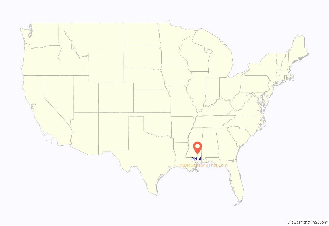
Petal location map. Where is Petal city?
History
The first postmaster of Petal was Irving A. Polk. The post office was established in 1903 and was named after the daughter of a first settler. It is the only city in the U.S. with this name. Petal separated from the city of Hattiesburg on April 4, 1974. Petal was a community filled with farmers. This is slowly changing with new businesses coming into the city.
The International Checker Hall of Fame was located in Petal until September 29, 2007, when 20,000 square feet (1,900 m) of the 35,000-square-foot (3,300 m) building caught fire.
Petal was extensively damaged by an EF3 tornado on January 21, 2017.
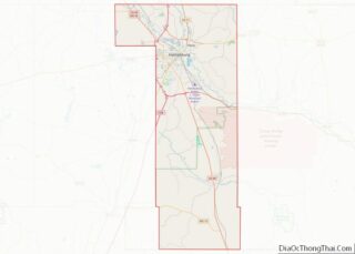
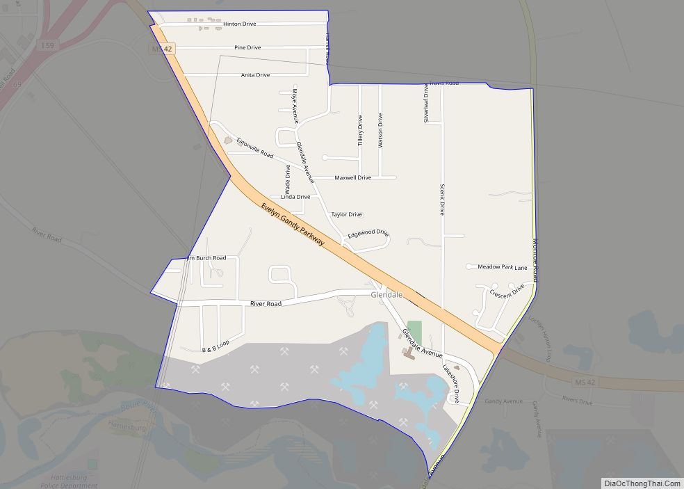
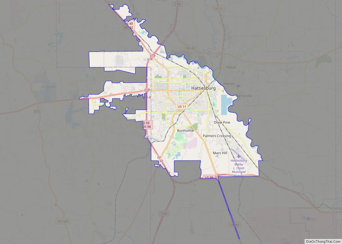
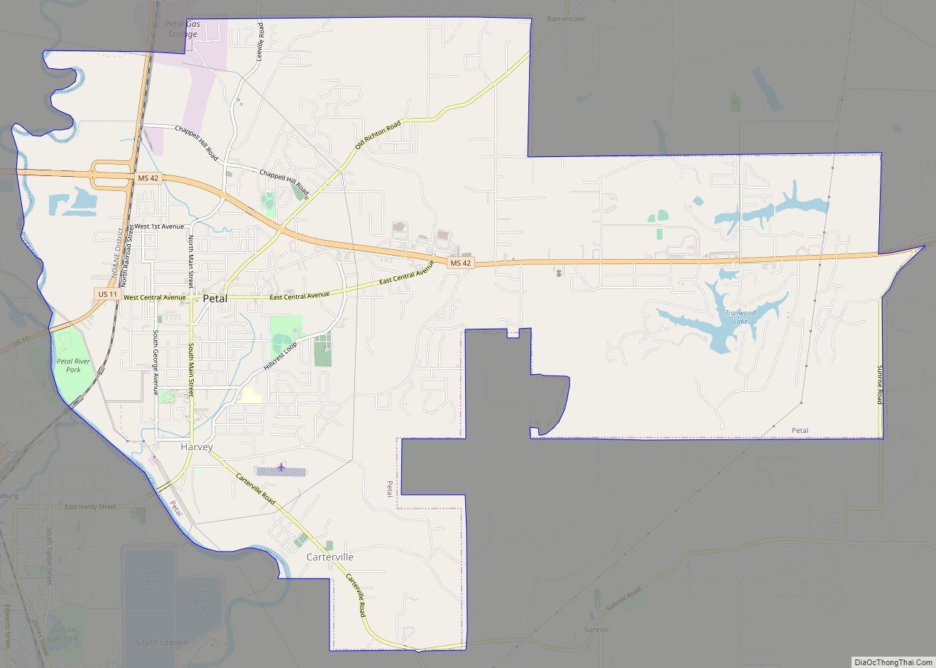
Petal Road Map
Petal city Satellite Map
Geography
As of the 2010 census, the city had a total area of 17.1 square miles (44.4 km), of which 16.9 square miles (43.7 km) was land and 0.3 square miles (0.7 km), or 1.62%, was water. The city’s area had increased by nearly 75% since 2000, following an annexation effort approved in 2002. Major sub-communities as of the annex are Macedonia, Barrontown, Sunrise, and Leeville. The Harvey community (currently downtown Petal) hosts city departments.
See also
Map of Mississippi State and its subdivision:- Adams
- Alcorn
- Amite
- Attala
- Benton
- Bolivar
- Calhoun
- Carroll
- Chickasaw
- Choctaw
- Claiborne
- Clarke
- Clay
- Coahoma
- Copiah
- Covington
- Desoto
- Forrest
- Franklin
- George
- Greene
- Grenada
- Hancock
- Harrison
- Hinds
- Holmes
- Humphreys
- Issaquena
- Itawamba
- Jackson
- Jasper
- Jefferson
- Jefferson Davis
- Jones
- Kemper
- Lafayette
- Lamar
- Lauderdale
- Lawrence
- Leake
- Lee
- Leflore
- Lincoln
- Lowndes
- Madison
- Marion
- Marshall
- Monroe
- Montgomery
- Neshoba
- Newton
- Noxubee
- Oktibbeha
- Panola
- Pearl River
- Perry
- Pike
- Pontotoc
- Prentiss
- Quitman
- Rankin
- Scott
- Sharkey
- Simpson
- Smith
- Stone
- Sunflower
- Tallahatchie
- Tate
- Tippah
- Tishomingo
- Tunica
- Union
- Walthall
- Warren
- Washington
- Wayne
- Webster
- Wilkinson
- Winston
- Yalobusha
- Yazoo
- Alabama
- Alaska
- Arizona
- Arkansas
- California
- Colorado
- Connecticut
- Delaware
- District of Columbia
- Florida
- Georgia
- Hawaii
- Idaho
- Illinois
- Indiana
- Iowa
- Kansas
- Kentucky
- Louisiana
- Maine
- Maryland
- Massachusetts
- Michigan
- Minnesota
- Mississippi
- Missouri
- Montana
- Nebraska
- Nevada
- New Hampshire
- New Jersey
- New Mexico
- New York
- North Carolina
- North Dakota
- Ohio
- Oklahoma
- Oregon
- Pennsylvania
- Rhode Island
- South Carolina
- South Dakota
- Tennessee
- Texas
- Utah
- Vermont
- Virginia
- Washington
- West Virginia
- Wisconsin
- Wyoming
