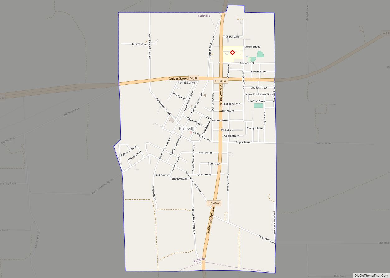
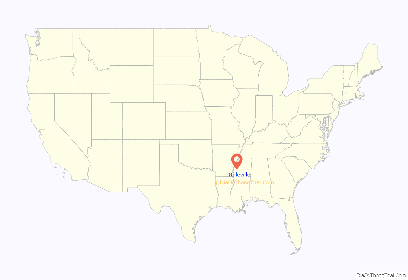
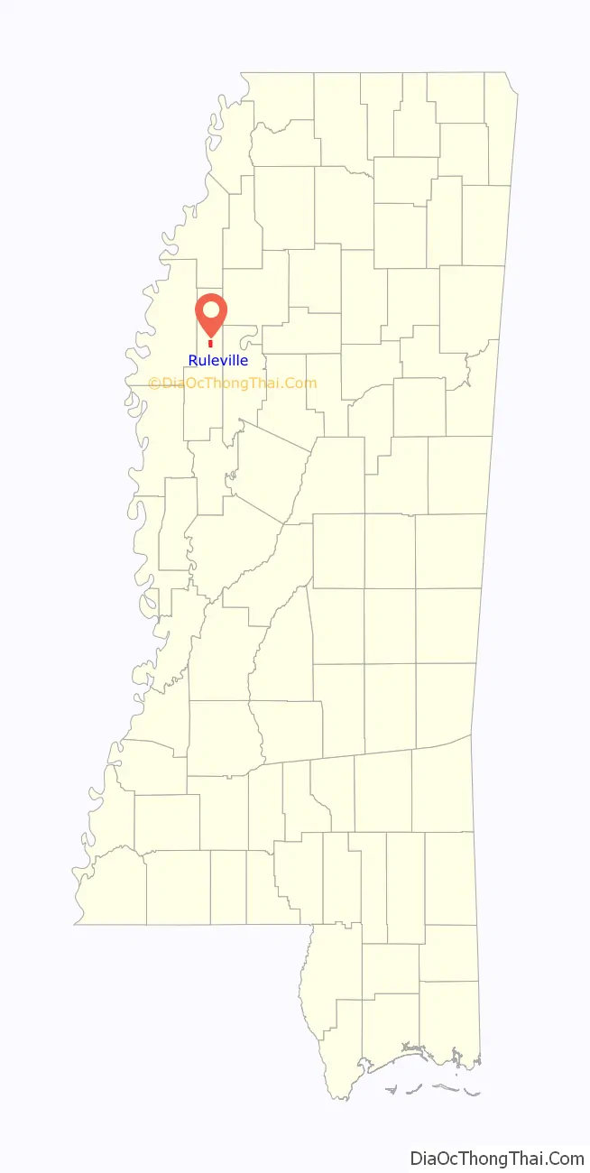
Ruleville is a city in Sunflower County, Mississippi, United States, in the Mississippi Delta region. The population was 3,007 at the 2010 census. It is the second-largest community in the rural county.
| Name: | Ruleville city |
|---|---|
| LSAD Code: | 25 |
| LSAD Description: | city (suffix) |
| State: | Mississippi |
| County: | Sunflower County |
| Elevation: | 135 ft (41 m) |
| Total Area: | 2.53 sq mi (6.54 km²) |
| Land Area: | 2.52 sq mi (6.52 km²) |
| Water Area: | 0.01 sq mi (0.02 km²) |
| Total Population: | 2,642 |
| Population Density: | 1,049.25/sq mi (405.07/km²) |
| ZIP code: | 38771 |
| Area code: | 662 |
| FIPS code: | 2864200 |
| GNISfeature ID: | 0676950 |
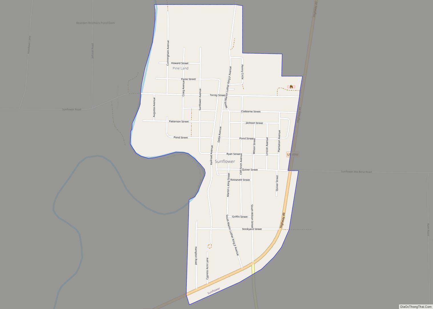
Online Interactive Map
Click on ![]() to view map in "full screen" mode.
to view map in "full screen" mode.
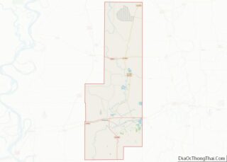
Ruleville location map. Where is Ruleville city?
History
Ruleville was described as “surrounded by a fine fertile country and timber lands”. Development of the settlement followed construction of the Yazoo and Mississippi Valley Railroad, which established a stop here. The village was laid out in 1898 by J. W. Rule, for whom it was named. In September 1899 the official petition to Governor Anselm J. McLaurin to incorporate contained 98 names of the ‘citizens and electors of Sunflower County…[who] reside in the village’ noting that 150 people currently lived inside the village.
The rural area was being developed for cotton plantations after the American Civil War. Ruleville was established as an important cotton shipping point on the railroad. By the early 1900s, Ruleville had telephone and telegraph facilities, about 20 businesses, two white churches and one black church, a water works system, an electric light plant, three public gins, and excellent public schools for the white population. The population in 1900 was 336. The Bank of Ruleville was established in 1903.
During the Civil Rights Movement that expanded beginning in the 1950s, Fannie Lou Hamer, a farm worker, started a movement for poor people.
Ruleville Road Map
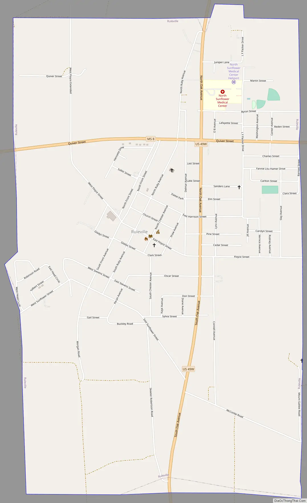
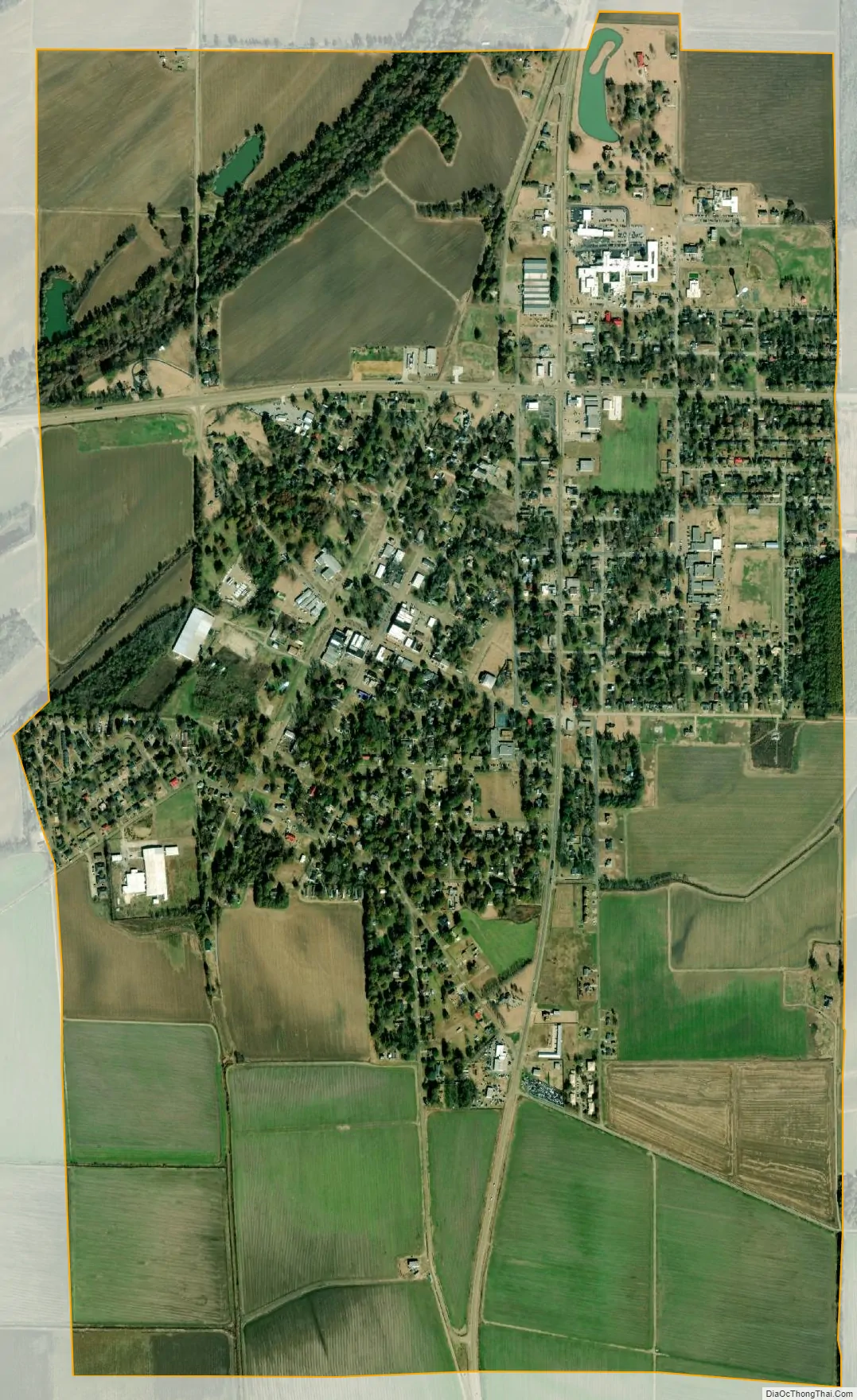
Ruleville city Satellite Map
Geography
According to the United States Census Bureau, the city has a total area of 2.5 square miles (6.5 km), of which 2.5 square miles (6.5 km) is land and 0.39% is water.
Ruleville is along U.S. Route 49W. Ruleville is about 15 miles (24 km) from the Mississippi State Penitentiary (Parchman).
See also
Map of Mississippi State and its subdivision:- Adams
- Alcorn
- Amite
- Attala
- Benton
- Bolivar
- Calhoun
- Carroll
- Chickasaw
- Choctaw
- Claiborne
- Clarke
- Clay
- Coahoma
- Copiah
- Covington
- Desoto
- Forrest
- Franklin
- George
- Greene
- Grenada
- Hancock
- Harrison
- Hinds
- Holmes
- Humphreys
- Issaquena
- Itawamba
- Jackson
- Jasper
- Jefferson
- Jefferson Davis
- Jones
- Kemper
- Lafayette
- Lamar
- Lauderdale
- Lawrence
- Leake
- Lee
- Leflore
- Lincoln
- Lowndes
- Madison
- Marion
- Marshall
- Monroe
- Montgomery
- Neshoba
- Newton
- Noxubee
- Oktibbeha
- Panola
- Pearl River
- Perry
- Pike
- Pontotoc
- Prentiss
- Quitman
- Rankin
- Scott
- Sharkey
- Simpson
- Smith
- Stone
- Sunflower
- Tallahatchie
- Tate
- Tippah
- Tishomingo
- Tunica
- Union
- Walthall
- Warren
- Washington
- Wayne
- Webster
- Wilkinson
- Winston
- Yalobusha
- Yazoo
- Alabama
- Alaska
- Arizona
- Arkansas
- California
- Colorado
- Connecticut
- Delaware
- District of Columbia
- Florida
- Georgia
- Hawaii
- Idaho
- Illinois
- Indiana
- Iowa
- Kansas
- Kentucky
- Louisiana
- Maine
- Maryland
- Massachusetts
- Michigan
- Minnesota
- Mississippi
- Missouri
- Montana
- Nebraska
- Nevada
- New Hampshire
- New Jersey
- New Mexico
- New York
- North Carolina
- North Dakota
- Ohio
- Oklahoma
- Oregon
- Pennsylvania
- Rhode Island
- South Carolina
- South Dakota
- Tennessee
- Texas
- Utah
- Vermont
- Virginia
- Washington
- West Virginia
- Wisconsin
- Wyoming