Shannon is a town in Lee County, Mississippi. The population was 1,496 at the 2020 Census.
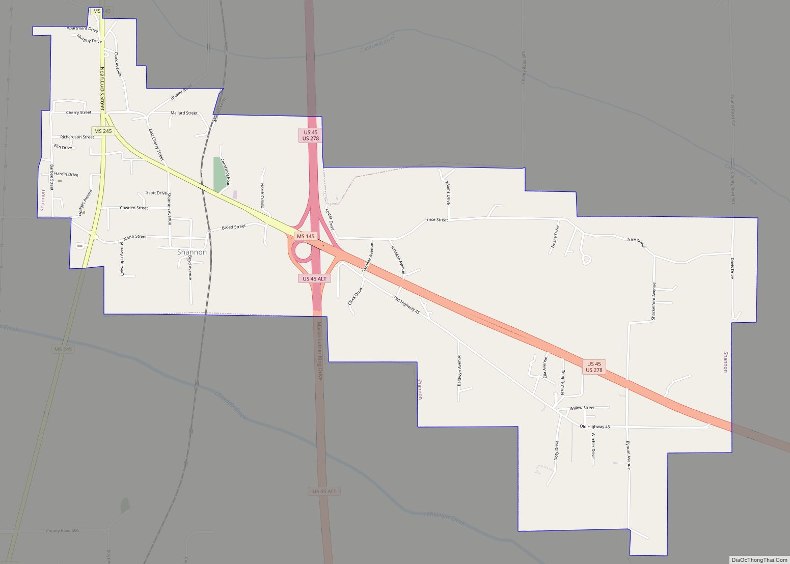
Shannon is located on Mississippi Highway 145, west of U.S. Route 45. Chiwapa Creek flows south of the town.
| Name: | Shannon town |
|---|---|
| LSAD Code: | 43 |
| LSAD Description: | town (suffix) |
| State: | Mississippi |
| County: | Lee County |
| Elevation: | 256 ft (78 m) |
| Total Area: | 4.05 sq mi (10.49 km²) |
| Land Area: | 4.05 sq mi (10.49 km²) |
| Water Area: | 0.00 sq mi (0.00 km²) |
| Total Population: | 1,496 |
| Population Density: | 369.38/sq mi (142.62/km²) |
| ZIP code: | 38868 |
| Area code: | 662 |
| FIPS code: | 2866720 |
| GNISfeature ID: | 0677612 |
| Website: | townofshannon.org |
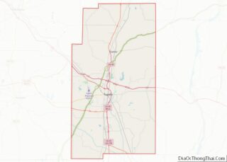
Online Interactive Map
Click on ![]() to view map in "full screen" mode.
to view map in "full screen" mode.
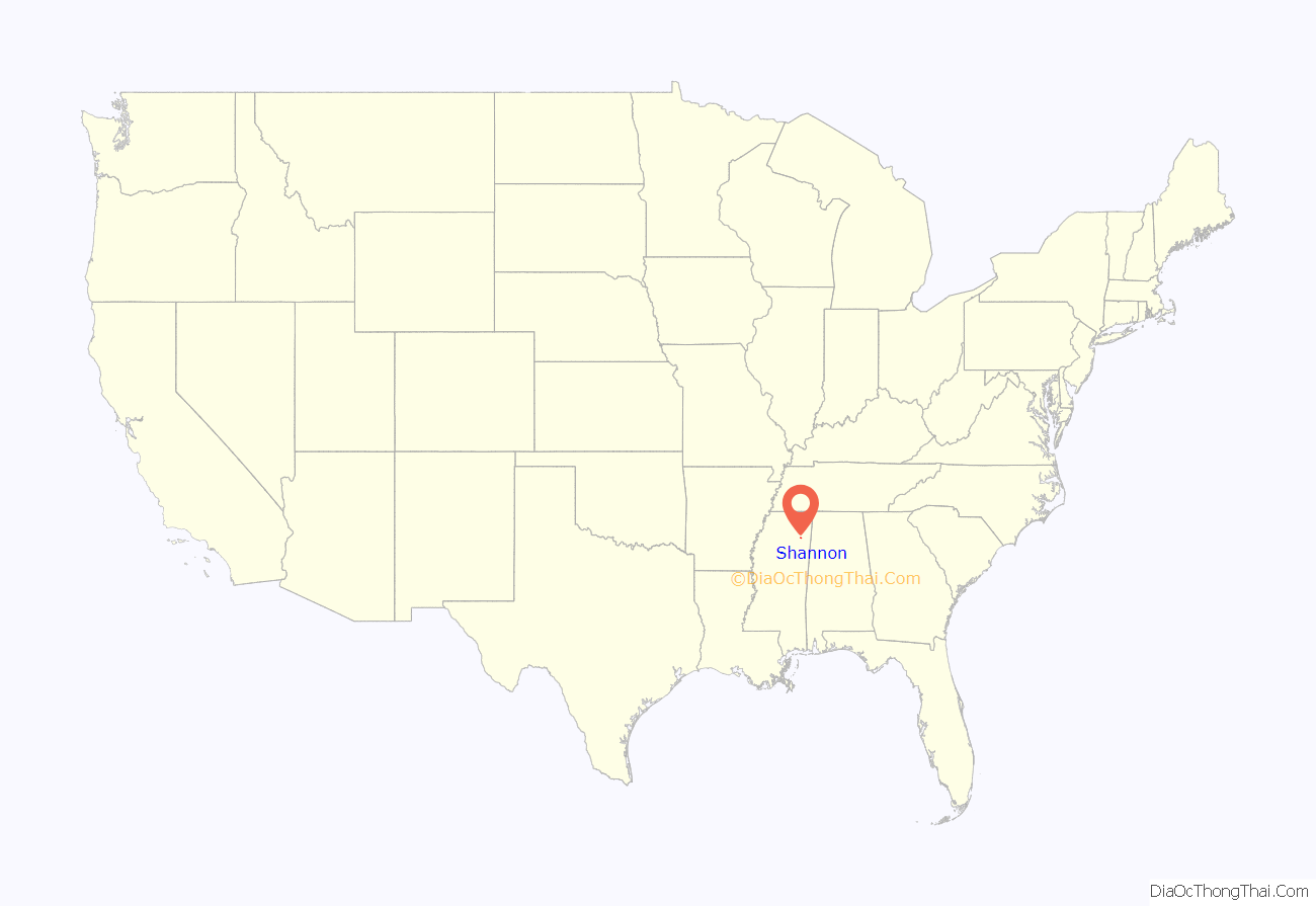
Shannon location map. Where is Shannon town?
History
The town is named for Samuel Shannon, who purchased land at that location from Chickasaw Chief Itawamba in the early 1800s, then built a cabin and a farm. More settlers arrived following the Treaty of Pontotoc, which ceding Chickasaw land in exchange for financial compensation.
In the early 1800s, Constantine Shannon brought strawberry plants from Shannon to Plant City, Florida, enabling the creation of a multimillion-dollar industry in Plant City.
A church was established in 1839.
The original townsite was north of the present location, and was moved when the Mobile and Ohio Railroad was constructed through the community in the 1850s. Shannon was incorporated in 1860 and a post office was established. Shannon was originally part of Itawamba County, but became part of Lee county after that county formed in 1866.
Commerce expanded in Shannon, and there was a corn elevator, grain elevator, and three cotton gins. Around 1915, Coca-Cola was bottled in Shannon.
The old Francis Store, one of the town’s original buildings, is now a restaurant owned by the Town of Shannon.
Gay bar controversy
From 1998 until 2007, Shannon was home to Rumors, a gay bar featured in the Kevin Smith/Malcolm Ingram film Small Town Gay Bar. In 2013, after a hiatus, local businesspeople tried to reopen the bar. The town refused. This refusal led to a lawsuit claiming the town had refused the application out of concern of having a gay bar in its jurisdiction.
A message on the town’s website reads: “we take pride in being on the quiet side of county with our relaxed country living where traditions of family, faith, and brotherly love make up who we are today.”
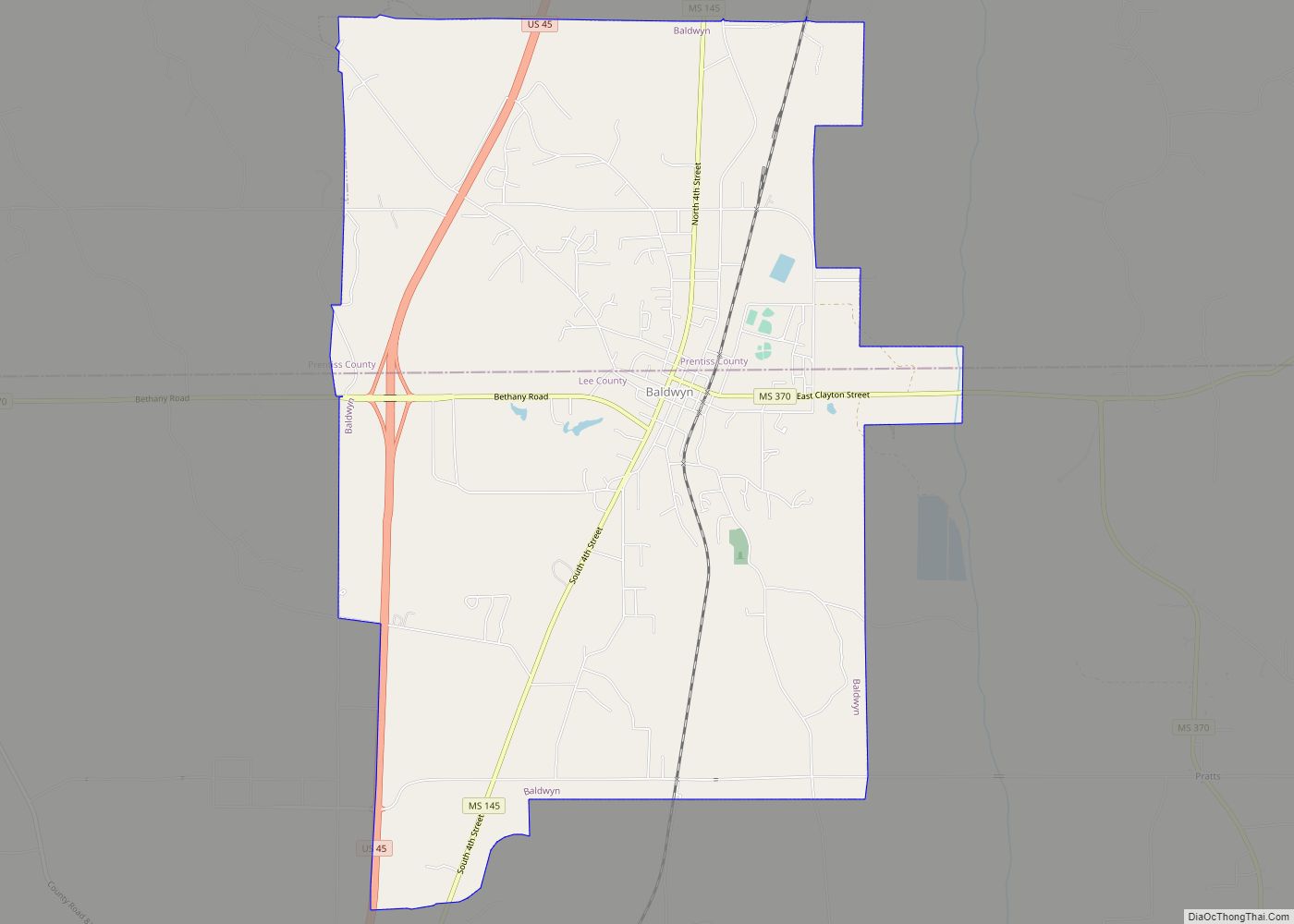
Shannon Road Map
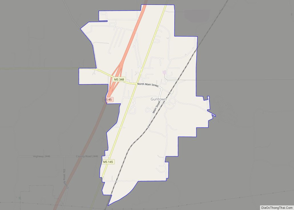
Shannon city Satellite Map
Geography
Shannon is located at 34°7′1″N 88°42′5″W / 34.11694°N 88.70139°W / 34.11694; -88.70139 (34.116826, -88.701520).
According to the United States Census Bureau, the town has a total area of 4.1 square miles (11 km), all land.
See also
Map of Mississippi State and its subdivision:- Adams
- Alcorn
- Amite
- Attala
- Benton
- Bolivar
- Calhoun
- Carroll
- Chickasaw
- Choctaw
- Claiborne
- Clarke
- Clay
- Coahoma
- Copiah
- Covington
- Desoto
- Forrest
- Franklin
- George
- Greene
- Grenada
- Hancock
- Harrison
- Hinds
- Holmes
- Humphreys
- Issaquena
- Itawamba
- Jackson
- Jasper
- Jefferson
- Jefferson Davis
- Jones
- Kemper
- Lafayette
- Lamar
- Lauderdale
- Lawrence
- Leake
- Lee
- Leflore
- Lincoln
- Lowndes
- Madison
- Marion
- Marshall
- Monroe
- Montgomery
- Neshoba
- Newton
- Noxubee
- Oktibbeha
- Panola
- Pearl River
- Perry
- Pike
- Pontotoc
- Prentiss
- Quitman
- Rankin
- Scott
- Sharkey
- Simpson
- Smith
- Stone
- Sunflower
- Tallahatchie
- Tate
- Tippah
- Tishomingo
- Tunica
- Union
- Walthall
- Warren
- Washington
- Wayne
- Webster
- Wilkinson
- Winston
- Yalobusha
- Yazoo
- Alabama
- Alaska
- Arizona
- Arkansas
- California
- Colorado
- Connecticut
- Delaware
- District of Columbia
- Florida
- Georgia
- Hawaii
- Idaho
- Illinois
- Indiana
- Iowa
- Kansas
- Kentucky
- Louisiana
- Maine
- Maryland
- Massachusetts
- Michigan
- Minnesota
- Mississippi
- Missouri
- Montana
- Nebraska
- Nevada
- New Hampshire
- New Jersey
- New Mexico
- New York
- North Carolina
- North Dakota
- Ohio
- Oklahoma
- Oregon
- Pennsylvania
- Rhode Island
- South Carolina
- South Dakota
- Tennessee
- Texas
- Utah
- Vermont
- Virginia
- Washington
- West Virginia
- Wisconsin
- Wyoming
