Shelby is a city in Bolivar County, Mississippi, United States. The population was 2,229 at the 2010 census, down from 2,926 in 2000. The town of Shelby was established in 1853 by Tom Shelby, who had purchased a block of land there from the federal government.
| Name: | Shelby city |
|---|---|
| LSAD Code: | 25 |
| LSAD Description: | city (suffix) |
| State: | Mississippi |
| County: | Bolivar County |
| Elevation: | 154 ft (47 m) |
| Total Area: | 2.74 sq mi (7.10 km²) |
| Land Area: | 2.73 sq mi (7.07 km²) |
| Water Area: | 0.01 sq mi (0.03 km²) |
| Total Population: | 2,021 |
| Population Density: | 740.02/sq mi (285.73/km²) |
| ZIP code: | 38774 |
| Area code: | 662 |
| FIPS code: | 2867040 |
| GNISfeature ID: | 0677634 |
| Website: | cityofshelbyms.com |
Online Interactive Map
Click on ![]() to view map in "full screen" mode.
to view map in "full screen" mode.
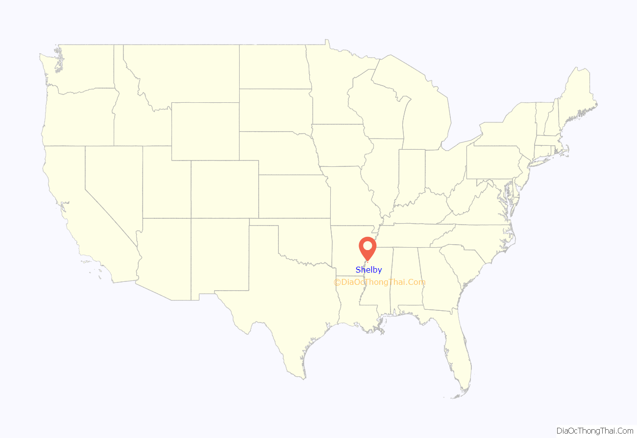
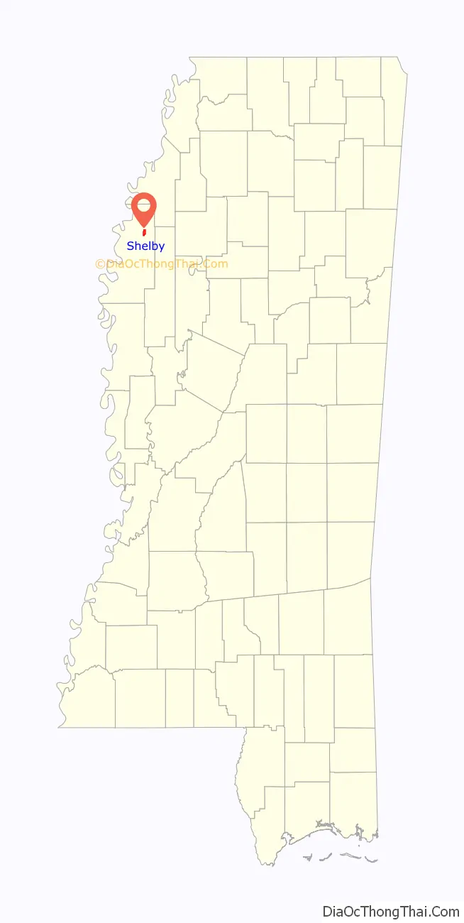
Shelby location map. Where is Shelby city?
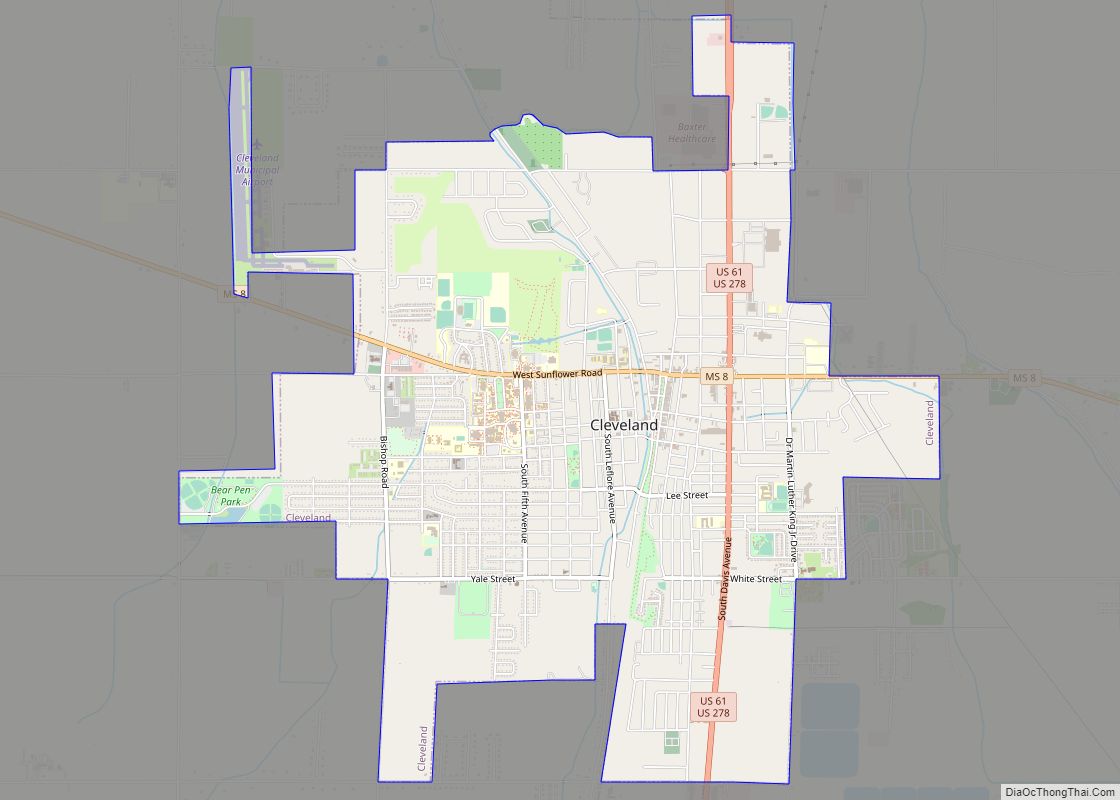
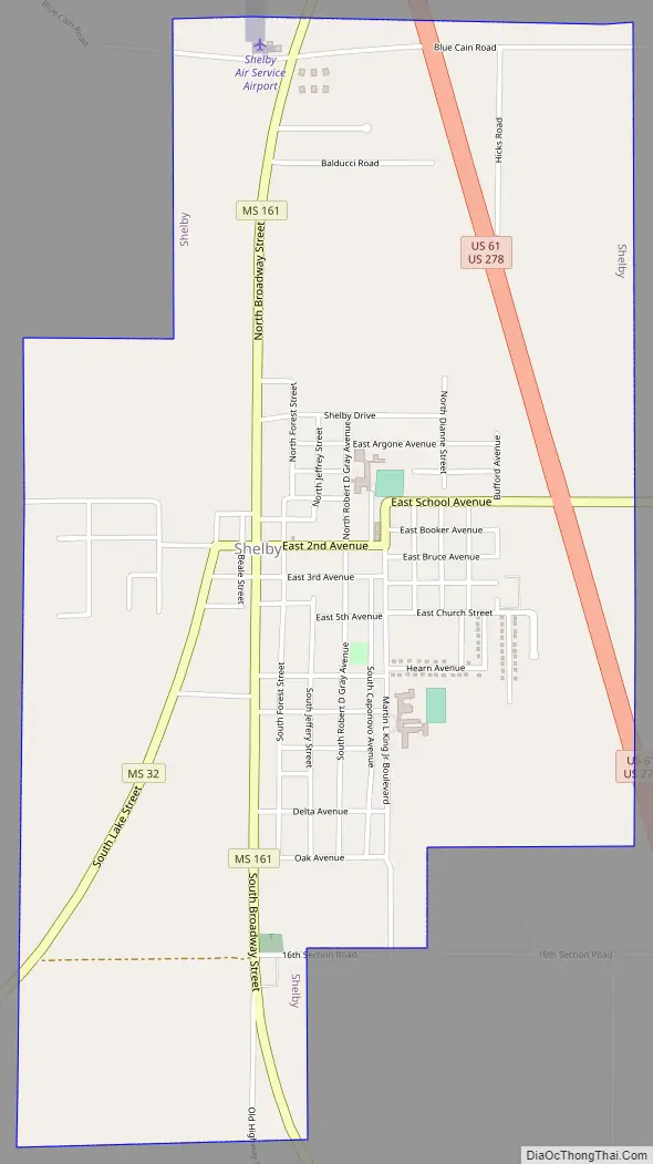
Shelby Road Map
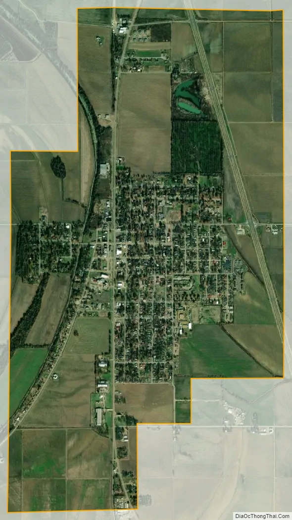
Shelby city Satellite Map
Geography
Shelby is located at 33°56′57″N 90°45′55″W / 33.94917°N 90.76528°W / 33.94917; -90.76528 (33.949293, -90.765241).
According to the United States Census Bureau, the city has a total area of 2.7 square miles (7.1 km), of which 0.012 square miles (0.03 km), or 0.39%, is water.
The rear entrance of the Mississippi State Penitentiary in unincorporated Sunflower County is about 10 miles (16 km) east of Shelby, along Mississippi Highway 32.
See also
Map of Mississippi State and its subdivision:- Adams
- Alcorn
- Amite
- Attala
- Benton
- Bolivar
- Calhoun
- Carroll
- Chickasaw
- Choctaw
- Claiborne
- Clarke
- Clay
- Coahoma
- Copiah
- Covington
- Desoto
- Forrest
- Franklin
- George
- Greene
- Grenada
- Hancock
- Harrison
- Hinds
- Holmes
- Humphreys
- Issaquena
- Itawamba
- Jackson
- Jasper
- Jefferson
- Jefferson Davis
- Jones
- Kemper
- Lafayette
- Lamar
- Lauderdale
- Lawrence
- Leake
- Lee
- Leflore
- Lincoln
- Lowndes
- Madison
- Marion
- Marshall
- Monroe
- Montgomery
- Neshoba
- Newton
- Noxubee
- Oktibbeha
- Panola
- Pearl River
- Perry
- Pike
- Pontotoc
- Prentiss
- Quitman
- Rankin
- Scott
- Sharkey
- Simpson
- Smith
- Stone
- Sunflower
- Tallahatchie
- Tate
- Tippah
- Tishomingo
- Tunica
- Union
- Walthall
- Warren
- Washington
- Wayne
- Webster
- Wilkinson
- Winston
- Yalobusha
- Yazoo
- Alabama
- Alaska
- Arizona
- Arkansas
- California
- Colorado
- Connecticut
- Delaware
- District of Columbia
- Florida
- Georgia
- Hawaii
- Idaho
- Illinois
- Indiana
- Iowa
- Kansas
- Kentucky
- Louisiana
- Maine
- Maryland
- Massachusetts
- Michigan
- Minnesota
- Mississippi
- Missouri
- Montana
- Nebraska
- Nevada
- New Hampshire
- New Jersey
- New Mexico
- New York
- North Carolina
- North Dakota
- Ohio
- Oklahoma
- Oregon
- Pennsylvania
- Rhode Island
- South Carolina
- South Dakota
- Tennessee
- Texas
- Utah
- Vermont
- Virginia
- Washington
- West Virginia
- Wisconsin
- Wyoming