Toomsuba is a census-designated place (CDP) and unincorporated community in Lauderdale County, Mississippi, United States. Its population was 778 as of the 2020 census. Its ZIP code is 39364.
The community is named after Toomsuba Creek.
| Name: | Toomsuba CDP |
|---|---|
| LSAD Code: | 57 |
| LSAD Description: | CDP (suffix) |
| State: | Mississippi |
| County: | Lauderdale County |
| Elevation: | 302 ft (92 m) |
| Total Area: | 5.00 sq mi (12.96 km²) |
| Land Area: | 4.69 sq mi (12.14 km²) |
| Water Area: | 0.31 sq mi (0.81 km²) |
| Total Population: | 778 |
| Population Density: | 165.92/sq mi (64.06/km²) |
| ZIP code: | 39364 |
| Area code: | 601 & 769 |
| FIPS code: | 2873880 |
| GNISfeature ID: | 678818 |
Online Interactive Map
Click on ![]() to view map in "full screen" mode.
to view map in "full screen" mode.
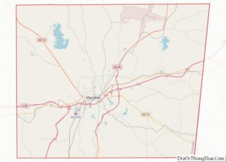
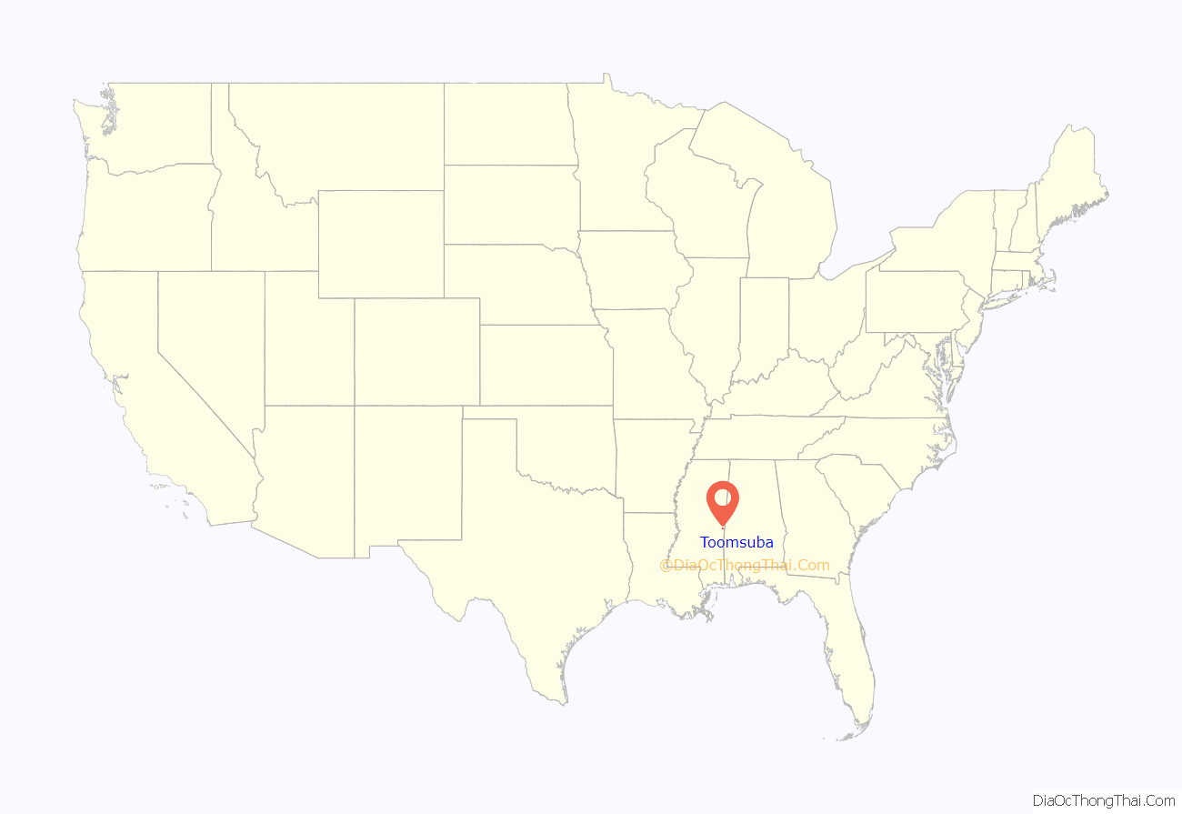
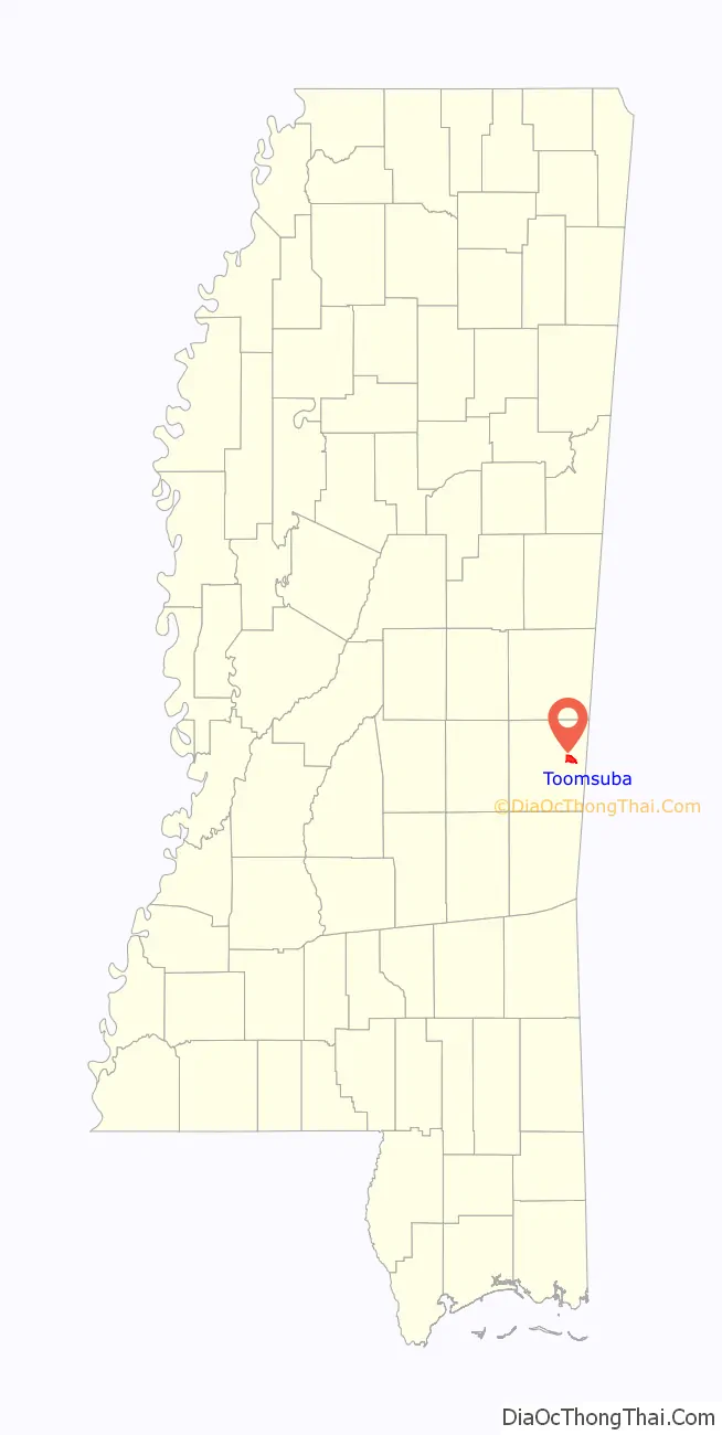
Toomsuba location map. Where is Toomsuba CDP?
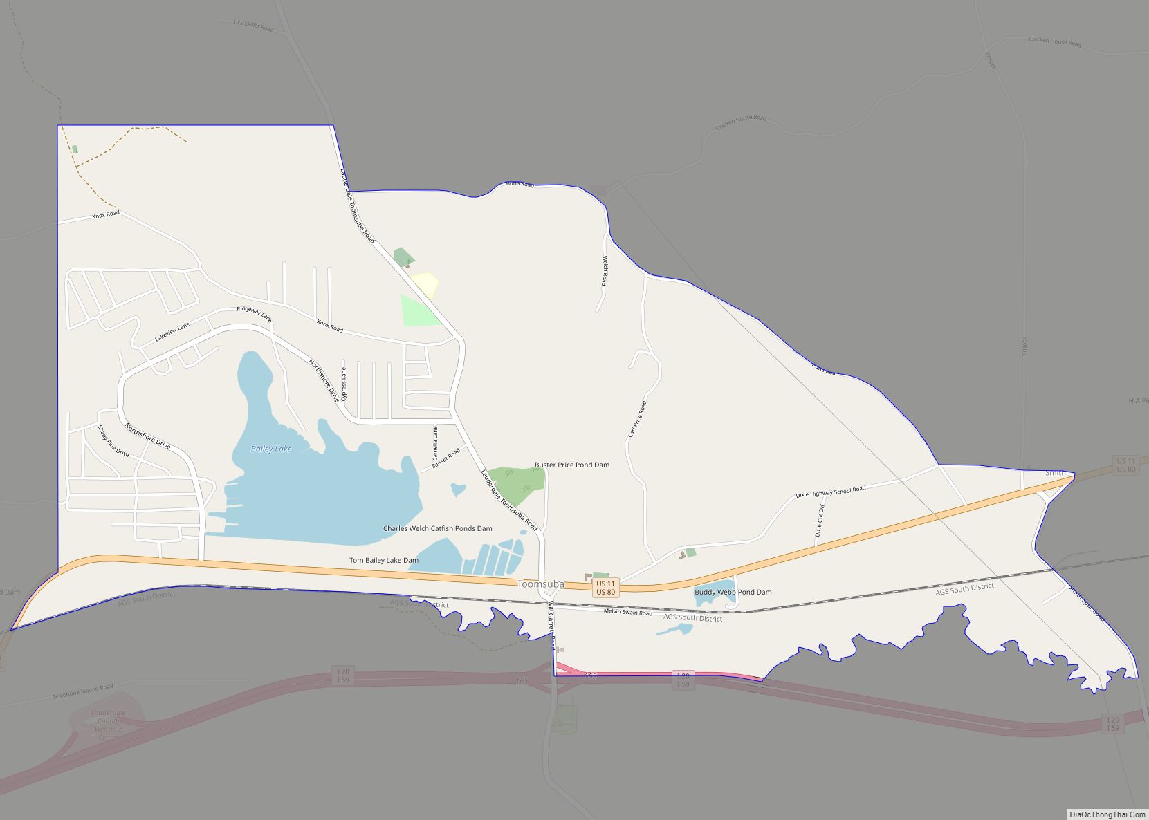
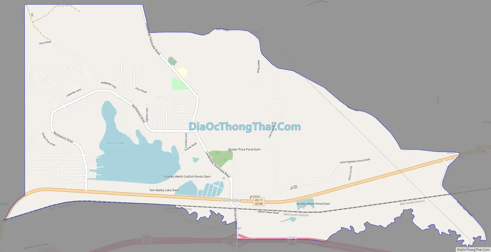
Toomsuba Road Map
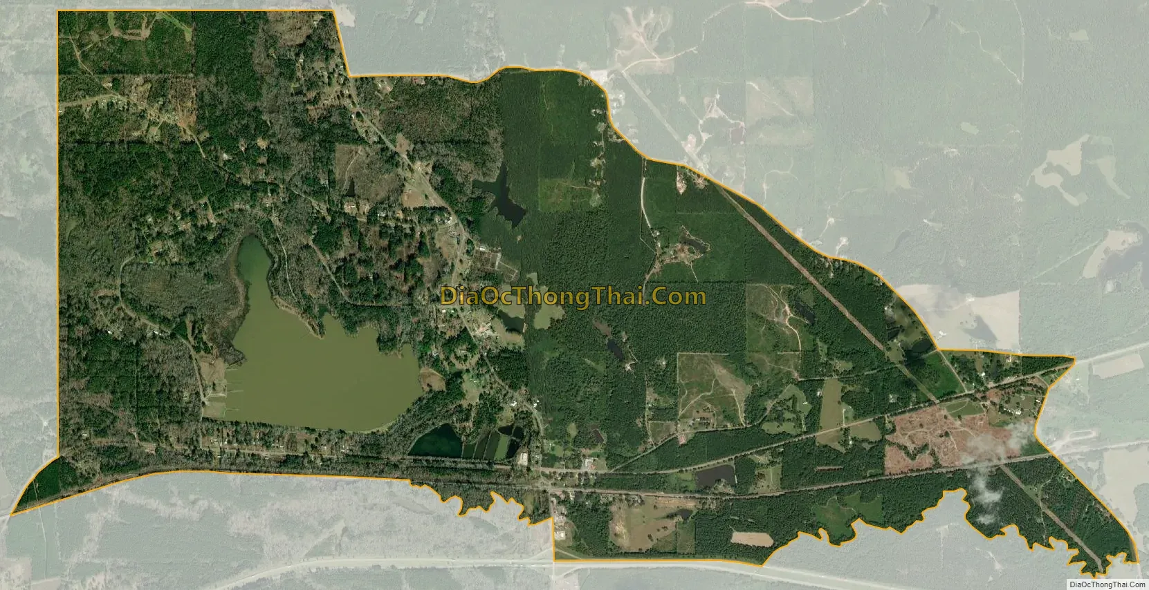
Toomsuba city Satellite Map
Geography
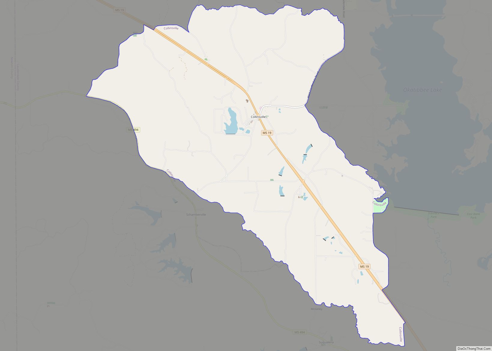
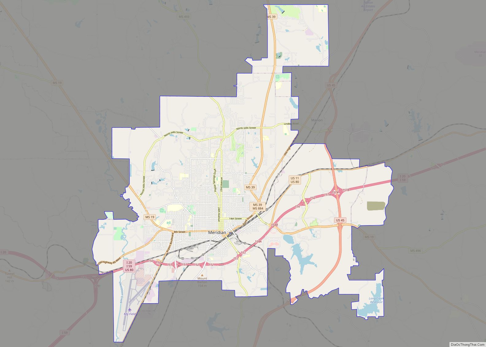
Toomsuba is in eastern Lauderdale County, 13 miles (21 km) east of Meridian, the county seat. U.S. Routes 80 and 11 pass through the community as its main street. Interstate Highways 20 and 59 run along the southern edge of the community, with access from Exit 165 (Will Garrett Road). I-20 and I-59 lead west to Meridian and northeast 77 miles (124 km) to Tuscaloosa, Alabama, while U.S. Route 11 and 80 lead west to Meridian and east 9 miles (14 km) to their split near Cuba, Alabama.
According to the U.S. Census Bureau, the Toomsuba CDP has a total area of 5.0 square miles (13.0 km), of which 4.7 square miles (12.1 km) are land and 0.3 square miles (0.8 km), or 6.27%, are land. In addition to the Toomsuba town center at the crossroads of US 11/80 with Will Garrett Road and Lauderdale–Toomsuba Road, the CDP contains residential development around Bailey Lake, a reservoir just west of the town center.
See also
Map of Mississippi State and its subdivision:- Adams
- Alcorn
- Amite
- Attala
- Benton
- Bolivar
- Calhoun
- Carroll
- Chickasaw
- Choctaw
- Claiborne
- Clarke
- Clay
- Coahoma
- Copiah
- Covington
- Desoto
- Forrest
- Franklin
- George
- Greene
- Grenada
- Hancock
- Harrison
- Hinds
- Holmes
- Humphreys
- Issaquena
- Itawamba
- Jackson
- Jasper
- Jefferson
- Jefferson Davis
- Jones
- Kemper
- Lafayette
- Lamar
- Lauderdale
- Lawrence
- Leake
- Lee
- Leflore
- Lincoln
- Lowndes
- Madison
- Marion
- Marshall
- Monroe
- Montgomery
- Neshoba
- Newton
- Noxubee
- Oktibbeha
- Panola
- Pearl River
- Perry
- Pike
- Pontotoc
- Prentiss
- Quitman
- Rankin
- Scott
- Sharkey
- Simpson
- Smith
- Stone
- Sunflower
- Tallahatchie
- Tate
- Tippah
- Tishomingo
- Tunica
- Union
- Walthall
- Warren
- Washington
- Wayne
- Webster
- Wilkinson
- Winston
- Yalobusha
- Yazoo
- Alabama
- Alaska
- Arizona
- Arkansas
- California
- Colorado
- Connecticut
- Delaware
- District of Columbia
- Florida
- Georgia
- Hawaii
- Idaho
- Illinois
- Indiana
- Iowa
- Kansas
- Kentucky
- Louisiana
- Maine
- Maryland
- Massachusetts
- Michigan
- Minnesota
- Mississippi
- Missouri
- Montana
- Nebraska
- Nevada
- New Hampshire
- New Jersey
- New Mexico
- New York
- North Carolina
- North Dakota
- Ohio
- Oklahoma
- Oregon
- Pennsylvania
- Rhode Island
- South Carolina
- South Dakota
- Tennessee
- Texas
- Utah
- Vermont
- Virginia
- Washington
- West Virginia
- Wisconsin
- Wyoming