Allendale is a borough in Bergen County, in the U.S. state of New Jersey. As of the 2020 United States census, the borough’s population was 6,848, an increase of 343 (+5.3%) from the 2010 census count of 6,505, which in turn reflected a decline of 194 (−2.9%) from the 6,699 counted in 2000.
In 2012, Forbes.com listed Allendale as 481st in its listing of “America’s Most Expensive ZIP Codes”, with a median home price of $579,081.
| Name: | Allendale borough |
|---|---|
| LSAD Code: | 21 |
| LSAD Description: | borough (suffix) |
| State: | New Jersey |
| County: | Bergen County |
| Incorporated: | November 8, 1894 |
| Elevation: | 292 ft (89 m) |
| Total Area: | 3.12 sq mi (8.08 km²) |
| Land Area: | 3.10 sq mi (8.02 km²) |
| Water Area: | 0.02 sq mi (0.05 km²) 0.67% |
| Total Population: | 6,848 |
| Population Density: | 2,211.2/sq mi (853.7/km²) |
| ZIP code: | 07401 |
| FIPS code: | 3400700 |
| GNISfeature ID: | 0885135 |
| Website: | www.allendalenj.gov |
Online Interactive Map
Click on ![]() to view map in "full screen" mode.
to view map in "full screen" mode.
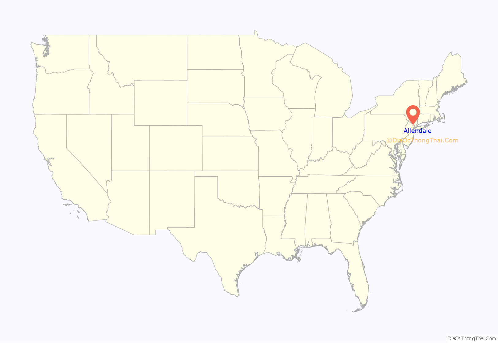
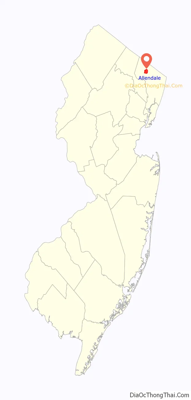
Allendale location map. Where is Allendale borough?
History
In 1888, Henry J. Appert, a Swiss immigrant, drained a bog for the cultivation of onions and celery. The business—Allendale Produce Gardens, or the “celery farm” to locals—supplied wholesale markets and Campbell Soup Company. Allendale was formed on November 8, 1894, from portions of Franklin Township (remainder now Wyckoff), Hohokus Township (remainder now Mahwah) and Orvil Township (remainder now Waldwick).
The borough was formed during the “Boroughitis” phenomenon then sweeping through Bergen County, in which 26 boroughs were formed in the county in 1894 alone. The borough was named for Joseph Warner Allen, a surveyor for the Erie Railroad.
Babe Ruth would frequently vacation at the Allendale Hotel, which remains in use as a rooming house.
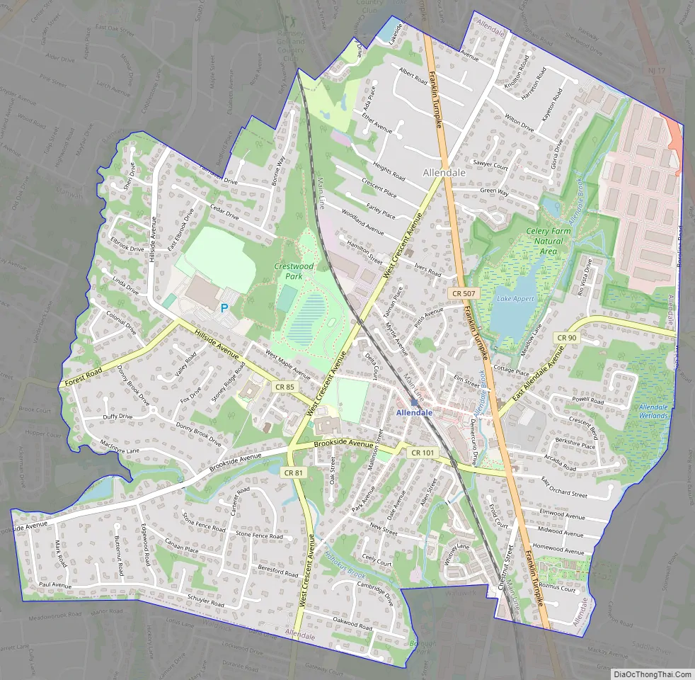
Allendale Road Map
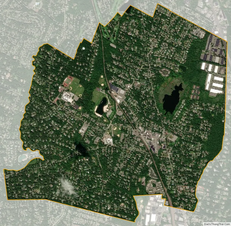
Allendale city Satellite Map
Geography
According to the United States Census Bureau, the borough had a total area of 3.12 square miles (8.08 km), including 3.10 square miles (8.02 km) of land and 0.02 square miles (0.05 km) of water (0.67%).
The borough borders the Bergen County municipalities of Mahwah, Ramsey, Saddle River, Waldwick and Wyckoff.
See also
Map of New Jersey State and its subdivision: Map of other states:- Alabama
- Alaska
- Arizona
- Arkansas
- California
- Colorado
- Connecticut
- Delaware
- District of Columbia
- Florida
- Georgia
- Hawaii
- Idaho
- Illinois
- Indiana
- Iowa
- Kansas
- Kentucky
- Louisiana
- Maine
- Maryland
- Massachusetts
- Michigan
- Minnesota
- Mississippi
- Missouri
- Montana
- Nebraska
- Nevada
- New Hampshire
- New Jersey
- New Mexico
- New York
- North Carolina
- North Dakota
- Ohio
- Oklahoma
- Oregon
- Pennsylvania
- Rhode Island
- South Carolina
- South Dakota
- Tennessee
- Texas
- Utah
- Vermont
- Virginia
- Washington
- West Virginia
- Wisconsin
- Wyoming


